


Kaiser Franz Joseph Steig
The tour in numbers
Route
4,5 km
Time
6:00 h
Uphill
880 hm
Downhill
1000 hm
Highest point
1600 m
This via ferrata of difficulty C/D is located in the region around Erzberg-Leoben and offers breathtaking views of Lake Leopoldstein.
The “Kaiser Franz Joseph” via ferrata takes its name from the emperor who, over 100 years ago, climbed up to the middle of the wall, the so-called Kaiserbuche, to hunt chamois.
The impressive and long via ferrata is modern and exemplary, leads through the 860m high lake wall and has a photogenic rope bridge at the end..
Best season
January
February
March
April
May
June
July
August
September
October
November
December
More information
Detail of how to find us you can find here.
Sufficient (paid parking) available directly at the lake:
Sufficient (paid parking) available directly at the lake:
HIKE:
4 hours, 880 vertical meters
The most difficult via ferrata sections await you on the starting wall with two D passages.
This is followed by the “ERZBERGBLICK” rest area and an easy left crossing into the Kaisersteig forest area. Here is also an exit point (Kaisersteig) with an easy A/B descent.
After approx. 200 m you reach the main pillar, which leads to the Schwalbennest resting place in a steadily ascending difficulty C/D.
The route then continues via a gully (C) and a slab pillar (B C C) to the Adlerhorst rest area.
Caution: this is followed by the extremely exposed headwall C D and two short pillars (C/D and C) via which you reach the Ochsenbrand with the climbing book. After about 200 meters in altitude over steep meadows, you reach the last section. This leads over two pillars (B/C and C) and the double rope bridge to the exit.
DESCENT:
2 hours, 1000 meters of altitude
From the exit, follow the marked path northwards until you reach the junction with the hiking trail to Hochblaser. Here you keep to the left and descend via the marked trail (trail 822, secured, points A) to the lake outlet.
ALTERNATIVE DESCENT:
After the exit it takes about 1 hour to reach the summit of the Hochblaser (1771m) and on the marked path via the Hassenwilzinghütte (not managed, 1346m) and the so-called Geißstall into the Seeau and along the lake back to the parking lot (from Hochblaser summit another 3 hours).
Due to the considerable wall height, the Kaiser Franz-Josef-Klettersteig is only recommended for very persistent and experienced climbers. If problems already occur in the entry wall, further ascent of the via ferrata is urgently not recommended!
After rainfall there is a danger of slipping in the entrance wall and in the steep meadow of the "Ochsenbrand" and during the descent!
For real via ferrata professionals, the combination with the extremely difficult Rosslochhöhlen via ferrata (5, D/E) is recommended as a top-up.
The via ferrata has been divided into 10 safety zones, which are numbered with panels (1-10). In case of emergency, call 140 mountain rescue or emergency number 122 - European emergency call - and give the number of the safety section.
The sea wall is a south wall! Do not forget sun protection!
Emergency call mountain rescue: 140
Tip for reporting an emergency - give answers to the six W-questions: What happened? How many injured? Where did the accident happen (possibly GPS coordinates)? Who is reporting (callback number)? When did the accident happen? Weather at the accident site?
Alpine distress signal: 6 x per minute (call, whistle, light signal) 1 minute break then repeat
Buy your equipment in a "mountain sports store" (professional advice).combi harness (chest and seat harness) or hip belt, via ferrata set with additional loop (lazybones) and easy-to-use carabiners (sample the different models in the store or at the course), rockfall helmet, gloves, suitable mountain boots (also for access and descent on snow and ice), 2 rep cords, reserve clothing, food and plenty of drinks.You can rent equipment in Eisenerz here!
Please note: Control of the equipment - distance to the person in front at least 1 rope field!
Keep to the right at the intersection with the hiking trail to Hochblaser, and after about 20 minutes you will reach the Rosslochhöhlen via ferrata.
Timetables and travel information can be found directly at:
Österreichischen
Bundesbahnen (ÖBB)) , Steiermärkischen
Landesbahnen (STLB).
Mit der BusBahnBim App der
Verbundlinie ist eine Fahrplanauskunft so einfach wie noch nie: Alle
Verbindungen mit Bus, Bahn und Straßenbahn in Österreich können durch die
Eingabe von Orten und/oder Adressen, Haltestellen bzw. wichtigen Punkten
abgefragt werden. Erhältlich ist die App als Gratis-App für Smartphones
(Android, iOS) – auf Google
Play und im App
Store
Tourismusverband Erzberg-Leoben
Homanngasse 12
8700 Leoben
Phone: +43 3842 48148
office@erzberg-leoben.at
Map & downloads
Gallery
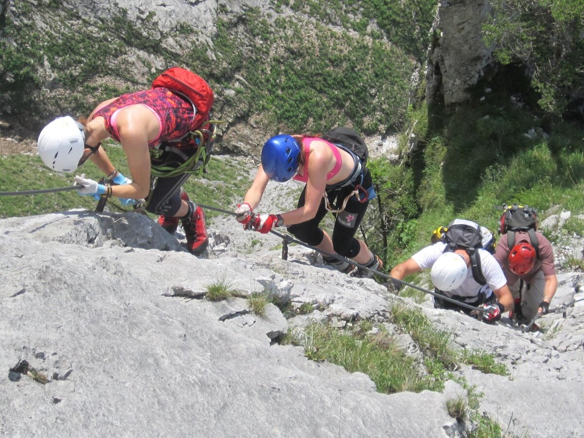
kaiser franz joseph steig_img_7534106 | © Community | Christian Hodnik
1/7
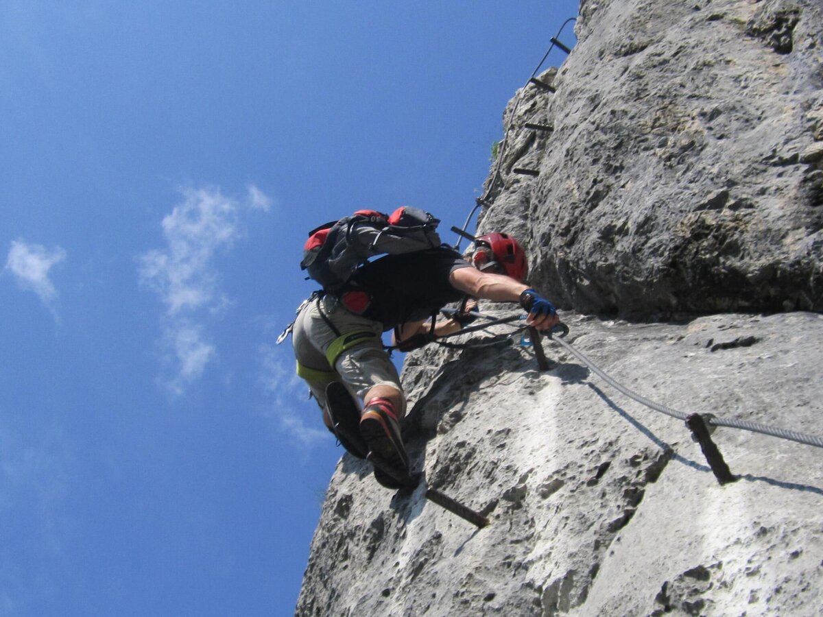
kaiser franz joseph steig_img_7534105 | © Community | Christian Hodnik
2/7
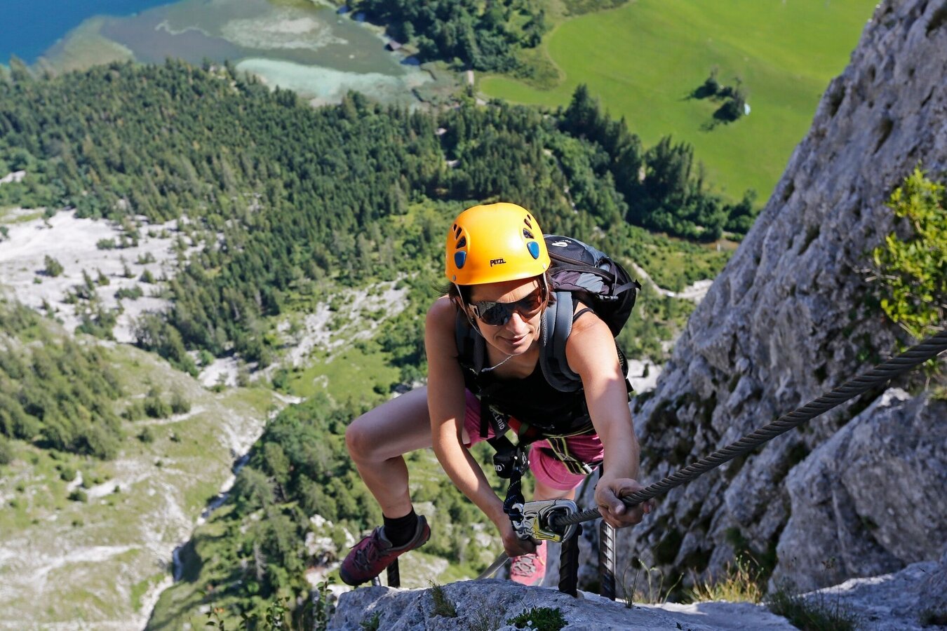
Kaisersteig | © Tourismusverband ERZBERG LEOBEN | Herbert Raffalt
3/7
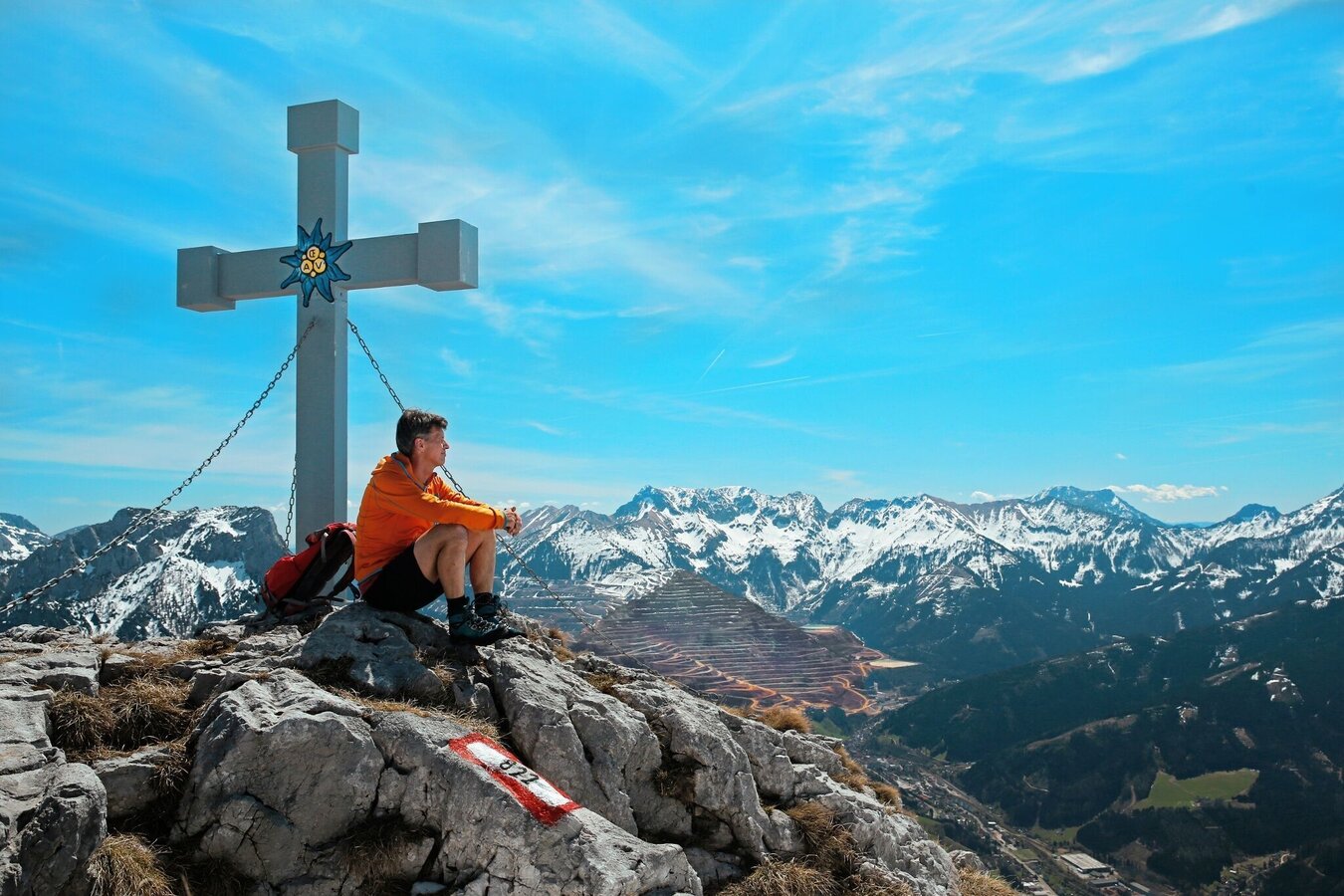
Hochblaser | © Tourismusverband ERZBERG LEOBEN | Herbert Raffalt
4/7
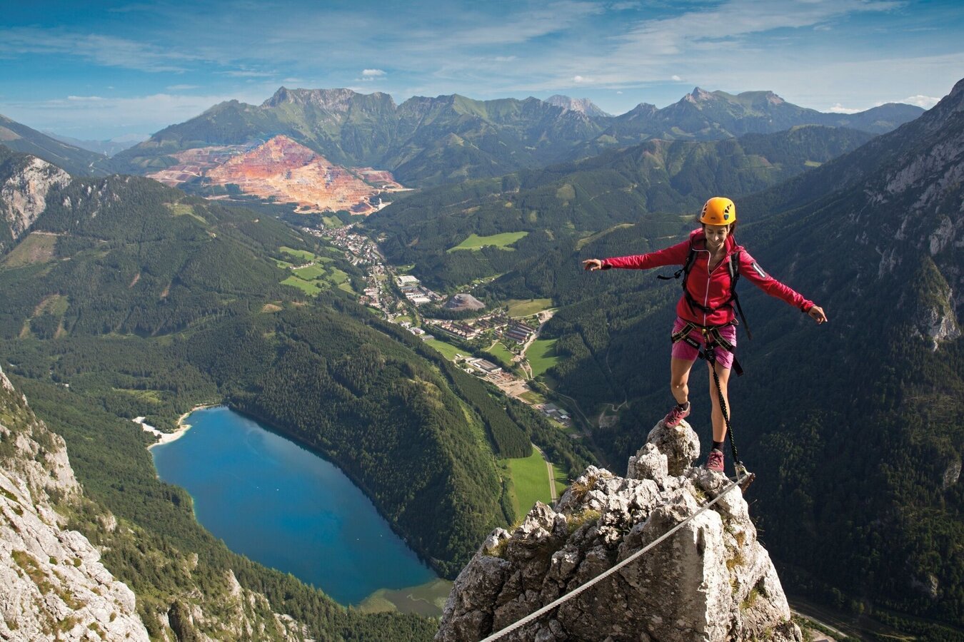
Kaisersteig | © Tourismusverband ERZBERG LEOBEN | Herbert Raffalt
5/7
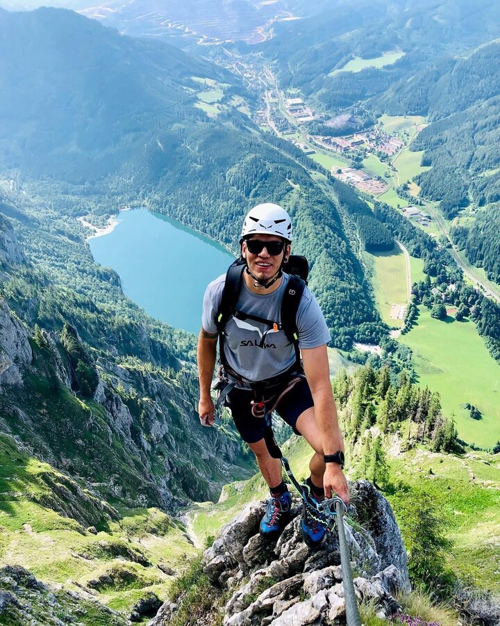
Kaiser Franz Joseph Steig | © Tourismusverband ERZBERG LEOBEN | Patrick Schuster
6/7
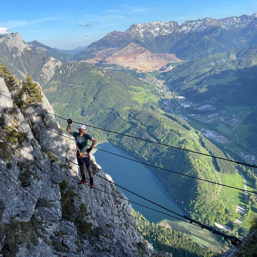
Kaiser Franz Joseph Steig | © Tourismusverband ERZBERG LEOBEN | Christoph Eibl
7/7

What the weather will be like Eisenerz (711m)
Today, 16.10.2026
Some clouds in the morning, lateron much sunshine and hardly any cloudsMorning

6°C
sr.Regenwahrscheinlichkeit
0%
sr.Windstärke
5 km/h
Noon

16°C
sr.Regenwahrscheinlichkeit
0%
sr.Windstärke
5 km/h
Night
8°C
sr.Regenwahrscheinlichkeit
0%
sr.Windstärke
0 km/h
Tomorrow, 17.10.2026
Mostly cloudy through the day with a chance of occasional sunny spells.Morning

4°C
sr.Regenwahrscheinlichkeit
0%
sr.Windstärke
0 km/h
Noon
16°C
sr.Regenwahrscheinlichkeit
0%
sr.Windstärke
0 km/h
Night

10°C
sr.Regenwahrscheinlichkeit
10%
sr.Windstärke
5 km/h
Forecast
18.10.2026
6°C
16°C
19.10.2026
5°C
16°C
20.10.2026
5°C
15°C
