


Neuburgalm Hike
Characteristics
SkillThe tour in numbers
Level of difficulty
easy
Route
3,8 km
Time
1:15 h
Uphill
442 hm
Downhill
442 hm
Highest point
1400 m
For the alpine pasture hike, the starting point is the copper mine or from the parking lot at the end of the valley in Hinterradmer. The hiking trail leads along a well-marked forest road and is therefore ideal for families. The hiker walks on gravel road and forest paths. The hike is located in the Erzberg-Leoben region.
From the show mine, a beautiful forest trail leads directly to the Neuburgalm. On the way you have a great view of the Radmertal.
The alp is located at 1400m and is managed from the beginning of June until mid-September and you can expect delicious breads and homemade pastries. The path to the alp is in excellent condition and also with children in about 1 1/4 hour to cope.
Alpine dairymen: Erika and Gerhard Promberger. +43(0)664/5051430
Best season
January
March
March
April
May
June
July
August
September
October
November
December
More information
from Liezen through the Gesäuse to Hieflau and here further in the direction of Eisenerz - turn right in the direction of Hinterradmer or Radmer an der Hasl.
Copper mine or parking lot at the end of the valley
from Leoben to Eisenerz and further towards Hieflau. On the way to Hieflau turn left into the Radmertal to Radmer an der Hasl
Copper mine or parking lot at the end of the valley
Well signposted forest road
From the end of the Radmer valley, a gravel road leads in the direction of the Furtner estate and then through the high forest to the Neuburgalm at 1400m. Good Jaus and pastries as well as a Almkaffee strengthens the hiker
not a difficult tour also suitable for children
Emergency call rescue: 144 Tip to report an emergency - give answers to the six W-questions: What happened? How many injured? Where did the accident happen (possibly GPS coordinates)? Who is reporting (callback number)? When did the accident happen? Weather at the accident site?
good footwearProper backpacking makes many things easier: pack heavy things first. The water bottle should always be within easy reach in a side pocket. All things that are often needed such as sunglasses, camera or hiking map belong on top. An emergency kit including blister plaster belongs in every backpack and a clothing according to the "onion system" is always recommended!
From the Neuburgalm you can hike to the Neuburgsattel or after a refreshment you hike along a forest road and finally reach the Schafbödenalm via the incoming Glanglweg.
Alternatively, you can also ascend from the Neuburgalm to the Gscheidegkogel or Ochsenriedl, as the people of Radmer call this mountain, and enjoy the magnificent panoramic view at an altitude of 1788m.
A transition into the Johnsbachtal.
difficult to reach by public transport
Tourismusverband Erzberg-Leoben
Tourist office
Homanngasse 12
8700 Leoben
Phone: +43 3842 48148
office@erzberg-leoben.at
Map & downloads
Gallery
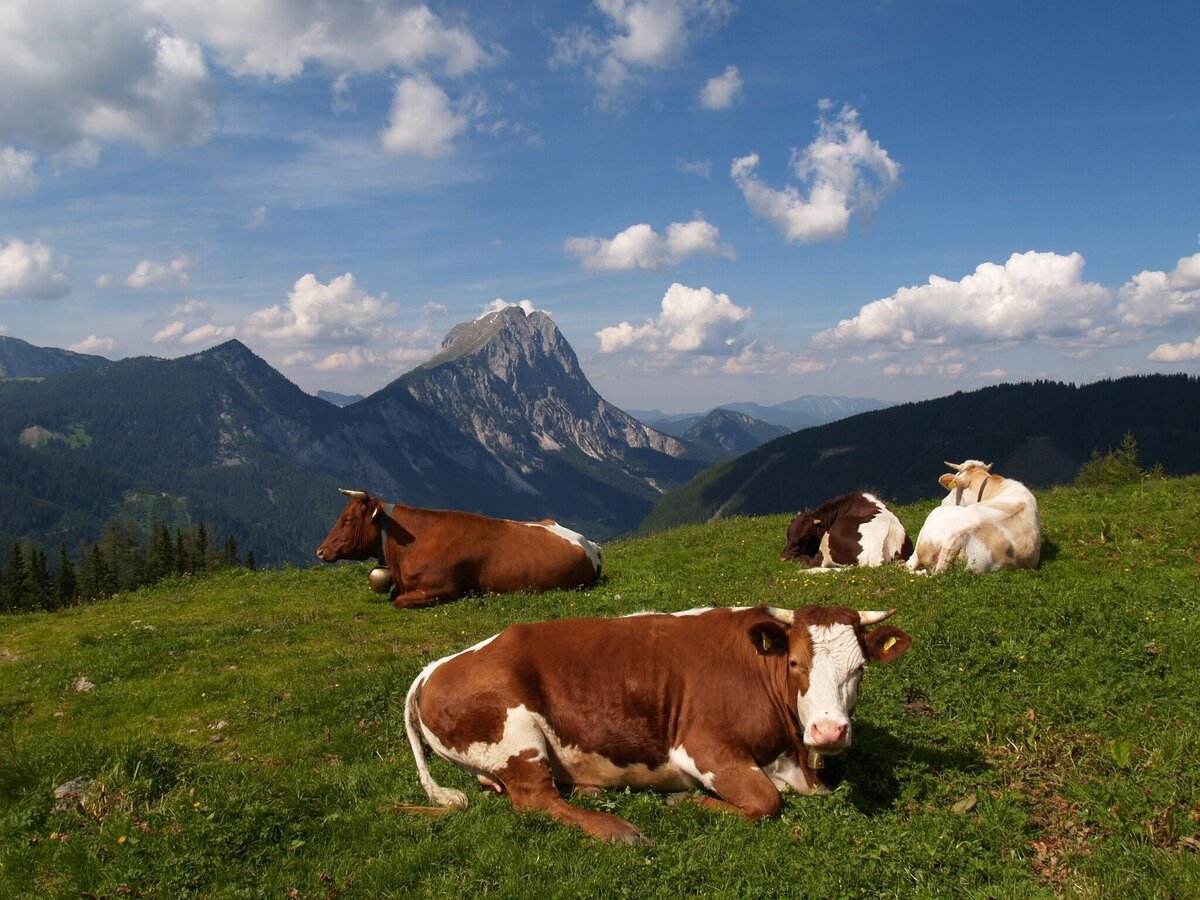
Neuburgalm in Radmer | © Tourismusverband ERZBERG LEOBEN | Ludwig Gottsbacher
1/4
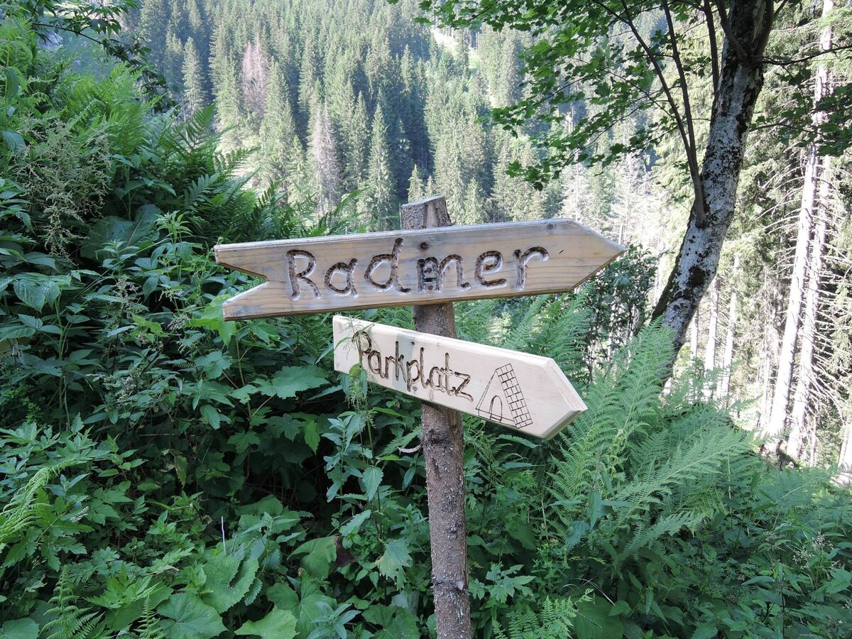
Ausganspunkt Talende Parkplatz | © Tourismusverband ERZBERG LEOBEN | Markus Köppl
2/4
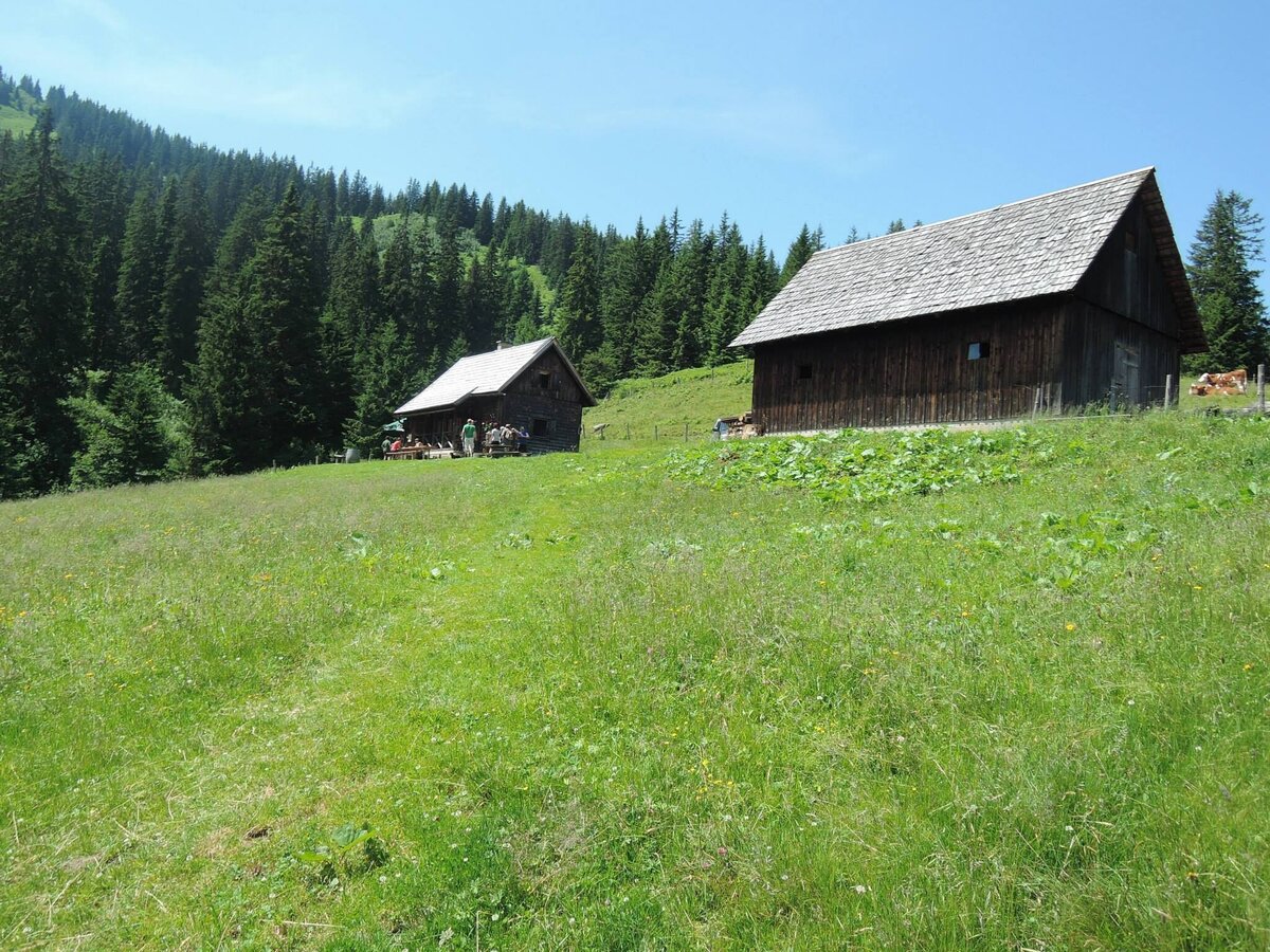
Neuburgalm | © Tourismusverband ERZBERG LEOBEN | Markus Köppl
3/4
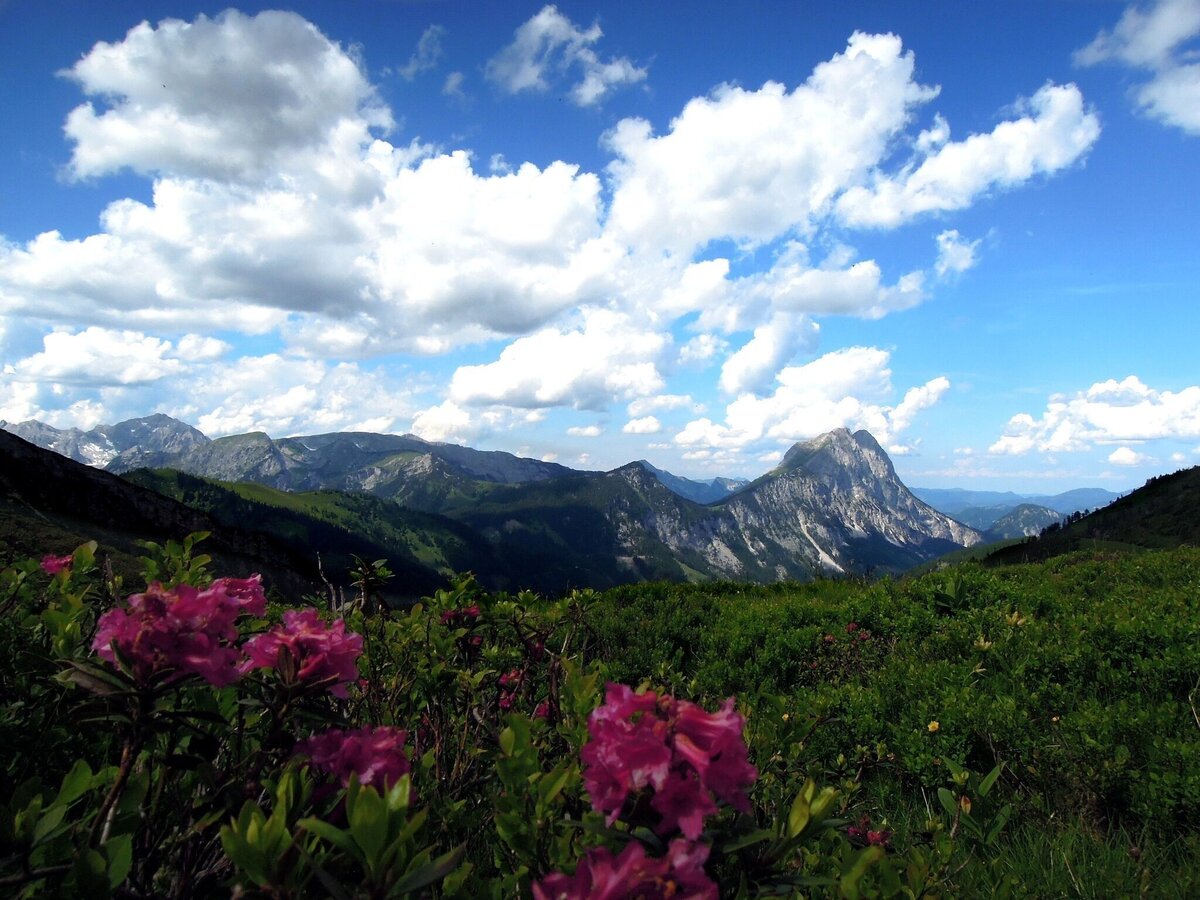
Almrausch - Radmer | © Tourismusverband ERZBERG LEOBEN | Ludwig Gottsbacher
4/4

What the weather will be like Radmer (692m)
Today, 30.09.2026
Dry and sunny throughout the day with hardly any clouds.Morning

10°C
sr.Regenwahrscheinlichkeit
0%
sr.Windstärke
10 km/h
Noon
22°C
sr.Regenwahrscheinlichkeit
0%
sr.Windstärke
15 km/h
Night
14°C
sr.Regenwahrscheinlichkeit
0%
sr.Windstärke
10 km/h
Tomorrow, 01.10.2026
Dry and bright with plenty of sunshine, clouds will be rare.Morning
8°C
sr.Regenwahrscheinlichkeit
0%
sr.Windstärke
5 km/h
Noon
21°C
sr.Regenwahrscheinlichkeit
0%
sr.Windstärke
10 km/h
Night

13°C
sr.Regenwahrscheinlichkeit
0%
sr.Windstärke
5 km/h
Forecast
02.10.2026
5°C
20°C
03.10.2026
5°C
21°C
04.10.2026
4°C
21°C
