


3-Summit-tour Eisenerz
Characteristics
SkillThe tour in numbers
Level of difficulty
challenging
Route
12,0 km
Time
7:00 h
Uphill
1420 hm
Downhill
1420 hm
Highest point
2105 m
This great and challenging mountain tour in the Erzberg-Leoben region takes us to the three highest peaks of the Kaiserschild mountain range.
We start the tour at the Gh. Gemeindealm. We follow trail 683 in the direction of the Kaiserschild. On gravel it goes comfortably along until the path branches off to the right and we reach the turnoff to the Kaiserschild. Through the deciduous forest it goes steeply uphill. We leave the forest and reach the entrance to the Bärenloch climb. The short, partly rope-secured climbing section is also suitable for beginners who are free from giddiness and sure-footed. To the right of us rises the Kaiserschild. If you want, you can do without the Kaiserschild, climb the Hochkogel and save about 1 hour. Those who take the shortcut, however, miss the view of the Erzberg. After about 3 hours we reach the Kaiserschild. Along the ridge we go in the direction of Hochkogel. After 1 hour we reach the Hochkogel summit cross. Via trail 683 we now descend in the direction of Ramsau. The path leads partly along the ridge, through mountain pines and finally through coniferous forest. After about 6 hours walking time we reach the starting point.
Best season
January
March
March
April
May
June
July
August
September
October
November
December
More information
Ascent from the parking lot Gemeindealm into the Bärenloch (forest road) to the Kaiserschild (2084m) is rope-secured - a head for heights and surefootedness are required. 1065 Hm about 3 hours walking time. Descent over the NW ridge to the striking saddle south of the Kaiserwart and further to the Hochkogel (2105m) is not to be underestimated. (Beware of falling rocks on the Kaiserschild, unsecured wall section, steep grass) Duration about 1.5 hours. The descent to the Radmerhals and the starting point at the Gemeindealm parking lot takes another 2.5 hours.
Route: parking lot Gemeindealm - Bärenloch Steig - Kaiserschild - Kaiserwarte - Hochkogel - Radmerhals and back to the starting point.
Total hiking time: about 7 hours and 1340 HM
Emergency call mountain rescue: 140
Emergency reporting tip - provide answers to the six W questions:
What happened? How many injured? Where did the accident happen (possibly GPS coordinates)? Who is reporting (callback number)? When did the accident happen? Weather at the accident site?
Very long, demanding tour and requires surefootedness and fitness as well as a head for heights.
Attention! Partly danger of falling rocks - uninsured rock steps and wire rope protections.
good sturdy hiking boots; sufficient water and rainwear. partly danger of falling rocks - here a helmet would be recommended.Proper backpacking makes many things easier: pack heavy things first. The water bottle should always be within easy reach in a side pocket. All things that are often needed such as sunglasses, camera or hiking map belong on top. An emergency kit including blister plaster belongs in every backpack and a clothing according to the "onion system" is always recommended!
Total 1340 Hm and a hiking time of about 7 hours
Very long, demanding tour and requires surefootedness and fitness as well as a head for heights. Partly wire rope protections and unsecured rock steps.
At the starting point there are two good places to stop for refreshments - Gasthaus Gemeindealm and Gasthof Pichlerhof.
difficult to reach by public transport
Tourismusverband Erzberg-Leoben
Tourist office
Homanngasse 12
8700 Leoben
Phone: +43 3842 48148
office@erzberg-leoben.at
You can find out more about the Eisenerz Ramsau here.
Map & downloads
Gallery
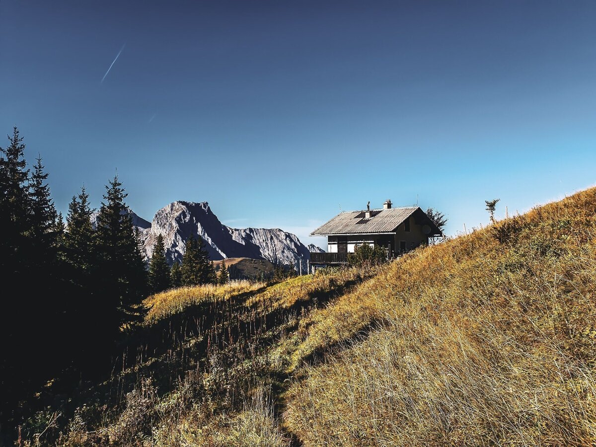
Kaiserschild | © Tourismusverband ERZBERG LEOBEN | David Busse
1/8
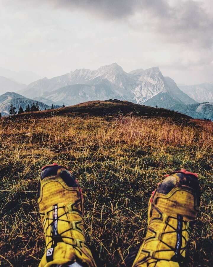
Kaiserschild | © Tourismusverband ERZBERG LEOBEN | David Busse
2/8
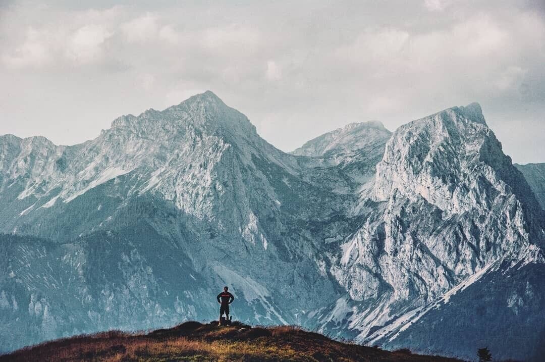
Kaiserschild und Hochkogel | © Tourismusverband ERZBERG LEOBEN | David Busse
3/8
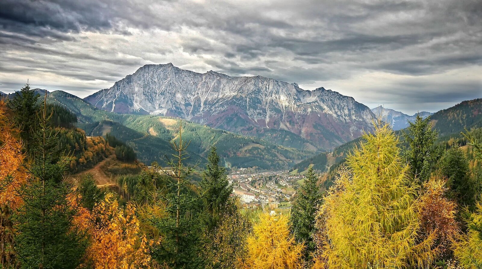
Kaiserschild | © Tourismusverband ERZBERG LEOBEN | Michael Pezmann
4/8
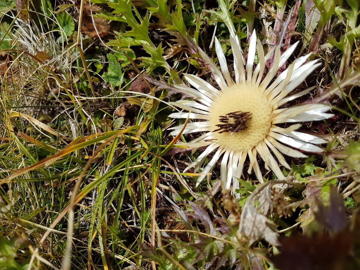
Schönheit der Natur | © Tourismusverband ERZBERG LEOBEN | Simon Pirouc
5/8
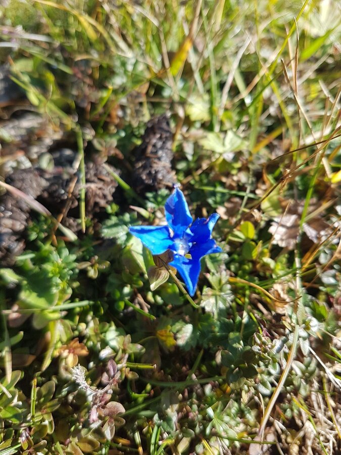
Enzian | © Tourismusverband ERZBERG LEOBEN | Simon Pirouc
6/8
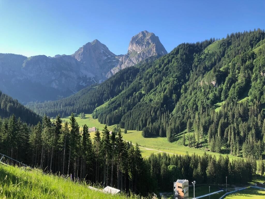
Eisenerzer Ramsau | © Tourismusverband ERZBERG LEOBEN | Petra Loitzl
7/8
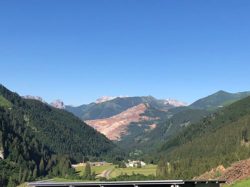
Eisenerzer Ramsau | © Tourismusverband ERZBERG LEOBEN | Petra Loitzl
8/8

What the weather will be like Eisenerz (711m)
Today, 30.09.2026
Dry and sunny throughout the day with hardly any clouds.Morning

9°C
sr.Regenwahrscheinlichkeit
0%
sr.Windstärke
5 km/h
Noon
21°C
sr.Regenwahrscheinlichkeit
0%
sr.Windstärke
10 km/h
Night
14°C
sr.Regenwahrscheinlichkeit
0%
sr.Windstärke
10 km/h
Tomorrow, 01.10.2026
Dry and bright with plenty of sunshine, clouds will be rare.Morning
8°C
sr.Regenwahrscheinlichkeit
0%
sr.Windstärke
5 km/h
Noon
21°C
sr.Regenwahrscheinlichkeit
0%
sr.Windstärke
10 km/h
Night

13°C
sr.Regenwahrscheinlichkeit
0%
sr.Windstärke
5 km/h
Forecast
02.10.2026
5°C
20°C
03.10.2026
4°C
21°C
04.10.2026
4°C
21°C
