


Trautmannsdorf round (Trautmannsdorf Runde)
Accessible by public transport- Hiking taxi
Characteristics
SkillThe tour in numbers
Level of difficulty
medium
Route
6,5 km
Time
1:30 h
Uphill
164 hm
Downhill
179 hm
Highest point
368 m
We are rewarded with beautiful views, but first we have to climb the hills. Wonderful viewpoints invite you to stop and rest along the way.
Start/finish: Parking lot above the parish church in Trautmannsdorf / intersection Bundesstraße. Because of quite steep ascents and descents, this round is more suitable for well-trained runners without joint problems, for Nordic walkers who like to be on the move in cropped terrain, and as a hiking trail.
Wonderful viewpoints invite you to take a break!
Do not get confused! You can find this trail with two different markings: Running & Walking "Trautmannsdorf Round" - board in dark green and On the trail of volcanoes "Art & Power" - board in yellow with black lettering.
Best season
January
February
March
April
May
June
July
August
September
October
November
December
More information
Arrival by car from the direction of Vienna:
Freeway A2 direction Graz - you take the exit Gleisdorf-Süd
Arriving by car from the direction of Graz:
Freeway A2 direction Vienna - you take the exit Gleisdorf-Süd
Arrival by train:
Austrian Federal Railways: TelNr. 0043 (0) 51717 or www.oebb.at
Detailed information on how to get to us can be found here.
Parking lot above or below the parish church in Trautmannsdorf
Freeway A2 direction Graz - you take the exit Gleisdorf-Süd
Arriving by car from the direction of Graz:
Freeway A2 direction Vienna - you take the exit Gleisdorf-Süd
Arrival by train:
Austrian Federal Railways: TelNr. 0043 (0) 51717 or www.oebb.at
Detailed information on how to get to us can be found here.
Parking lot above or below the parish church in Trautmannsdorf
The Trautmannsdorf circuit leads you - starting from the parking lot above the parish church in Trautmannsdorf - over very varied terrain on mostly untraveled paths from the Kirchberg in Trautmannsdorf towards Blödenbach and further along the Kaargebirge and the Kühgraben via Liergl back to the starting point.
The Trautmannsdorf loop is suitable for well-trained runners without joint problems, for Nordic walkers who like to walk in rough terrain, or as a hiking trail.
Wonderful viewpoints along the way invite you to rest and enjoy.
Emergency call mountain rescue: 140 ambulance: 144 European emergency call: 112 firefighters: 122 police: 133
Tips when reporting an emergency – Answer these six WH questions: What happened? How many people are injured? Where did the accident happen (are there GPS coordinates)? Who is reporting the incident (callback number)? When did the accident happen? What is the weather like at the site of the incident?
Proper backpack packing makes many things easier: Pack heavy things first. The water bottle should always be within reach in a side pocket. All the things that are often needed, such as sunglasses, camera or hiking map, belong on top. An emergency kit, including blister plasters, belongs in every rucksack and it is always advisable to dress in layers.
SteiraWirt - The inn of the Rauch family! Two cuisine lines to choose from: traditional inn cuisine and creative gourmet cuisine. Idyllic guest garden!
Detailed information about arriving by ÖBB (Austrian Federal Railways) can be found at www.oebb.at or on the Verbundlinie Steiermark website www.busbahnbim.at
With Verbundlinie’s BusBahnBim route planner app, planning your journey has never been easier: simply enter towns and/or addresses, stop names or points of interest to check all bus, train and tram connections in Austria. The app is available free of charge for smartphones – on Google Play and in the App Store
With Verbundlinie’s BusBahnBim route planner app, planning your journey has never been easier: simply enter towns and/or addresses, stop names or points of interest to check all bus, train and tram connections in Austria. The app is available free of charge for smartphones – on Google Play and in the App Store
Tourist Office Thermen- & Vulkanland
Gästeinfo Bad Gleichenberg
Kaiser-Franz-Josef-Str. 1/top 4
8344 Bad Gleichenberg
Tel: +43 3382 55 100-44
badgleichenberg@thermen-vulkanland.at
www.thermen-vulkanland.at
Running and walking brochure available at the tourist office of Bad Gleichenberg!
Gästeinfo Bad Gleichenberg
Kaiser-Franz-Josef-Str. 1/top 4
8344 Bad Gleichenberg
Tel: +43 3382 55 100-44
badgleichenberg@thermen-vulkanland.at
www.thermen-vulkanland.at
Running and walking brochure available at the tourist office of Bad Gleichenberg!
Volcanic Land Hiking Map "Man & Nature" 1:500.000 Styrian Volcanic Country Tel. +43 (0)3152/8575-710 www.spuren.at
freytag & berndt WK 412 Southeast Styrian Hills, Volcanic Country, Bad Gleichenberg, Bad Radkersburg
Kompass Wanderführer "Steirisches Vulkanland - Auf den Spuren der Vulkane" Beschreibungen, Routenkarten und Höhenprofilen ISBN 978-3-85026-096-1 www.kompass.atMap & downloads
Gallery
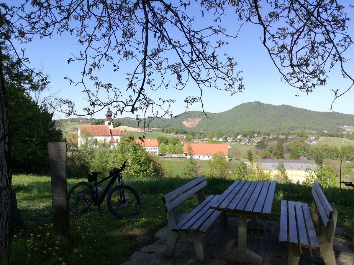
kraft.Schöpfen mit Ausblick auf den Gleichenberger Kogel in Trautmannsdorf | © Thermen- & Vulkanland | Daniela Neubauer
1/8
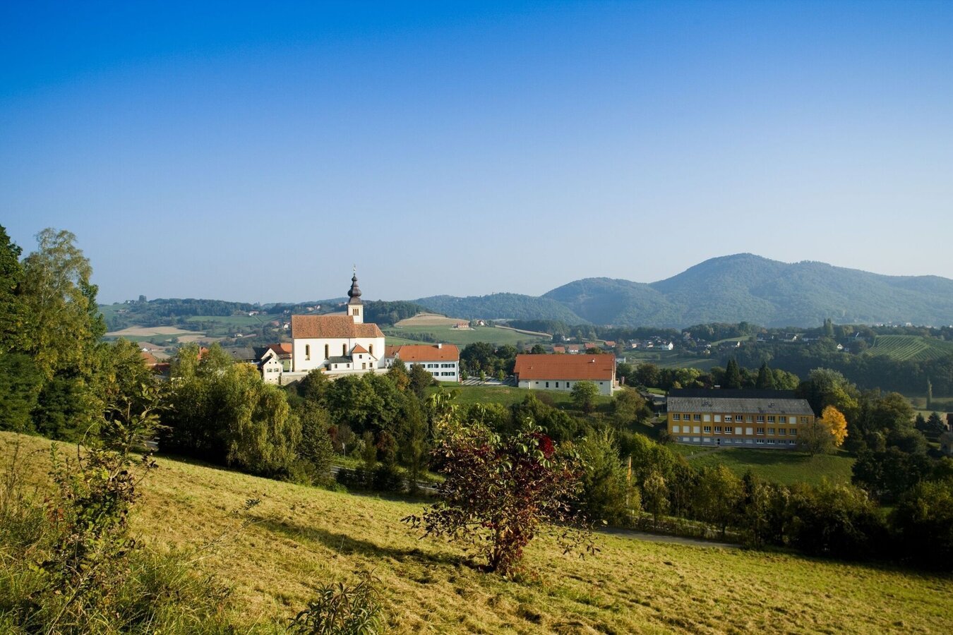
Aussicht auf Trautmannsdorf | © Thermen- & Vulkanland | Werner Krug
2/8
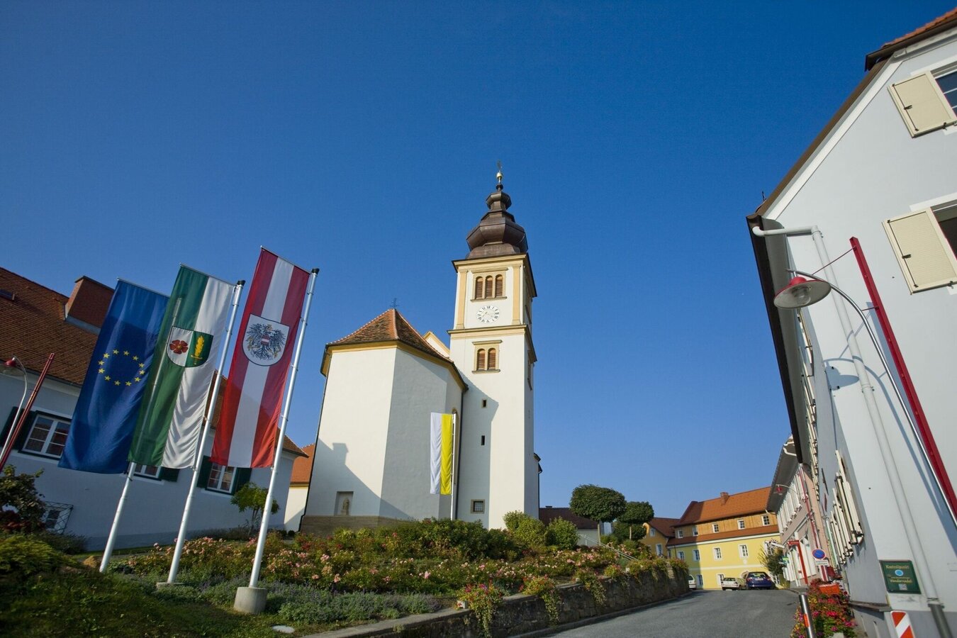
Pfarrkirche Trautmannsdorf | © Thermen- & Vulkanland | Werner Krug
3/8
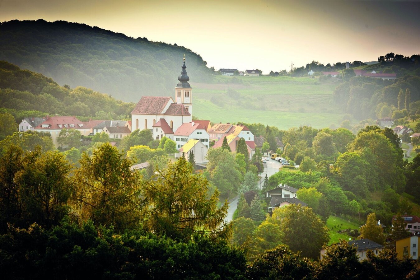
Aussicht vom Rudofkogel - Herzspur | © Thermen- & Vulkanland | Werner Krug
4/8
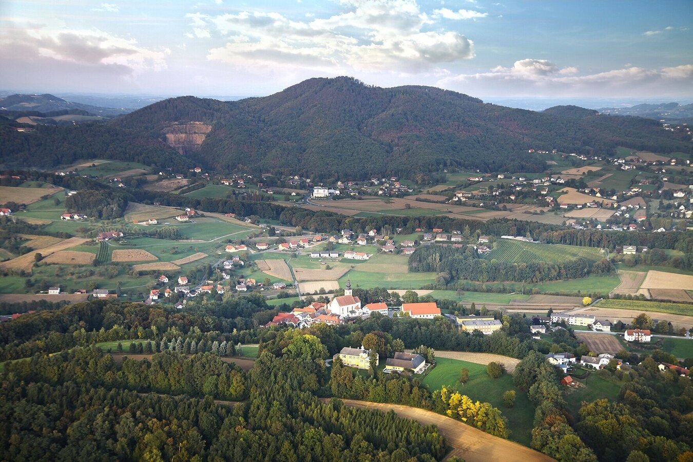
Ortsteil Trautmannsdorf | © Thermen- & Vulkanland | Werner Resch
5/8
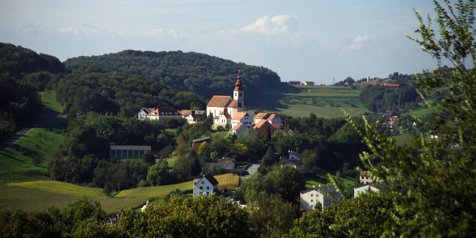
trautmannsdorf-runde_img_16607397 | © Thermen- & Vulkanland | Birgit Weiß
6/8
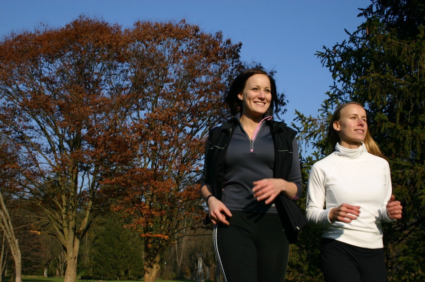
auf geht's! | © Thermen- & Vulkanland | Birgit Weiß
7/8
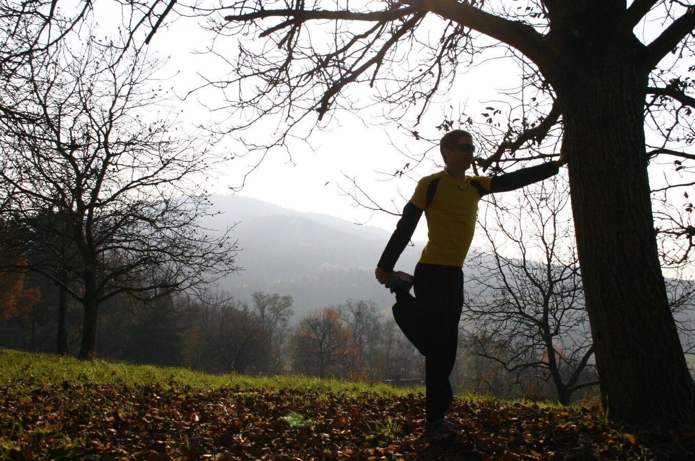
auf's dehnen nicht vergessen! | © Thermen- & Vulkanland | Birgit Weiß
8/8

What the weather will be like Bad Gleichenberg (295m)
Today, 24.10.2026
Heavy rain in the morning, drying up in the afternoon.Morning

5°C
sr.Regenwahrscheinlichkeit
90%
sr.Windstärke
5 km/h
Noon

10°C
sr.Regenwahrscheinlichkeit
60%
sr.Windstärke
5 km/h
Night

5°C
sr.Regenwahrscheinlichkeit
25%
sr.Windstärke
0 km/h
Tomorrow, 25.10.2026
Hazy to start, but occasional sunny spells will be possible during the day.Morning

1°C
sr.Regenwahrscheinlichkeit
0%
sr.Windstärke
0 km/h
Noon

10°C
sr.Regenwahrscheinlichkeit
0%
sr.Windstärke
10 km/h
Night
7°C
sr.Regenwahrscheinlichkeit
35%
sr.Windstärke
5 km/h
Forecast
26.10.2026

3°C
15°C
27.10.2026
3°C
14°C
28.10.2026
3°C
14°C
