


Panoramic tour Söchau (Panoramatour Söchau)
Accessible by public transport- Train (within 15 minutes walking distance from starting point)
- Public bus (within 15 minutes walking distance from starting point)
Characteristics
FitnessThe tour in numbers
Level of difficulty
medium
Route
10,2 km
Time
2:50 h
Uphill
177 hm
Downhill
176 hm
Highest point
383 m
A hiking trail with magnificent views of the herb village of Söchau and to Riegersburg Castle.
This route leads over the Eisteich, the Himmelreich up to the Hofberg, with magnificent views and again via Ederberg - Tautendorf back to Söchau.
Best season
January
February
March
April
May
June
July
August
September
October
November
December
More information
Detailed information on how to get there can be found here.
There are three rest stops on this tour (Family Pitter, winery Tauchmann and Cafe/Bakery Wilfling). The opening hours of the rest stops vary, depending on the host.
- Emergency call fire department: 122
- Emergency call police: 133
- Emergency call rescue: 144
- Euro emergency call: 112
Smart backpack packing makes hiking life easier: always question the equipment - what do I really need? Pay attention to a balanced load distribution. Carry heavy items as close to your body as possible. Put things that are needed often - such as sunglasses, camera or hiking map - in the top lid compartment. Take enough liquids with you and stow them in a side pocket so that they are within easy reach. Remember to bring a small snack or muesli bar as a source of energy. Don't forget cash!
- An emergency kit belongs in every backpack!First aid kit, cell phone with fully charged battery, hiking map or GPS device for orientation, small pocket knife.
- Protection against heat and cold - a clothing according to the "onion system" is always recommended! Cap, sunscreen & sunglasses, thin cap, change of clothes, rain jacket.
- A good hiking boot is a perfect companion and should never be missing! Don't forget blister plasters just in case!
- If necessary, hiking poles are recommended!
Find timetables and travel information directly at: Austrian Federal Railways (ÖBB), Steiermärkische Landesbahnen (STLB), www.busbahnbim.at.
With the BusBahnBim app from Verbundlinie, timetable information has never been easier: all bus, train and streetcar connections in Austria can be queried by entering locations and/or addresses, stops or important points. The app is available as a free app for smartphones (Android, iOS) - on Google Play and in the App Store.
Tourist Office Thermen- & Vulkanland
Gästeinformation Fürstenfeld
Hauptstraße 2a
8280 Fürstenfeld
Tel: +43 3382 55 100-81
fuerstenfeld@thermen-vulkanland.at
www.thermen-vulkanland.at
An information sheet on the panoramic tour with a map is available at the Söchau municipal office, phone: +43 3387 2261.
Gästeinformation Fürstenfeld
Hauptstraße 2a
8280 Fürstenfeld
Tel: +43 3382 55 100-81
fuerstenfeld@thermen-vulkanland.at
www.thermen-vulkanland.at
An information sheet on the panoramic tour with a map is available at the Söchau municipal office, phone: +43 3387 2261.
Map & downloads
Gallery
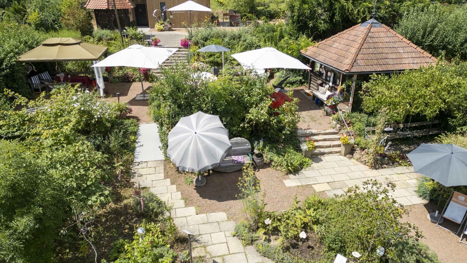
Kräuter-, Rosen- & Hexengarten Söchau | © Thermen- & Vulkanland Steiermark | Christian Thomaser
1/6
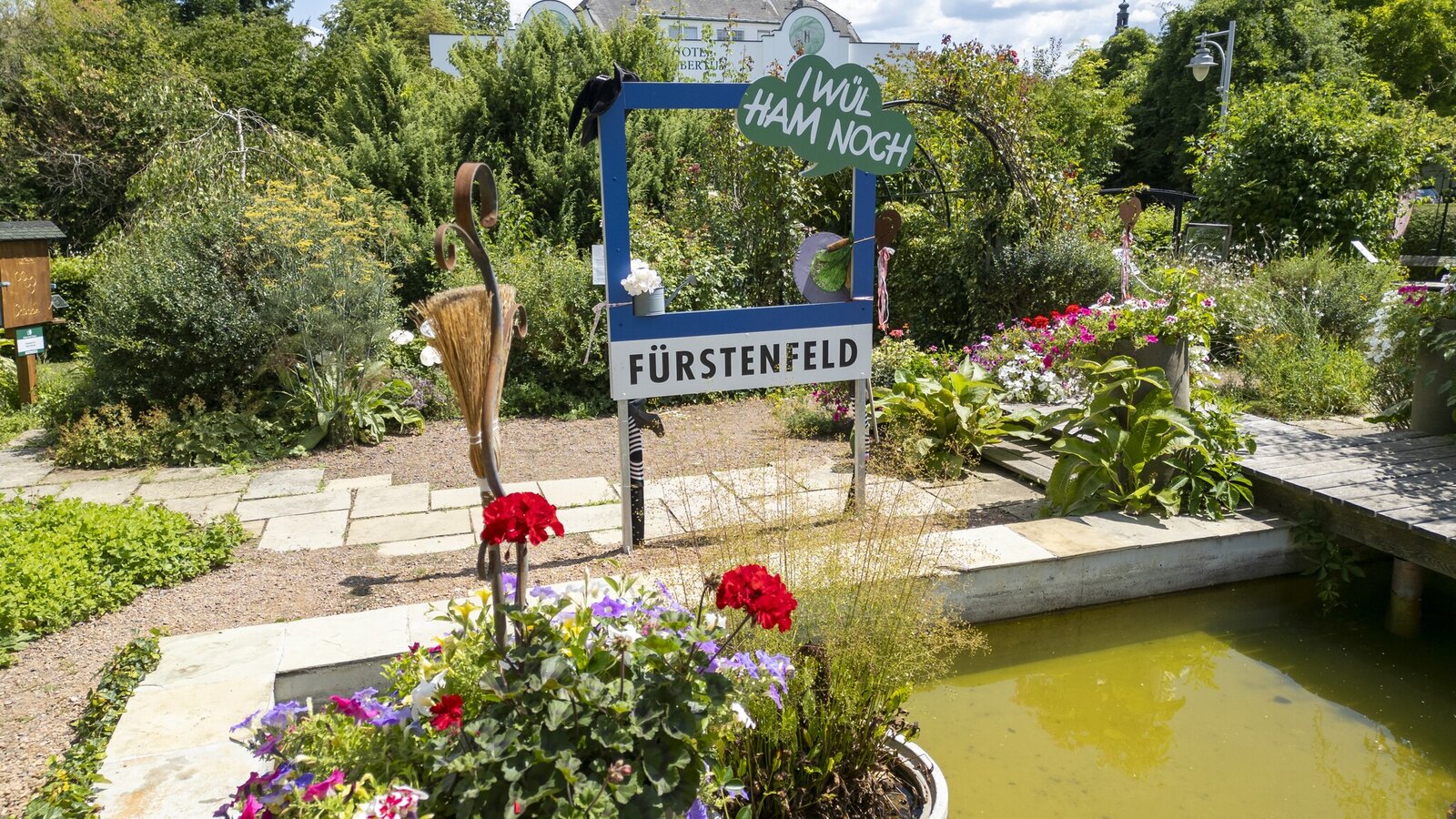
Kräuter-Hexengarten Söchau | © Thermen- & Vulkanland Steiermark | Christian Thomaser
2/6

Söchau | © Bäckerei Wilfing | Bäckerei Wilfing
3/6
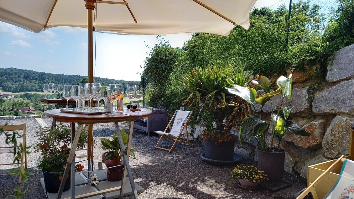
Aschbach | © Thermen- & Vulkanland Steiermark | Sonja Brünner
4/6
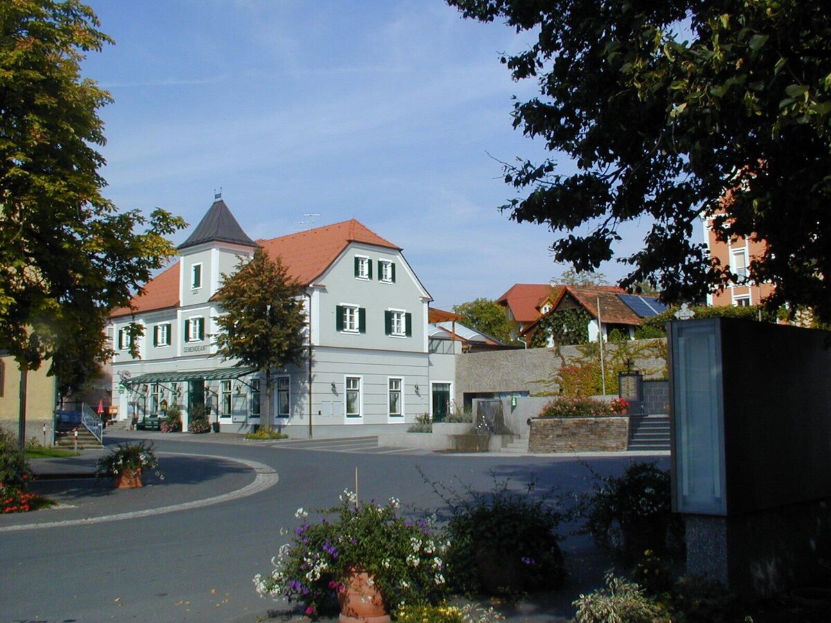
Dorfplatz Söchau | © Gemeinde Fürstenfeld | Gemeinde Fürstenfeld
5/6
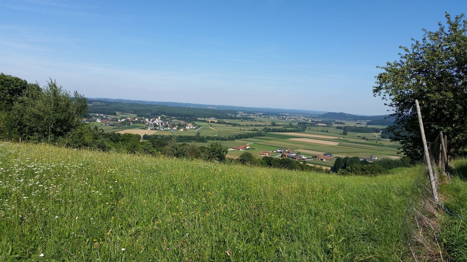
Söchau vom Tautenberg | © Werner Steinberger | Werner Steinberger
6/6

What the weather will be like Fehring (270m)
Today, 09.11.2026
Early clouds will clear to leave the region with a dry and sunny day.Morning

0°C
sr.Regenwahrscheinlichkeit
0%
sr.Windstärke
0 km/h
Noon
7°C
sr.Regenwahrscheinlichkeit
0%
sr.Windstärke
5 km/h
Night

4°C
sr.Regenwahrscheinlichkeit
0%
sr.Windstärke
0 km/h
Tomorrow, 10.11.2026
Rather cloudy in the morning, then sunny spells will develop gradually.Morning

4°C
sr.Regenwahrscheinlichkeit
30%
sr.Windstärke
0 km/h
Noon

8°C
sr.Regenwahrscheinlichkeit
55%
sr.Windstärke
0 km/h
Night
7°C
sr.Regenwahrscheinlichkeit
10%
sr.Windstärke
5 km/h
Forecast
11.11.2026
5°C
9°C
12.11.2026
5°C
12°C
13.11.2026

4°C
11°C
