


Chapels circuit (Kapellenrundweg) Glojach
Characteristics
SkillThe tour in numbers
Level of difficulty
easy
Route
4,4 km
Time
1:15 h
Uphill
108 hm
Downhill
108 hm
Highest point
468 m
The hiking trail leads you directly to the chapel in Glojach, where you can enjoy a wonderful view over the hilly landscape of southeastern Styria.
The hilltop on which the chapel stands is a very special place. If you take the time, you can feel how heaven and earth connect here and how this concentrated power radiates into the surroundings. There is also an exercise described on a board for those who are interested. The builders of the chapel probably also knew about the special nature of this place. They built a chapel here in 1831 instead of a small bell tower in order to protect the area from "thunderstorms" and diseases. The chapel received its present form in 1872. The copper portal and the large fresco were created in 1961 by Franz Weiss, who also provided the designs for the colorful stained glass windows from Schlierbach. There is a special altarpiece in the village chapel. The artist Franz Weiss immortalized citizens of the village in the painting. The red-white-red marking shows you the way.
Best season
January
February
March
April
May
June
July
August
September
October
November
December
More information
You can arrive by car via the A9 Phyrn freeway. Freeway exit: Leibnitz
Parking available
Detailed information on how to get here can be found hier .
Parking available
After about 100 m we come to the fork of a small path that leads us over a few steps, through a courtyard, across a meadow, past a small vineyard on the left and straight on to the chapel on the hilltop. This place with its fantastic view is in any case already a first highlight of this hike! If you take the time, you can feel how heaven and earth connect here and how this concentrated power radiates into the surroundings. There is also an exercise described on a board for those who are interested. The builders of the chapel probably also knew about the special nature of this place. They built a chapel here in 1831 instead of a small bell tower in order to protect the area from "thunderstorms" and diseases. The copper portal and the large fresco were created in 1961 by Franz Weiß, who also provided the designs for the colorful stained glass windows from Schlierbach.The further hike leads past the chapel again downhill, at the junction of the "G3" we keep to the right and go down across the meadow to the next house. On its driveway we come down to the road, which we follow to the right, and then hike gently downhill with magnificent views of the landscape on the ridge of the hill. At the junction with the cross road we go back at an acute angle and soon the picturesquely situated chapel appears again in front of us, towards which we are now heading straight. After a few bends we return to the starting point.
Ambulance: 144
European emergency call: 112
Tips when reporting an emergency – Answer these six WH questions: What happened? How many people are injured? Where did the accident happen (are there GPS coordinates)? Who is reporting the incident (callback number)? When did the accident happen? What is the weather like at the site of the incident?
Proper backpack packing makes many things easier: Pack heavy things first. The water bottle should always be within reach in a side pocket. All the things that are often needed, such as sunglasses, camera or hiking map, belong on top. An emergency kit, including blister plasters, belongs in every rucksack and it is always advisable to dress in layers.
Enjoy the view of the southeast Styrian hill country, how heaven and earth connect.
Detailed information about arriving by ÖBB (Austrian Federal Railways) can be found at www.oebb.at or on the Verbundlinie Steiermark website www.busbahnbim.at
With Verbundlinie’s BusBahnBim route planner app, planning your journey has never been easier: simply enter towns and/or addresses, stop names or points of interest to check all bus, train and tram connections in Austria. The app is available free of charge for smartphones – on Google Play and in the App Store
Tourismusverband Thermen- & Vulkanland
Gästeinfo Bad Gleichenberg
Kaiser-Franz-Josef-Str. 1/top 4
8344 Bad Gleichenberg
Tel: +43 3382 55 100-44
badgleichenberg@thermen-vulkanland.at
www.thermen-vulkanland.at
Volcanic Land Hiking Map "Man & Nature" 1:500.000 Styrian Volcanic Country Tel. +43 (0)3152/8575-710 www.spuren.at
freytag & berndt WK 412 Southeast Styrian Hills, Volcanic Country, Bad Gleichenberg, Bad Radkersburg
Kompass hiking guide "Styrian Volcano Country - On the trail of the volcanoes". Descriptions, route maps and elevation profiles ISBN 978-3-85026-096-1 www.kompass.atMap & downloads
Gallery
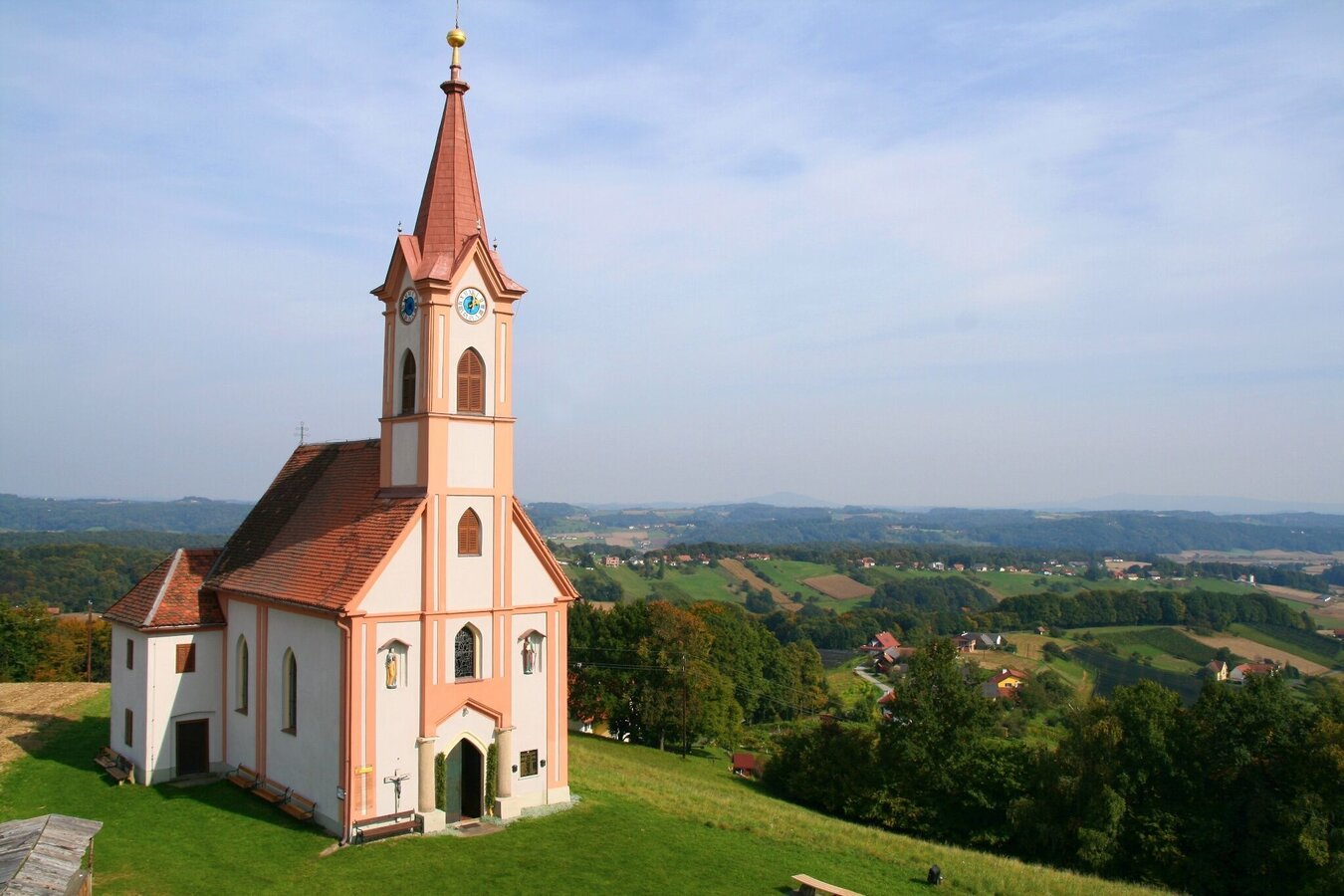
Kapelle Glojach (c) Pauritsch_Tourismus Saßtal | © Thermen- & Vulkanland | Pauritsch_Tourismus Saßtal
1/4
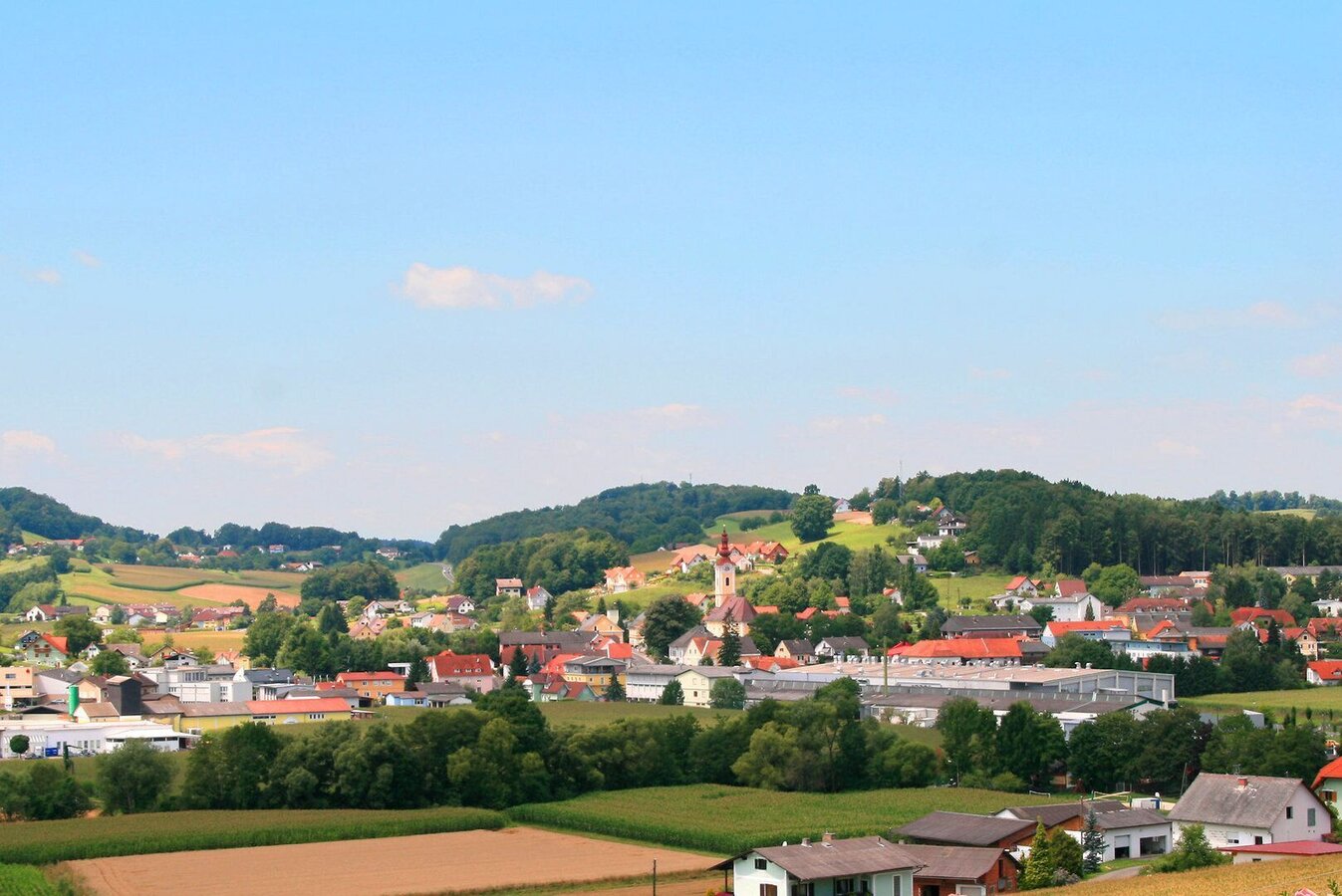
Ortsansicht St. Stefan im Rosental | © Marktgemeinde St. Stefan im Rosental | Marktgemeinde St. Stefan im Rosental
2/4
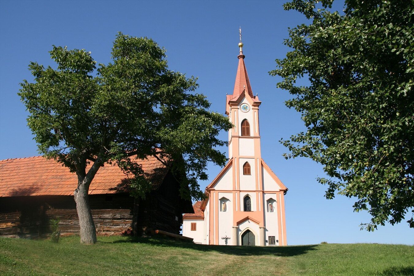
Kapelle Glojach | © Marktgemeinde St. Stefan im Rosental | Marktgemeinde St. Stefan im Rosental
3/4
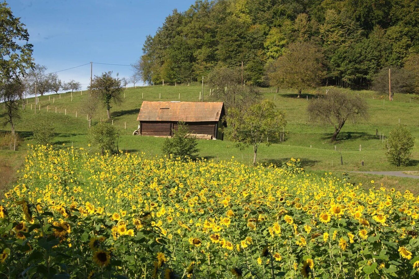
Sonnenblumen Saßtal | © Marktgemeinde Jagerberg | Marktgemeinde Jagerberg
4/4

What the weather will be like St. Stefan im Rosental (319m)
Today, 23.10.2026
The day starts sunny, but will be partly cloudy in the afternoon.Morning

3°C
sr.Regenwahrscheinlichkeit
0%
sr.Windstärke
0 km/h
Noon

12°C
sr.Regenwahrscheinlichkeit
0%
sr.Windstärke
10 km/h
Night

8°C
sr.Regenwahrscheinlichkeit
0%
sr.Windstärke
5 km/h
Tomorrow, 24.10.2026
Heavy rain in the morning, drying up in the afternoon.Morning

6°C
sr.Regenwahrscheinlichkeit
90%
sr.Windstärke
5 km/h
Noon

9°C
sr.Regenwahrscheinlichkeit
75%
sr.Windstärke
0 km/h
Night
6°C
sr.Regenwahrscheinlichkeit
40%
sr.Windstärke
0 km/h
Forecast
25.10.2026
2°C
11°C
26.10.2026
4°C
15°C
27.10.2026
4°C
14°C
