


Pleasure tour - panoramic trail (Genusstour - Panoramaweg) Fehring
Accessible by public transport- Public bus (within 15 minutes walking distance from starting point)
Characteristics
SkillThe tour in numbers
Level of difficulty
medium
Route
13,8 km
Time
4:00 h
Uphill
286 hm
Downhill
278 hm
Highest point
421 m
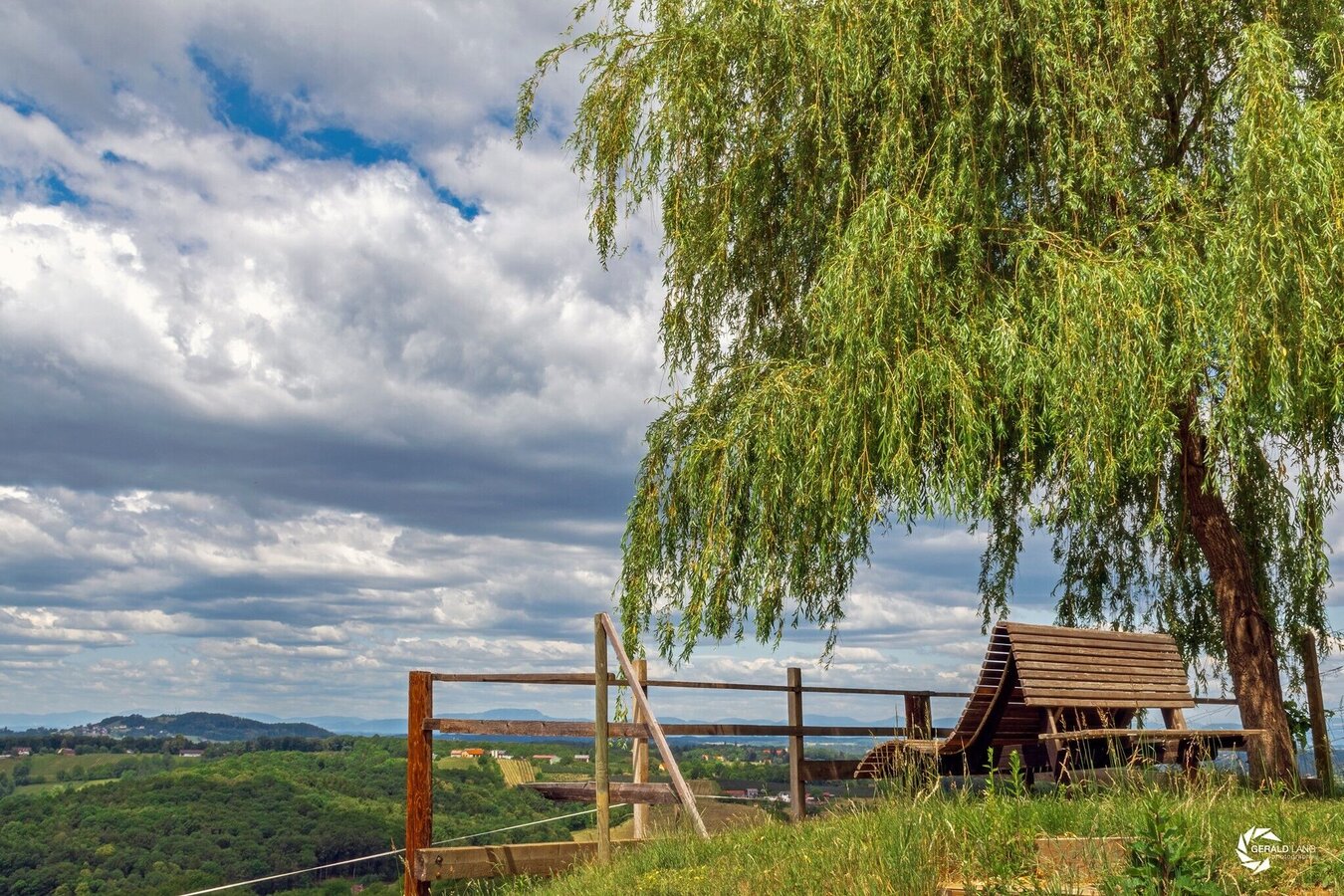
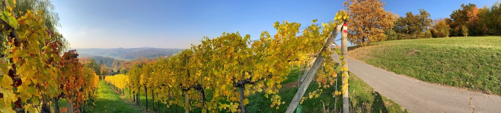
Circular trail with power and viewing points
Starting point: Fehring’s main square. From here, follow the yellow signs along the “Handspur” path via Sinzingergasse to the Kapellenwald, past the forest chapel to the Vulkanarena with its geomantic power spot. Passing an abandoned clay pit, the trail leads to the Kuruzzenkogel; behind the Kuruzzenschenke, you’ll find the remains of a defensive wall. Following the Way of the Cross through the forest to the Kogl Chapel and past the Alte Presshaus, the trail leads into the romantic Kellergassl with an impressive view from the Heißberg. Continuing toward Kapfenstein—where the nearby Weinhof Gwaltl invites you for a wine tasting—the return route leads back to Fehring via Beingraben.
Best season
January
February
March
April
May
June
July
August
September
October
November
December
More information
You can find all information on how to get to the thermal spa and volcano region of Styria here.
Route: Fehring - Sinzingergasse - Kuruzzenkogel - Heißberg - Kreuzgraben - Beistein - Kalchgruben - Fehring
1. Fehring (270 m) – Town – 0.0 km
2. Burgfeld (390 m) – Settlement – 2.7 km
3. Kuruzzenschenke (388 m) – Restaurant – 3.5 km
4. Kuruzzenkogel (425 m) – Summit – 3.6 km
5. Kuruzzenkogel Chapel (421 m) – Place of worship – 3.7 km
6. Heißberg (433 m) – Summit – 4.1 km
7. Fink Chapel (389 m) – Place of worship – 5.6 km
8. Hartlberg (385 m) – Field/terrain – 6.3 km
9. Breitfellner Chapel (364 m) – Place of worship – 6.6 km
10. Beingraben (363 m) – Field/open terrain – 6.6 km
11. Rohrriegel (368 m) – Field/open terrain – 7.3 km
12. Beistein (336 m) – Field/Open terrain – 9.0 km
13. Petersdorf (272 m) – Village – 9.9 km
14. Kalchgruben (329 m) – Settlement – 11.9 km
15. Fehring (270 m) – Town – 13.7 km
Timetables and travel information can be found directly at: Austrian Federal Railways (ÖBB), Styrian State Railways (STLB), www.busbahnbim.at
High-speed railroad 3 from Graz to Fehring every hour. From Wiener Neustadt direct connections with the Südbahn via Fürstenfeld to Fehring.
High-speed railroad 3 from Graz to Fehring every hour. From Wiener Neustadt direct connections with the Südbahn via Fürstenfeld to Fehring.
Parking facilities available in Fehring.
Information and hiking map available at:
Stadtgemeinde Fehring
Grazer Straße 1
8350 Fehring
Phone: +43 3155 2303
gde@fehring.gv.at
www.fehring.at
Stadtgemeinde Fehring
Grazer Straße 1
8350 Fehring
Phone: +43 3155 2303
gde@fehring.gv.at
www.fehring.at
Map & downloads
Gallery
© Stadtgemeinde Fehring_Panoramaweg Heißberg.jpg | © Stadtgemeinde Fehring | Stadtgemeinde Fehring
1/3

© Sebastian Friedl_Panoramaweg_WEB_sRGB_72dpi-32.jpg | © Stadtgemeinde Fehring | Sebastian Friedl
2/3
© Stadtgemeinde Fehring_Panoramaweg.jpg | © Stadtgemeinde Fehring | Stadtgemeinde Fehring
3/3
What the weather will be like Fehring (270m)
Today, 28.07.2026
Dry and sunny throughout the day with hardly any clouds.Morning

20°C
sr.Regenwahrscheinlichkeit
5%
sr.Windstärke
0 km/h
Noon
28°C
sr.Regenwahrscheinlichkeit
10%
sr.Windstärke
10 km/h
Night
26°C
sr.Regenwahrscheinlichkeit
0%
sr.Windstärke
5 km/h
Tomorrow, 29.07.2026
Dry and sunny throughout the day with hardly any clouds.Morning
21°C
sr.Regenwahrscheinlichkeit
0%
sr.Windstärke
0 km/h
Noon
31°C
sr.Regenwahrscheinlichkeit
0%
sr.Windstärke
10 km/h
Night
28°C
sr.Regenwahrscheinlichkeit
0%
sr.Windstärke
5 km/h
Forecast
30.07.2026
18°C
35°C
31.07.2026
18°C
36°C
01.08.2026
19°C
35°C
