


Südalpenweg Trail 03 - Grenzpanoramaweg
Accessible by public transport- Public bus (within 15 minutes walking distance from starting point)
Characteristics
SkillThe tour in numbers
Level of difficulty
medium
Route
122,7 km
Time
40:00 h
Uphill
3168 hm
Downhill
4009 hm
Highest point
1474 m
What a liberating feeling it was when the Iron Curtain fell. When the rigid border that separated our homeland from that of our neighbours gave way to friendship and shared experiences. The Iron Curtain is now history, but the feeling of freedom along the mountain ridges, with views stretching across the landscapes on both sides, has remained – creating an unforgettable hiking, culinary, and cultural experience. We look forward to the pilgrimage church of Sveti Duh, to cosy wine taverns, countless seemingly endless panoramas, and, at the end of the tour, to the thermal waters of Parktherme Bad Radkersburg.
Our tour follows the Austrian–Slovenian border and, with the following six suggested daily stages, forms part of the long-distance hiking trail Südalpenweg 03. The entire Südalpenweg 03 stretches from Bad Radkersburg, at the tri-border region of Austria, Slovenia, and Hungary, to Sillian on the Italian border. In this case, however, we hike in the opposite direction – from the hiking village of Soboth to Bad Radkersburg.
On shorter sections, such as near Leutschach, we leave Trail 03 for a few kilometres in order to experience particularly beautiful hiking stretches, including the scenic Heiligengeistklamm gorge trail. Leutschach also offers numerous accommodation options for a restful night’s stay. Likewise, on the section from Glanz an der Weinstraße via Ratsch an der Weinstraße and Berghausen to Spielfeld, we remain on the Austrian side, where countless places to stop for refreshments and overnight stays await.
We begin in the hiking village of Soboth and are first guided across wide, gentle alpine pastures before descending into the vineyards of Southern Styria. Along the way, we pass through magnificent floodplain landscapes. We can admire and visit the famous pilgrimage church of Sveti Duh on the Slovenian side. Its eventful history dates back to the 17th century, and today it has been beautifully restored.
There is also the opportunity to stray from the “right path” and incorporate individual stages – such as the one to Eibiswald, home to Austria’s Long-Distance Hiking Museum and a stage destination on the Hiking Trail “From Glacier to Wine” – into the tour, or to explore them separately as circular hikes. Another highlight worth seeing is the historic Murecker Schiffsmühle, which is still in operation today.
And finally, at the end of our journey, the charming 700-year-old border town of Bad Radkersburg awaits with its narrow alleyways, cafés, and of course the relaxing thermal waters of Parktherme Bad Radkersburg.
On shorter sections, such as near Leutschach, we leave Trail 03 for a few kilometres in order to experience particularly beautiful hiking stretches, including the scenic Heiligengeistklamm gorge trail. Leutschach also offers numerous accommodation options for a restful night’s stay. Likewise, on the section from Glanz an der Weinstraße via Ratsch an der Weinstraße and Berghausen to Spielfeld, we remain on the Austrian side, where countless places to stop for refreshments and overnight stays await.
We begin in the hiking village of Soboth and are first guided across wide, gentle alpine pastures before descending into the vineyards of Southern Styria. Along the way, we pass through magnificent floodplain landscapes. We can admire and visit the famous pilgrimage church of Sveti Duh on the Slovenian side. Its eventful history dates back to the 17th century, and today it has been beautifully restored.
There is also the opportunity to stray from the “right path” and incorporate individual stages – such as the one to Eibiswald, home to Austria’s Long-Distance Hiking Museum and a stage destination on the Hiking Trail “From Glacier to Wine” – into the tour, or to explore them separately as circular hikes. Another highlight worth seeing is the historic Murecker Schiffsmühle, which is still in operation today.
And finally, at the end of our journey, the charming 700-year-old border town of Bad Radkersburg awaits with its narrow alleyways, cafés, and of course the relaxing thermal waters of Parktherme Bad Radkersburg.
Best season
January
February
March
April
May
June
July
August
September
October
November
December
More information
Detailed information on how to get there can be found here.
The Südalpenweg 03 / Grenzpanoramaweg offers countless possibilities and variations. It can be experienced as one grand six-stage tour, but each individual stage is also rewarding in its own right. The following overview provides a general impression of the route, which for the most part stays on Austrian soil. One important recommendation: do not forget proper hiking maps.
Stage 1
Soboth (1,065 m) – Hühnerkogel (1,522 m) – Gasthof Strutz (846 m)
We begin in the hiking village of Soboth near the Carinthian border. We admire the reservoir with its impressive 22 million cubic metres of water, cross the Feistritz stream, and above all enjoy magnificent views towards the Kamnik–Savinja Alps and Petzen to our left, as well as the Karawanks stretching as far as the Julian Alps and Carnic Alps. The highest point of today’s stage is the Hühnerkogel before we descend towards our destination, Gasthof Strutz.
Distance: 15 km
Stage 2
Gasthof Strutz (846 m) – St. Lorenzen (947 m) – Radlpass (662 m) – Kapunerhütte (1,052 m) – Gasthof Wutschnigg (900 m)
Today’s stage takes us through extensive forests. The Zweibach marks the lowest point of the route. The “Fairy Tale Meadow” invites us to pause for a short rest before the steep ascent towards St. Lorenzen. Along the way, traces of former border checkpoints hint at the region’s past. Passing inns and churches, we continue towards Radlpass. From there, it is about another three hours to St. Pongratzen and the former Gasthof Legat vulgo Wutschnig.
Tip: From Radlpass, an alternative circular route towards Eibiswald is possible. The trail rejoins the Border Panorama Trail near St. Pongratzen. This section is also popular as an individual day hike starting in Eibiswald.
Distance: 17 km
Stage 3
Gasthof Wutschnig (900 m) – Remschniggalm (757 m) – Leutschach (352 m)
Today’s route leads us towards Leutschach. More ambitious hikers may prefer to stay on the original panorama trail, but we turn off near Pronintsch and spend the night in the beautifully situated wine village of Leutschach.
Tip: The circular hike around Leutschach via Pronintsch and the more demanding section of the Border Panorama Trail is highly recommended. It passes Sveti Duh, the pilgrimage church, before returning through the Heiligengeistklamm gorge and the Spitzmühle back to Leutschach. Another recommended variation begins at the Spitzmühle in the gorge and leads via the Zollhütte back onto the Border Panorama Trail before returning through the Heiligengeistklamm in a shorter loop.
Distance: 18 km
Stage 4
Leutschach (352 m) – Sveti Duh (903 m) – Krebskogel (516 m) – Sulztal an der Weinstraße (505 m)
From Leutschach we hike through the already mentioned Heiligengeistklamm, an attraction in itself, before rejoining the Border Panorama Trail. Here, a detour to Sveti Duh is well worth considering, if only for the spectacular view.
The landscapes of Southern Steiermark begin to unfold around us. We continue along the Border Panorama Trail as far as the Kos border crossing before turning off into the Sulm Valley. Accompanied by beautiful vineyard views and traditional Klapotetz windmills, we make our way towards Sulztal an der Weinstraße, where we spend the night near the historic Dreisiebner Stammhaus.
Distance: 254 km
Stage 5
Sulztal an der Weinstraße (505 m) – Spielfeld (305 m) – Mureck (237 m)
Leaving the beautiful Sulztal behind, we continue towards Mureck. The route initially winds through vineyards in the direction of Spielfeld. Those wishing to shorten the route may continue from Spielfeld by train, although they would miss the beautiful floodplain forests, the Natura 2000 protected landscapes, and ultimately the relaxation awaiting in Parktherme Bad Radkersburg.
Much of today’s route follows the Mur, the largest river in Steiermark, which here and on the following stage forms the border between Austria and Slovenia. Today’s destination is the charming town of Mureck.
Distance: 25 km
Stage 6
Mureck (237 m) – Dietzen (212 m) – Bad Radkersburg (208 m)
Before setting off, we should visit the historic Murecker Schiffsmühle directly on the Mur river. Today’s trail leads past Röcksee and through the Mur floodplains, partly on beautiful nature paths and partly on asphalt roads, towards Bad Radkersburg – the renowned thermal spa and cycling town with its wonderfully preserved historic centre. Once in Bad Radkersburg, visitors are welcomed not only by the thermal spa and numerous hotels and guesthouses, but also by wine taverns and vinotheques offering the remarkable diversity of Styrian and Slovenian wines and introducing guests to the culinary delights of the region.
Distance: 22 km
Stage 1
Soboth (1,065 m) – Hühnerkogel (1,522 m) – Gasthof Strutz (846 m)
We begin in the hiking village of Soboth near the Carinthian border. We admire the reservoir with its impressive 22 million cubic metres of water, cross the Feistritz stream, and above all enjoy magnificent views towards the Kamnik–Savinja Alps and Petzen to our left, as well as the Karawanks stretching as far as the Julian Alps and Carnic Alps. The highest point of today’s stage is the Hühnerkogel before we descend towards our destination, Gasthof Strutz.
Distance: 15 km
Stage 2
Gasthof Strutz (846 m) – St. Lorenzen (947 m) – Radlpass (662 m) – Kapunerhütte (1,052 m) – Gasthof Wutschnigg (900 m)
Today’s stage takes us through extensive forests. The Zweibach marks the lowest point of the route. The “Fairy Tale Meadow” invites us to pause for a short rest before the steep ascent towards St. Lorenzen. Along the way, traces of former border checkpoints hint at the region’s past. Passing inns and churches, we continue towards Radlpass. From there, it is about another three hours to St. Pongratzen and the former Gasthof Legat vulgo Wutschnig.
Tip: From Radlpass, an alternative circular route towards Eibiswald is possible. The trail rejoins the Border Panorama Trail near St. Pongratzen. This section is also popular as an individual day hike starting in Eibiswald.
Distance: 17 km
Stage 3
Gasthof Wutschnig (900 m) – Remschniggalm (757 m) – Leutschach (352 m)
Today’s route leads us towards Leutschach. More ambitious hikers may prefer to stay on the original panorama trail, but we turn off near Pronintsch and spend the night in the beautifully situated wine village of Leutschach.
Tip: The circular hike around Leutschach via Pronintsch and the more demanding section of the Border Panorama Trail is highly recommended. It passes Sveti Duh, the pilgrimage church, before returning through the Heiligengeistklamm gorge and the Spitzmühle back to Leutschach. Another recommended variation begins at the Spitzmühle in the gorge and leads via the Zollhütte back onto the Border Panorama Trail before returning through the Heiligengeistklamm in a shorter loop.
Distance: 18 km
Stage 4
Leutschach (352 m) – Sveti Duh (903 m) – Krebskogel (516 m) – Sulztal an der Weinstraße (505 m)
From Leutschach we hike through the already mentioned Heiligengeistklamm, an attraction in itself, before rejoining the Border Panorama Trail. Here, a detour to Sveti Duh is well worth considering, if only for the spectacular view.
The landscapes of Southern Steiermark begin to unfold around us. We continue along the Border Panorama Trail as far as the Kos border crossing before turning off into the Sulm Valley. Accompanied by beautiful vineyard views and traditional Klapotetz windmills, we make our way towards Sulztal an der Weinstraße, where we spend the night near the historic Dreisiebner Stammhaus.
Distance: 254 km
Stage 5
Sulztal an der Weinstraße (505 m) – Spielfeld (305 m) – Mureck (237 m)
Leaving the beautiful Sulztal behind, we continue towards Mureck. The route initially winds through vineyards in the direction of Spielfeld. Those wishing to shorten the route may continue from Spielfeld by train, although they would miss the beautiful floodplain forests, the Natura 2000 protected landscapes, and ultimately the relaxation awaiting in Parktherme Bad Radkersburg.
Much of today’s route follows the Mur, the largest river in Steiermark, which here and on the following stage forms the border between Austria and Slovenia. Today’s destination is the charming town of Mureck.
Distance: 25 km
Stage 6
Mureck (237 m) – Dietzen (212 m) – Bad Radkersburg (208 m)
Before setting off, we should visit the historic Murecker Schiffsmühle directly on the Mur river. Today’s trail leads past Röcksee and through the Mur floodplains, partly on beautiful nature paths and partly on asphalt roads, towards Bad Radkersburg – the renowned thermal spa and cycling town with its wonderfully preserved historic centre. Once in Bad Radkersburg, visitors are welcomed not only by the thermal spa and numerous hotels and guesthouses, but also by wine taverns and vinotheques offering the remarkable diversity of Styrian and Slovenian wines and introducing guests to the culinary delights of the region.
Distance: 22 km
Accessible by
train and bus: detailed information about arriving by ÖBB (Austrian Federal
Railways) can be found at www.oebb.at or
on the Verbundlinie Steiermark website www.busbahnbim.at
With
Verbundlinie’s BusBahnBim route planner app, planning your journey
has never been easier: simply enter towns and/or addresses, stop names or
points of interest to check all bus, train and tram connections in Austria. The
app is available free of charge for smartphones – on Google Play and in the App
Store
Parking facilities are available at the Jakobihaus in the hiking village of Soboth.
Map & downloads
Gallery
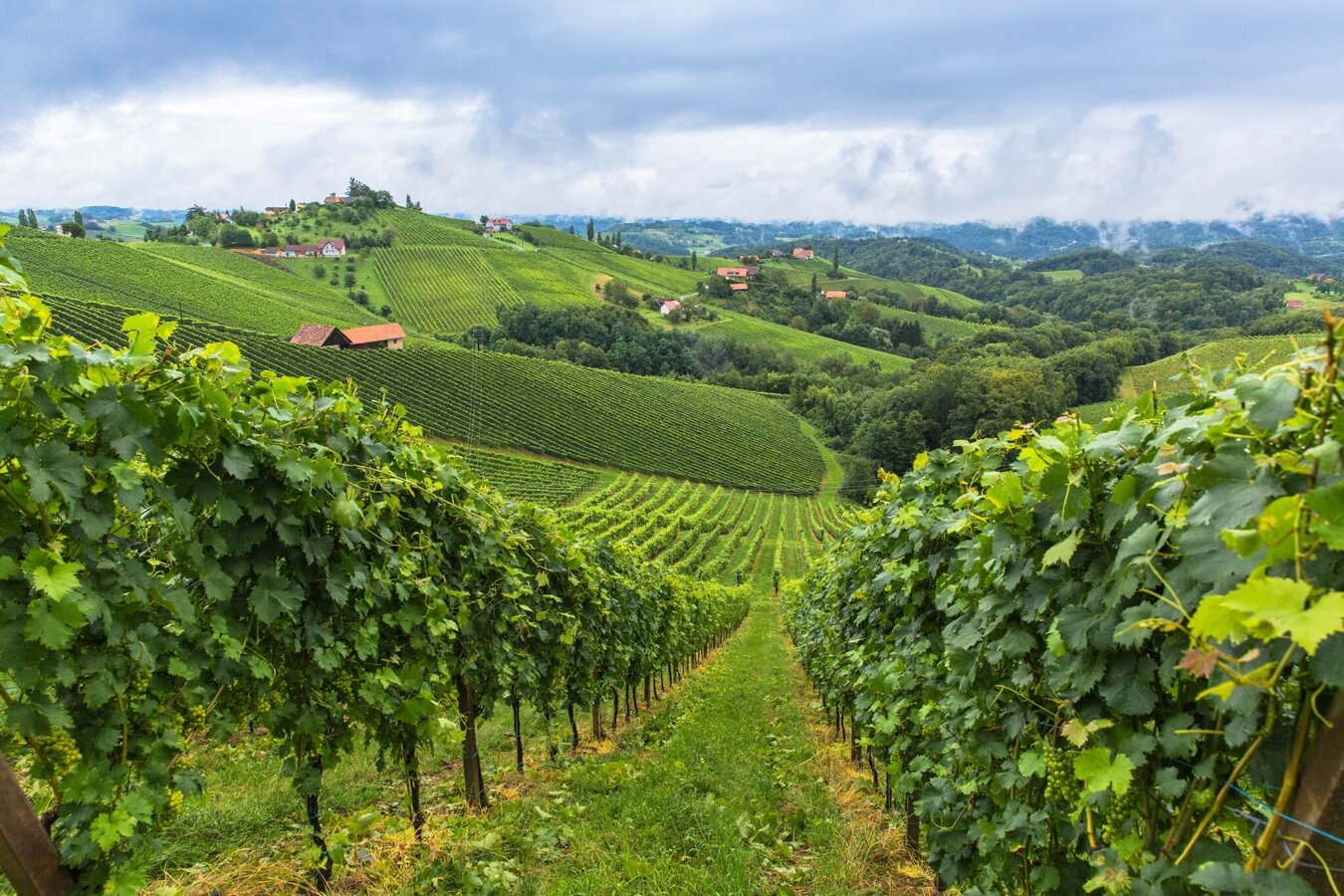
sommer-in-der-suedsteiermark (1).jpg | © Steiermark Tourismus/Harry Schiffer | Harry Schiffer
1/9
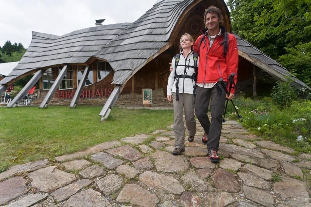
Das Jakobihaus in Soboth | © Südsteiermark
2/9
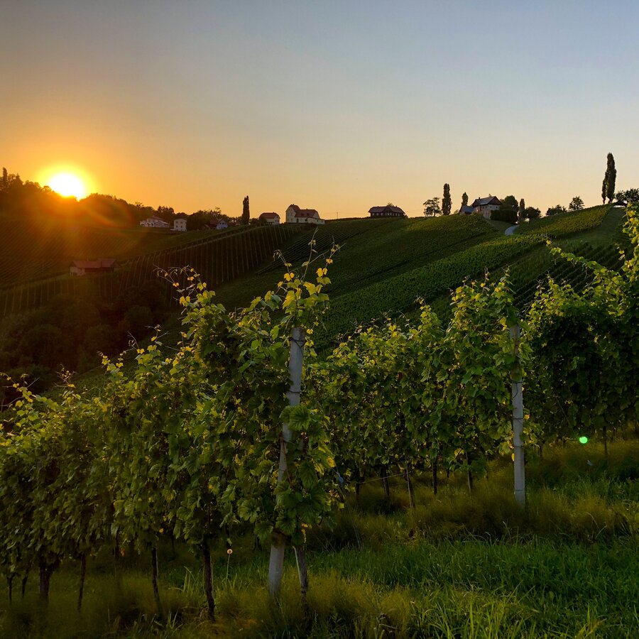
Abendstimmung im Naturpark Südsteiermark | © Steiermark Tourismus | Martina Traisch
3/9
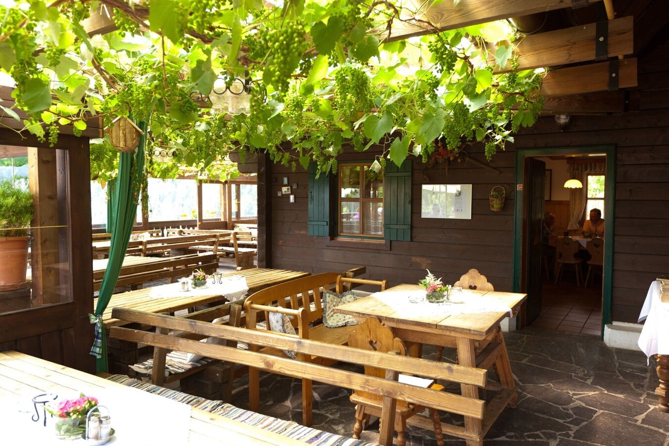
einkehr-in-einer-buschenschnak (1).jpg | © Steiermark Tourismus/Harry Schiffer | Harry Schiffer
4/9
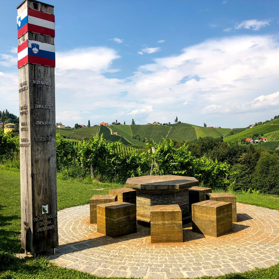
Grenztisch im Naturpark Südsteiermark | © Steiermark Tourismus | Martina Traisch
5/9
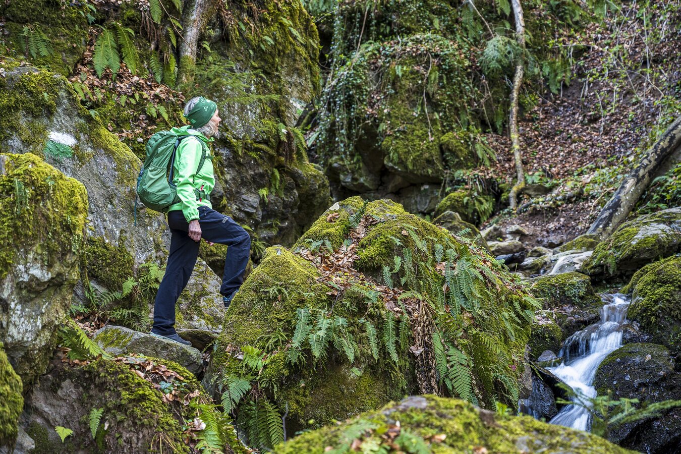
heiligengeistklamm_steiermark_tourismus_-_pixelmaker.at.jpg | © Steiermark Tourismus | pixelmaker.at
6/9
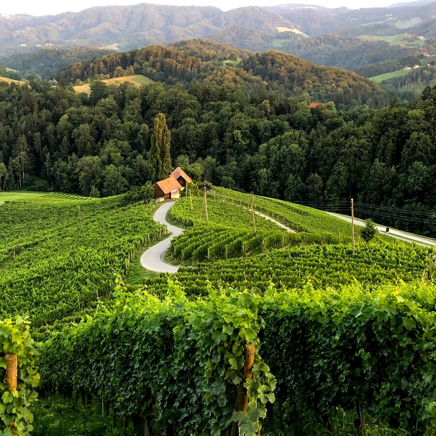
Herzerlstraße | © Steiermark Tourismus | Martina Traisch
7/9
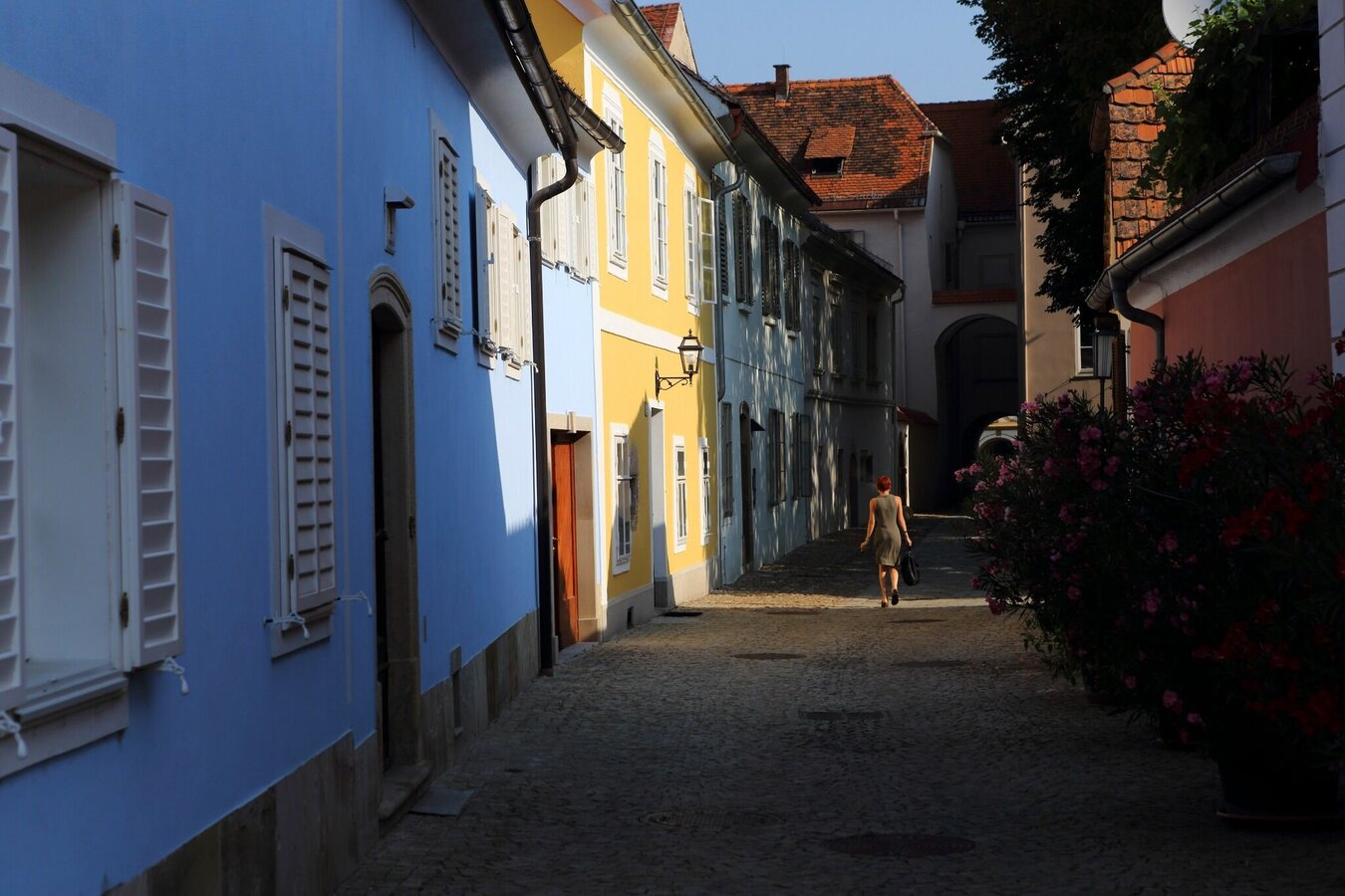
die-historische-altstadt-von-bad-radkersburg.jpg | © Steiermark Tourismus/Harry Schiffer | Harry Schiffer
8/9
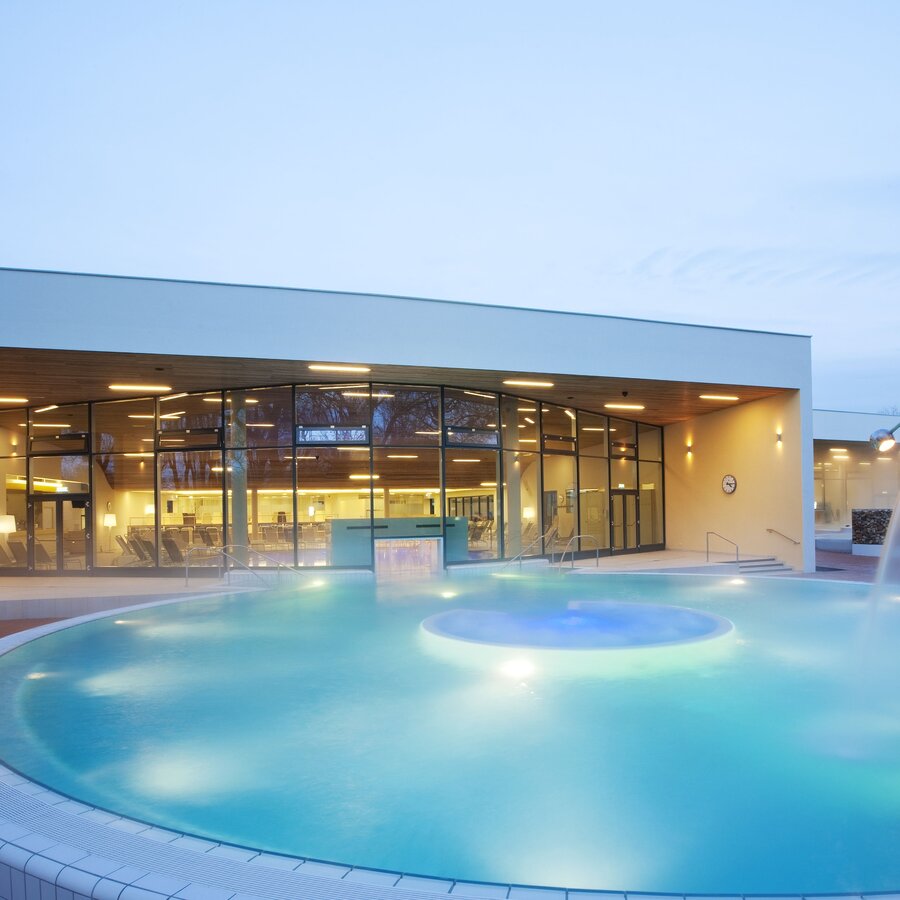
Parktherme Bad Radkersburg | © Parktherme Bad Radkersburg | Harald Eisenberger
9/9
What the weather will be like Mureck (237m)
Today, 11.07.2026
Dry and bright with plenty of sunshine, clouds will be rare.Morning

22°C
sr.Regenwahrscheinlichkeit
0%
sr.Windstärke
5 km/h
Noon
29°C
sr.Regenwahrscheinlichkeit
5%
sr.Windstärke
10 km/h
Night

25°C
sr.Regenwahrscheinlichkeit
45%
sr.Windstärke
0 km/h
Tomorrow, 12.07.2026
Dry and bright with plenty of sunshine, clouds will be rare.Morning
20°C
sr.Regenwahrscheinlichkeit
5%
sr.Windstärke
5 km/h
Noon
28°C
sr.Regenwahrscheinlichkeit
10%
sr.Windstärke
10 km/h
Night
26°C
sr.Regenwahrscheinlichkeit
5%
sr.Windstärke
5 km/h
Forecast
13.07.2026
15°C
32°C
14.07.2026
17°C
31°C
15.07.2026
18°C
30°C
