


Open
Theme trail Augstbach
Characteristics
SkillThe tour in numbers
Level of difficulty
medium
Route
4,9 km
Time
1:25 h
Uphill
132 hm
Downhill
132 hm
Highest point
821 m
The varied "Augstbach Theme Trail" is available for hiking or biking. Young and old are cordially invited to discover the unique theme and adventure trail around the topic of forests and protection against natural hazards!
This family-friendly themed trail leads along the Augstbach stream in Altaussee through forests and meadows. 14 interactive stations impart knowledge about protective forests, the water balance and natural hazards. The easy-to-walk circular trail is ideal for children, families and nature-loving hikers. There is a connection to the Via Salis and Via Artis.
Best season
January
February
March
April
May
June
July
August
September
October
November
December
More information
The best way to get to Altaussee is to plan with google.at/maps.
Parking is possible in the large parking lot in front of the Kur- und Amtshaus.
Parking is possible in the large parking lot in front of the Kur- und Amtshaus.
Please note the fee obligation!
The Augstbach themed trail in Altaussee offers an exciting combination of nature experience, environmental protection and family-friendly hiking. The route runs parallel to the stream of the same name for around four kilometers and leads through an impressive landscape with torrent and avalanche barriers, varied habitats and lovingly designed stations.
Whether on foot or by bike: 14 interactive stations along the trail invite you to experience the topics of protective forests, climate change and water balance in a fun and informative way. Hiking in Ausseerland becomes a real learning experience - for young and old!
The starting point is in the center of Altaussee, right by the parking lot. From here, the trail first leads to the crossroads at Café Maislinger. From there, the route continues to the right along the Augstbach stream towards the Loser ski arena. After about 500 meters, the Augstbach theme trail turns right into the forest. Follow the well-maintained gravel path past the Scheiben torrent retention basin to the junction with the Via Salis and Via Artis hiking trails - an ideal starting point for further hikes in Ausseerland.
Experience stations - learning with all senses
The interactive stations offer exciting insights into the functions of the forest and the interaction between nature and humans:
- “Amphibian Spa” explains the importance of small forest ponds as a habitat for endangered species such as the Alpine crested newt.
- “Alien plants” focuses on neophytes such as balsam, which displace native plants - and how the municipality is taking action against them.
- “Forest and water” illustrates the role of the forest in flood protection.
- “Rockfall game” makes dangers such as rockfall and avalanches tangible - particularly exciting for children.
- “Wood guessing game” and information on dead wood raise awareness of the value of living and dead tree structures.
- “Water as a source of life” shows how drinking water is filtered through the forest floor.
Sustainable hiking experience
The trail is easy to walk on, mostly flat and ideal for family hikes in Ausseerland. Especially in summer, the shady mixed forest along the stream offers a refreshing environment. Some stations are also ideal for forest bathing, making the route a peaceful alternative to higher mountain hikes.
At the end point, there is the option of continuing the day on the Via Salis or the Via Artis - two other cultural hiking routes in Ausseerland.
Emergency call mountain rescue: 140
Emergency reporting tip - provide answers to the six W questions:
- What happened?
- How many injured?
- Where did the accident happen? (possibly GPS coordinates)
- Who is reporting? (callback number)
- When did the accident happen?
- Weather at the accident site?
- Pack heavy things first.
- The water bottle should always be within easy reach in a side pocket.
- All things that are often needed, such as sunglasses, camera or hiking map, belong on top.
- An emergency kit including blister plaster belongs in every backpack and a clothing according to the "onion system" is always recommended!
The free Ausseerland hiking map is available free of charge via the brochure order form on the tourism association's website. Detailed maps are also available from the hiking map store.
Tourist office Ausseerland Salzkammergut
Information office Altaussee
Fischerndorf 61
8992 Altaussee
Send e-mail
Website
Hiking maps are available in the information offices in Ausseerland or in the Ausseerland Artikel Shop.
Information office Altaussee
Fischerndorf 61
8992 Altaussee
Send e-mail
Website
Hiking maps are available in the information offices in Ausseerland or in the Ausseerland Artikel Shop.
Map & downloads
Gallery
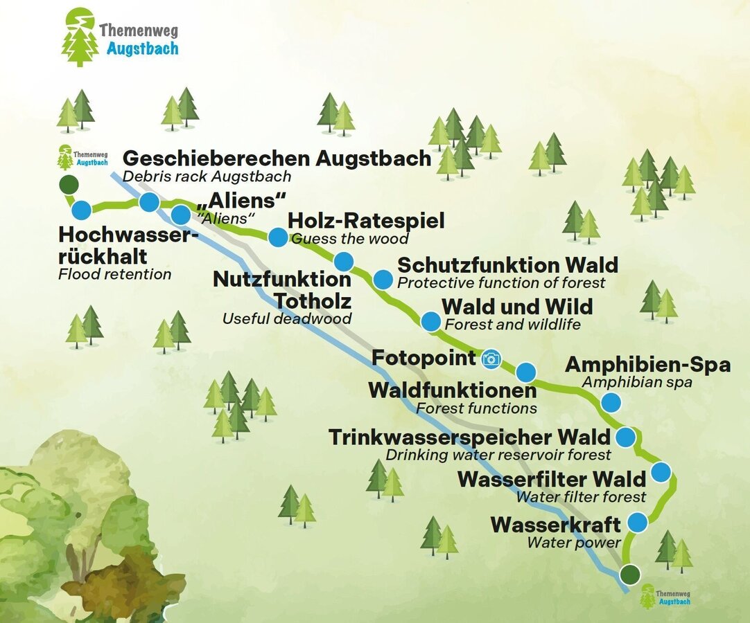
Verlauf des Themenweges und Info Schautafeln | © Gemeinde Altaussee
1/4
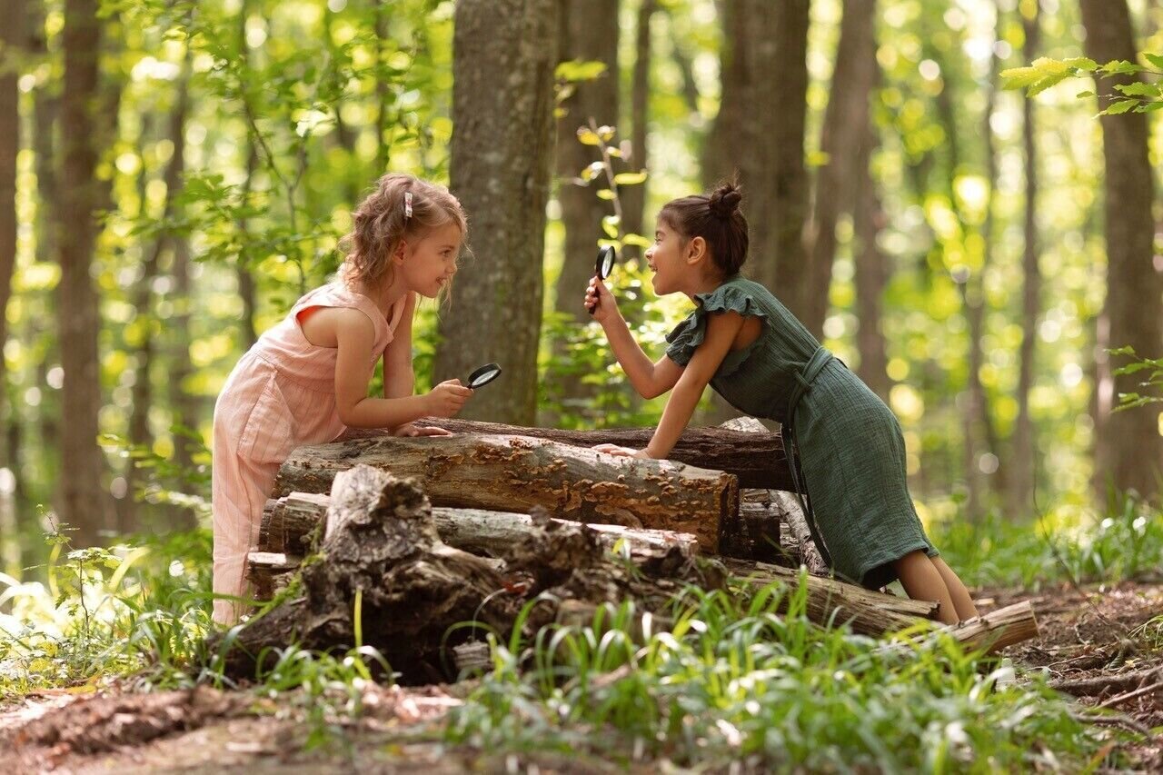
Kinder entdecken den Wald | © freepik.com
2/4
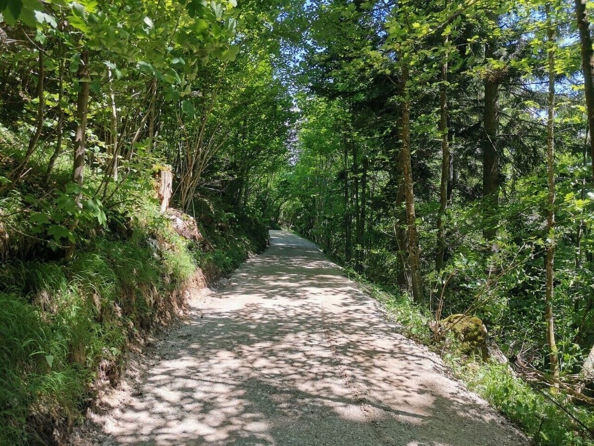
Themenweg Augstbach | © Kulturfux | Michaela Fuchs
3/4

Augsti, die Waldgämse | © Ausseerland | Philipp Pamminger
4/4

What the weather will be like Altaussee (727m)
Today, 12.10.2026
Morning clouds will clear gradually. Then frequent sunny periods.Morning

5°C
sr.Regenwahrscheinlichkeit
95%
sr.Windstärke
0 km/h
Noon

11°C
sr.Regenwahrscheinlichkeit
30%
sr.Windstärke
5 km/h
Night

7°C
sr.Regenwahrscheinlichkeit
0%
sr.Windstärke
0 km/h
Tomorrow, 13.10.2026
Dry and sunny throughout the day with hardly any clouds.Morning

2°C
sr.Regenwahrscheinlichkeit
0%
sr.Windstärke
0 km/h
Noon
13°C
sr.Regenwahrscheinlichkeit
0%
sr.Windstärke
5 km/h
Night
7°C
sr.Regenwahrscheinlichkeit
5%
sr.Windstärke
0 km/h
Forecast
14.10.2026

6°C
14°C
15.10.2026
6°C
16°C
16.10.2026
5°C
17°C
