


Closed
Winter hike Ödensee
Characteristics
SkillThe tour in numbers
Level of difficulty
easy
Route
2,3 km
Time
0:45 h
Highest point
783 m
The circular trail around Lake Ödensee in Pichl-Kainisch is an easy and family-friendly hike.
The flat trail is 2.3 km long and takes about 45 minutes to walk around the idyllic moor lake. It is also easily accessible with prams and dogs.
Best season
January
February
March
April
May
June
July
August
September
October
November
December
More information
The best way to get to Ödensee is to plan with google.at/maps.
Free parking is available directly at the Ödensee.
Free parking is available directly at the Ödensee.
The route varies between forest sections and open shore areas, offering magnificent views of the frozen lake and snow-covered mountains.
To round off the walk, enjoy coffee and cake at the Kohlröserlhütte lakeside café.
There is ample parking available right at the starting point, so you can begin your excursion comfortably and stress-free – ideal for families, walkers and nature lovers alike.
Discover the diversity of the Ausseerland region: the newsletter provides up-to-date information on exciting news, weather, events and offers – perfect preparation for every day. Current brochures can be conveniently ordered for delivery to your home via the brochure order form.
To round off the walk, enjoy coffee and cake at the Kohlröserlhütte lakeside café.
There is ample parking available right at the starting point, so you can begin your excursion comfortably and stress-free – ideal for families, walkers and nature lovers alike.
Discover the diversity of the Ausseerland region: the newsletter provides up-to-date information on exciting news, weather, events and offers – perfect preparation for every day. Current brochures can be conveniently ordered for delivery to your home via the brochure order form.
Please do not step on the ice surface of the frozen Ödensee or throw stones at it and do not leave the path.
Emergency call mountain rescue: 140
Tip for reporting an emergency - give answers to the six W-questions:
- What happened?
- How many injured?
- Where did the accident happen? (possibly GPS coordinates)
- Who is reporting? (callback number)
- When did the accident happen?
- Weather at the accident site?
Proper backpacking makes many things easier:
- pack heavy things first.
- The water bottle should always be within easy reach in a side pocket.
- All things that are often needed such as sunglasses, camera or hiking map belong on top.
- An emergency kit including blister plaster belongs in every backpack and a clothing according to the "onion system" is always recommended!
Non-cross-country skiers are not permitted to use the trail, so please stay on the signposted winter hiking trail.
With the Verbundlinie BusBahnBim app, finding timetable information has never been easier: all bus, train and tram connections in Austria can be searched for by entering locations and/or addresses, stops or important points. The app is available as a free app for smartphones (Android, iOS) – on Google Play and in the App Store.
Tourist Office Ausseerland Salzkammergut
Information office Bad Mitterndorf
8983 Bad Mitterndorf No. 58
+43 3623 24 44
Send e-mail
Website
Free general maps and hiking maps are available at the information offices of the Ausseerland Salzkammergut Tourist Association.
Information office Bad Mitterndorf
8983 Bad Mitterndorf No. 58
+43 3623 24 44
Send e-mail
Website
Free general maps and hiking maps are available at the information offices of the Ausseerland Salzkammergut Tourist Association.
Map & downloads
Gallery
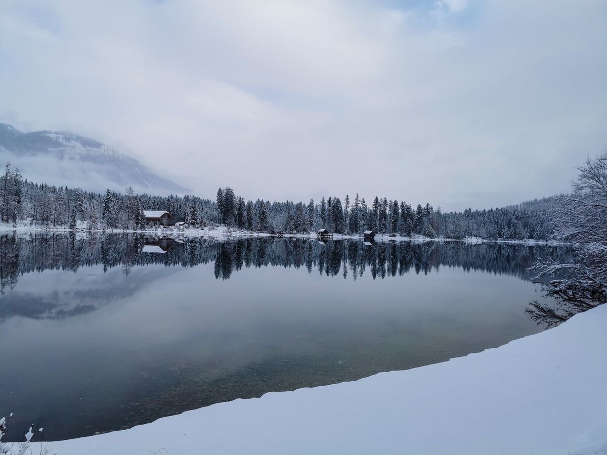
Winter rund um den Ödensee | © Tourismusverband Ausseerland Salzkammergut | Theresa Schwaiger
1/5
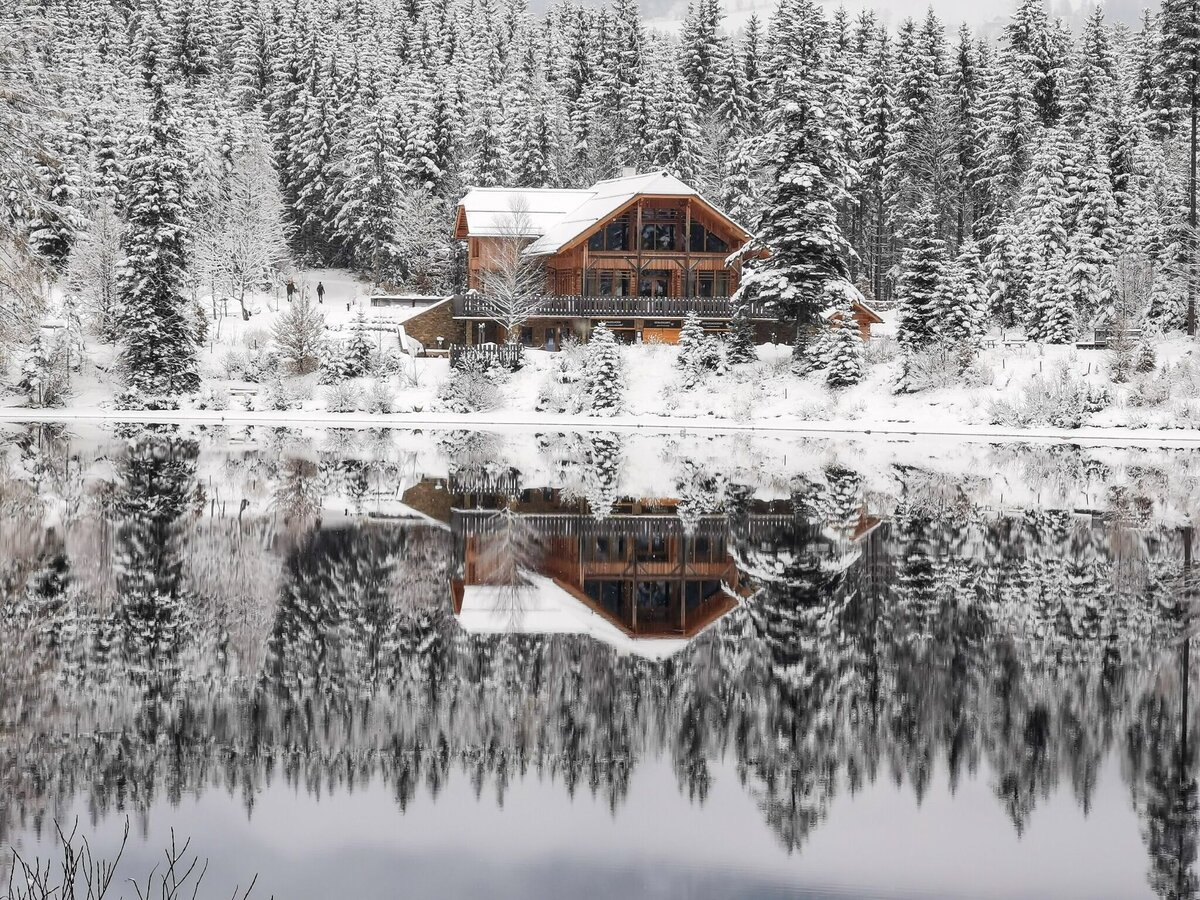
Kohlröserhütte im Winter, Ödensee | © Tourismusverband Ausseerland Salzkammergut | Theresa Schwaiger
2/5
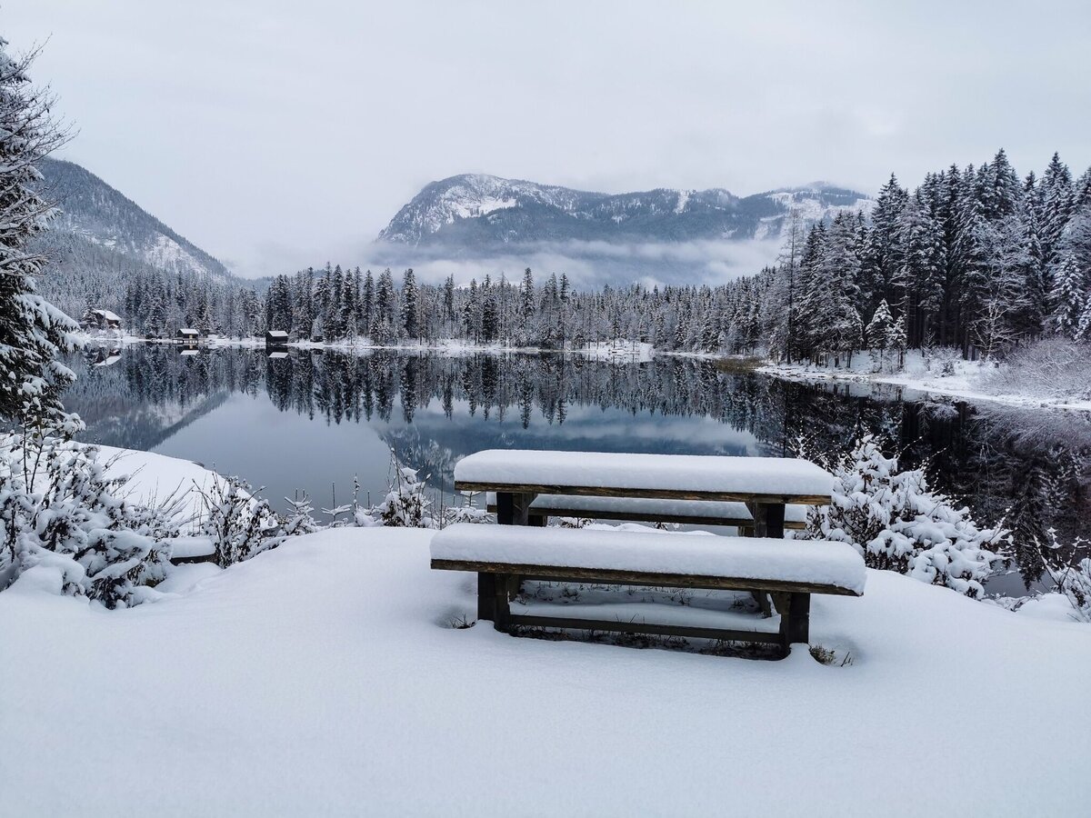
Winter am Ödensee | © Tourismusverband Ausseerland Salzkammergut | Theresa Schwaiger
3/5
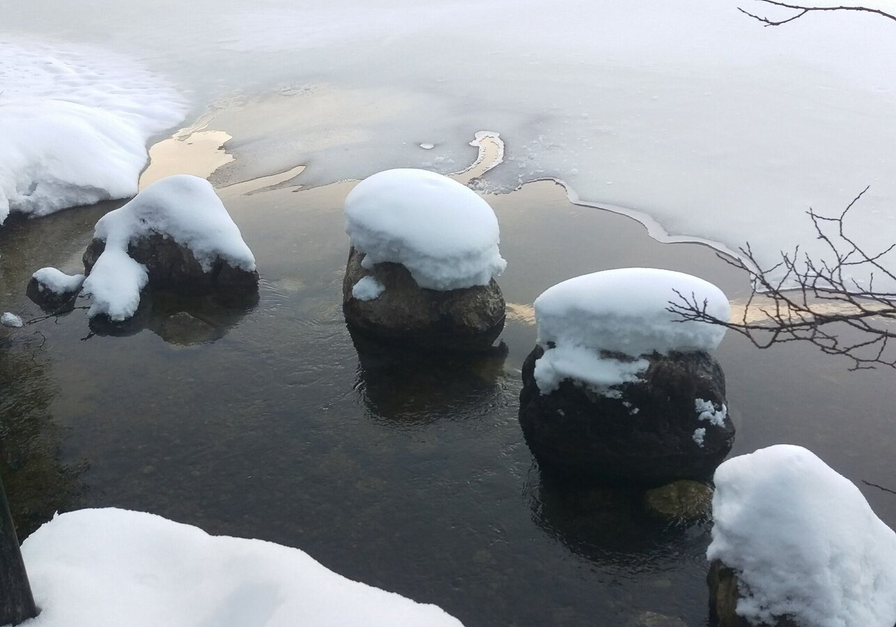
winterwanderung ödensee_img_25388051 | © Tourismusverband Ausseerland Salzkammergut | C. Arzberger
4/5
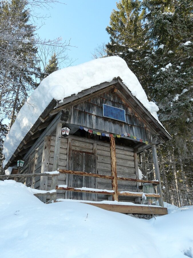
Hütte am Weg | © Tourismusverband Ausseerland Salzkammergut
5/5

What the weather will be like Bad Aussee (652m)
Today, 12.10.2026
Morning clouds will clear gradually. Then frequent sunny periods.Morning

5°C
sr.Regenwahrscheinlichkeit
95%
sr.Windstärke
0 km/h
Noon

12°C
sr.Regenwahrscheinlichkeit
30%
sr.Windstärke
5 km/h
Night

7°C
sr.Regenwahrscheinlichkeit
0%
sr.Windstärke
0 km/h
Tomorrow, 13.10.2026
Dry and sunny throughout the day with hardly any clouds.Morning

3°C
sr.Regenwahrscheinlichkeit
0%
sr.Windstärke
0 km/h
Noon
13°C
sr.Regenwahrscheinlichkeit
0%
sr.Windstärke
5 km/h
Night
8°C
sr.Regenwahrscheinlichkeit
5%
sr.Windstärke
0 km/h
Forecast
14.10.2026

7°C
15°C
15.10.2026
7°C
17°C
16.10.2026
6°C
18°C
