


Summit Grimming via Klachau-Kulm
Characteristics
FitnessThe tour in numbers
Level of difficulty
challenging
Route
8,8 km
Time
7:30 h
Uphill
1385 hm
Downhill
1385 hm
Highest point
2351 m
The north ascent from Grimming is a high alpine tour, with climbing sections, which are secured with ropes.
THE SHORTEST WAY. The tour starts relatively easy up to the rope-secured passage. Continue into the cirque below the Schartenspitze in a southeasterly direction. In easy climbing to the plateau and to the summit.
Best season
January
February
March
April
May
June
July
August
September
October
November
December
More information
On the Ennstal Bundesstraße B 320 at the traffic circle in Trautenfels take the exit towards Tauplitz. Drive along the Salzkammergutstraße B 145 to the village Klachau Kulm.
Mountaineer-Parkingplace Kulm
Mountaineer-Parkingplace Kulm
We start at the Kulm mountaineering parking lot. The path leads you first through the forest, past a memorial plaque, becoming steeper and steeper uphill. It goes over scree and loose stones to the first rope-secured passage. There you continue into the scree cirque below the Schartenspitze and cross in a southeasterly direction. After the steep ascent over loose scree, further rope-secured climbing passages follow up to the plateau. You have already done most of it. You only have to pass the bivouac box and reach the summit cross. Your feeling of happiness is simply phenomenal. Still flashed but physically well rested, you climb back to the starting point via the ascent route.
- Plan your tour in advance, taking into account walking time, route length, altitude difference, danger spots and weather forecast.Together is much more beautiful and at the same time safer in the mountains.
- Do not go alone, if possible, and adapt the tour to the ability of your group.
- Let them know where you are going and when you want to be back. Also sign hut or summit books.
- Turn back in good time if the weather deteriorates. If you get caught in a thunderstorm, do not stay on the summit or ridge and stay away from individual trees. Wait out the storm, if possible in a crouching position.
- Stay on the marked trails and remember to close pasture fences again.
- Getting up the trail is only half the battle. Stay alert, especially on the descents, to make it back to the valley safely.In case of emergency, keep calm and call the mountain rescue on 140. If you have no reception, take out the sim card and dial 112.
- If you encounter cows: It is best to pass above the herd with at least 50 meters distance. Stay calm, don't make any frantic movements and don't run away. Do not imitate cow sounds and do not try to pet the animals. A stick and loud shouting can often make the animals turn back in an emergency.
- If you are a dog owner: Clarify before the hike if you have to cross a pasture. Keep your dog on a leash and make sure he stays calm. If a cow attacks, let the dog off the leash immediately. Never pick him up to defend him.
- You can get detailed information on "Safe Mountain Hiking" from the Alpine Club. At www.alpenverein.at you can inform yourself comprehensively about it.
For the Grimming climb, a helmet is also mandatory equipment.
The ascent should be scheduled as early as possible on hot summer days due to the altitude and length of the tour.
With the bus from the trainstation ,,Stainach'' too the busstop ,,Klachau''.
Tourism information: www.schladming-dachstein.at
Tourist Office Schladming-Dachstein
Ramsauerstrasse 756
8970 Schladming
T: +43 3687 23310
info@schladming-dachstein.at
- SCHLADMING-DACHSTEIN Hiking EAST. Available free of charge from tourist offices and accommodation providers.
- SCHLADMING-DACHSTEIN Hiking Map 1:50,000
- KOMPASS Hiking Map 68, Ausseerland-Ennstal 1:50,000, hiking, cycling, ski touring
Map & downloads
Gallery
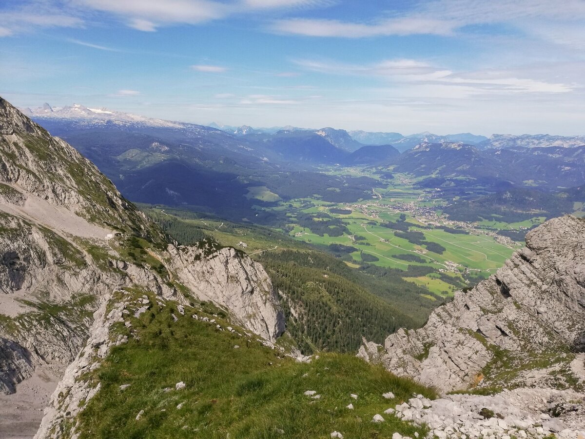
View from the Grimming Nordanstieg | © Erlebnisregion Schladming-Dachstein
1/3
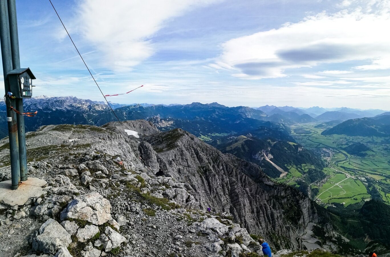
Die Belohnung für 1700 Höhenmeter Aufstieg. | © Tourismusverband Grimming-Donnersbachtal | Roland Gutwenger
2/3
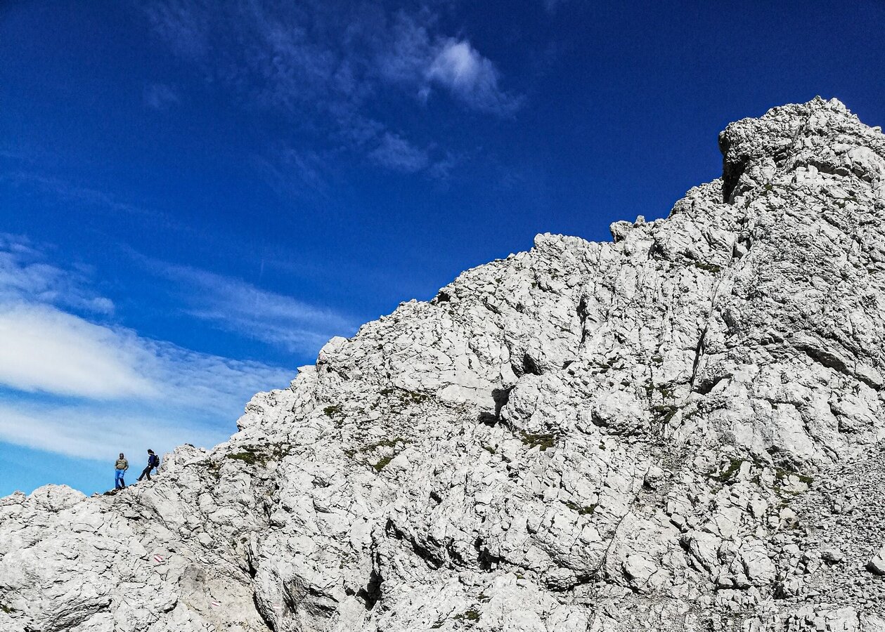
Grimming Nordanstieg | © Erlebnisregion Schladming-Dachstein
3/3

What the weather will be like Bad Mitterndorf (800m)
Today, 21.09.2026
Partly sunny during the day after light rain at daybreak.Morning

11°C
sr.Regenwahrscheinlichkeit
70%
sr.Windstärke
10 km/h
Noon

17°C
sr.Regenwahrscheinlichkeit
35%
sr.Windstärke
15 km/h
Night

12°C
sr.Regenwahrscheinlichkeit
10%
sr.Windstärke
5 km/h
Tomorrow, 22.09.2026
Rain and rain showers will end around noon. Dry with a chance of sunny spells afterwards.Morning
7°C
sr.Regenwahrscheinlichkeit
60%
sr.Windstärke
5 km/h
Noon

14°C
sr.Regenwahrscheinlichkeit
60%
sr.Windstärke
15 km/h
Night
9°C
sr.Regenwahrscheinlichkeit
45%
sr.Windstärke
5 km/h
Forecast
23.09.2026

4°C
18°C
24.09.2026
3°C
17°C
25.09.2026
6°C
17°C
