


Steirersee lake, Schwarzensee lake and Gnanitz alp from Gretl-Hütte
Accessible by public transport- Hiking bus (within 15 minutes walking distance from starting point)
Characteristics
SkillThe tour in numbers
Level of difficulty
medium
Route
19,2 km
Time
6:50 h
Uphill
940 hm
Downhill
940 hm
Highest point
1705 m
Beautiful circular hike to Steirersee and Schwarzensee lakes and via Interhüttenalm and Gnanitzalm.
This diverse hike offers you mountain lakes, alpine experiences and beautiful hiking trails. From the Gnanitz valley you go to the Tauplitz lakes Steirersee and Schwarzensee. On the way there, the Tauplitz waterfall is the first highlight. A beautiful alpine experience awaits you on the Leistalm, the Interhüttenalm and the Gnanitzalm, where the culinary delights are not neglected with numerous refreshment stops! Beautiful circular hike for long summer days with cozy huts to rest in.
Best season
January
February
March
April
May
June
July
August
September
October
November
December
More information
From the B145 Salzkammergut Bundesstraße, exit in Klachau and continue towards Tauplitz. Turn right on the Tauplitzer bypass around the village and at the upper end of the village onto Gnanitzweg. Follow this to the Gretlhütte car park.
Car parking Gretlhütte
You start from the Gnanitztal hiking portal at the Gretlhütte car park. Shortly follow the road out of the valley and then left on the T6 hiking trail to the Tauplitz waterfall, which you will reach after about 25 minutes. From the waterfall we now go up to the crossroads on the Gnanitzweg directly below the karst spring of the "Sagtümpel" ponds. Here you briefly take the road to the left out of the valley towards Tauplitz until you come to the intersection with the Salzkammergut Trail (path #215), which you follow uphill to the right. You go up through the Sagtümpelbach ditch and the Niederblas until the path finally winds up the left side of the ditch and you meet path #275 south of Steirersee lake. You can take a detour to the left to the Almrauschhütte west of Steirersee lake.
You continue eastwards on path #218, along the southern shore of the picturesque Steirersee and over a small saddle over to the somewhat smaller Schwarzensee lake. Shortly after the lake, path #216 joins path #218 from the south and soon after you reach the Leistalm. Here you can stop at the “Wie Dahoam Hittn”. From the Leistalm you continue on path #218 to the Interhütte (refreshments available) and from there down into the Grimmingtal, where you meet path #2. You now follow this out of the valley to the Gnanitzalm, where you can stop at the Johnsleitner Hut and the Hechl Hut. From there you head west out of the valley to the starting point of your tour. On the way you will also pass the Böhmhütte, where you can also stop off.
- Plan your tour in advance, taking into account walking time, route length, altitude difference, danger spots and weather forecast. Together is much more beautiful and at the same time safer in the mountains.
- Do not go alone, if possible, and adapt the tour to the ability of your group.
- Let someone know where you are going and when you want to be back. Also sign hut or summit books.
- Turn back in good time if the weather deteriorates. If you get caught in a thunderstorm, do not stay on the summit or ridge and stay away from individual trees. Wait out the storm, if possible in a crouching position.
- Stay on the marked trails and remember to close pasture fences again.
GPS data and orienteering
Available GPS data - just like hiking maps - is only a guidance for orientation and can never depict a trail exactly with all its details. Especially at dangerous spots it is essential to judge on site how to proceed.
In an emergency please call:
- 140 - for Alpine emergencies (all over Austria)
- 112 - European GSM emergency number
A well-packed backpack is helpful and especially when touring Alpine terrain a tuque, gloves, a windproof jacket and pants are standard equipment. Good, waterproof shoes, sun glasses, sun cream and sufficient beverages are essential too. Torch light, a map of the area, knie and a small first-aid kit should also be in the backpack.
From Leistalm, mountain enthusiasts can also take a detour to the Rosskogel (1,870 m).
The starting point is not directly accessible to the public by train or bus. However, you can get to the starting point with the Salzkammergut Shuttle Service:
SCHLADMING-DACHSTEIN summer experience map EAST, available at the information offices in the Schladming-Dachstein region.
Map & downloads
Gallery
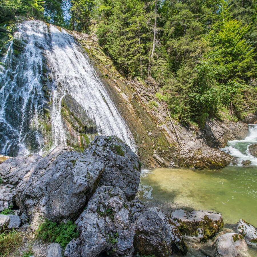
Tauplitz Waterfall | © Erlebnisregion Schladming-Dachstein | Manuel Capellari
1/7
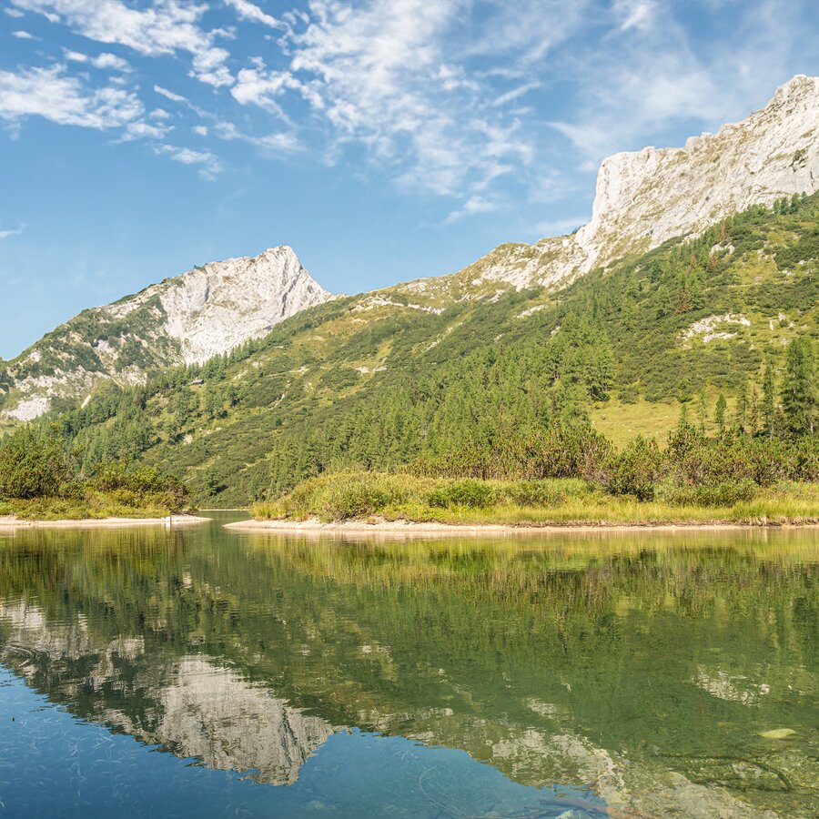
Shores of the Steirersee | © Erlebnisregion Schladming-Dachstein | Manuel Capellari
2/7
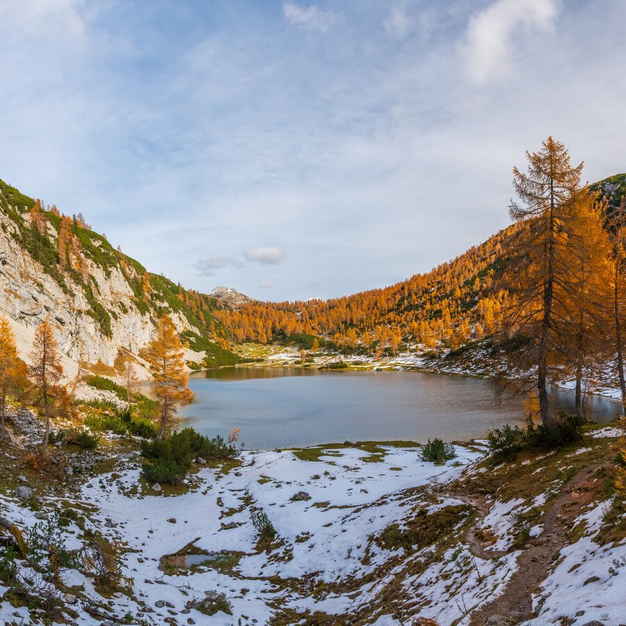
Schwarzensee on the Tauplitz | © Erlebnisregion Schladming-Dachstein | Manuel Capellari
3/7
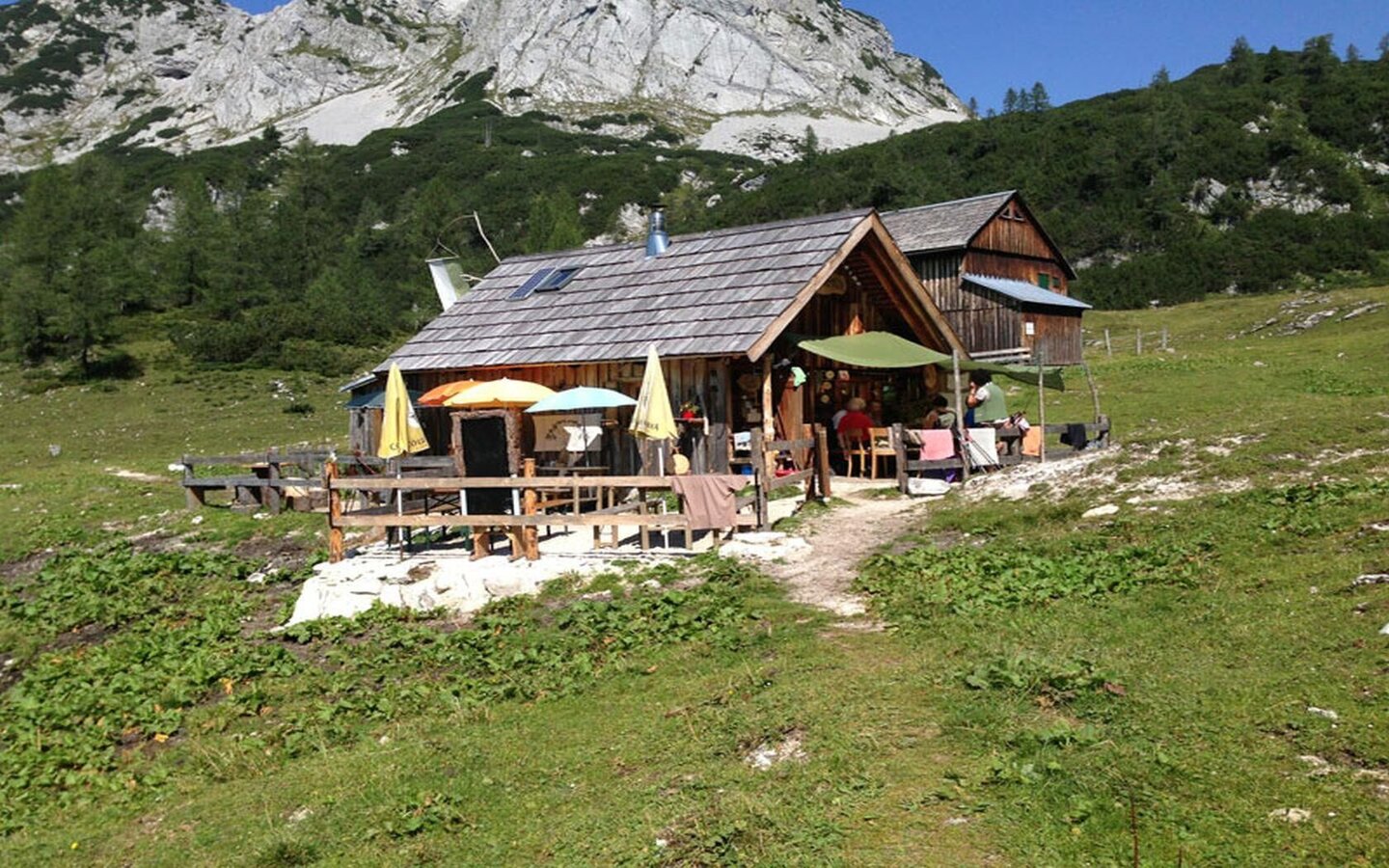
Wia dahoam Hittn Leistalm | © Jürgen Hentschel
4/7
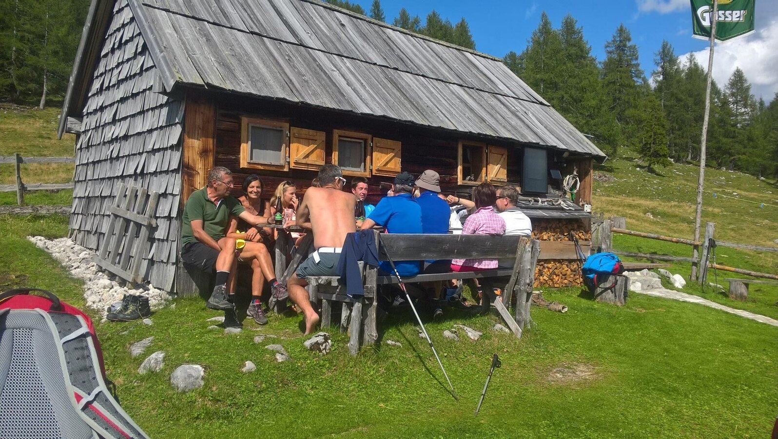
Rest in front of the Interhütte | © Gerhard Lichtenauer
5/7
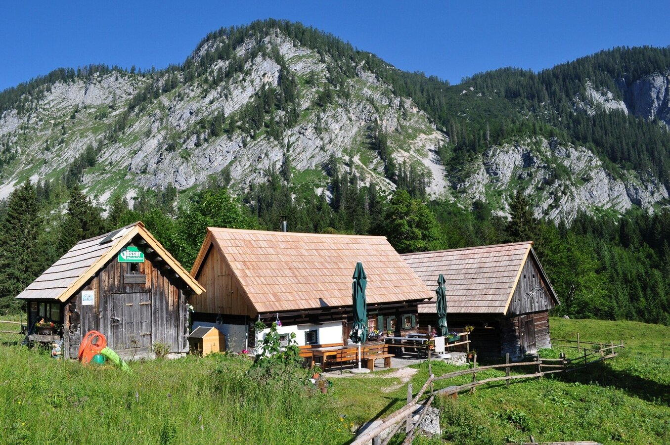
Johnsleitnerhütte on the Alm | © Johnsleitnerhütte
6/7
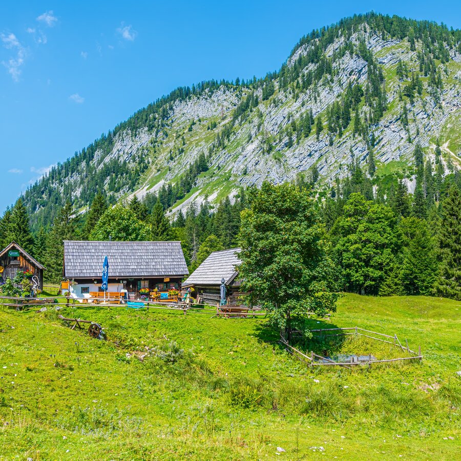
Johnsleitner Hütte in the Gnanitz | © Erlebnisregion Schladming-Dachstein | Manuel Capellari
7/7

What the weather will be like Bad Mitterndorf (800m)
Today, 21.09.2026
Partly sunny during the day after light rain at daybreak.Morning

11°C
sr.Regenwahrscheinlichkeit
70%
sr.Windstärke
10 km/h
Noon

17°C
sr.Regenwahrscheinlichkeit
35%
sr.Windstärke
15 km/h
Night

12°C
sr.Regenwahrscheinlichkeit
10%
sr.Windstärke
5 km/h
Tomorrow, 22.09.2026
Rain and rain showers will end around noon. Dry with a chance of sunny spells afterwards.Morning
7°C
sr.Regenwahrscheinlichkeit
60%
sr.Windstärke
5 km/h
Noon

14°C
sr.Regenwahrscheinlichkeit
60%
sr.Windstärke
15 km/h
Night
9°C
sr.Regenwahrscheinlichkeit
45%
sr.Windstärke
5 km/h
Forecast
23.09.2026

4°C
18°C
24.09.2026
3°C
17°C
25.09.2026
6°C
17°C
