


Salzsteigweg Trail 09 through Steiermark
Characteristics
SkillThe tour in numbers
Level of difficulty
challenging
Route
124,4 km
Time
45:00 h
Uphill
6112 hm
Downhill
6952 hm
Highest point
2194 m
This beautiful tour leads from the Tauplitzalm in the Ausseerland-Salzkammergut region through the Ennstal into the Niedere Tauern mountains. The Tauern are crossed near the Sölkpass and so we arrive in the town of historic Murau in the Murtal valley.
The Salt Trail follows old paths through the Tote Gebirge mountains and the Niedere Tauern on which salt was transported as early as Roman times. This long-distance hiking trail was opened in 1983 and leads from the Mühlviertel in Upper Austria to the Wurzen Pass in the Karawanken. The tour thus traverses Austria from the north to the south on the border with Italy.
From the Tauplitzalm, which we reach by chairlift, in the Ausseerland region, we first walk along part of the extremely popular 6-lake hike across this impressively beautiful alpine area. Soon, however, we branch off to the south to first descend into the Ennstal. The tour continues via the Planneralm into the Niedere Tauern, which we cross to reach the Murtal via the Stolzalpe, in the historic town of Murau, which is also a stage stop on the hiking route "From Glacier to Wine".
Best season
January
February
March
April
May
June
July
August
September
October
November
December
More information
Detailed information on how to get to Tauplitzal can be found here.
In Tauplitz, numerous parking spaces are available in the area around the valley station of the Tauplitz mountain lifts.
The Tauplitzalm, the largest lake plateau in Central Europe, is an ideal starting point for the Salt Trail through Styria. From Tauplitz, we can comfortably reach the mountain pasture with the chairlift (please regard the operating times!). From the mountain station, our tour - identical to the 5th stage of the hiking route From the Glacier to the Wine - leads past Lake Tauplitz, Lake Steirer and Lake Schwarzen towards the Leistalm Hut, where we also meet the Salzstieg variant over the Salzsteigjoch. Next, we head to the Hochmölbinghütte high above the Ennstal valley. Via the beautifully situated Spechtensee, we reach Aigen im Ennstal. Next up: the Planneralm. The way up to the Plannerknot, a prominent junction of several hiking trails, is all uphill. Alpine pastures, shady forests, but also narrow paths leading steeply uphill are our companions. From the Planneralm, we follow the Central Alpine Trail 02 over the Goldbachscharte with its lake of the same name to Donnersbachwald.
Along the Mörsbach, we now head uphill to the Gstemmerscharte to reach St. Nikolai in the natural park Sölktäler, where we say goodbye to the Central Alpine Trail 02. Via the Hansenalm, Mautneralm and Hüttfeldalm we reach the Erzherzog Johann Hütte in the middle of the Niedere Tauern. Across the Tauern, we go to St. Peter am Kammersberg in the Murau region. Our last part takes us once again uphill to the Stolzalpe with its beautiful alpine pastures, to then descend to the historic town of Murau with its castle towering over the town and the Murau brewery.
Details of the Salzsteigweg 09 can be found (in German) on the website of the Austrian Alpine Association.
Emergency call mountain rescue: 140
Tips when reporting an emergency – Answer these six WH questions: What happened? How many people are injured? Where did the accident happen (are there GPS coordinates)? Who is reporting the incident (callback number)? When did the accident happen? What is the weather like at the site of the incident?
Proper backpack packing makes many things easier: Pack heavy things first. The water bottle should always be within reach in a side pocket. All the things that are often needed, such as sunglasses, camera or hiking map, belong on top. An emergency kit, including blister plasters, belongs in every rucksack and it is always advisable to dress in layers.Accessible by
train and bus: detailed information about arriving by ÖBB (Austrian Federal
Railways) can be found at www.oebb.at or
on the Verbundlinie Steiermark website www.busbahnbim.at
With Verbundlinie’s BusBahnBim route planner app, planning your journey has never been easier: simply enter towns and/or addresses, stop names or points of interest to check all bus, train and tram connections in Austria. The app is available free of charge for smartphones – on Google Play and in the App Store
Steiermark Tourismus, Tel. +43 316 4003
www.steiermark.com
Map & downloads
Gallery
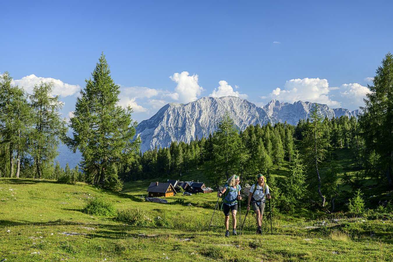
tauplitzalm_steiermark-tourismus-_-pixelmaker.at.jpg | © Seiermark Tourismus | pixelmaker.at
1/8
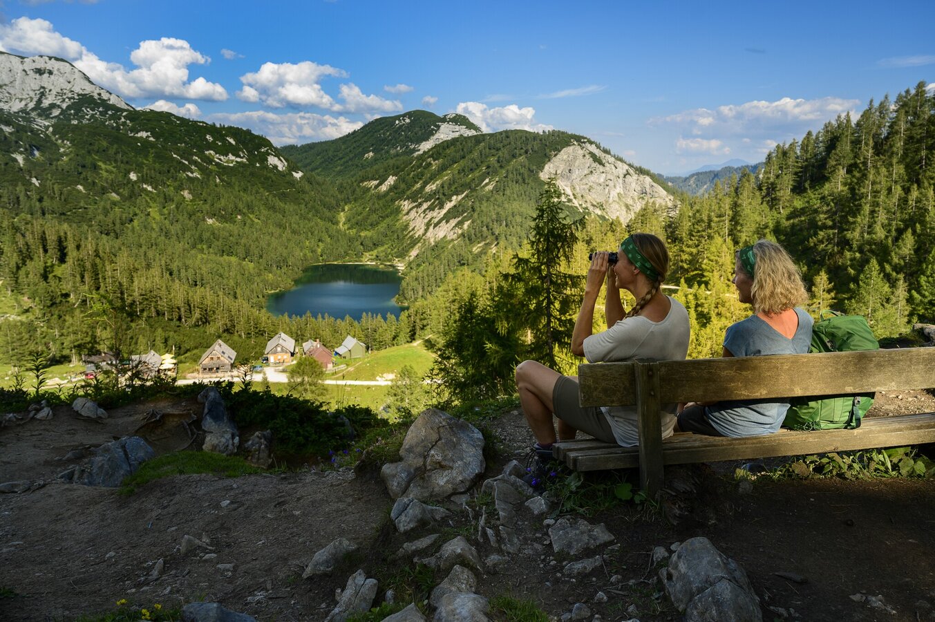
steirerbankerl_steiermark-tourismus-_-pixelmaker.at.jpg | © Seiermark Tourismus | pixelmaker.at
2/8
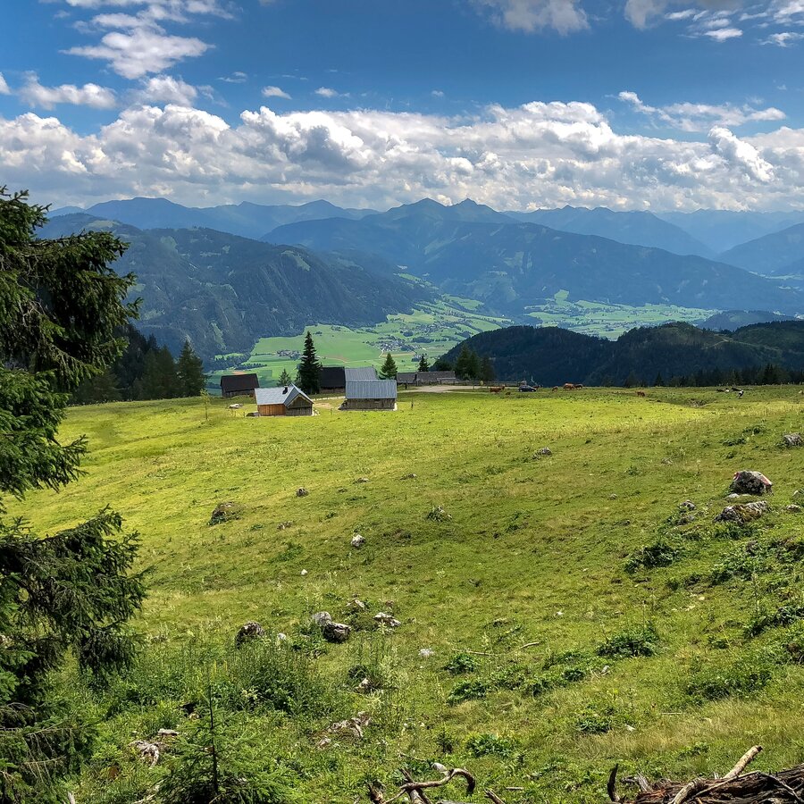
Blick ins Tal, unser heutiges Ziel | © Steiermark Tourismus | Manfred Polansky
3/8
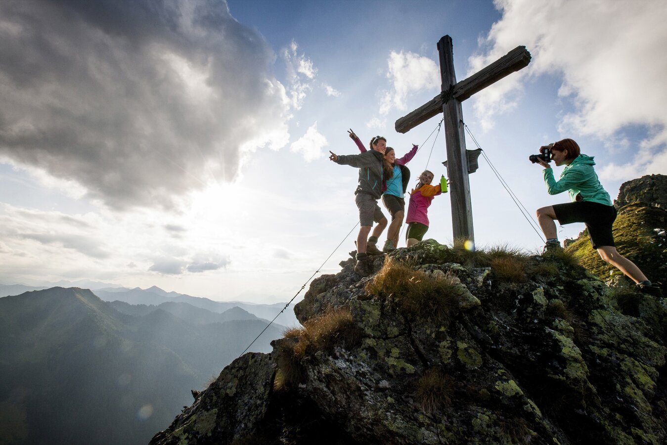
225764-2960_c_steiermark_tourismus_ikarus.cc.jpg | © Steiermark Tourismus | Tom Lamm
4/8
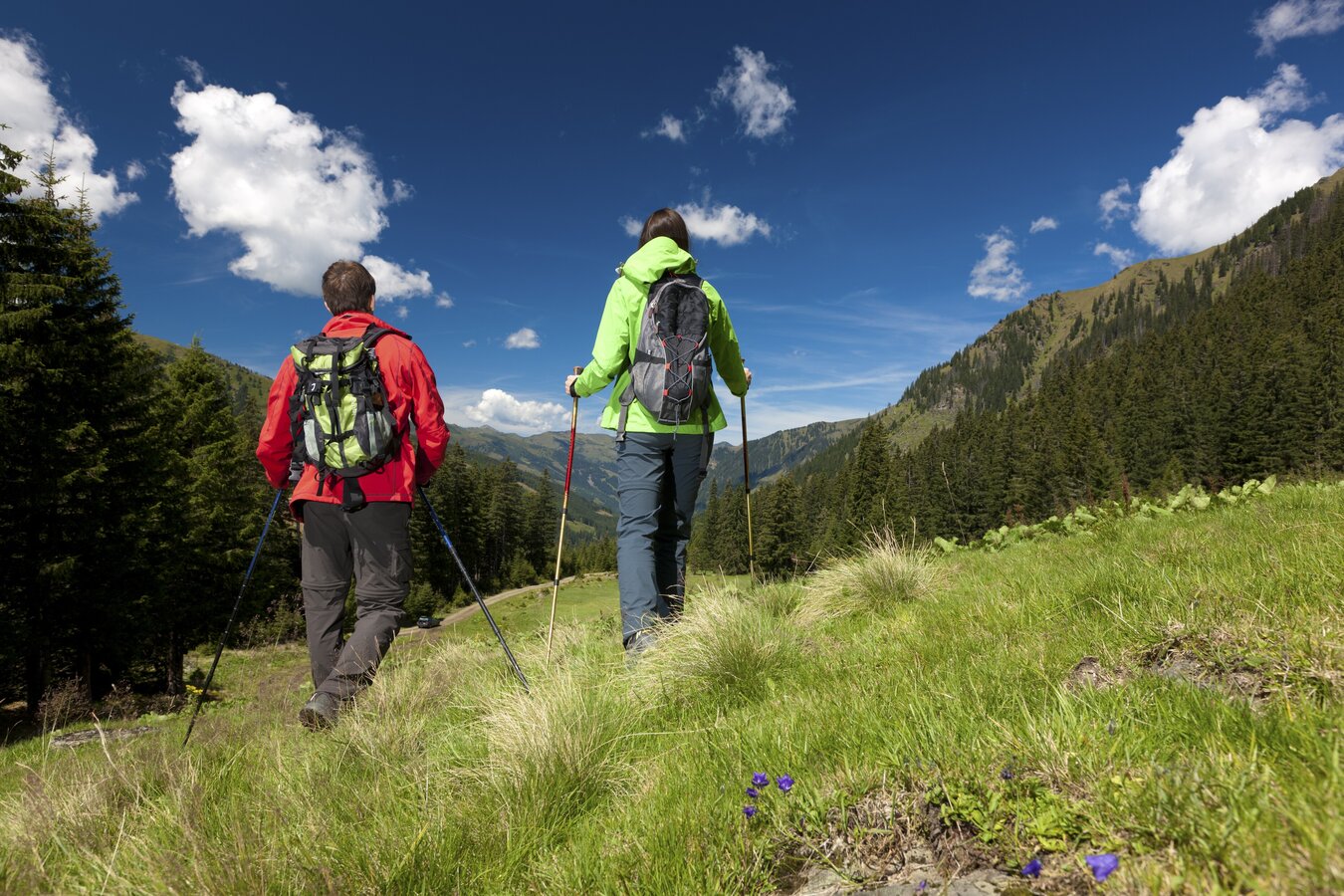
224748-2220__hemma-pilgerweg__donnersbachwald_.jpg | © Steiermark Tourismus | Harry Schiffer
5/8
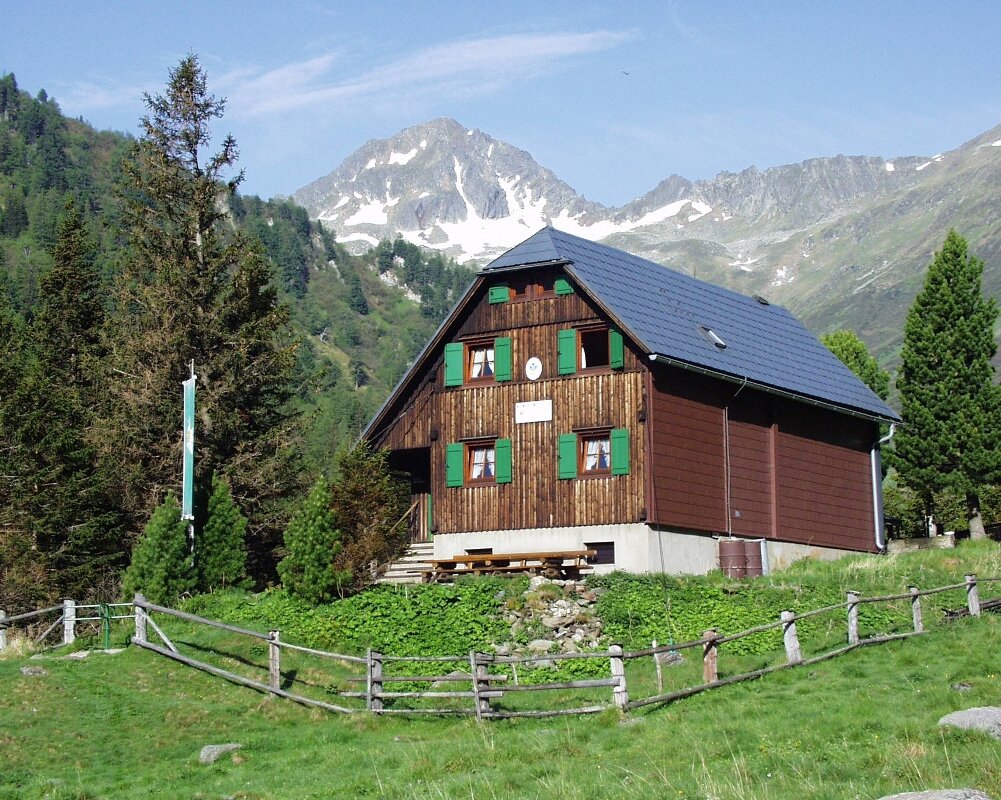
Neunkirchner Hütte | © ÖAV-Hüttenfinder | Alpenverein - Gebirgsverein
6/8
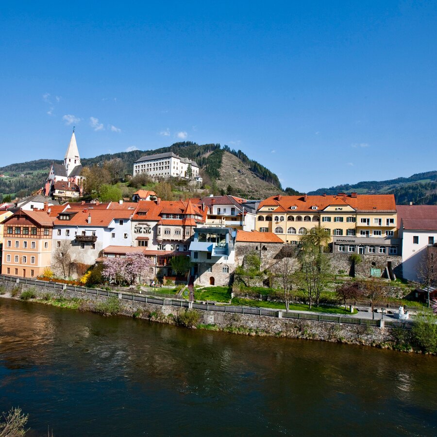
Murau mit Blick zum Schloss | © ikarus.cc/TVB Murau-Kreischberg | Tourismusverband Region Murau
7/8
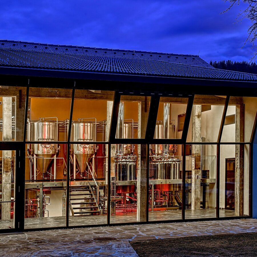
Brauerei der Sinne | © Brauerei Murau eGen | Tourismusverband Region Murau
8/8

What the weather will be like Bad Mitterndorf (800m)
Today, 21.09.2026
Partly sunny during the day after light rain at daybreak.Morning

11°C
sr.Regenwahrscheinlichkeit
70%
sr.Windstärke
10 km/h
Noon

17°C
sr.Regenwahrscheinlichkeit
35%
sr.Windstärke
15 km/h
Night

12°C
sr.Regenwahrscheinlichkeit
10%
sr.Windstärke
5 km/h
Tomorrow, 22.09.2026
Rain and rain showers will end around noon. Dry with a chance of sunny spells afterwards.Morning
7°C
sr.Regenwahrscheinlichkeit
60%
sr.Windstärke
5 km/h
Noon

14°C
sr.Regenwahrscheinlichkeit
60%
sr.Windstärke
15 km/h
Night
9°C
sr.Regenwahrscheinlichkeit
45%
sr.Windstärke
5 km/h
Forecast
23.09.2026

4°C
18°C
24.09.2026
3°C
17°C
25.09.2026
6°C
17°C
