


Open
Obersdorf circular route
Characteristics
FitnessThe tour in numbers
Level of difficulty
easy
Route
9,9 km
Time
2:45 h
Uphill
171 hm
Downhill
172 hm
Highest point
879 m
Geology, landscape forms and cultural history in the Bad Mitterndorf basin.The trail opens up the area between Bad Mitterndorf and Obersdorf.
The Obersdorf circular trail combines nature and history in an impressive way. With no major differences in altitude, it leads through varied landscapes, past moors, old farms and the Maria Kumitz pilgrimage church. Ideal for families, those interested in culture and relaxed hikers in Ausseerland.
Best season
January
February
March
April
May
June
July
August
September
October
November
December
More information
The best way to get to Bad Mitterndorf is with google.at/maps.
Free parking is available at the Grimminghalle. The starting point of the hike is reached in about 10 minutes on foot. You walk past the schools and the municipal office. Shortly after, the hiking trail begins on the right side.
Free parking is available at the Grimminghalle. The starting point of the hike is reached in about 10 minutes on foot. You walk past the schools and the municipal office. Shortly after, the hiking trail begins on the right side.
The Obersdorfer Rundweg runs between gentle hills, mysterious moors and exciting cultural history - an educational themed trail in Ausseerland, which is dedicated to the interplay of geology, landscape forms and regional history. The easy circular hike, which starts in Bad Mitterndorf, runs through flat terrain and is ideal for a relaxed family hike in Ausseerland.
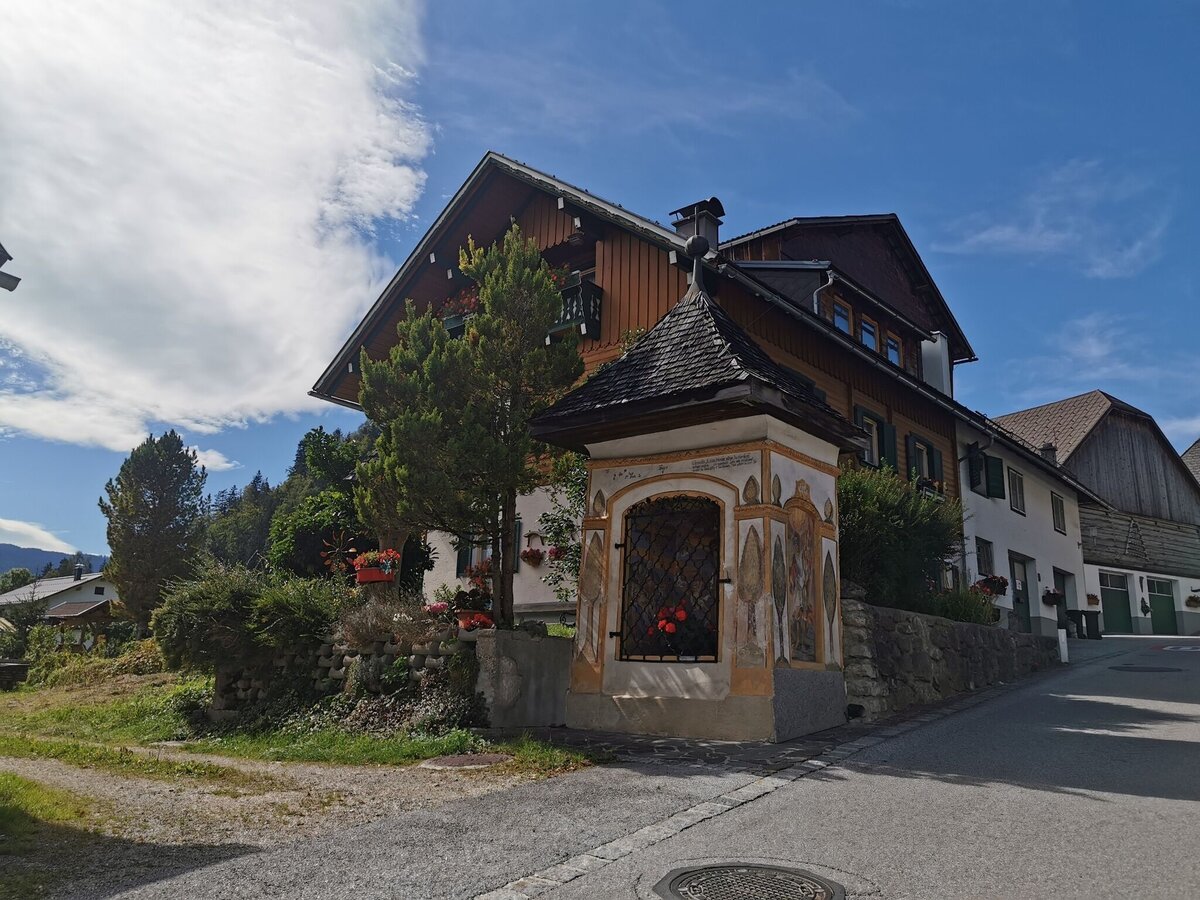
The start is at Haus Trinkl at the western entrance to Bad Mitterndorf. The trail runs through the settlement area of Rödschitz Reith and is identical to forest trail no. 17 in the direction of Obersdorf. After a walk through the idyllic village, the trail circles the Kumitzberg - the famous Maria Kumitz pilgrimage church, a popular excursion destination in the Bad Mitterndorf hiking area, is enthroned on the hillside.
The route continues through an underpass beneath the main road along the Obersdorfer Moos, an ecologically valuable moorland landscape. The return route begins at the “Pleam” farm via the Laasenweg trail (trail no. 22), which leads back to the starting point at Haus Trinkl.
Exciting discoveries along the way:
The Obersdorf circular trail is not just a hike, but also a journey through time through the development of the Bad Mitterndorf basin:
- How were today's rocks and landscapes formed?
- What traces did the Ice Age leave behind in the numerous moors and depressions?
- Why does the watershed of two river systems meet here?
- Which paths were once used to transport ore from the Teltschenalm into the valley?
- And what stories do the old houses of Obersdorf tell?
Information boards along the route vividly explain the geological processes and cultural characteristics of this unique hiking region in Ausseerland.
Emergency call mountain rescue: 140
Emergency reporting tip - provide answers to the six W questions:
- What happened?
- How many injured?
- Where did the accident happen (possibly GPS coordinates)?
- Who is reporting? (callback number)
- When did the accident happen?
- Weather at the accident site?
- pack heavy things first.
- The water bottle should always be within easy reach in a side pocket.
- All things that are often needed, such as sunglasses, camera or hiking map, belong on top.
- An emergency kit including blister plaster belongs in every backpack and a clothing according to the "onion system" is always recommended!
If you would like to delve deeper into the region, you can pick up a free Ausseerland hiking map at all tourist offices. Even more inspiration can be found in the hiking map store and on our guided hikes, which offer exciting insights into the natural and cultural landscape of the Salzkammergut.
Tourist office Ausseerland Salzkammergut
Information office Bad Mitterndorf
8983 Bad Mitterndorf No. 58
+43 3623 24 44
Send e-mail
Website
Hiking maps are available in the information offices in Ausseerland or in the Ausseerland Artikel Shop.
Map & downloads
Gallery
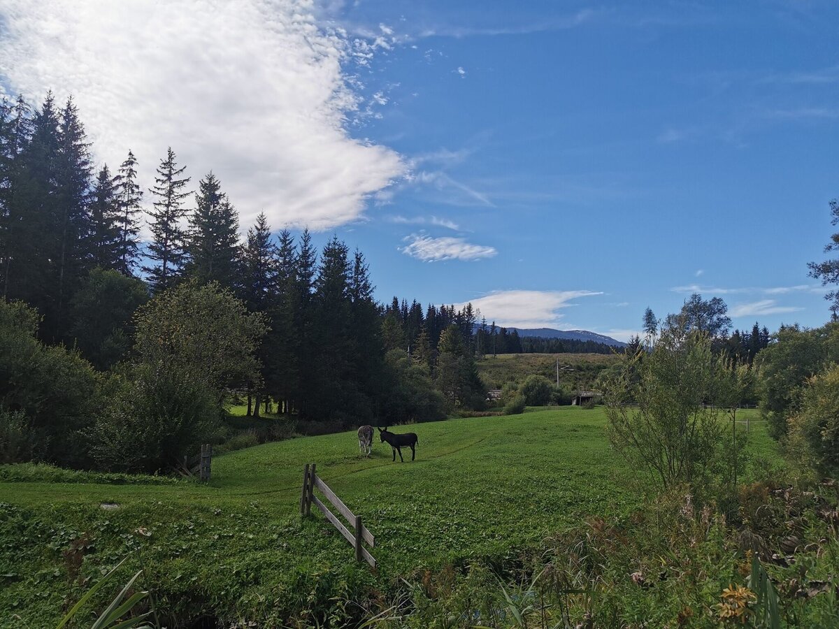
obersdorfer rundweg_img_80817904 | TVB Ausseerland Salzkammergut_Theresa Schwaiger
1/6
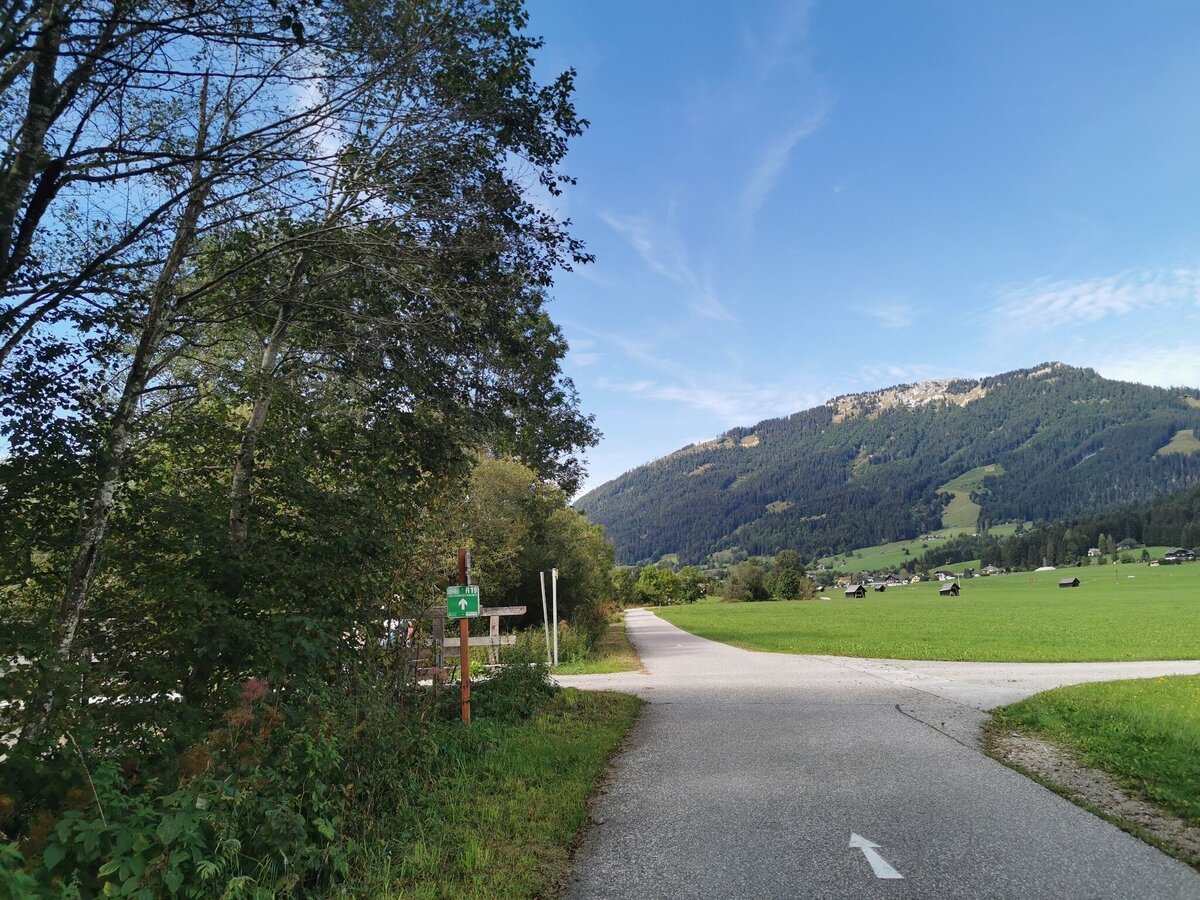
obersdorfer rundweg_img_80817905 | TVB Ausseerland Salzkammergut_Theresa Schwaiger
2/6
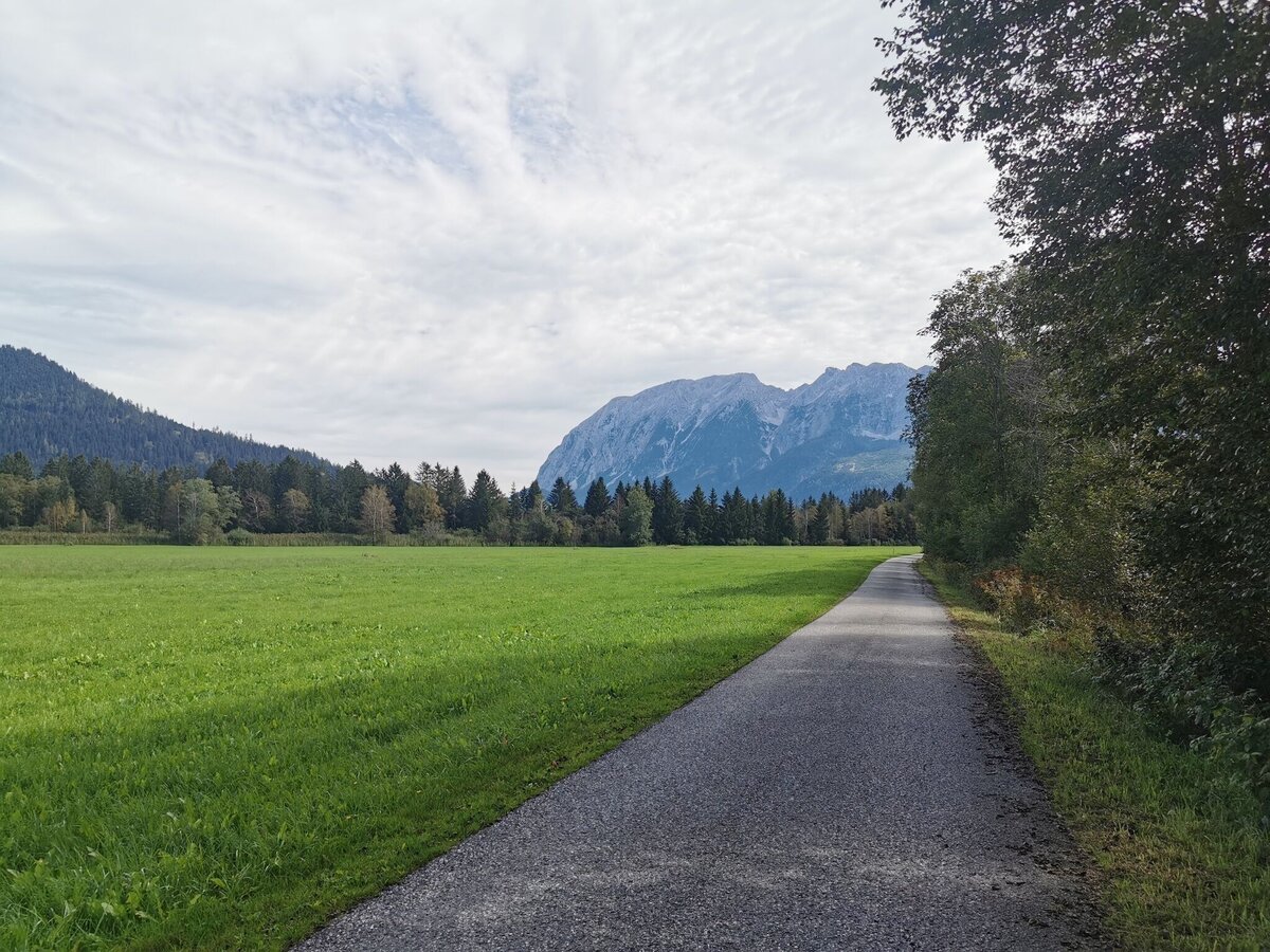
obersdorfer rundweg_img_80817906 | TVB Ausseerland Salzkammergut_Theresa Schwaiger
3/6
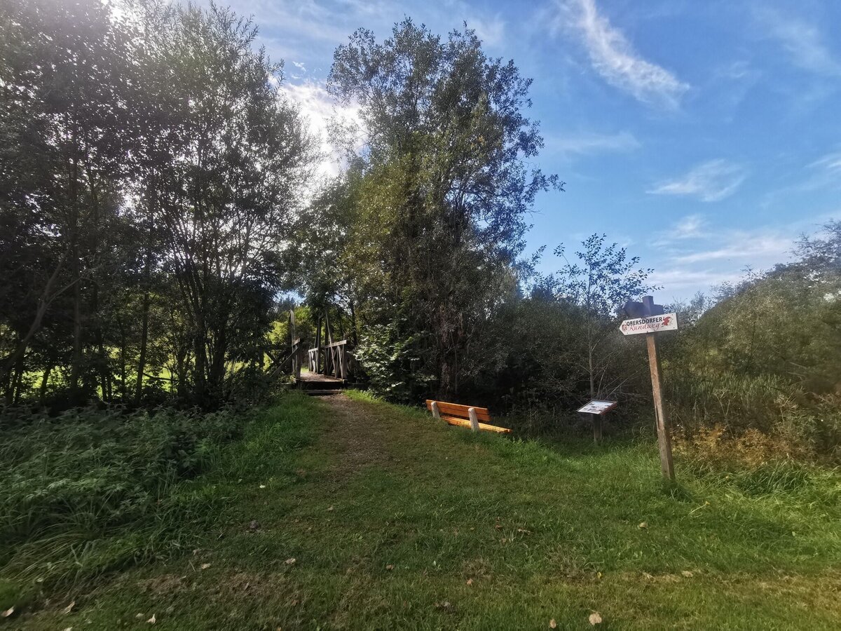
obersdorfer rundweg_img_80817908 | TVB Ausseerland Salzkammergut_Theresa Schwaiger
4/6
obersdorfer rundweg_img_80817909 | TVB Ausseerland Salzkammergut_Theresa Schwaiger
5/6
obersdorfer rundweg_img_80817910 | TVB Ausseerland Salzkammergut_Theresa Schwaiger
6/6

What the weather will be like Bad Mitterndorf (800m)
Today, 21.09.2026
Partly sunny during the day after light rain at daybreak.Morning

11°C
sr.Regenwahrscheinlichkeit
70%
sr.Windstärke
10 km/h
Noon

17°C
sr.Regenwahrscheinlichkeit
35%
sr.Windstärke
15 km/h
Night

12°C
sr.Regenwahrscheinlichkeit
10%
sr.Windstärke
5 km/h
Tomorrow, 22.09.2026
Rain and rain showers will end around noon. Dry with a chance of sunny spells afterwards.Morning
7°C
sr.Regenwahrscheinlichkeit
60%
sr.Windstärke
5 km/h
Noon

14°C
sr.Regenwahrscheinlichkeit
60%
sr.Windstärke
15 km/h
Night
9°C
sr.Regenwahrscheinlichkeit
45%
sr.Windstärke
5 km/h
Forecast
23.09.2026

4°C
18°C
24.09.2026
3°C
17°C
25.09.2026
6°C
17°C
