


Open
Hike via the old alpine trail from Tauplitz to the Tauplitzalm
Characteristics
SkillThe tour in numbers
Level of difficulty
medium
Route
5,6 km
Time
4:00 h
Uphill
721 hm
Highest point
1650 m
Trail no. 276 is the shortest option for a hike from Tauplitz to the Tauplitzalm.
This short and easy hike in the Ausseerland leads from Tauplitz up to the Tauplitzalm via the old alpine trail (trail no. 276). Starting in Tauplitz, the route ascends steadily – first on asphalt, then on gravel – passing the mountain church and continuing up to the top station of the 4-seater chairlift, accompanied by beautiful views down into the valley.
Best season
January
February
March
April
May
June
July
August
September
October
November
December
More information
The journey to Tauplitz is best planned with google.at/maps.
There are free parking spaces available at the valley station of the 4-seater chairlift.
There are free parking spaces available at the valley station of the 4-seater chairlift.
This easy hike in the Ausseerland offers a pleasant way to get from the village center of Tauplitz up to the Tauplitzalm. Trail no. 276 runs mostly uphill, is easy to walk, and is ideal for a relaxed half-day tour with beautiful views of the surrounding mountains.
The tour starts in the center of Tauplitz and first follows an asphalt road uphill to just below the mid-station. From there, the route continues on a well-maintained gravel path.
The well-marked trail no. 276, known as the old alpine path, leads south of the church up to the sunny plateau of the Tauplitzalm. Before reaching the top station, a short visit to the nearby mountain church is recommended – its simple architecture and peaceful atmosphere make it a special place.
The hike ends at the top station of the Tauplitz 4-seater chairlift.
Emergency call mountain rescue: 140
Emergency reporting tip - provide answers to the six W questions:
- What happened?
- How many injured?
- Where did the accident happen? (possibly GPS coordinates)
- Who is reporting? (callback number)
- When did the accident happen?
- Weather at the accident site?
- pack heavy things first.
- The water bottle should always be within easy reach in a side pocket.
- All things that are often needed, such as sunglasses, camera or hiking map, belong on top.
- An emergency kit including blister plaster belongs in every backpack and a clothing according to the "onion system" is always recommended.
The old alpine trail is not only the shortest connection from the valley up to the alpine pasture, but also a particularly scenic route. For other easy and medium-difficulty hikes around the Tauplitzalm, it's worth taking a look at the free Ausseerland hiking map or visiting the hiking map store.
Tourist Office Ausseerland Salzkammergut
Information office Tauplitz
Tauplitz 70
8982 Bad Mitterndorf
+43 3688 24 46
Send e-mail
Website
Map & downloads
Gallery

drohnenaufnahmen_tauplitzalm_11_c_tvb_ausseerland_salzkammergut-tom_lamm.jpg | © Tom Lamm | ikarus.cc | TVB Ausseerland Salzkammergut
1/5

herbstwanderung_tauplitzalm_09_c_tvb_ausseerland_salzkammergut_katrin_kerschbaumer.jpg | © Katrin Kerschbaumer Photography | TVB Ausseerland Salzkammergut
2/5
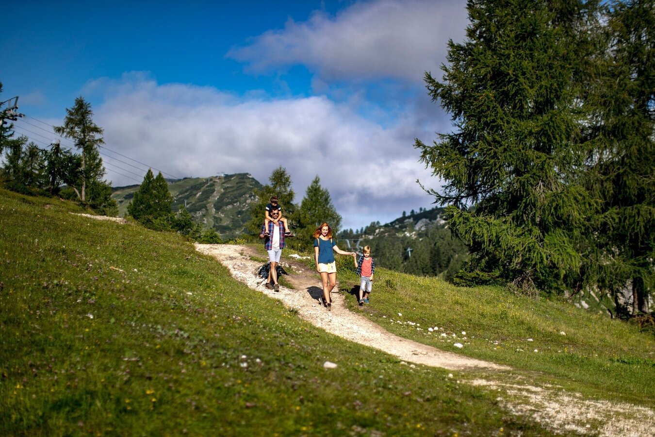
Familie am Wanderweg Tauplitzalm | © Ausseerland | Tom Lamm
3/5
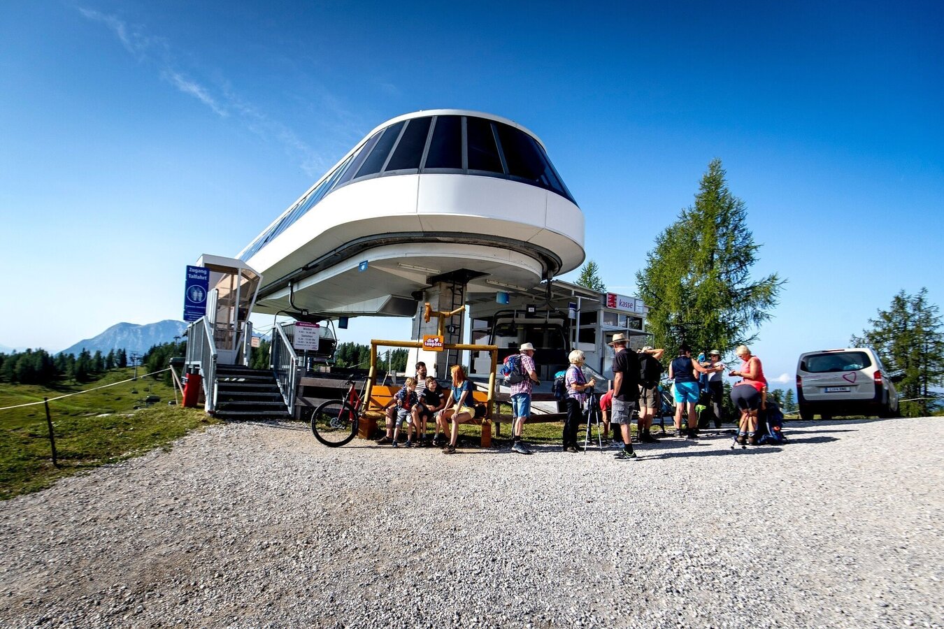
Bergstation 4er-Sesselbahn | © Ausseerland | Tom Lamm
4/5
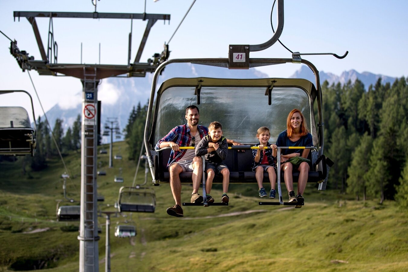
Familie auf der 4er-Sesselbahn | © Ausseerland | Tom Lamm
5/5

What the weather will be like Bad Mitterndorf (800m)
Today, 21.09.2026
Partly sunny during the day after light rain at daybreak.Morning

11°C
sr.Regenwahrscheinlichkeit
70%
sr.Windstärke
10 km/h
Noon

17°C
sr.Regenwahrscheinlichkeit
35%
sr.Windstärke
15 km/h
Night

12°C
sr.Regenwahrscheinlichkeit
10%
sr.Windstärke
5 km/h
Tomorrow, 22.09.2026
Rain and rain showers will end around noon. Dry with a chance of sunny spells afterwards.Morning
7°C
sr.Regenwahrscheinlichkeit
60%
sr.Windstärke
5 km/h
Noon

14°C
sr.Regenwahrscheinlichkeit
60%
sr.Windstärke
15 km/h
Night
9°C
sr.Regenwahrscheinlichkeit
45%
sr.Windstärke
5 km/h
Forecast
23.09.2026

4°C
18°C
24.09.2026
3°C
17°C
25.09.2026
6°C
17°C
