


Open
Salt Trail - Stage 1 from Altaussee to Hallstatt
Characteristics
SkillThe tour in numbers
Level of difficulty
medium
Route
30,2 km
Time
8:10 h
Uphill
340 hm
Downhill
758 hm
Highest point
942 m
Hike from Altaussee to Hallstatt.
Best season
January
February
March
April
May
June
July
August
September
October
November
December
More information
The best way to plan your journey to Altaussee is with google.at/maps.
There are several paid parking spaces available in Altaussee.
There are several paid parking spaces available in Altaussee.
The start is at the Salzwelten in Altaussee. The route leads along the Altausseer Traun to Bad Aussee and on to the train station.
The route continues through the wild and romantic Koppental valley to Obertraun and along the southern shore of Lake Hallstatt to Hallstatt.
The route continues through the wild and romantic Koppental valley to Obertraun and along the southern shore of Lake Hallstatt to Hallstatt.
Emergency call mountain rescue: 140
Tip for reporting an emergency - give answers to the six W questions:
- What has happened?
- How many injured?
- Where did the accident happen? (GPS coordinates if available)
- Who is reporting? (callback number)
- When did the accident happen?
- Weather at the scene of the accident?
A specially designed website is available for the other stages.
Tourist Office Ausseerland Salzkammergut
Information office Altaussee
Fischerndorf 61
8992 Altaussee
+43 3622 716 43
Send e-mail
Website
Information office Altaussee
Fischerndorf 61
8992 Altaussee
+43 3622 716 43
Send e-mail
Website
Map & downloads
Gallery
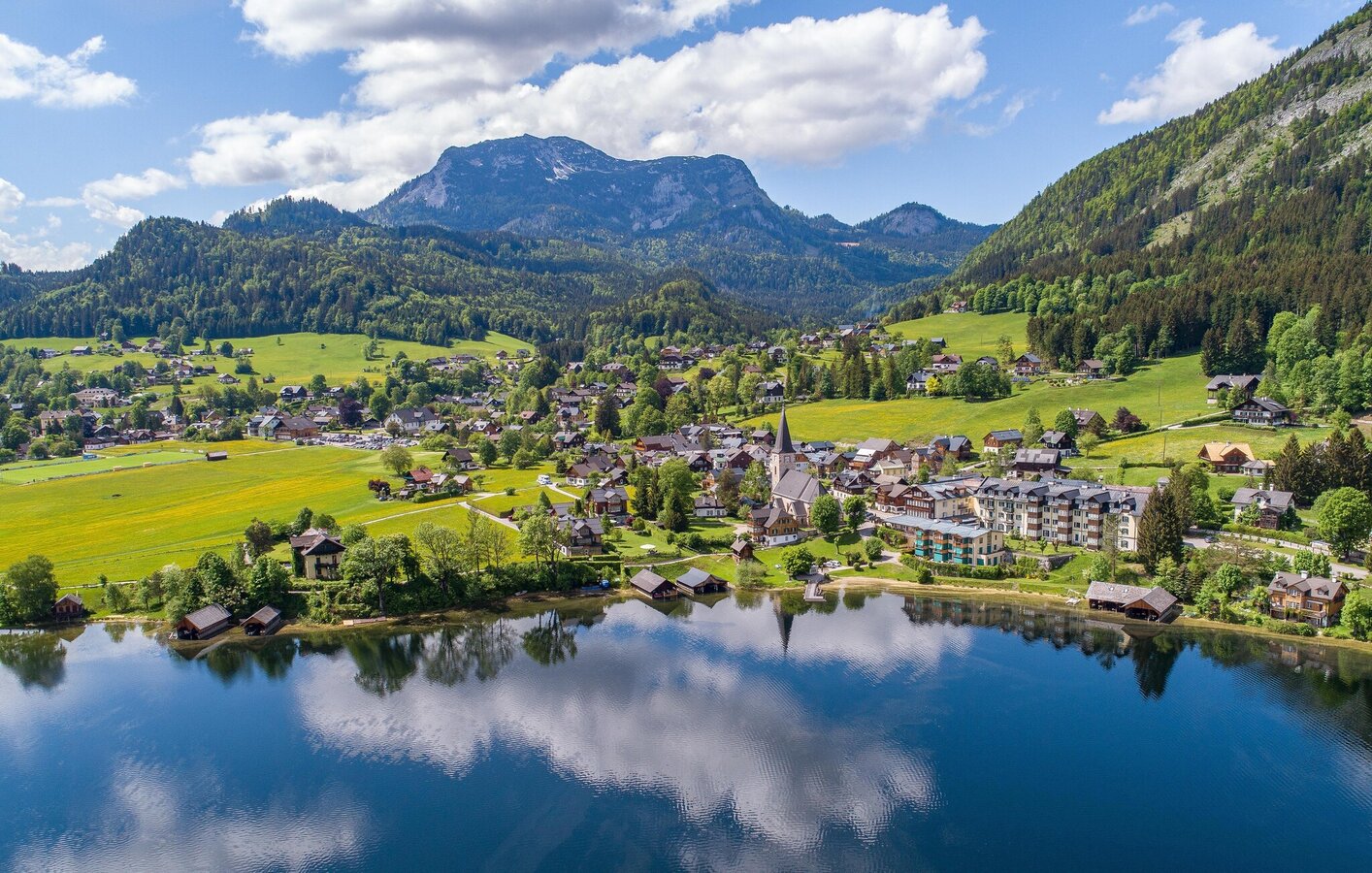
Altausseer See with church | © Drohnenfotos.at-Andreas Tischler | Drohnenfotos.at-Andreas Tischler
1/2
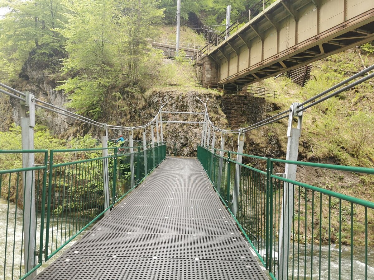
Brücke über die Koppentraun | © Ausseerland | Theresa Schwaiger
2/2

What the weather will be like Altaussee (727m)
Today, 20.09.2026
Dry and partly sunny throughout the day, with cloudy periods from time to time.Morning

10°C
sr.Regenwahrscheinlichkeit
0%
sr.Windstärke
0 km/h
Noon
21°C
sr.Regenwahrscheinlichkeit
0%
sr.Windstärke
5 km/h
Night

16°C
sr.Regenwahrscheinlichkeit
0%
sr.Windstärke
5 km/h
Tomorrow, 21.09.2026
Light morning rain, but slowly becoming sunny during the day.Morning

11°C
sr.Regenwahrscheinlichkeit
70%
sr.Windstärke
5 km/h
Noon
15°C
sr.Regenwahrscheinlichkeit
60%
sr.Windstärke
10 km/h
Night
12°C
sr.Regenwahrscheinlichkeit
10%
sr.Windstärke
5 km/h
Forecast
22.09.2026
7°C
16°C
23.09.2026

5°C
18°C
24.09.2026

6°C
17°C
