


Open
BergeSeen Trail 17: Bad Aussee - Bad Mitterndorf
Characteristics
SkillThe tour in numbers
Level of difficulty
easy
Route
20,8 km
Time
5:50 h
Uphill
485 hm
Downhill
324 hm
Highest point
1007 m
Long but easy valley and meadow hike along forestry roads and marked forest trails.
A scenically varied stage in the Ausseerland region on the BergeSeen Trail from Bad Aussee to Bad Mitterndorf. The trail leads via Lake Ödensee to the Strumernquellen springs and through the Steinitzenalm to the town center. An ideal combination of peaceful enjoyment of nature and well-maintained infrastructure.
Best season
January
February
March
April
May
June
July
August
September
October
November
December
More information
The best way to plan your journey to Bad Aussee is with google.at/maps.
Paid parking spaces are available in the center of Bad Aussee.
The 17th stage of the BergeSeen Trail connects two important places in the Ausseerland region and leads through flat valleys and gentle alpine pastures. On forest roads, marked forest paths, and historic local connections, you hike along the Traunarmen, past the Ödensee, the Strumernquellen, and through the charming Steinitzenalm to Bad Mitterndorf. The route impresses with its scenic diversity and insights into the geology and hydrology of the Salzkammergut.
Route description
In the spa gardens of Bad Aussee, you pass the Archduke Johann monument to the geographical center of Austria, then over the Mercedes Bridge (confluence of the Altausseer and Grundlseer Traun) to the parking lot on Untere Pratergasse. Continue over the E-Werk bridge, turn right after the sign “Zum Bahnhof” to the E-Werk footbridge, which leads to the Hugo Cordignano promenade. Continue under the bypass to Bahnhofstraße, where you cross the Beck bridge. Via Öfnerstraße and the lower Bahnhof promenade, you reach the bridge at Bad Aussee railway station. Walking time: approx. 30 min.
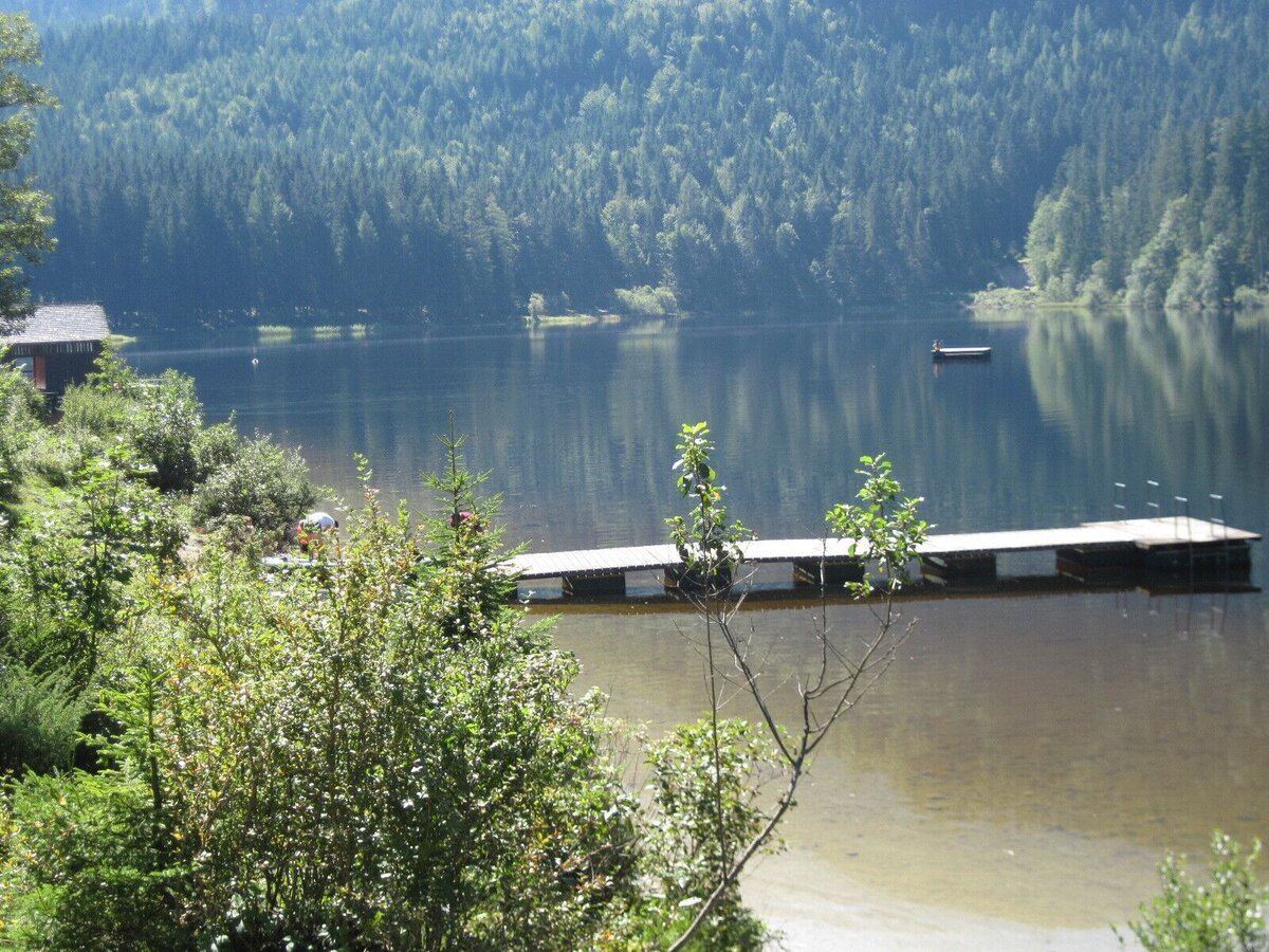
Head back towards the center, then turn right before the bridge over the Kainischtraun onto a path leading to the bridge at the Kalßwirt inn. Continue following the signs for “Ödensee,” past the recycling center, uphill through the forest to the gravel pit, and on to the road towards Ödensee. This leads to the parking lot at the Kohlröserlhütte restaurant on Ödensee.
Walking time: approx. 2:30 h
It is possible to take a detour around the lake (approx. 45 min.). However, the Salzkammergut Mountains and Lakes Trail leads directly from the Kohlröserlhütte restaurant over the Ödenseer Traun river outlet, then right along the circular trail to the eastern shore and on to the forest road.
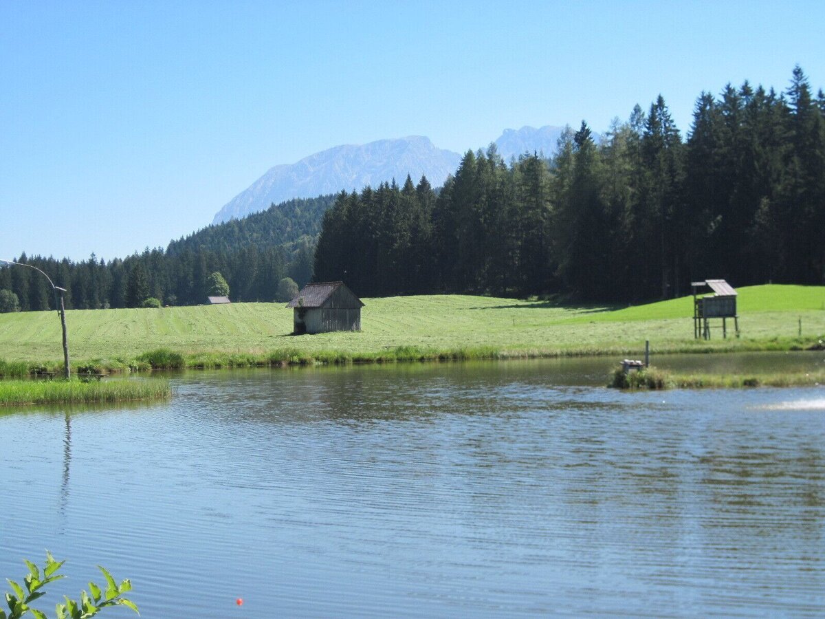
There, turn left onto Alte Ödenseestraße, keep right at the fork, then keep right at a meadow and follow the signs for “Mühlreith, Karstquellen Strumern.” This is followed by a narrow hiking trail that soon leads down to the forest road. In Eiblgraben, turn left, past a shallow lake and the karst springs of Strumern. The route leads to the village of Mühlreith. Walking time: approx. 1:30 h
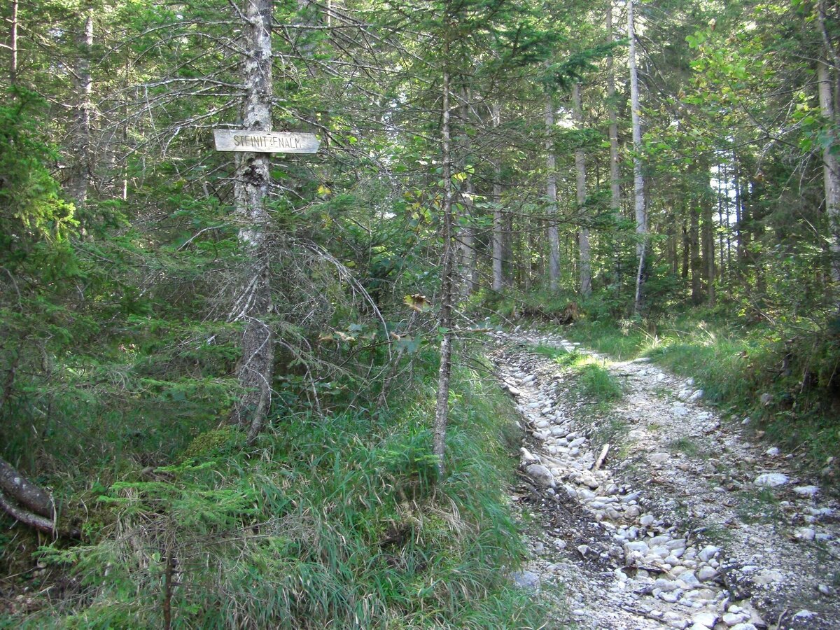
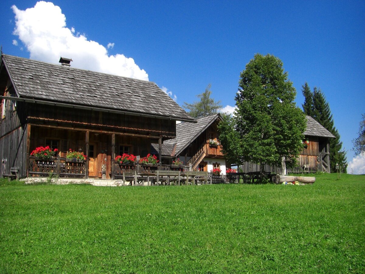
In Mühlreith, turn right towards Steinitzenalm via Stiegerangerweg. After the turnoff to the Stieger snack bar, turn right onto the forest road over the Riedlbach and Riedlmoos to Gschwendwiese. After 2 km, you will reach the Christof'nhütte on the Steinitzenalm.
Walking time: approx. 0:45 h
From there, it's a short climb uphill, then left along the edge of the alpine pasture, through the wooded Almgraben down to the valley floor. Take the Pulverstampfweg trail over the Salza river to Neuhofen. After passing under the railway and bypass, you reach the center of Bad Mitterndorf with the tourist office through the spa gardens. The well-known hiking route “From Glacier to Wine” also crosses here. Walking time: approx. 0:45 h
- In alpine terrain, be aware of the danger of falling rocks.
- Through early summer, you may encounter steep snowfields or firn gullies – especially during icy conditions, there is an acute risk of falling and thus fatal injury!
- Due to storm damage, forestry work or construction work, individual trail sections may be difficult or impassable at times.
- Cows in the alpine meadows are often curious. Because they are nursing mothers, they develop a strong tendency to protect their calves. Therefore, move through cow pastures quietly, keep at least 20 metres of distance to the animals and never pet calves! In the case of threatening behaviour (pawing, stamping) slowly back away (do not turn your back). Keep dogs on a leash. They must not bark at or chase cows. In the case of an attack, the dog must be released from the leash.
For all stages, you will need hiking or mountain boots with treaded rubber soles as well as wind- and rainproof clothing. A change of clothes and a small first-aid kit should also be included in your backpack. The amount of provisions you should pack depends on the number of available rest stops. In any case, you should always take along plenty to drink. Telescopic poles are helpful, especially when walking downhill.
This stage is a quiet but scenically varied day of hiking in the Ausseerland region with numerous opportunities to stop and rest. Historic sites, water features, alpine pastures, and karst landscapes make this route particularly diverse. The free Ausseerland hiking map and our hiking map shop will help you plan your tour in detail.
Tourism Association Ausseerland Salzkammergut
Information Office Bad Aussee
Pratergasse 388
8990 Bad Aussee
+43 3622 54040
Send e-mail
Website
Map & downloads
Gallery
bergeseen trail 17: bad aussee - bad mitterndorf_img_23018949 | © Salzkammergut - BergeSeen | Salzkammergut Tourismus
1/5
bergeseen trail 17: bad aussee - bad mitterndorf_img_23018948 | © Salzkammergut - BergeSeen | Salzkammergut Tourismus
2/5
bergeseen trail 17: bad aussee - bad mitterndorf_img_23018951 | © Salzkammergut - BergeSeen | Salzkammergut Tourismus
3/5
bergeseen trail 17: bad aussee - bad mitterndorf_img_23018947 | © Salzkammergut - BergeSeen | Salzkammergut Tourismus
4/5
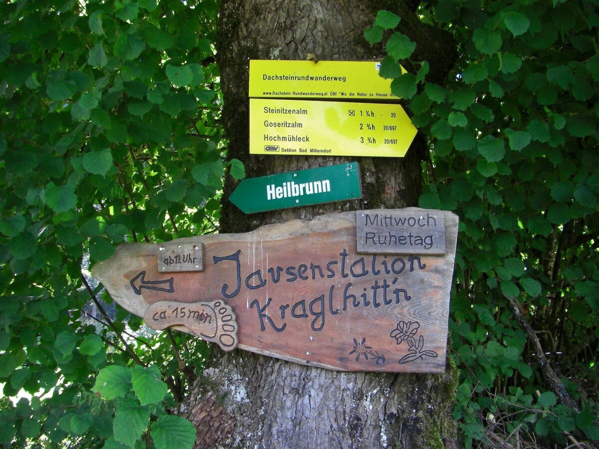
bergeseen trail 17: bad aussee - bad mitterndorf_img_23018946 | © Salzkammergut - BergeSeen | Salzkammergut Tourismus
5/5

What the weather will be like Bad Aussee (652m)
Today, 21.09.2026
A fairly sunny day after some rain in the early morning.Morning

11°C
sr.Regenwahrscheinlichkeit
75%
sr.Windstärke
5 km/h
Noon

16°C
sr.Regenwahrscheinlichkeit
45%
sr.Windstärke
10 km/h
Night

12°C
sr.Regenwahrscheinlichkeit
5%
sr.Windstärke
5 km/h
Tomorrow, 22.09.2026
Rain and rain showers will end around noon. Dry with a chance of sunny spells afterwards.Morning

8°C
sr.Regenwahrscheinlichkeit
60%
sr.Windstärke
5 km/h
Noon

14°C
sr.Regenwahrscheinlichkeit
60%
sr.Windstärke
5 km/h
Night
10°C
sr.Regenwahrscheinlichkeit
40%
sr.Windstärke
5 km/h
Forecast
23.09.2026

5°C
18°C
24.09.2026
6°C
16°C
25.09.2026
8°C
17°C
