


Rittisberg Walking Tour
Accessible by public transport- Public bus (within 15 minutes walking distance from starting point)
- Hiking bus (within 15 minutes walking distance from starting point)
Characteristics
SkillThe tour in numbers
Level of difficulty
easy
Route
13,3 km
Time
3:00 h
Uphill
450 hm
Downhill
451 hm
Highest point
1555 m
A wonderful walking tour at Rittisberg in Pichl-Vorberg, which is also a good hike for families with small kids.
The loop road starts gently uphill to the popular inns of Halseralm and Sonnenalm. Through woods and meadows, the trail leads uphill to the summit of Rittisberg. From the summit cross, we enjoy the panoramic view of the Dachstein's south face, which seems to be almost within reach. Soon after we get to the Rittisberg-Stadl. The view of the Ennstal is a special treat here.
Best season
January
February
March
April
May
June
July
August
September
October
November
December
More information
Exit from federal highway B320 in Pichl and continue on Vorbergstraße road towards Pichl-Vorberg. Pass by Hotel Steirerhof and keep on going to the hiking trail head at Pension Arnika.
Parking is available at the hiking trail head.
Parking is available at the hiking trail head.
From the hiking trail head at pension Arnika you follow a forest road and reach the trail junction with "Rittisbergrundweg" (trail n° 5) after a couple of minutes. You make a left here and continue along trail n° 5 to Halseralm and Sonnenalm inns, two of the family-friendly refreshmentstops and restaurants right at the beginning of the tour.
From the Sonnenalm you now follow the signage towards "Rittisberg Gipfelkreuz" - the summit of Rittisberg. At first you continue via a forest road and then you can choose between a beautiful forest trail or the forest road (suitable for prams) as you ascend through the mountain forest to the summit. Again and again you are rewarded with panoramic views to the Schladminger Tauern mountains and Reiteralm. At the mighty cross on the summit of Rittisberg you then enjoy the stunning view to the South face of the Dachstein.
From here you continue East - on a quite flat trail - to the Rittisstadl inn, where kids will have a lot of fun at the huge playground "I love Rittisberg" just next to the inn. From there you follow the fairy tale trail Rittisberg downhill and after about 25 minutes turn off right on the Rittisberg Walking Tour. The forest trail now leads back to Rittisbergrunde (trail n° 5), where you make a left and after just a few minutes reach Halseralm again. From there continue to your starting point.
Changes in weather patterns, quick falls in temperature, thunderstorms, wind, fog and snow are some of the dangers that can be encountered on a hiking tour. Hosts of alpine huts and mountain refuges have a lot of experience in the mountains and can give good advice about weather and the trails. Poor equipment, overestimation of one's own capabilities, carelessness, poor personal constitution and/or wrong judgement can lead to critical situations. In case of thunderstorms: avoid summits, ridges and steel ropes.
GPS data and orienteering
Available GPS data - just like hiking maps - is only a guidance for orientation and can never depict a trail exactly with all its details. Especially at dangerous spots it is essential to judge on site how to proceed.
In an emergency please call:
- 140 - for Alpine emergencies (all over Austria)
- 112 - European GSM emergency number
The entire trail is suitable for prams.
With the buses of "Ramsauer Verkehrsbetriebe" from Schladming to Ramsau - change to the buses towards "Vorberg" to the bus stop "Arnika", where the tour starts.
- Bus schedule at www.rvb.at
Tourist information: www.schladming.com
Information about bus schedules: www.rvb.at
- Hiking map ‘Hiking WEST’ available at the information offices in the region.
- Schladming hiking map, 1:25,000, available at the Schladming information office.
- Hiking map Schladming-Dachstein, 1:50,000, available at the information offices in the region.
- Hiking guide Schladming-Dachstein by Herbert Raffalt, available at the information offices in the region.
Map & downloads
Gallery
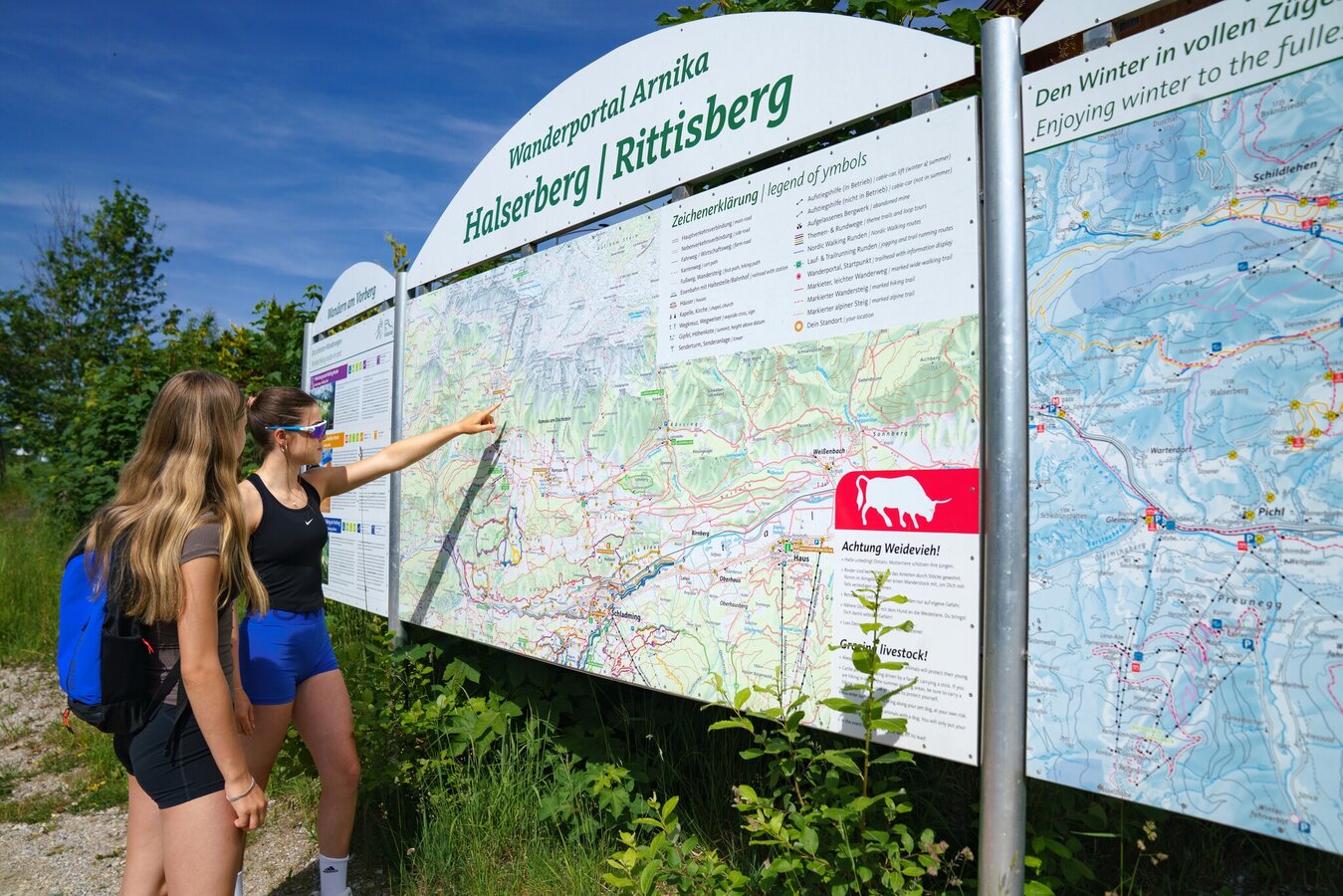
Halserberg Rittisberg hiking portal | © Christine Höflehner | Christine Höflehner
1/10
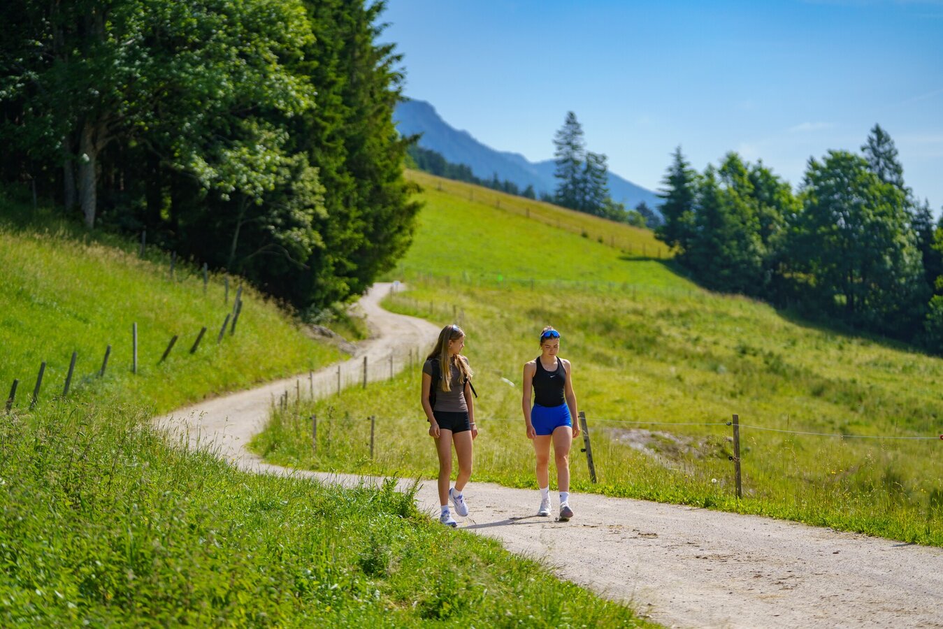
Hike on the Halserberg | © Christine Höflehner | Christine Höflehner
2/10
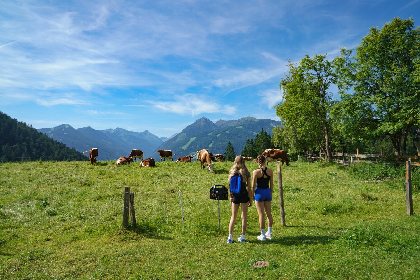
Hikers on the alpine pasture | © Christine Höflehner | Christine Höflehner
3/10
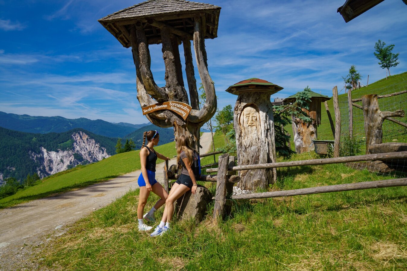
Entrance to the Sonnenalm Naturweg | © Christine Höflehner | Christine Höflehner
4/10
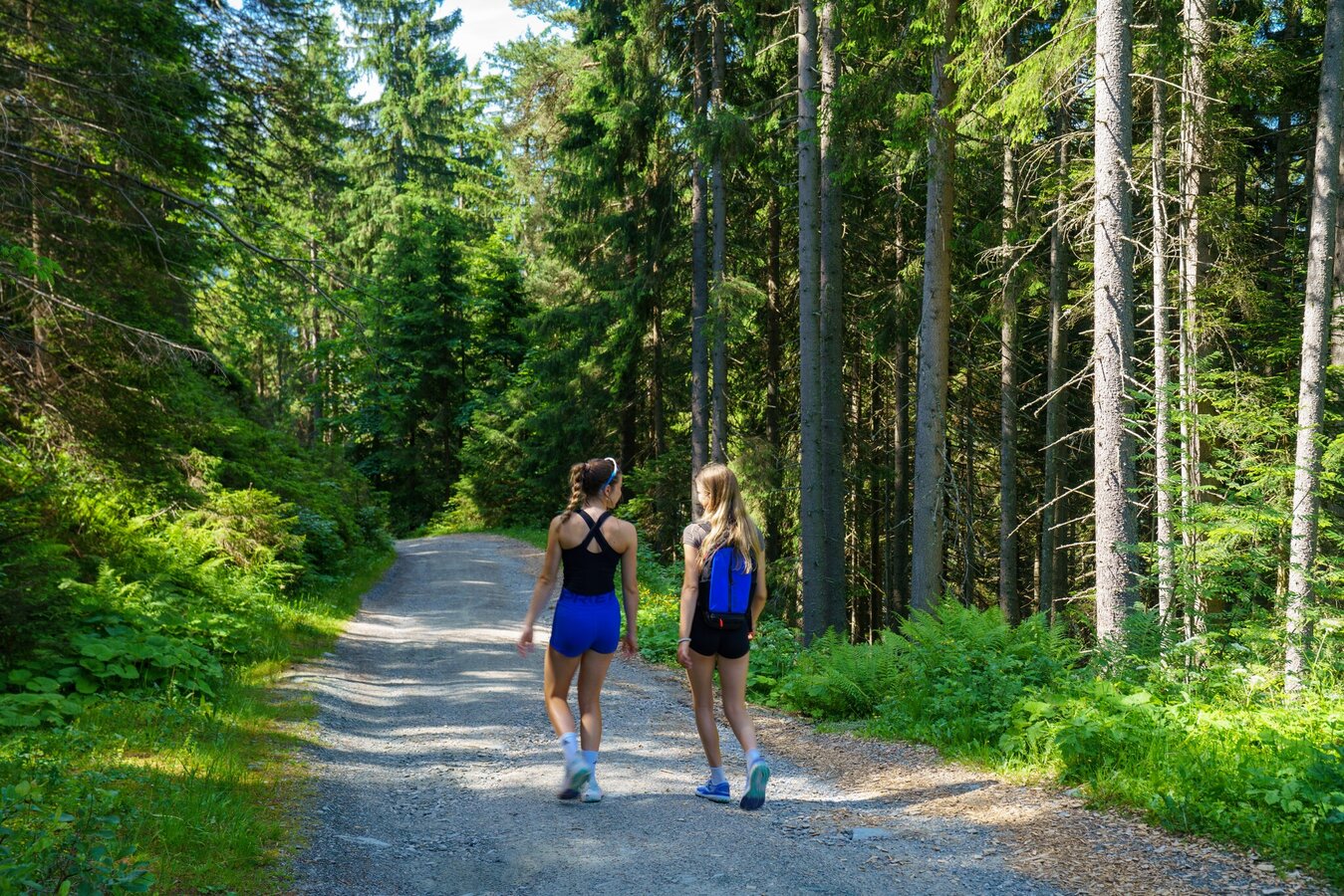
Hike on the Halserberg | © Christine Höflehner | Christine Höflehner
5/10
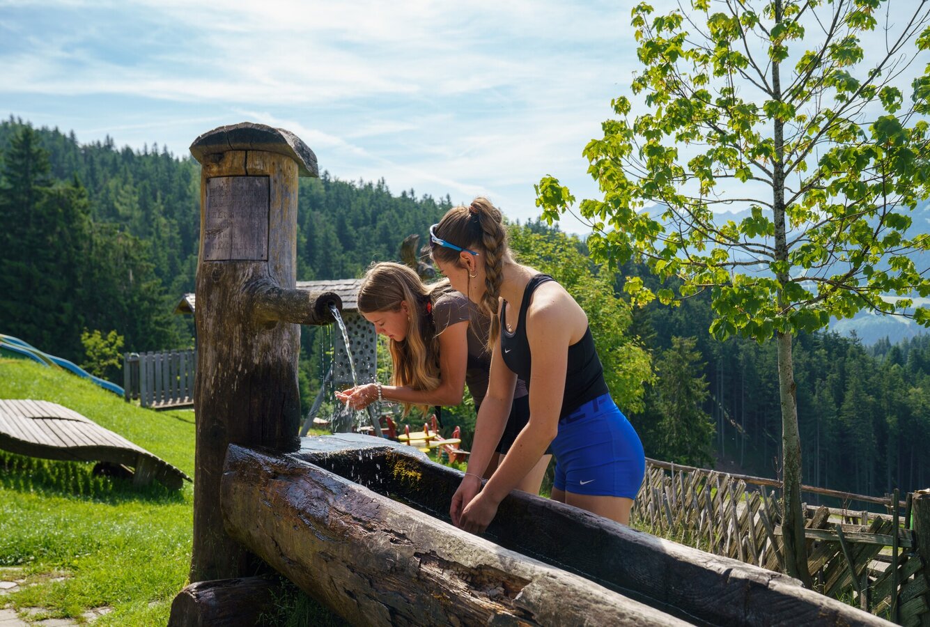
Wooden fountain at Rittisberg | © Christine Höflehner | Christine Höflehner
6/10
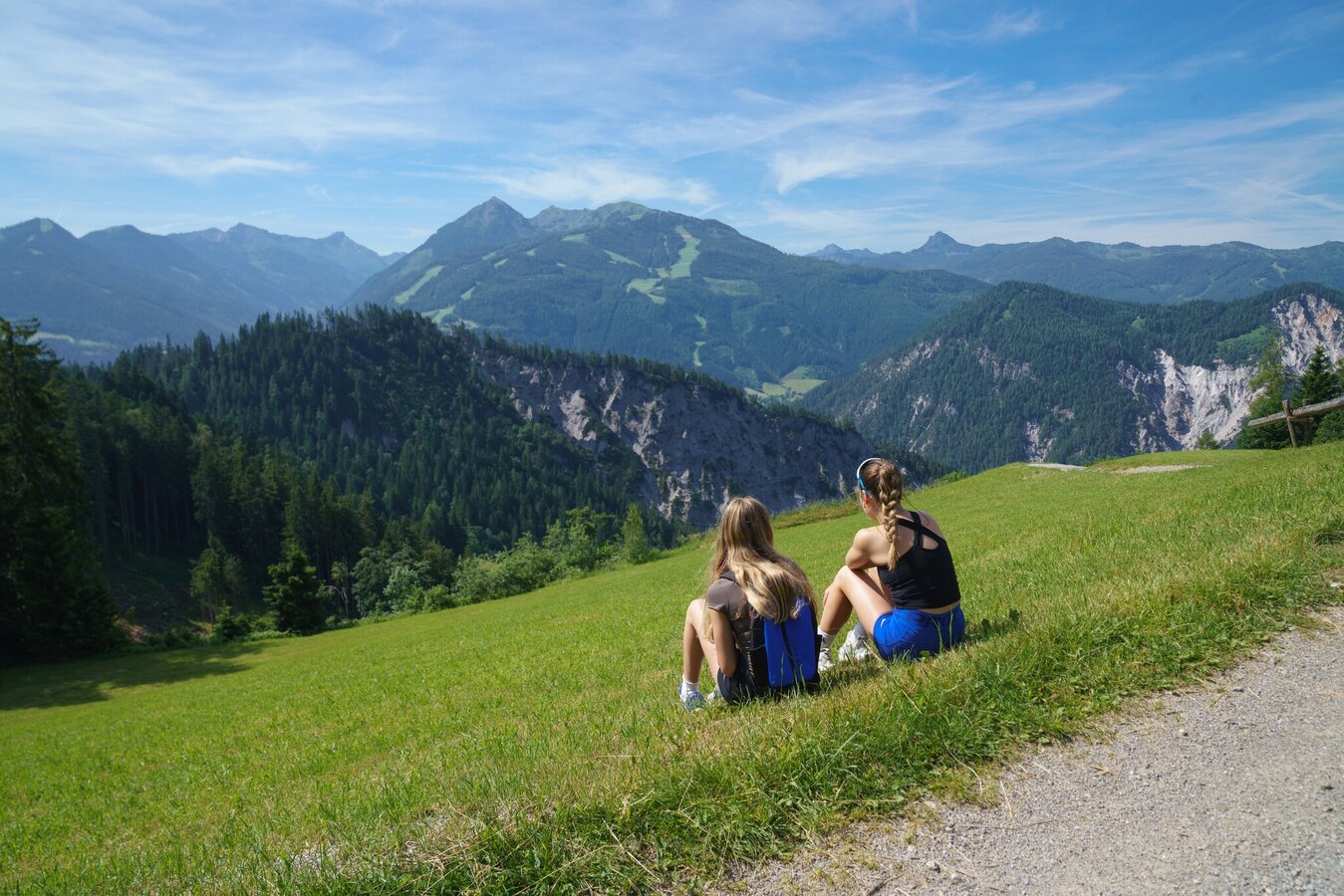
Rest at the Halserweg | © Christine Höflehner | Christine Höflehner
7/10
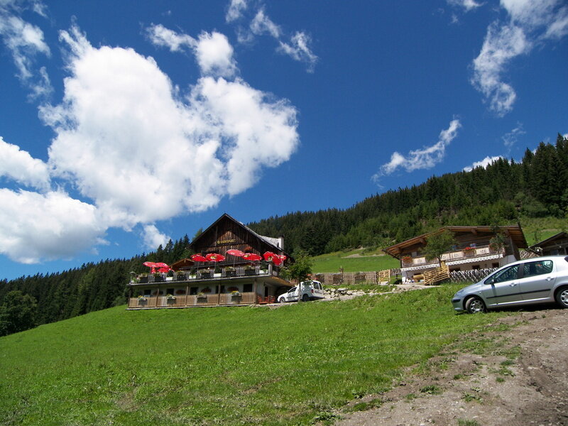
Sonnenalm | © Erlebnisregion Schladming-Dachstein | Schladming Dachstein
8/10
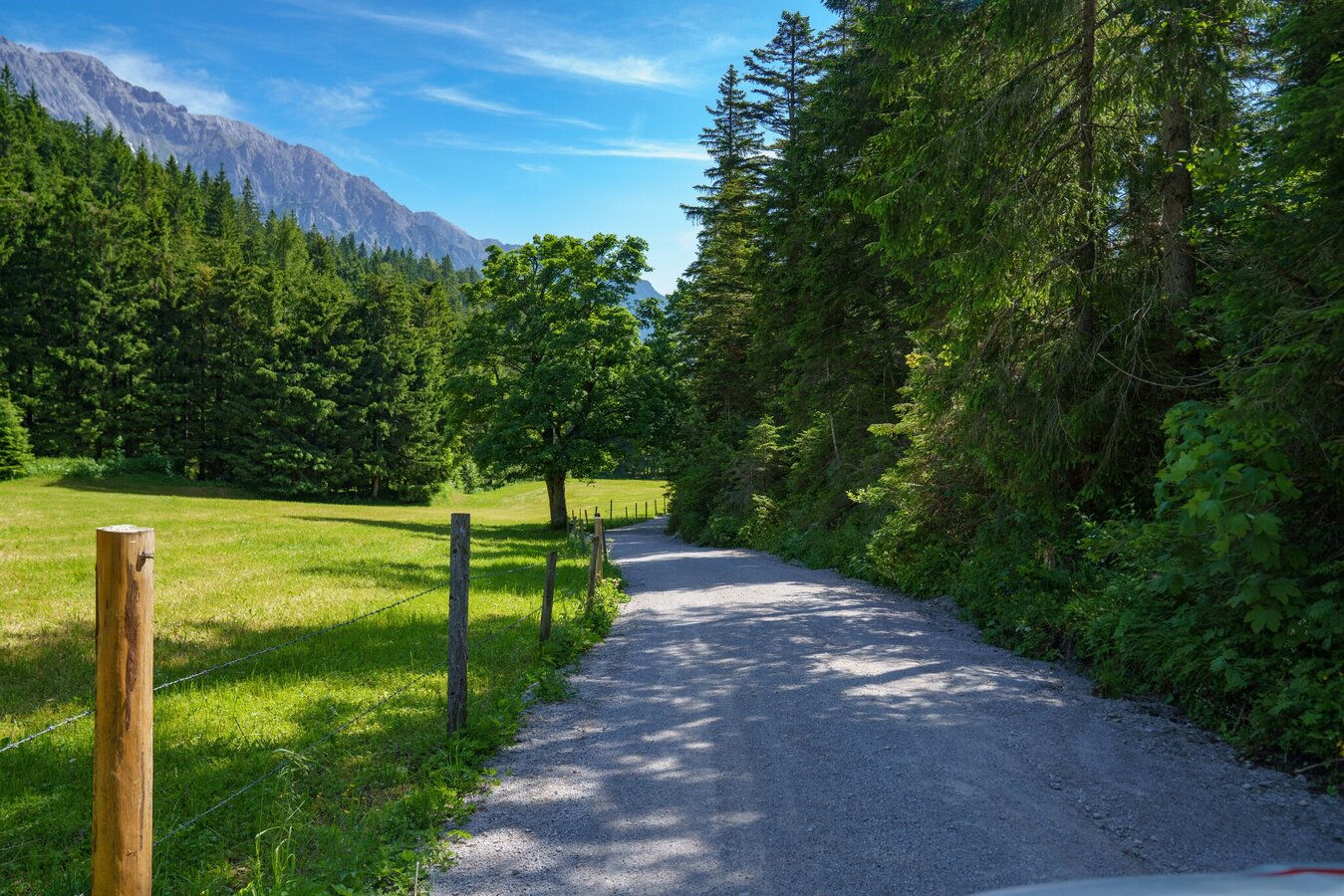
Hiking trail on the Halserberg | © Christine Höflehner | Christine Höflehner
9/10
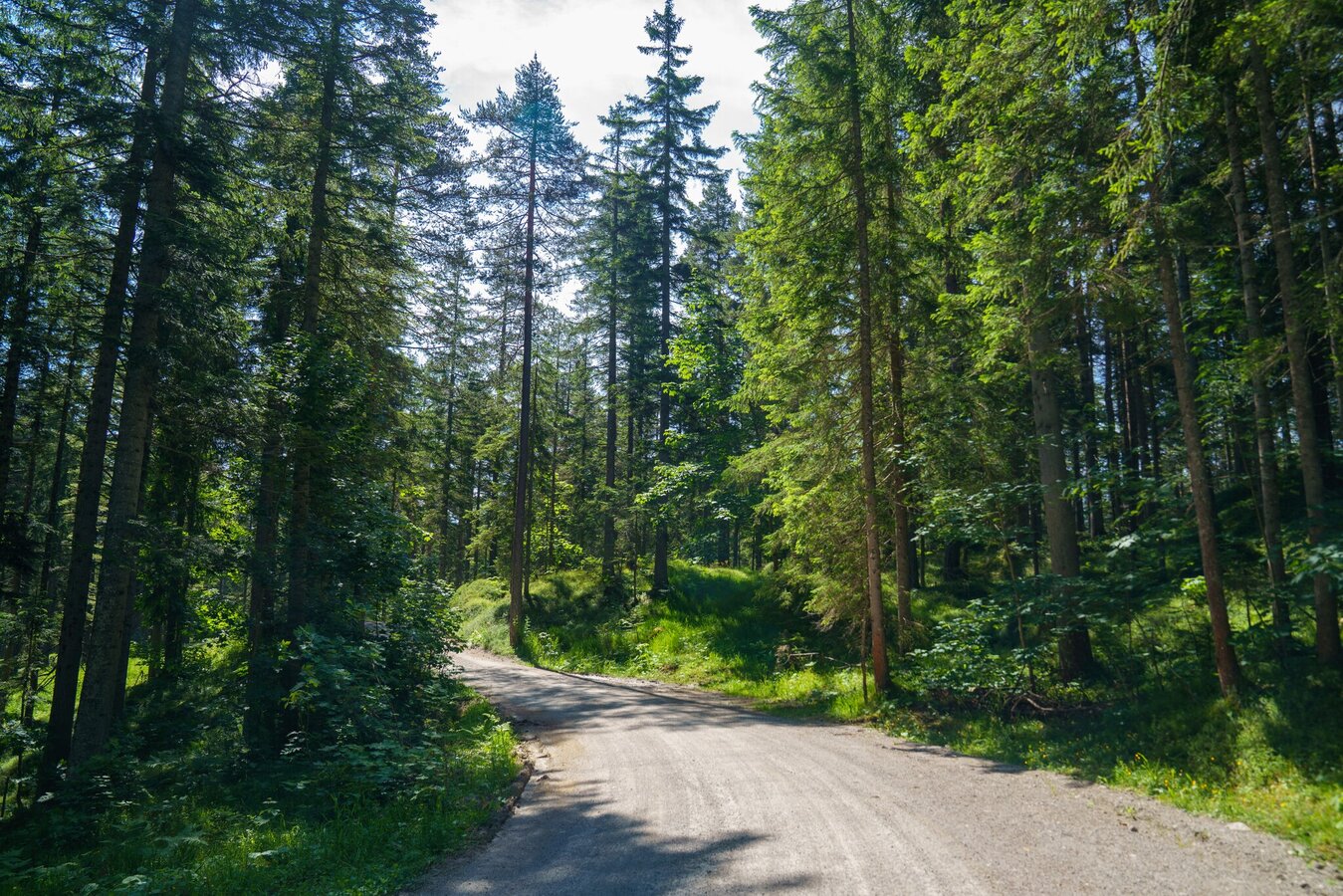
Forest path at Halserberg | © Christine Höflehner | Christine Höflehner
10/10

What the weather will be like Schladming (740m)
Today, 16.10.2026
Dry and sunny throughout the day with hardly any clouds.Morning

7°C
sr.Regenwahrscheinlichkeit
0%
sr.Windstärke
0 km/h
Noon
17°C
sr.Regenwahrscheinlichkeit
0%
sr.Windstärke
5 km/h
Night
8°C
sr.Regenwahrscheinlichkeit
0%
sr.Windstärke
0 km/h
Tomorrow, 17.10.2026
Morning clouds will clear gradually. Then frequent sunny periods.Morning

3°C
sr.Regenwahrscheinlichkeit
0%
sr.Windstärke
0 km/h
Noon

15°C
sr.Regenwahrscheinlichkeit
0%
sr.Windstärke
5 km/h
Night

11°C
sr.Regenwahrscheinlichkeit
10%
sr.Windstärke
0 km/h
Forecast
18.10.2026
5°C
16°C
19.10.2026
3°C
16°C
20.10.2026
4°C
16°C
