


Hochmölbinghütte
Characteristics
SkillThe tour in numbers
Level of difficulty
medium
Route
13,0 km
Time
5:00 h
Uphill
690 hm
Downhill
690 hm
Highest point
1763 m
In this tour you have all fantastic hikingthing's: landscape, view, eating, summit-picture......
GOD BE THANKFUL. Hike on forest and woodland paths via Schönmoos and the Langpoltenalm to the "Gott-sei-Dank-Bankerl". Take a short break and continue to the traditional Hochmölbinghütte. Return along the same route or via Liezener Hütte and Hochtor.
Best season
January
February
March
April
May
June
July
August
September
October
November
December
More information
Leave the Ennstal federal road (B320) in Wörschach. In the village, turn off in the direction of Wörschachberg, drive up to the Oberkogler-Alm and continue to Schönmoos.
From the Schönmoos parking lot, walk a short distance along the forest road, turn right following the markings and hike moderately uphill along forest roads, past the Hochtausing entrance, to the Langpoltenalm. Shortly after the pasture and the gate behind it, turn right and hike along a steeper path to the "Gott-sei-Dank-Bankerl". Here you should enjoy the magnificent view before you turn right, this time flat, to the managed Hochmölbinghütte. Return along the same path or across the beautiful high moor to the Liezener Hütte and over the Hochtor, steeper downhill, to the Langpoltenalm. You come back to the ascent path, on which you march back to the starting point.
You can sleep on the hochmölbinghütte http://www.hochmoelbinghuette.at/
You can only drive with a bus to Wörschach.
To Wörschachmoutain is no bus driving.
Free Parking Schönmoos
Tourist information: www.schladming-dachstein.at
Schladming-Dachstein Tourist Office
Ramsauerstraße 756
8970 Schladming
T: +43 3687 23310
info@schladming-dachstein.at
- SCHLADMING-DACHSTEIN Hiking EAST. Available free of charge from tourist offices and accommodation providers.
- SCHLADMING-DACHSTEIN Hiking Map 1:50,000
- KOMPASS Hiking Map 68, Ausseerland-Ennstal 1:50,000, hiking, cycling, ski touring
Map & downloads
Gallery
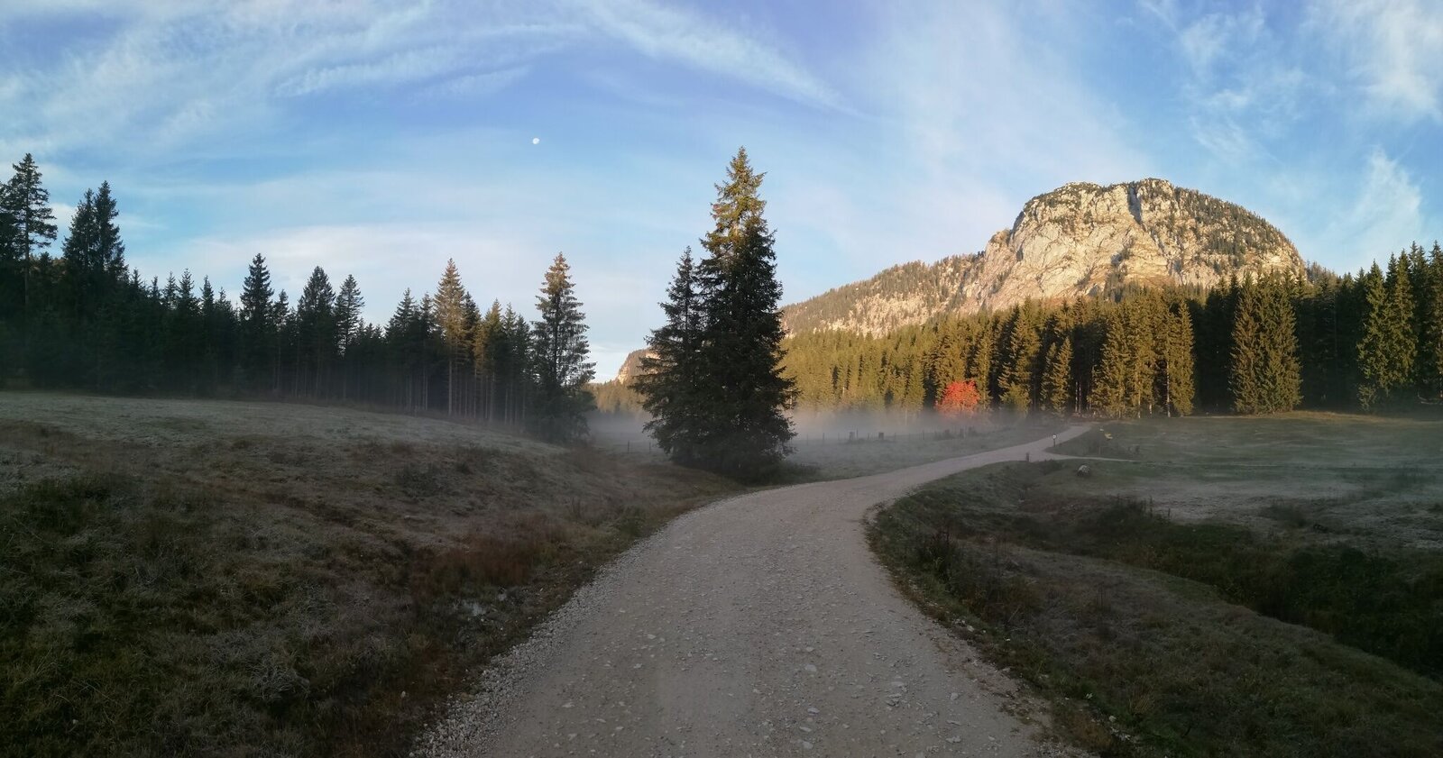
Herbstmorgen im Schönmoos | © Tourismusverband Grimming-Donnersbachtal | Roland Gutwenger
1/6
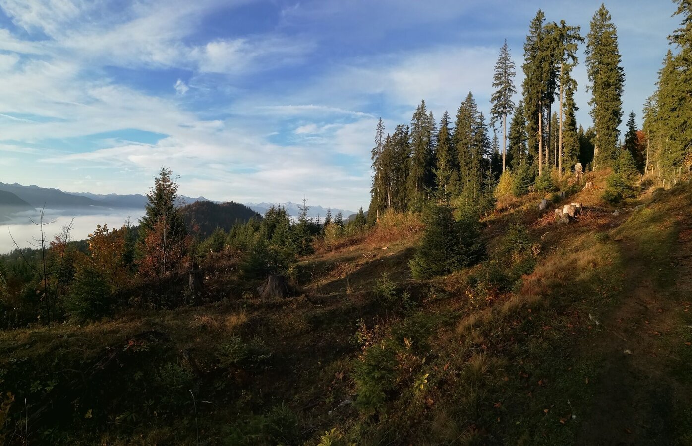
Wanderweg zur Hochmölbinghütte | © Erlebnisregion Schladming-Dachstein | Roland Gutwenger
2/6
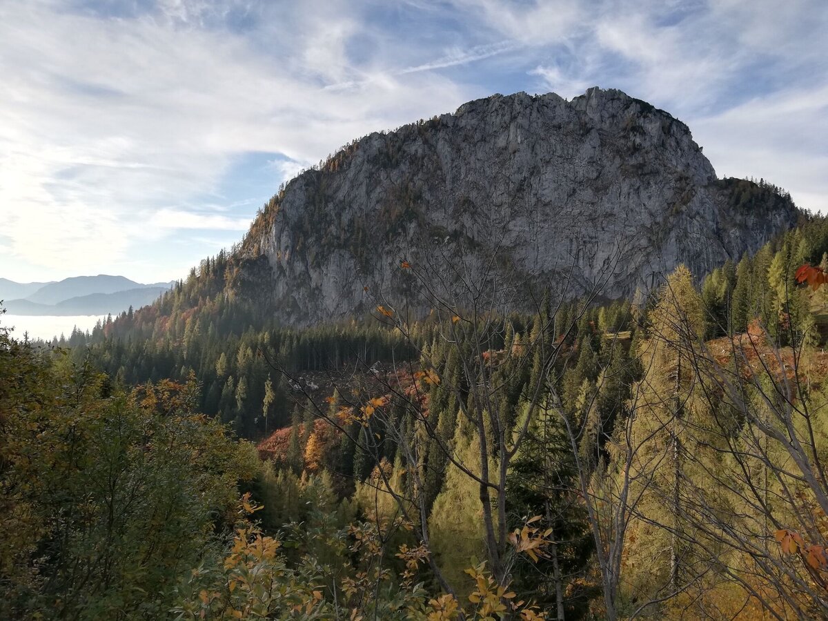
Hochtausing Nordwand. | © Erlebnisregion Schladming-Dachstein | Roland Gutwenger
3/6
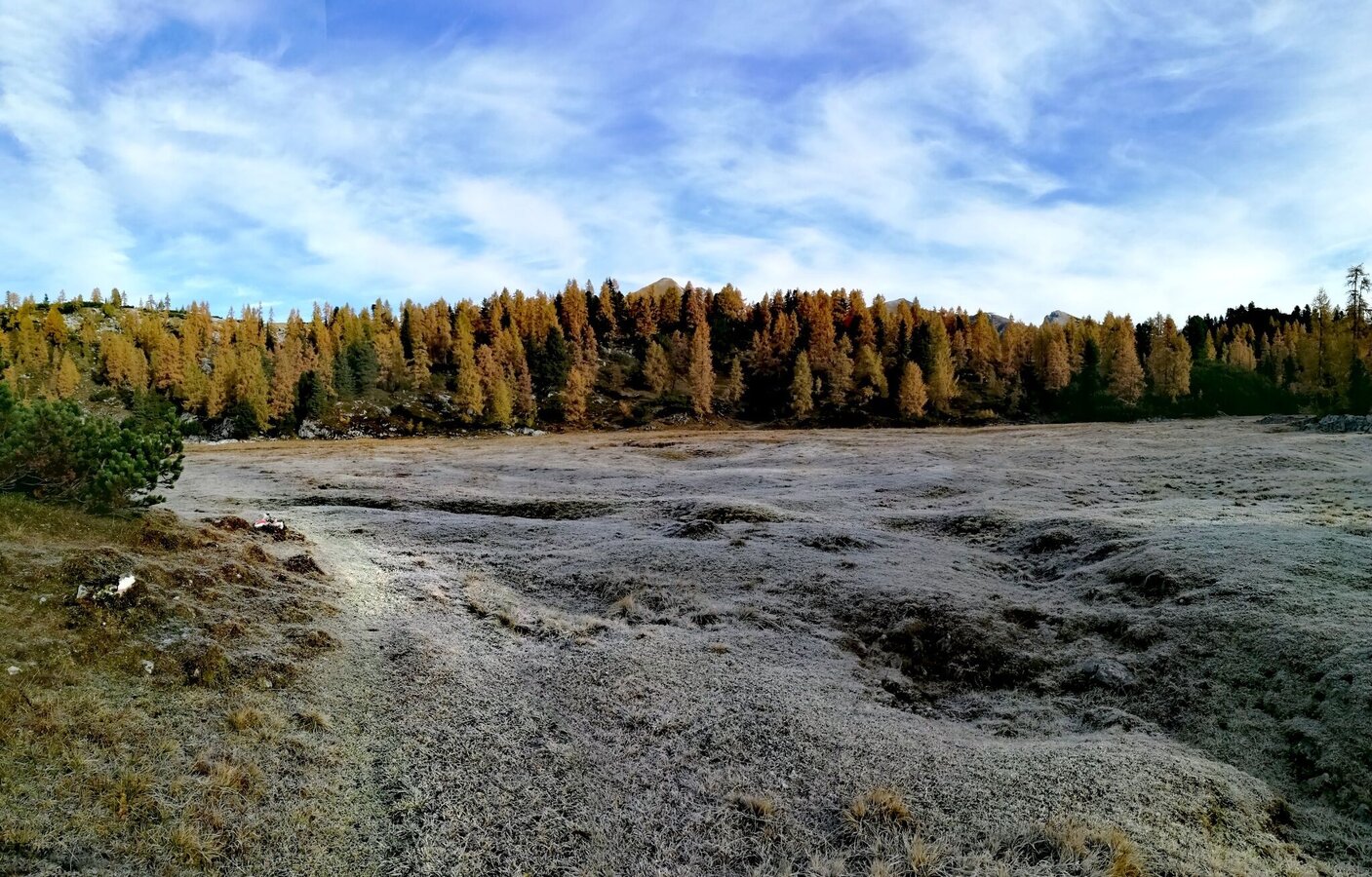
Moorlandschaft - Liezener Hütte | © Erlebnisregion Schladming-Dachstein | Roland Gutwenger
4/6
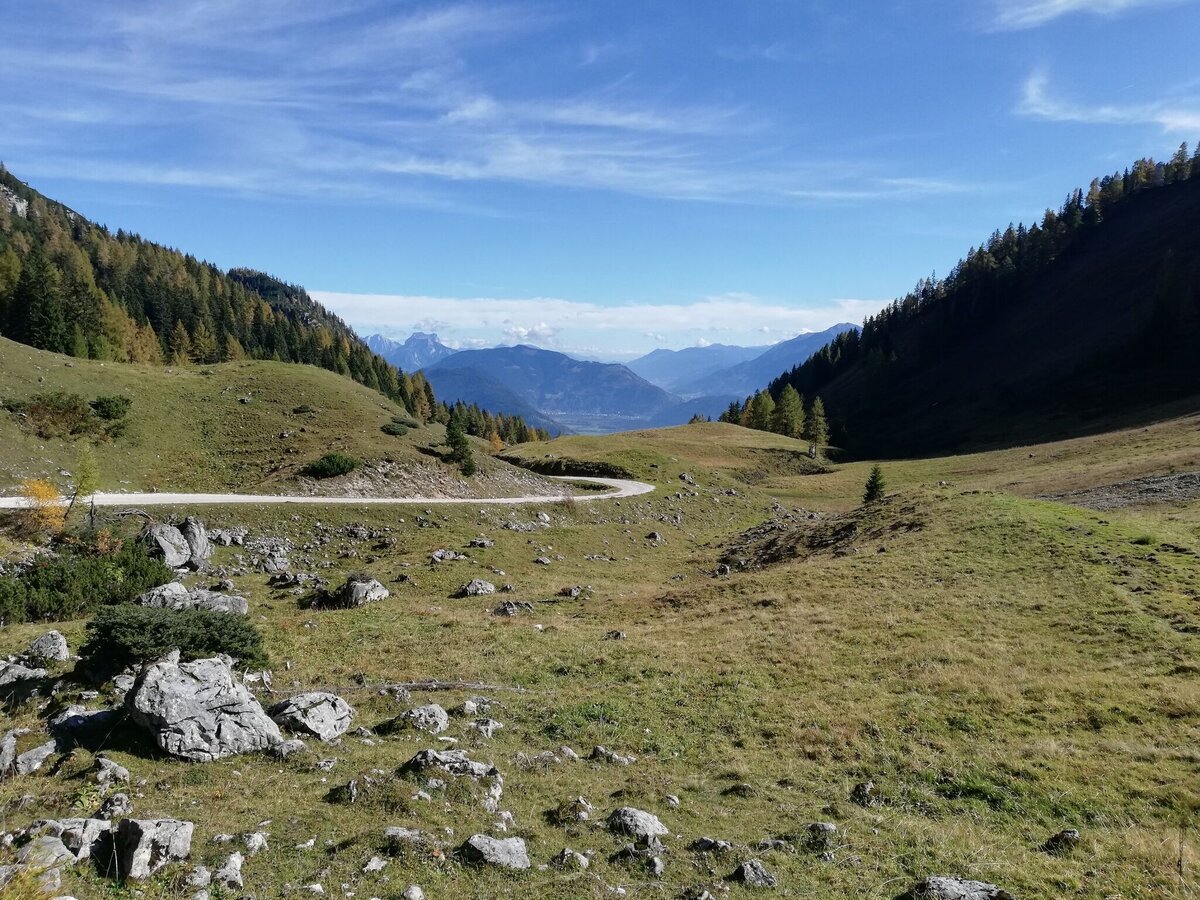
Alpine trail to the Hochmölbinghütte | © Erlebnisregion Schladming-Dachstein | Roland Gutwenger
5/6
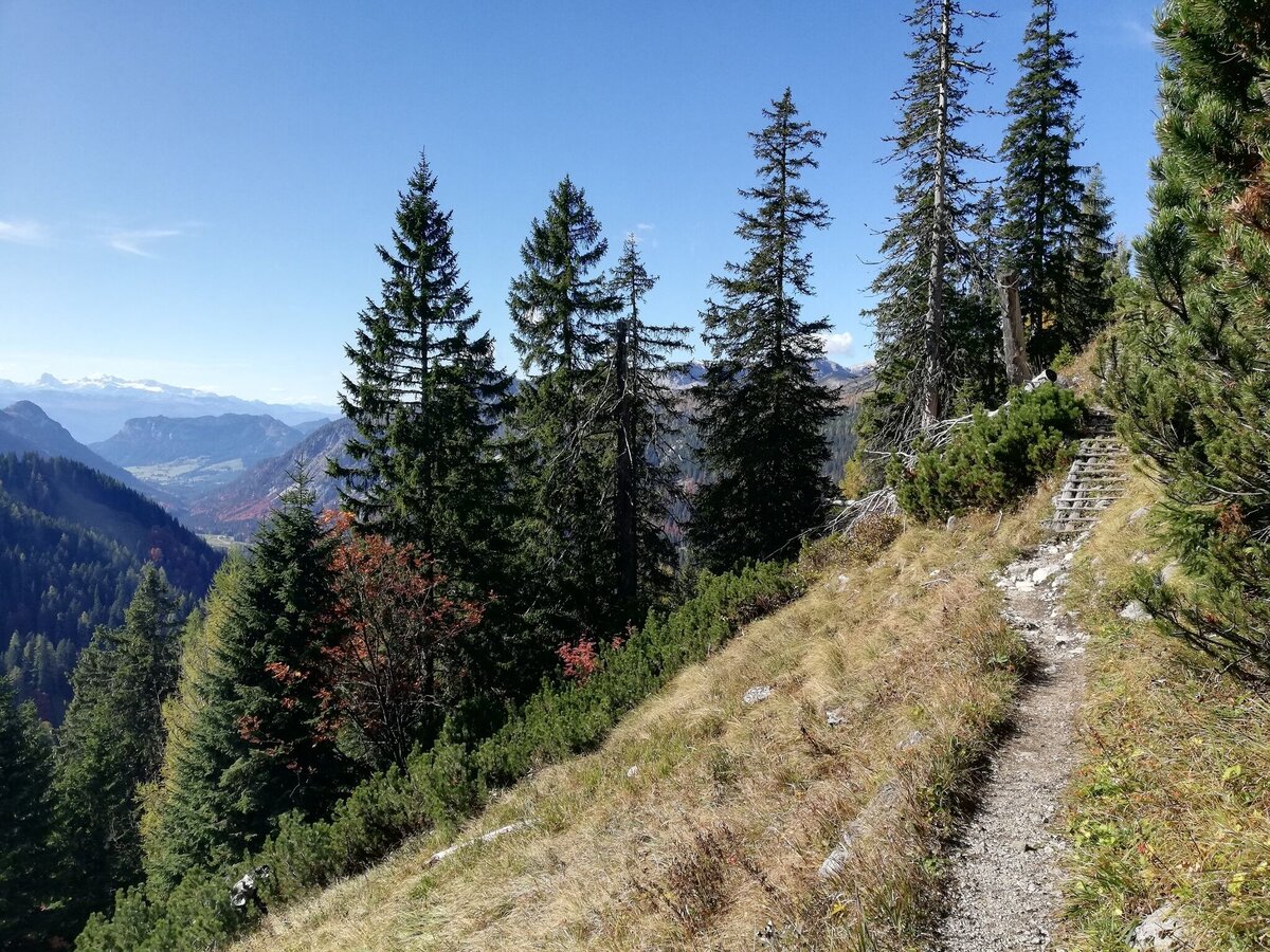
Hiking trail near the Hochmölbinghütte | © Erlebnisregion Schladming-Dachstein | Roland Gutwenger
6/6

What the weather will be like Wörschach (651m)
Today, 12.09.2026
The day starts sunny, but will be partly cloudy in the afternoon.Morning

8°C
sr.Regenwahrscheinlichkeit
0%
sr.Windstärke
5 km/h
Noon

19°C
sr.Regenwahrscheinlichkeit
0%
sr.Windstärke
10 km/h
Night

14°C
sr.Regenwahrscheinlichkeit
0%
sr.Windstärke
5 km/h
Tomorrow, 13.09.2026
Partly sunny in the morning, gradually becoming cloudy in the afternoon.Morning
9°C
sr.Regenwahrscheinlichkeit
15%
sr.Windstärke
5 km/h
Noon
20°C
sr.Regenwahrscheinlichkeit
10%
sr.Windstärke
10 km/h
Night
16°C
sr.Regenwahrscheinlichkeit
50%
sr.Windstärke
5 km/h
Forecast
14.09.2026

11°C
21°C
15.09.2026
9°C
24°C
16.09.2026
9°C
23°C
