


Open
Wörschachklamm-Trail
Accessible by public transport- Train (within 15 minutes walking distance from starting point)
- Public bus (within 15 minutes walking distance from starting point)
Characteristics
SkillThe tour in numbers
Level of difficulty
medium
Route
3,7 km
Time
0:58 h
Uphill
363 hm
Downhill
363 hm
Highest point
908 m
Imposing waterfalls and the rushing water of the wildly romantic Wörschachklamm gorge make running here a splashy affair. After leaving the gorge behind, forest trails await you all the way to the Wolkenstein castle ruins. There you will be rewarded once again by a fabulous view from the Gesäuse all the way up to the Schladminger Tauern. The Wörschachklamm is open daily from 08:00 - 18:00 until 31 October.
Best season
January
March
March
April
May
June
July
August
September
October
November
December
More information
From the B320 from both directions turn to Wörschach and follow the signs to the Wörschachklamm.
Parking directly at the starting point of the Wörschachklamm.
Parking directly at the starting point of the Wörschachklamm.
Tail number: 1
- Plan your trail in advanceInform yourself about the course of the trail and its demands
- Pay attention to weather forecasts and weather changes
- Let others know where you are going
- Adapt your equipment to the weather and the trail
- Be aware of livestock when crossing pastures
- Trail running shoes - no asphalt running shoes
- Running backpack or vest depending on the length of the tour hydration bladder or softflasks
- thin windbreaker
- first aid kit, including emergency blanket
- cell phone
- energy bar
- money
- change of shirt
- Headband
- Sunglasses
Timetable information under:
With the bus to the busstop ,,Wörschach Ort''
Tourism information: www.schladming-dachstein.at
Tourism blog: www.derbergdastal.at
www.schladming-dachstein.at/de/Sommer/Wandern-und-Bergsport/Laufen-und-Trailrunning
Tourist Office Schladming-Dachstein
Ramsauerstrasse 756
8970 Schladming
T: +43 3687 23310
Garbage on meadows and paths can not smell mountain and valley. Please take it with you. Agriculture and forestry are important partners for Berg und Tal. They allow you to walk and drive on many of their paths. Be aware that only good cooperation will guarantee your recreational enjoyment in the future.
- Trailrunning map Schladming-Dachstein: available free of charge at all info locations
- KOMPASS Hiking Map 68, Ausseerland-Ennstal 1:50.000, hiking, biking, ski touring.
Map & downloads
Gallery
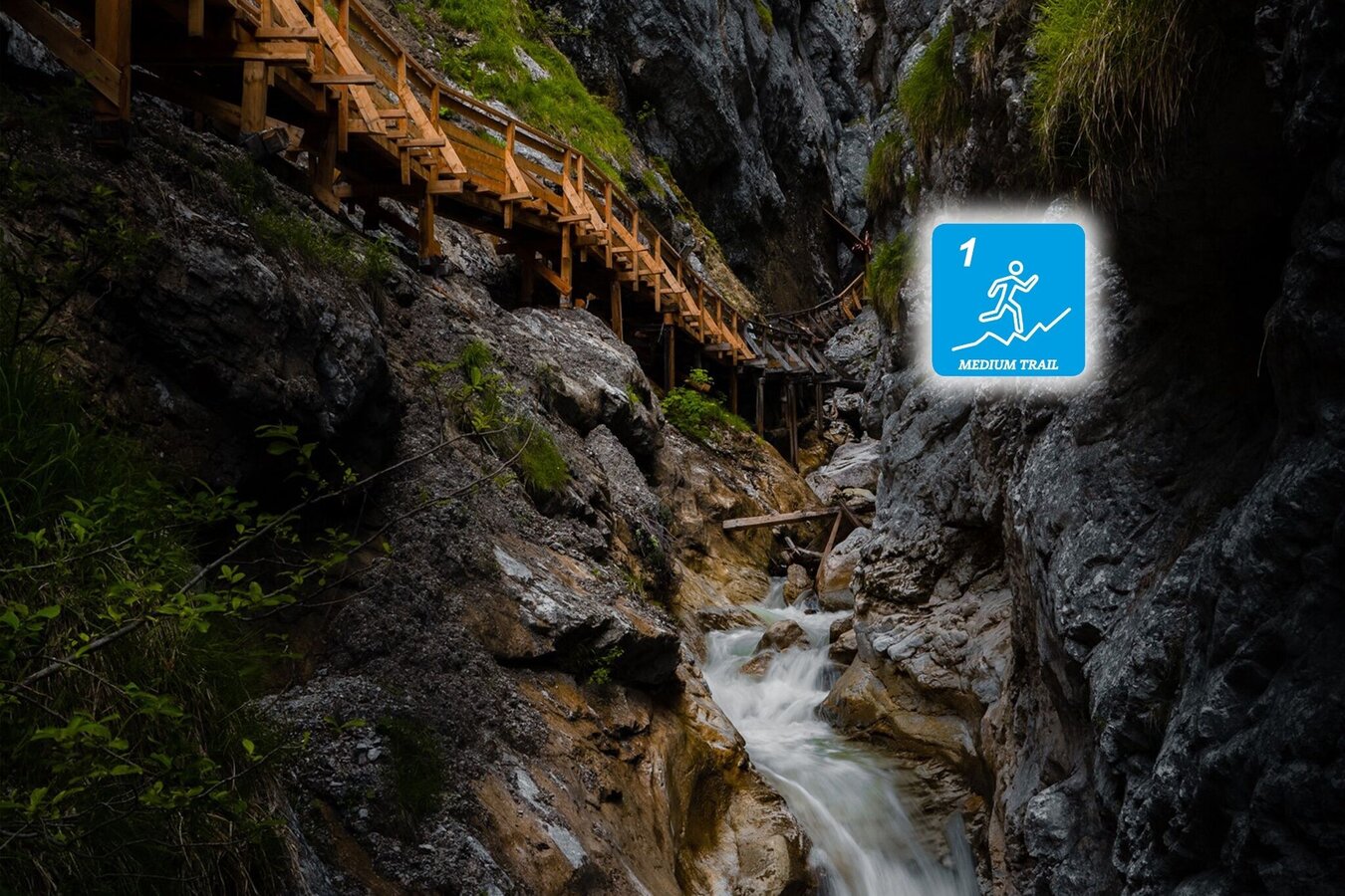
Walkway system in the Wörschachklamm | © Erlebnisregion Schladming-Dachstein | Christoph Lukas
1/2
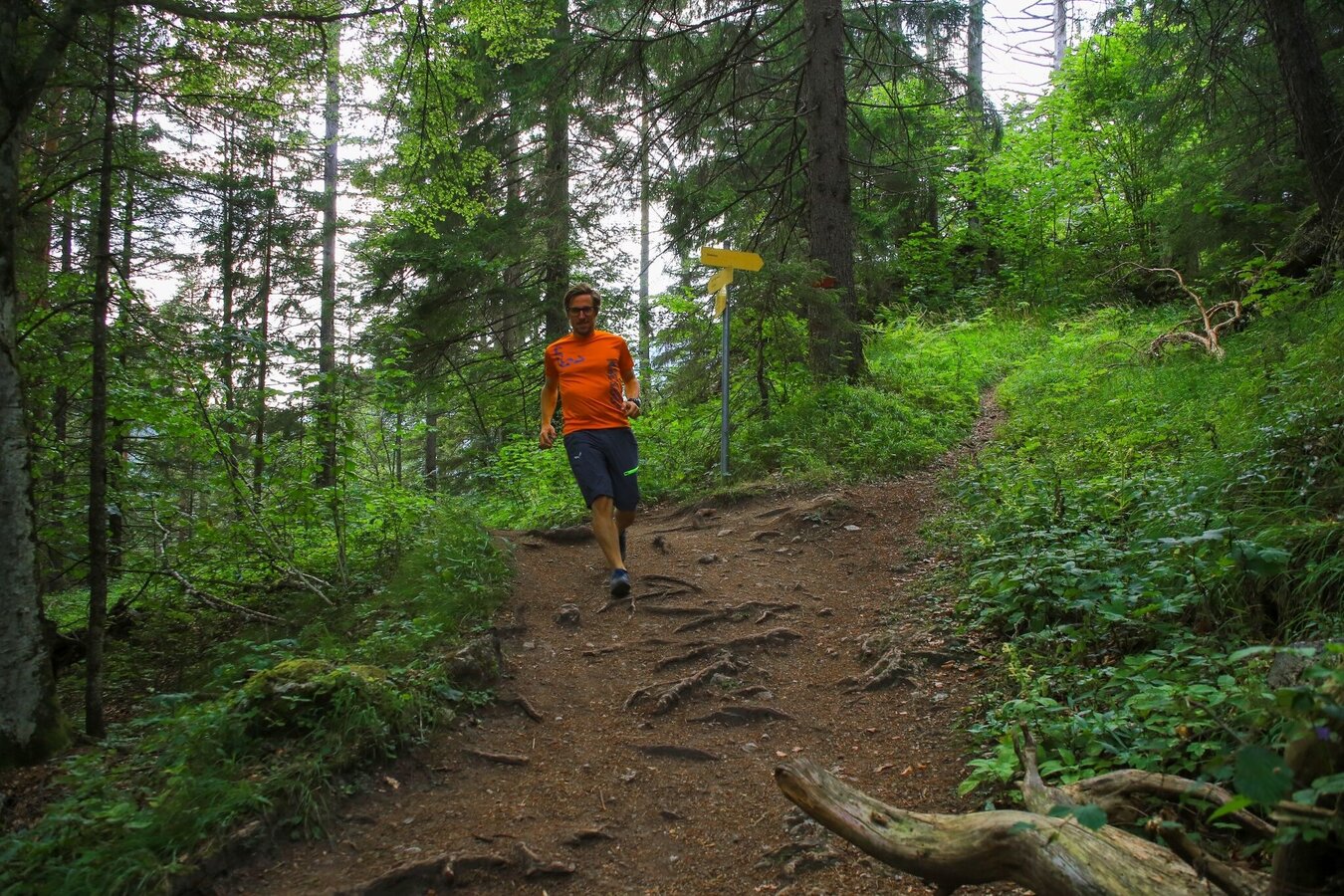
Trail runners on the Wörschachklamm-Trail | © Erlebnisregion Schladming-Dachstein | Roland Gutwenger
2/2

What the weather will be like Wörschach (651m)
Today, 29.09.2026
Dry and sunny throughout the day with hardly any clouds.Morning

6°C
sr.Regenwahrscheinlichkeit
0%
sr.Windstärke
0 km/h
Noon
22°C
sr.Regenwahrscheinlichkeit
0%
sr.Windstärke
10 km/h
Night
13°C
sr.Regenwahrscheinlichkeit
0%
sr.Windstärke
10 km/h
Tomorrow, 30.09.2026
Dry and sunny throughout the day with hardly any clouds.Morning
4°C
sr.Regenwahrscheinlichkeit
0%
sr.Windstärke
5 km/h
Noon
21°C
sr.Regenwahrscheinlichkeit
0%
sr.Windstärke
10 km/h
Night
13°C
sr.Regenwahrscheinlichkeit
0%
sr.Windstärke
5 km/h
Forecast
01.10.2026
4°C
22°C
02.10.2026

6°C
22°C
03.10.2026
5°C
22°C
