


Winter hiking trail Planneralm
Accessible by public transport- Ski bus
Characteristics
FitnessThe tour in numbers
Level of difficulty
easy
Route
3,7 km
Time
1:00 h
Uphill
100 hm
Downhill
100 hm
Highest point
1700 m
A relaxing hike in the highest mountain village in Styria at 1600 m above sea level promises pure winter romance, the finest snow and crystal clear mountain air.
After skiing is before winter hiking. In an idyllic snowy landscape, the Planner winter hiking trail is surrounded by a magnificent mountain panorama. As you leisurely trudge along, you can already visualise the turns you will be making in the snow on your two skis the next day.
Best season
January
February
March
April
May
June
July
August
September
October
November
December
More information
Turn off the Ennstalbundesstraße (B320) at the crossing Trautenfels in direction Irdning, Donnersbach, Donnersbachwald. In Donnersbach after the center of the village turn left towards Planneralm. 12 km long driveway over the toll-free mountain road up to the Planneralm.
Parking at the large car park on the Planneralm
Parking at the large car park on the Planneralm
To the right of the Kinderland you start. You hike along the toboggan run and the marked high-altitude trail until you reach a small hut, after which you keep to the right again and climb uphill until you reach the forest. Once you have reached the Plannerkessel, an impressive view of the surrounding mountain panorama opens up to you. Across snow-covered mountain pine fields you now make a flat loop before you make your way back to the mountain village along the same path.
Winter mountain boots or sturdy winter boots, possibly telescopic poles with snow discs
In the Plannerkessel, let the impressive mountain scenery and the tranquility take effect on you. Deep relaxation guaranteed.
Planneralm ski bus:
Until 15.12.2024 only on weekends
From 21.12.2024 until 20.04.2025 daily
Information at: www.myplanneralm.at
Until 15.12.2024 only on weekends
From 21.12.2024 until 20.04.2025 daily
Information at: www.myplanneralm.at
Tourist information: www.schladming-dachstein.at
Schladming-Dachstein Tourist Office
Ramsauerstraße 756
8970 Schladming
T: +43 3687 23310
info@schladming-dachstein.at
Schladming-Dachstein OST winter adventure map, available from the information offices in the region.
Map & downloads
Gallery
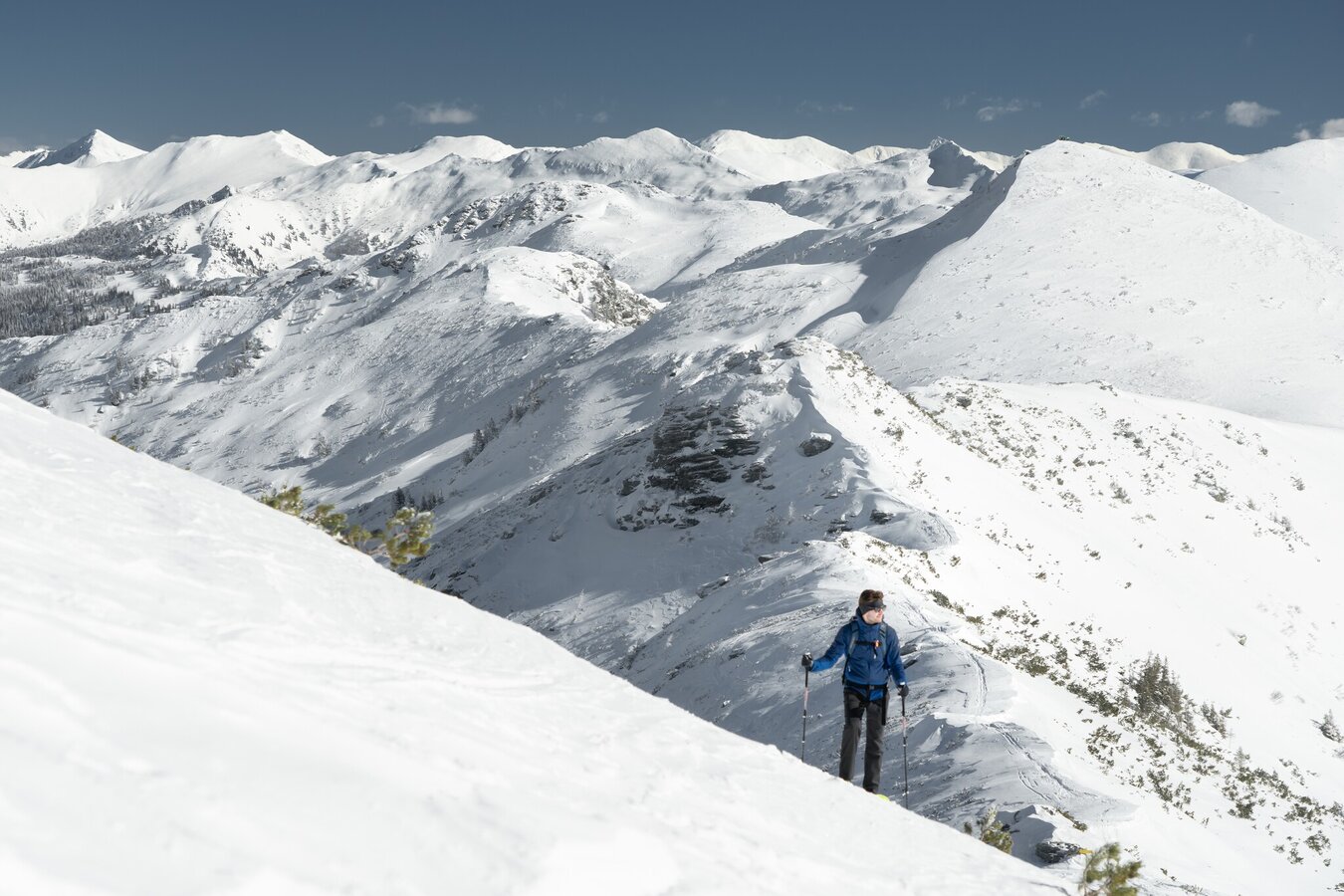
Winter hiking on the Planneralm | © Christoph Lukas | Christoph Lukas
1/7
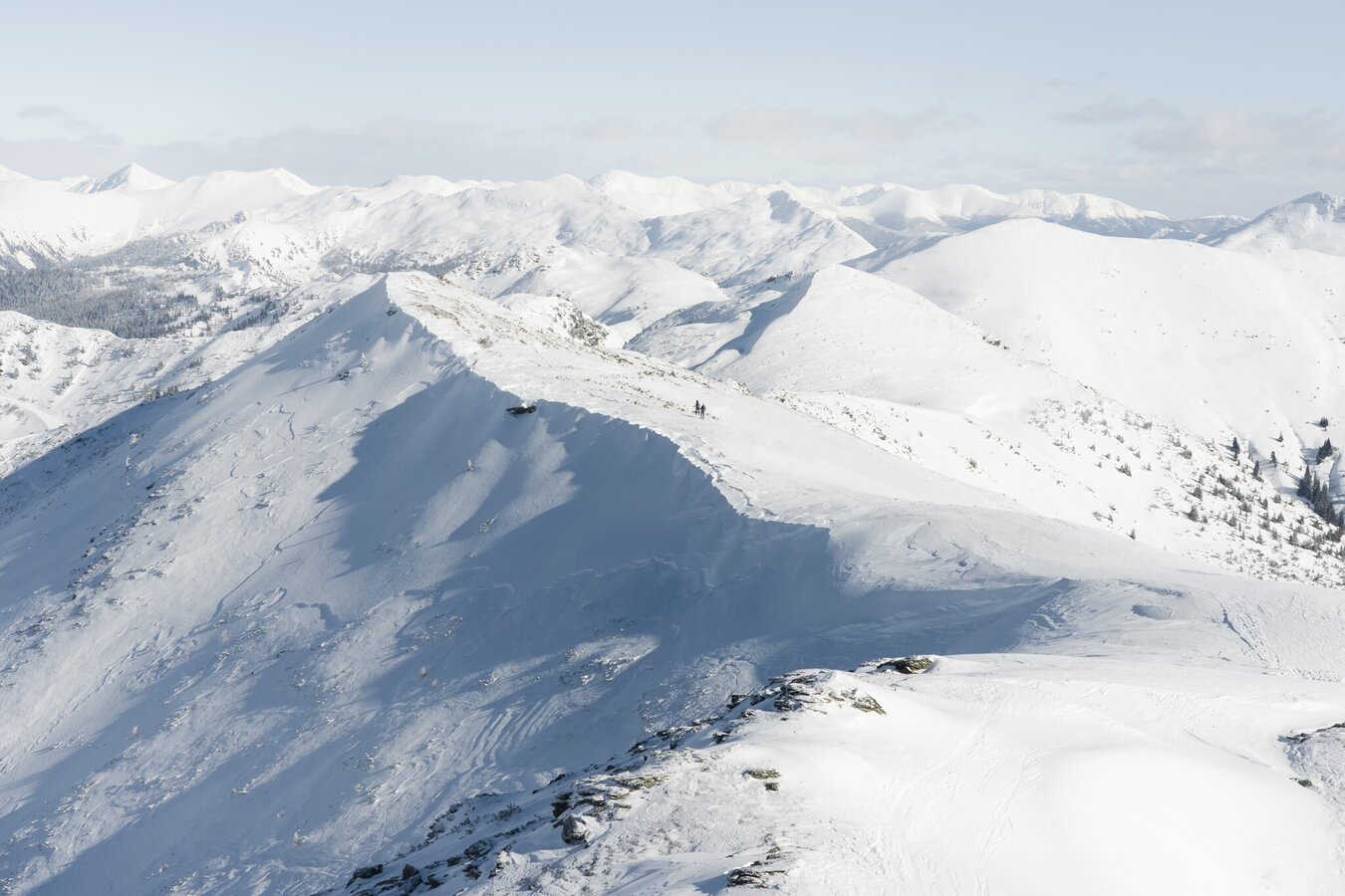
Winter hiking on the Planneralm | © Christoph Lukas | Christoph Lukas
2/7
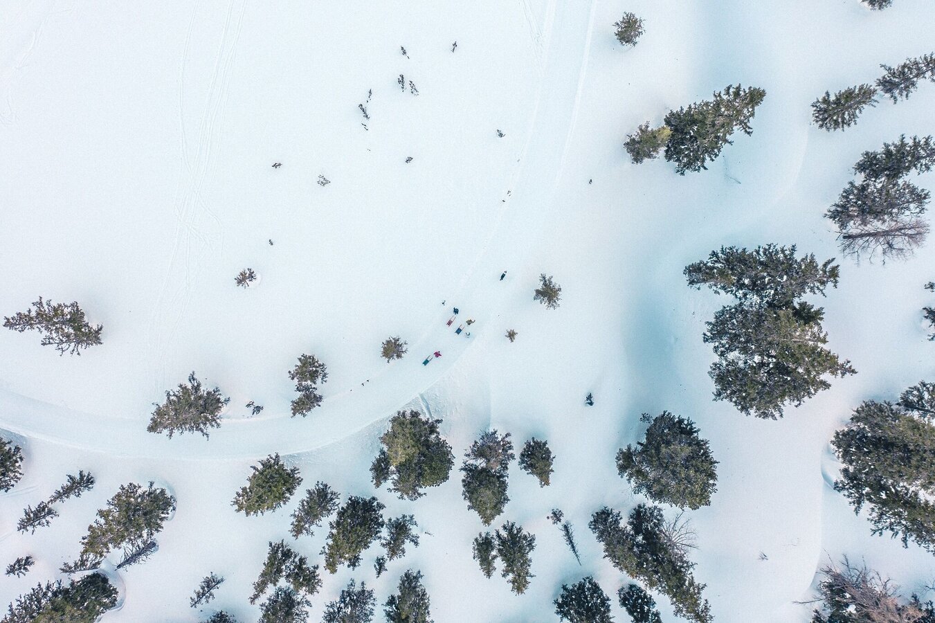
From the bird's eye view | © Unbekannt | Tom Lamm
3/7
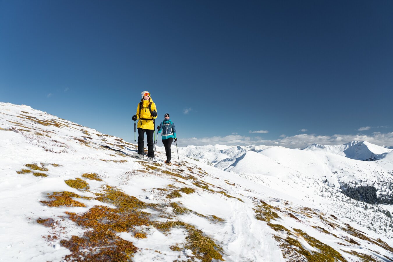
Winter hiking on the Planneralm | © Christoph Lukas | Christoph Lukas
4/7
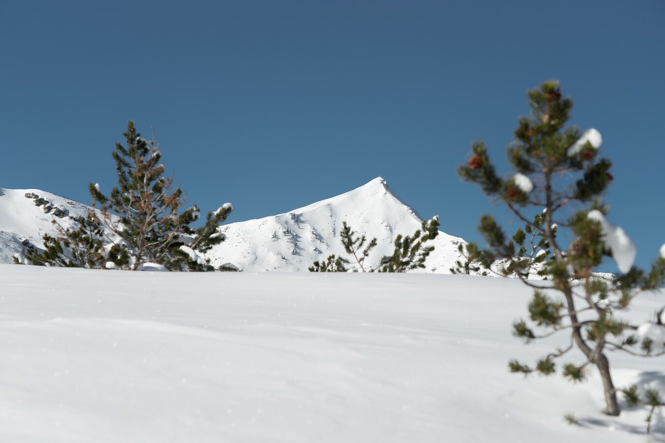
Winter hiking on the Planneralm | © Christoph Lukas | Christoph Lukas
5/7
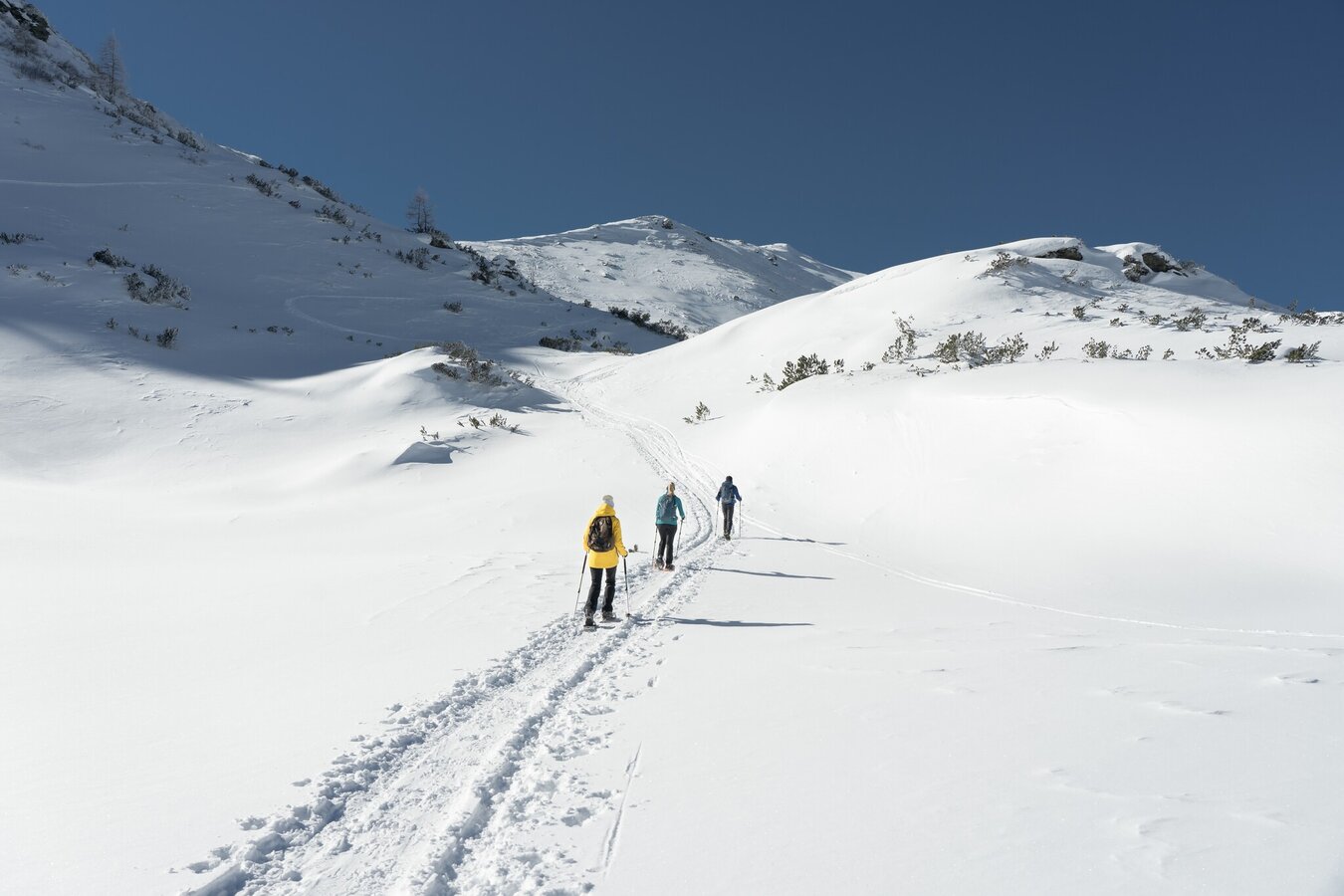
Winter hiking on the Planneralm | © Christoph Lukas | Christoph Lukas
6/7
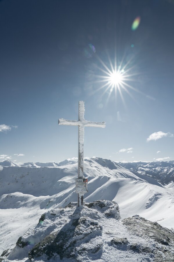
Winter hiking Planneralm | © Christoph Lukas | Christoph Lukas
7/7

What the weather will be like Irdning-Donnersbachtal (665m)
Today, 16.10.2026
Dry and sunny throughout the day with hardly any clouds.Morning

7°C
sr.Regenwahrscheinlichkeit
0%
sr.Windstärke
5 km/h
Noon
16°C
sr.Regenwahrscheinlichkeit
0%
sr.Windstärke
5 km/h
Night
9°C
sr.Regenwahrscheinlichkeit
0%
sr.Windstärke
5 km/h
Tomorrow, 17.10.2026
Dry and partly sunny throughout the day, with cloudy periods from time to time.Morning

3°C
sr.Regenwahrscheinlichkeit
0%
sr.Windstärke
0 km/h
Noon
15°C
sr.Regenwahrscheinlichkeit
0%
sr.Windstärke
5 km/h
Night
11°C
sr.Regenwahrscheinlichkeit
15%
sr.Windstärke
5 km/h
Forecast
18.10.2026

6°C
17°C
19.10.2026
4°C
16°C
20.10.2026
4°C
17°C
