


Partially opened, Roadblock
Village Tour
Accessible by public transport- Train (within 15 minutes walking distance from starting point)
- Public bus (within 15 minutes walking distance from starting point)
Characteristics
SkillThe tour in numbers
Level of difficulty
easy
Route
6,5 km
Time
2:00 h
Uphill
160 hm
Downhill
160 hm
Highest point
897 m
Lock away
Partially opened
Wegabsperrung Pichl-Audorf
| Dörferrunde - Abergrunde
This walking tour connects several nice villages in Pichl via beautiful trails over meadows.
In Pichl, this nice walking tour runs along meadow trails and along the edge of the forest on the sunny side of the Ennstal valley. Along the tour you pass through the idyllic villages of Gleiming, Pichl, Grubdörfl, Warterdorf and Audorf.
Lock away
Partially opened
Wegabsperrung Pichl-Audorf
Due to extensive renovations and expansion work at the existing guesthouse Pichl-Audorf 121 (currently Apartments Karin Tritscher) and the renewal of the high-voltage power line route, the hiking trail between Audorf and Warterdorf is closed. Construction is expected to last until late fall 2026.A detour is possible via the Enns Cycle Path to the wastewater treatment plant and from there to the Warterdorf access road.
Dörferrunde - Abergrunde
Trail closure due to forest road works and retaining wall construction as part of the Ennstal high-voltage power line renewal project by APG.Closure duration: from April 20th until approximately autumn 2026. A detour is possible via Grubweg and the Pichlmayrgut field road.
Best season
January
February
March
April
May
June
July
August
September
October
November
December
More information
Exit from the federal highway B320 in Pichl (approximately 4.5 km west of Schladming) and follow the signs to Freizeitsee Pichl.
Parking is available at Freizeitsee Pichl.
From the hiking trail head at the Badesee Pichl, follow the signs through the underpass at the train station and go up to the Pichlmayrgut Hotel. Right at the start of the hotel village, turn left and follow the meadow loop over the scenic Ennstal to the slightly rising Aberg. Benches invite you to linger. Then continue through the forest and meadow edges to Grubdörfl. Follow slightly uphill and downhill through meadow edges to Warterdorf. Turn off across a piece of meadow downhill to Audorf and through the underpass onto the footpath and cycle path (R7). From here, you can follow the railway line back to Pichl train station and the starting point.
Changes in weather patterns, quick falls in temperature, thunderstorms, wind, fog and snow are some of the dangers that can be encountered on a hiking tour. Hosts of alpine huts and mountain refuges have a lot of experience in the mountains and can give good advice about weather and the trails. Poor equipment, overestimation of one's own capabilities, carelessness, poor personal constitution and/or wrong judgement can lead to critical situations. In case of thunderstorms: avoid summits, ridges and steel ropes.
GPS data and orienteering
Available GPS data - just like hiking maps - is only a guidance for orientation and can never depict a trail exactly with all its details. Especially at dangerous spots it is essential to judge on site how to proceed.
In an emergency please call:
- 140 - for Alpine emergencies (all over Austria)
- 112 - European GSM emergency number
The tour is also possible with starting point in Gleiming.
The trail head at Freizeitsee Pichl can be reached from Schladming via the buses of Postbus.
The trail head can also be reached via train (station Pichl an der Enns).
Info about buses: www.postbus.at
- Hiking map ‘Hiking WEST’ available at the information offices in the region.
- Schladming hiking map, 1:25,000, available at the Schladming information office.
- Hiking map Schladming-Dachstein, 1:50,000, available at the information offices in the region.
- Hiking guide Schladming-Dachstein by Herbert Raffalt, available at the information offices in the region.
Map & downloads
Gallery
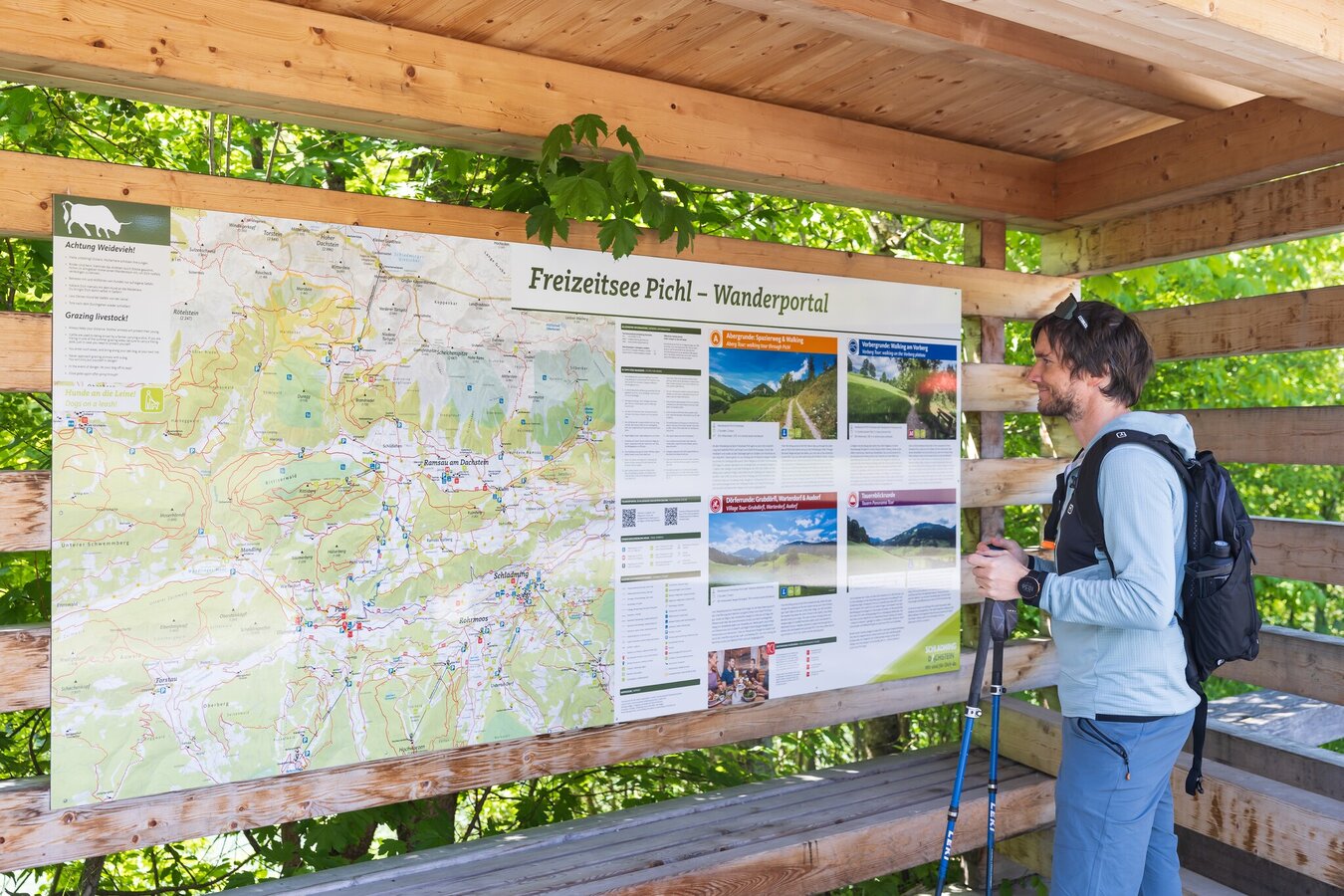
Hiking portal Freizeitsee Pichl | © (c) Martin Huber - all rights reserved | Martin Huber
1/13
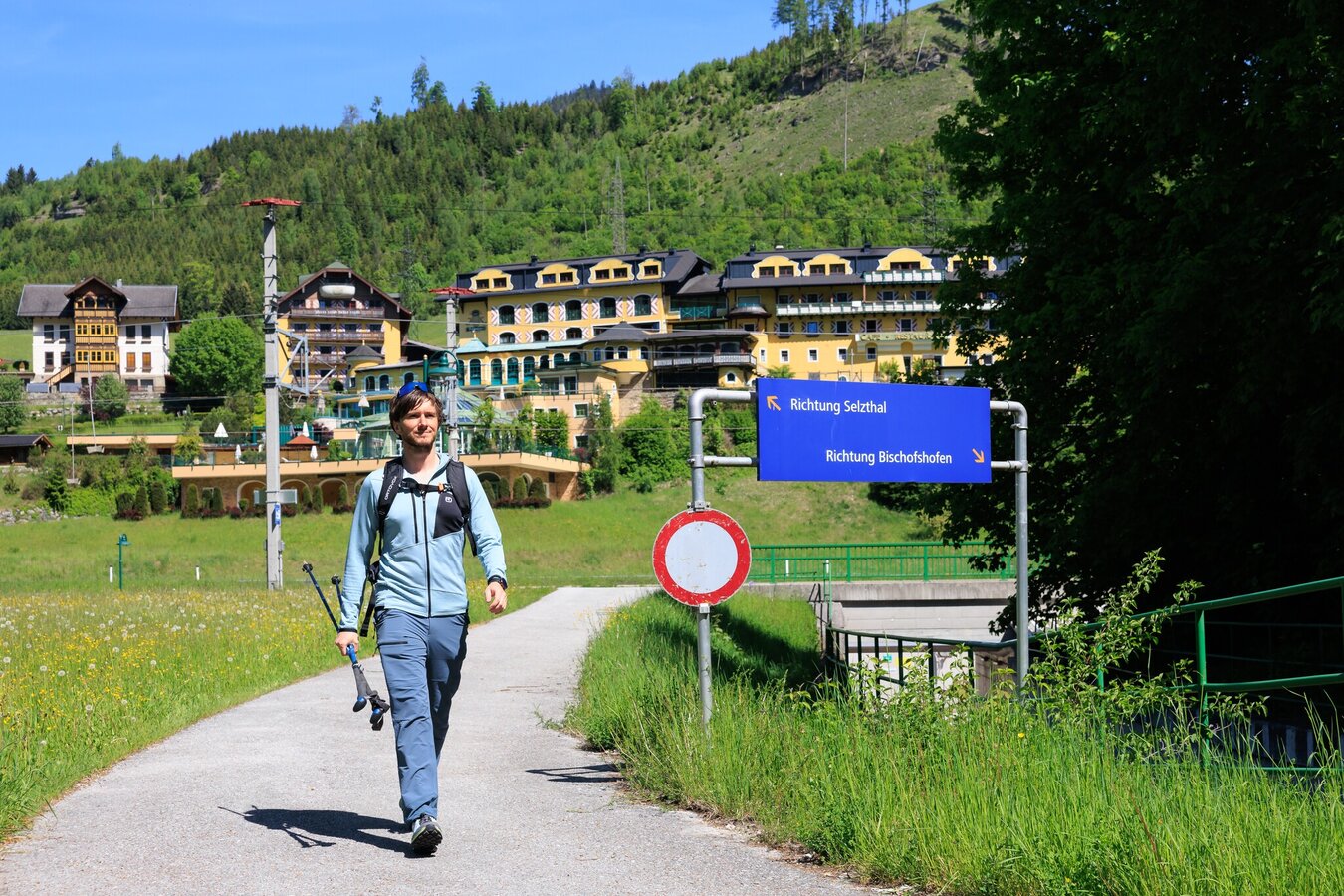
Hikers on the Dörferrunde Pichl | © (c) Martin Huber - all rights reserved | Martin Huber
2/13
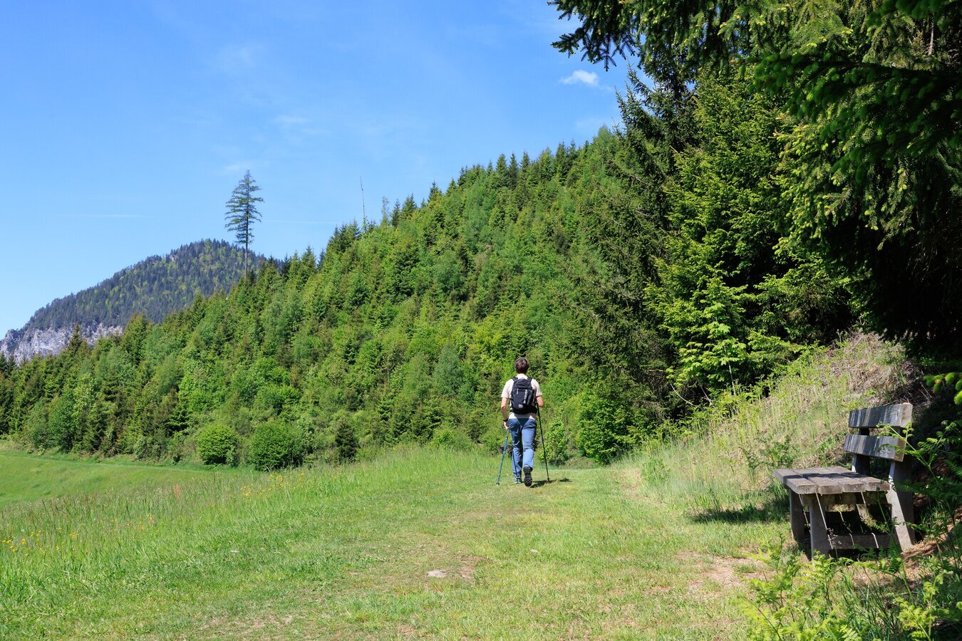
Hike on the Dörferrunde | © (c) Martin Huber - all rights reserved | Martin Huber
3/13
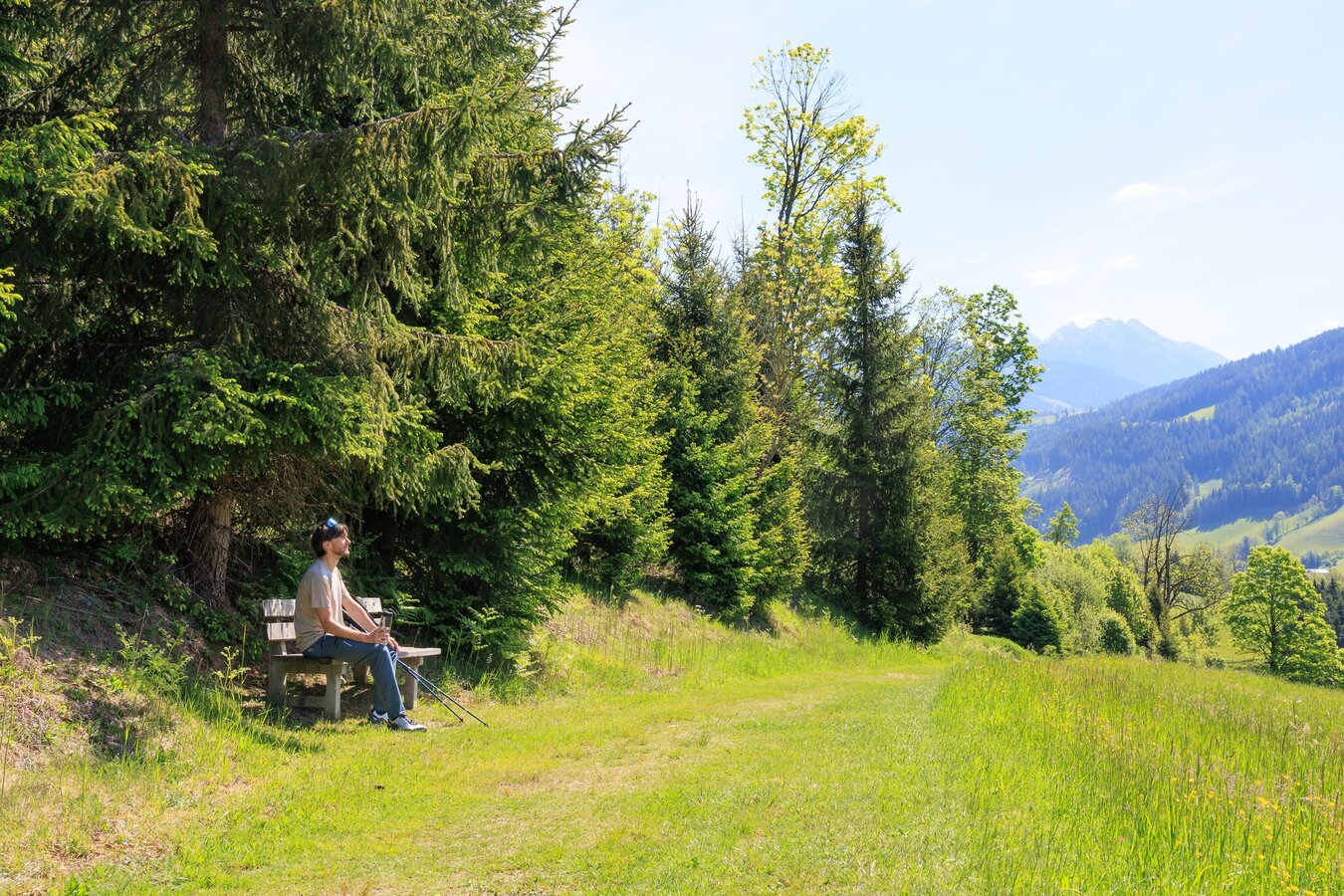
Rest area on the Pichl village loop trail | © (c) Martin Huber - all rights reserved | Martin Huber
4/13
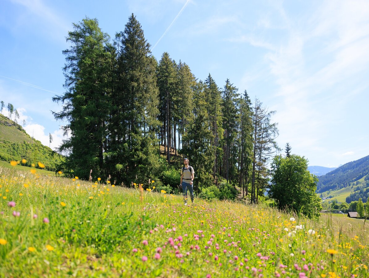
Hike on the Pichl Village Loop | © (c) Martin Huber - all rights reserved | Martin Huber
5/13
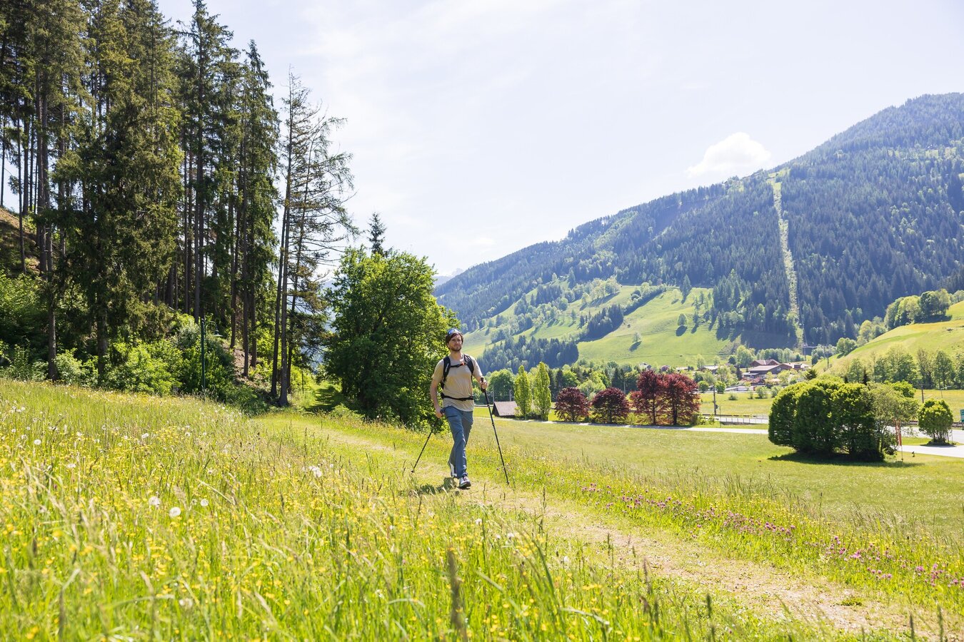
Pichl Village Loop | © (c) Martin Huber - all rights reserved | Martin Huber
6/13
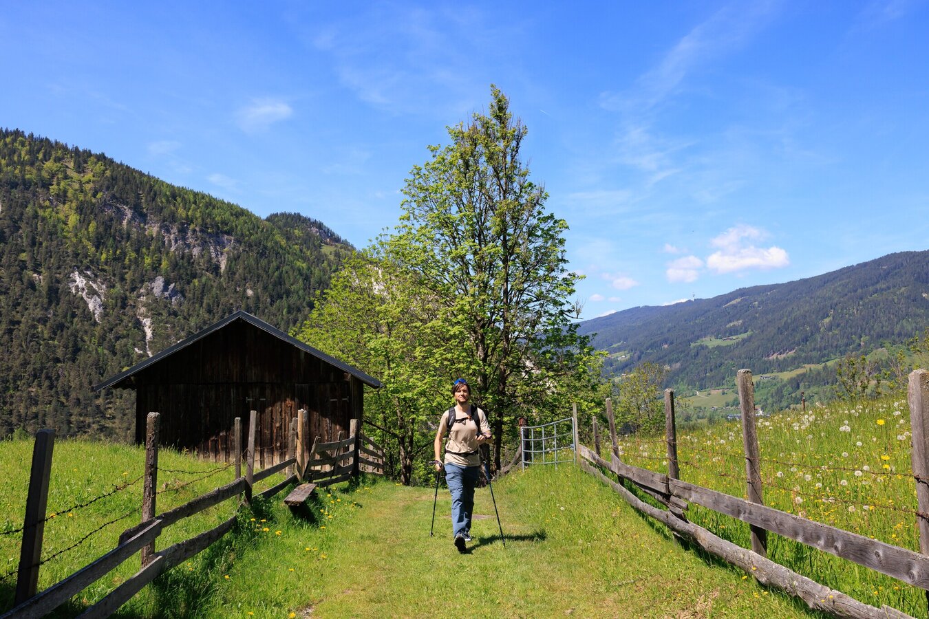
Pichl Village Loop | © (c) Martin Huber - all rights reserved | Martin Huber
7/13
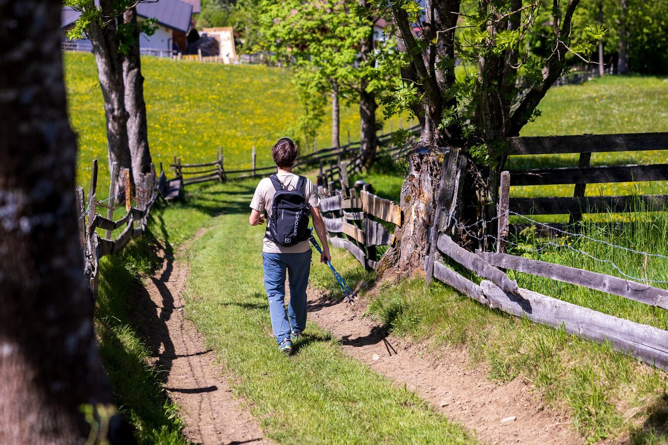
Hike on the Dörferrunde | © (c) Martin Huber - all rights reserved | Martin Huber
8/13
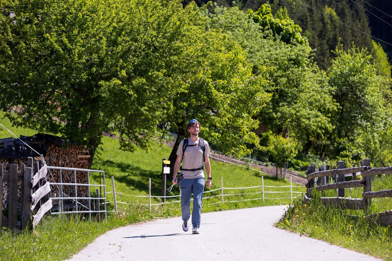
Hikers on the Dörferrunde Pichl | © (c) Martin Huber - all rights reserved | Martin Huber
9/13
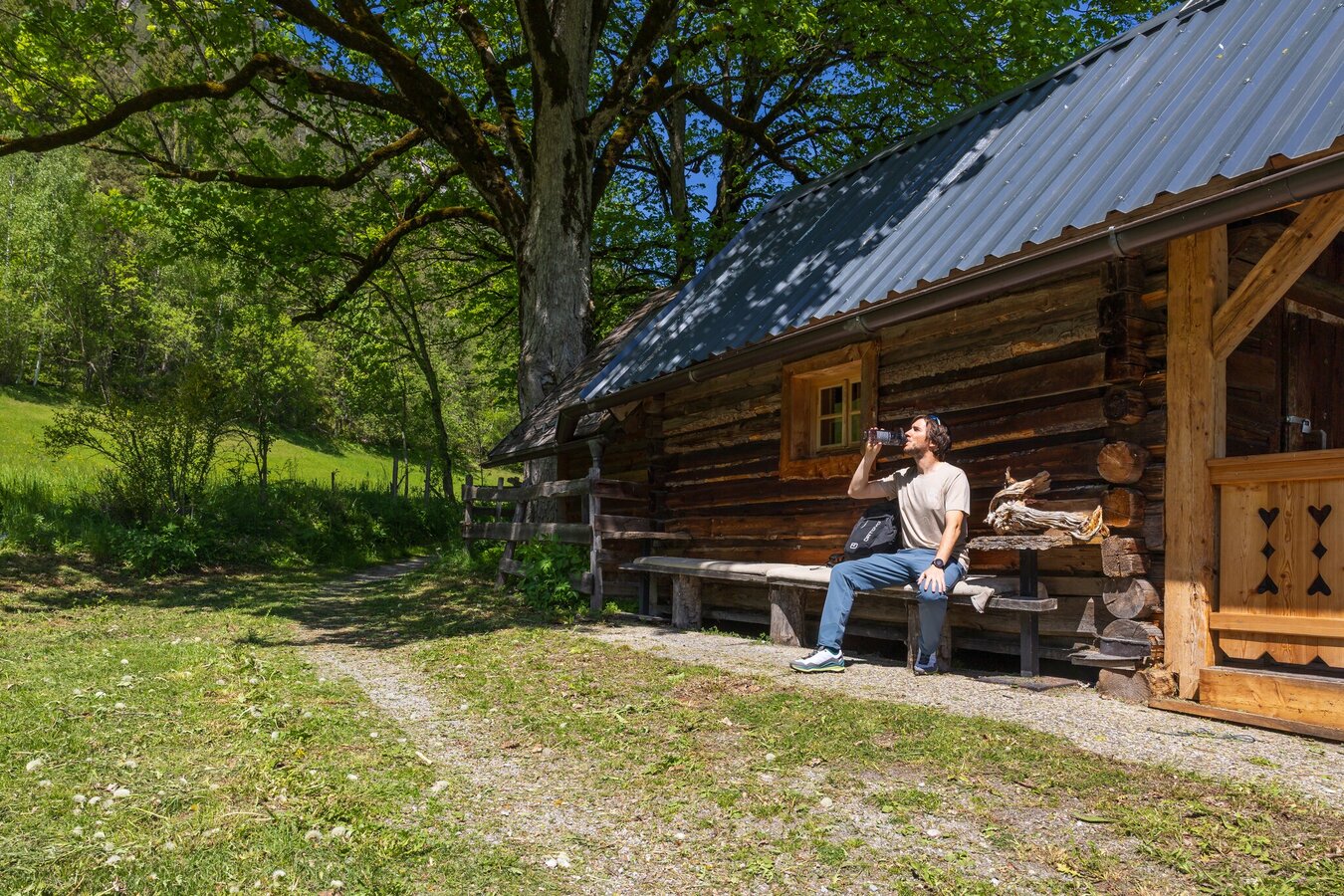
Rest stop on the Pichl village loop | © (c) Martin Huber - all rights reserved | Martin Huber
10/13
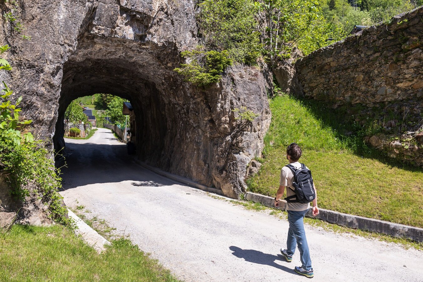
Hikers in front of a rock tunnel | © (c) Martin Huber - all rights reserved | Martin Huber
11/13
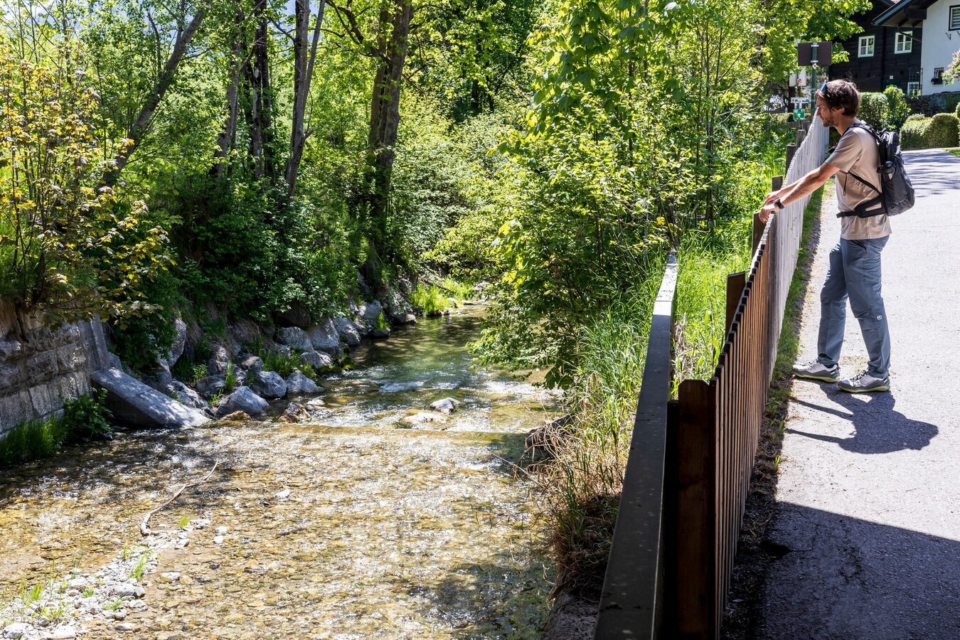
Pichl Village Loop | © (c) Martin Huber - all rights reserved | Martin Huber
12/13
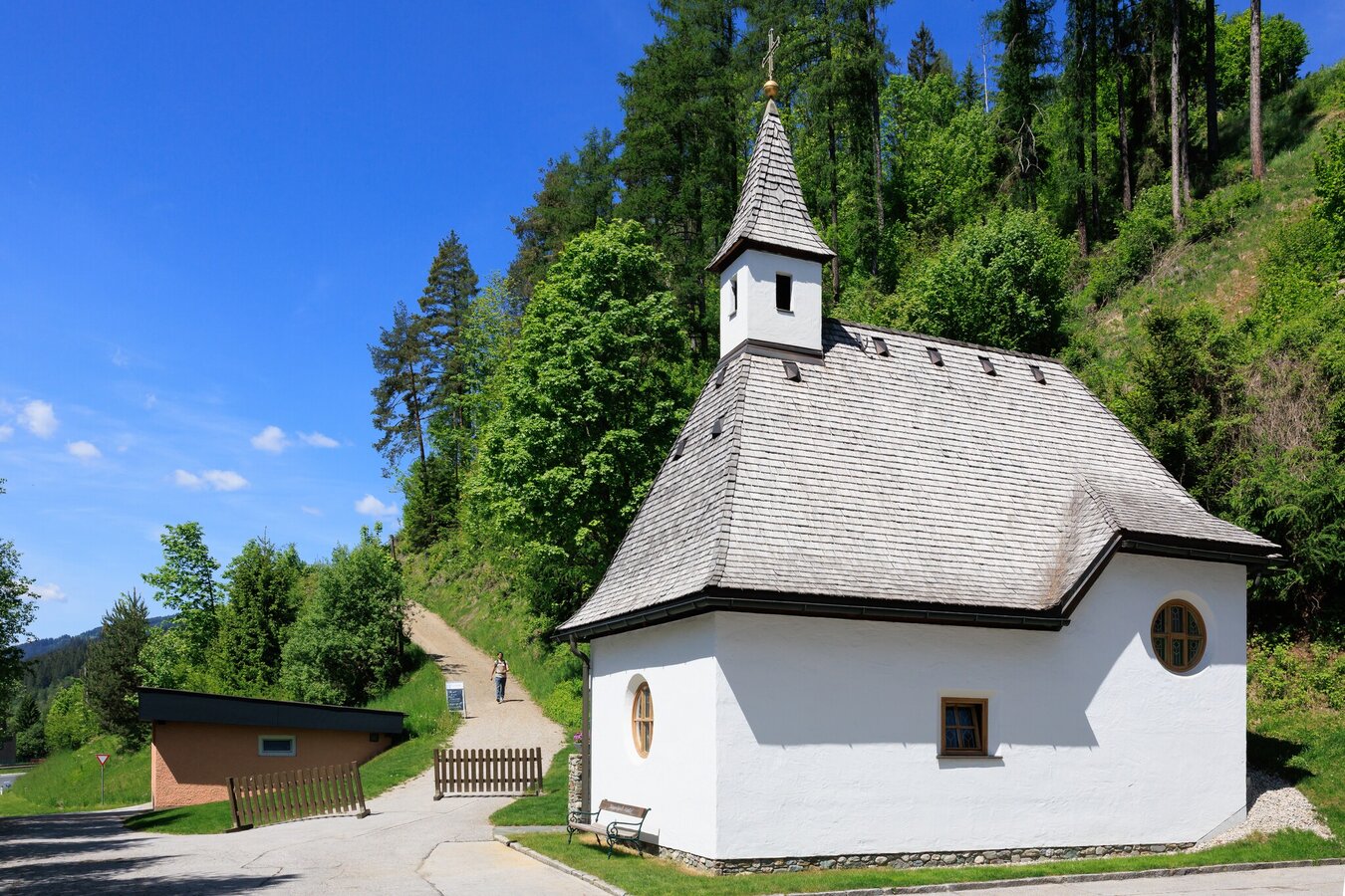
Chapel on the Pichl village loop trail | © (c) Martin Huber - all rights reserved | Martin Huber
13/13

What the weather will be like Schladming (740m)
Today, 09.10.2026
Morning clouds will clear gradually. Then frequent sunny periods.Morning

7°C
sr.Regenwahrscheinlichkeit
90%
sr.Windstärke
5 km/h
Noon

14°C
sr.Regenwahrscheinlichkeit
15%
sr.Windstärke
5 km/h
Night
10°C
sr.Regenwahrscheinlichkeit
0%
sr.Windstärke
5 km/h
Tomorrow, 10.10.2026
A fair early morning, later increasing cloudiness and frequent showers.Morning
7°C
sr.Regenwahrscheinlichkeit
5%
sr.Windstärke
0 km/h
Noon

13°C
sr.Regenwahrscheinlichkeit
50%
sr.Windstärke
5 km/h
Night

10°C
sr.Regenwahrscheinlichkeit
70%
sr.Windstärke
5 km/h
Forecast
11.10.2026
7°C
14°C
12.10.2026
3°C
13°C
13.10.2026

2°C
14°C
