


Südwandhütte - Guttenberghaus | Sun Trail Dachstein: Stage 02
Characteristics
SkillThe tour in numbers
Level of difficulty
challenging
Route
9,5 km
Time
4:40 h
Uphill
280 hm
Downhill
935 hm
Highest point
2687 m
Immerse yourself in another world in the "Am Stein" area. 2nd stage of the 3-day Dachstein-Runde, 3rd stage of the 8-day Dachstein-Rundwanderweg,
The 2nd stage of the Dachstein Sonnen-Runde is a glacier hike across the Schladminger Gletscher and the "am Stein" plateau to the Guttenberghaus with a walking time of about 4 to 5 hours. Most of the vertical meters uphill are covered with the help of the Dachstein Gletscherbahn. In contrast to the green Ramsau alpine pasture area at the foot of the Dachstein south walls, the "Am Stein" karst plateau feels almost like a lunar landscape. Experience this special landscape, which is also designated as a UNESCO World Natural Heritage site.
Best season
January
February
March
April
May
June
July
August
September
October
November
December
More information
From west:
Tauernautobahn A 10 to the Ennstal junction - exit in the direction of Graz/Schladming - about 20 km on the Ennstal federal road to Schladming. Turn off in Schladming Mitte and follow the state road in the direction of Ramsau am Dachstein. In Ramsau Schildlehen turn off onto the Dachstein toll road and go to the valley station of the Gletscherbahn.
From the north:
Pyhrnautobahn in the direction of Liezen Ennstalbundesstraße to Schladming. Turn off in Schladming Mitte and follow the state road in the direction of Ramsau am Dachstein. In Ramsau Schildlehen turn off onto the Dachstein toll road and go to the valley station of the Gletscherbahn.
The descent from the Südwandhütte is best done early in the morning and takes about 35 minutes to the valley station of the Dachstein Gletscherbahn. The cable car overcomes 1,000 meters in altitude in just 7 minutes to the Hunerkogel mountain station. Located directly at the mountain station are the "Sky Walk" viewing platform, the Dachstein Eispalast, and the suspension bridge with the Stairway into Nothingness. Definitely worth a visit.
Continue on the path to the Guttenberghaus. This first leads you down to the Gjaidsteinsattel. From there, you descend eastwards along the eastern flank of the Gjaidstein. The trail number is 674. It is a high-alpine tour that begins at almost 2,700 meters above sea level and offers no shelter in between in case of sudden weather changes. Colored markings on rocks and snow poles serve as orientation. Steel cable protections are installed in places.
The landscape is typical for the "am Stein" plateau; snow hollows, gentle climbs, rocky ridges, and a wide view of the Tote Gebirge form the scenery. After about 4 hours of walking, two trails meet at the Feistererscharte. Path #616 is the descent to the already visible Guttenberghaus at 2,146m above sea level. The highest mountain hut in Styria is the 2nd stage destination on the Dachsteinrundwanderweg.
You can take the Ramsauer Verkehrsbetriebe bus from Schladming or Ramsau am Dachstein to the valley terminal of Dachstein cable-car.
- Ramsau hiking bus timetable at www.rvb.at
Car park at the valley terminal of Dachstein cable-car (reachable via toll road).
Leisure map "WEST" for the Schladming-Dachstein region, available from the information offices in the Schladming-Dachstein region.
Map & downloads
Gallery
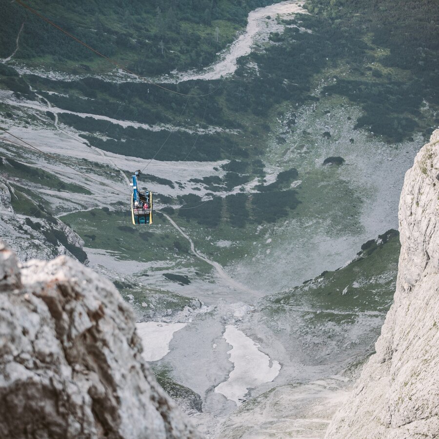
Ascent with the Dachstein Gletscherbahn | © Erlebnisregion Schladming-Dachstein | Marion V. Payr @ladyvenom
1/5
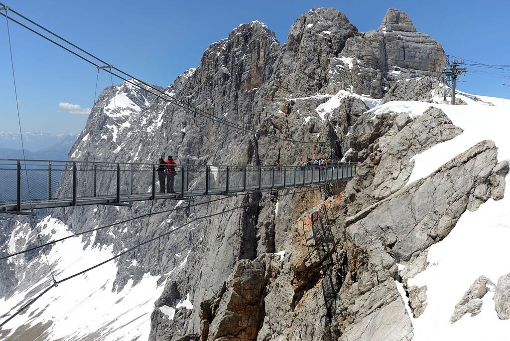
Suspension bridge at the Dachstein | © https://commons.wikimedia.org | Linie29
2/5
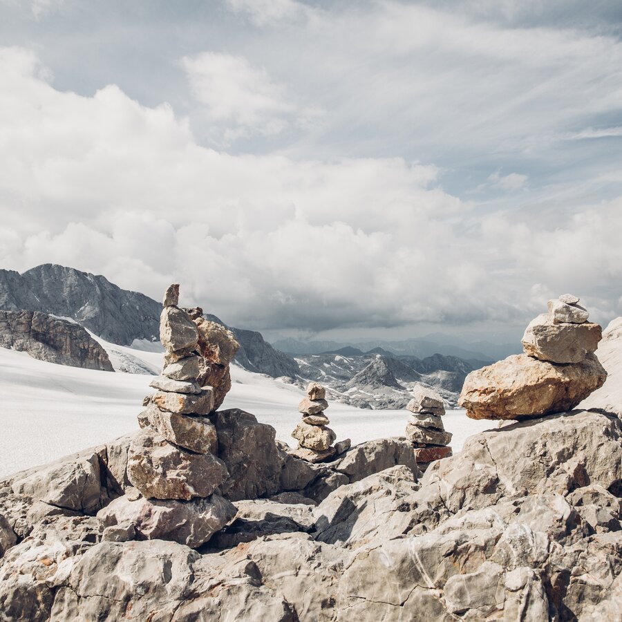
Cairns at the Gjaidsteinsattel | © Erlebnisregion Schladming-Dachstein | Marion V. Payr @ladyvenom
3/5
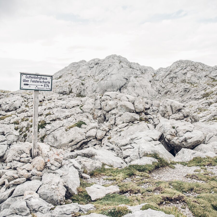
Signpost at the Stein | © Erlebnisregion Schladming-Dachstein | Marion V. Payr @ladyvenom
4/5
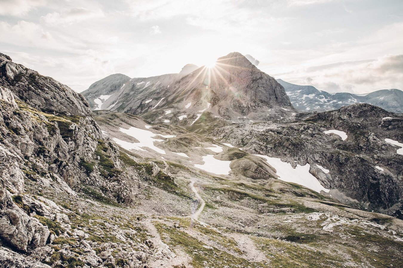
Landfriedstein in the Gebiet am Stein | © Erlebnisregion Schladming-Dachstein | Lady Venom
5/5
What the weather will be like Ramsau am Dachstein (1137m)
Today, 02.08.2026
A sunny day, but thunderstorms will be possible towards evening.Morning

17°C
sr.Regenwahrscheinlichkeit
10%
sr.Windstärke
5 km/h
Noon
25°C
sr.Regenwahrscheinlichkeit
50%
sr.Windstärke
10 km/h
Night

21°C
sr.Regenwahrscheinlichkeit
50%
sr.Windstärke
5 km/h
Tomorrow, 03.08.2026
Mostly sunny in the morning, becoming cloudy during the day. Thunderstorms will be likely towards evening.Morning
18°C
sr.Regenwahrscheinlichkeit
0%
sr.Windstärke
0 km/h
Noon

29°C
sr.Regenwahrscheinlichkeit
25%
sr.Windstärke
5 km/h
Night
23°C
sr.Regenwahrscheinlichkeit
50%
sr.Windstärke
5 km/h
Forecast
04.08.2026
17°C
30°C
05.08.2026
17°C
29°C
06.08.2026
17°C
28°C
