


Spiegelinas favorite hike
Accessible by public transport- Train (within 15 minutes walking distance from starting point)
- Public bus (within 15 minutes walking distance from starting point)
Characteristics
SkillThe tour in numbers
Level of difficulty
easy
Route
1,8 km
Time
1:00 h
Uphill
47 hm
Downhill
45 hm
Highest point
1746 m
Spiegelina's favorite route is a stroller-friendly circular trail starting from the Preunegg Jet mountain station. Numerous adventure stations await along the Reiteralmsee, as well as the new mirror slide and the walk-in goat playground.
Spiegelina's favorite route is a stroller-friendly circular hiking trail that starts directly at the Preunegg Jet mountain station. From here, the favorite route leads you past the Reiteralmsee and takes you back to the starting point via the car-free Reiteralmstraße. Along the Reiteralmsee, numerous adventure stations such as a seesaw, slacklines, kaleidoscope, partner swing, and viewing platforms await you. Along the way, you can also diligently collect stamps with your stamp pass. New features include the mirror slide and the large walk-in goat playground – for plenty of play, movement, and nature experiences - ideal for families with children of all ages.
Best season
January
February
March
April
May
June
July
August
September
October
November
December
More information
Exit the B320 Ennstalbundesstraße in Pichl (approx. 4 km west of Schladming) and follow the Preuneggstraße to the valley station of the Preunegg-Jet gondola. From here, it is also possible to drive up to the Reiteralm via the Reiteralmstraße (toll road from Almdorf Reiteralm) as far as the Gasselhöh'-Hütte.
The following parking options are available:
- Valley station Preunegg-Jet
- Parking area Eiskarhütte
- Parking area Reiteralmhütte
The following parking options are available:
- Talstation Preunegg-Jet
- Parkplatz Eiskarhütte
- Parkplatz Reiteralmhütte
The stroller-friendly circular hiking trail starts directly at the Preunegg Jet mountain station. From here, the favorite route leads you past the Reiteralmsee and takes you back to the starting point via the car-free Reiteralmstraße. Depending on which route variant you choose, you can enjoy a leisurely hike of up to one hour – ideal for small and large explorers alike.
Along the way, numerous exciting adventure stations await you, guaranteeing play, wonder, and relaxation. You can enjoy nature and relax in between at various viewing platforms and quiet spots. This makes your hike the perfect mix of exercise and recreation.
Sudden changes in weather, rapid drops in temperature, thunderstorms, wind, fog, and snowfields are objective hazards and require correct behavior on the trail. Hut keepers are experienced mountain experts; they can provide valuable tips regarding the weather and the route. Inadequate equipment, overestimating one's abilities, recklessness, poor physical condition, and misjudgment can lead to critical situations. During thunderstorms: strictly avoid peaks, ridges, and fixed rope sections.
GPS data and orientation aids
Available GPS data – much like hiking maps – are only an orientation aid, as they can never provide an exact representation or the level of detail of a trail in reality. Especially at dangerous spots, the final decision on whether and how to proceed must always be made based on the actual conditions on-site.
In case of emergency, please dial the following emergency numbers:
- 140 - for alpine emergencies - Austria-wide
- 112 - European emergency number GSM emergency service
Hiking or trekking shoes with a good tread sole, jacket. The path is suitable for strollers.
Here you will find tips for choosing the right hiking boots.
Bus operated by Ramsauer Verkehrsbetriebe to the Preunegg-Jet valley station (Tuesday, Friday and Sunday). Then ascent with the Preunegg-Jet to the Reiteralm (for operating hours see www.reiteralm.at).
Bus timetable for Ramsauer Verkehrsbetriebe at www.rvb.at
Information on all buses: Schladming-Dachstein bus timetablesAlso visit the new "Abenteuer Gondelwelt", located just a few meters from the circular trail, slightly below the Reiteralmhütte.
Information at www.reiteralm.at.
Information about buses: Bus timetables Schladming-Dachstein
Information about gondola operating hours: www.reiteralm.at
- Hiking map "Wandern WEST" available in the region's information offices.
- Hiking map Schladming, 1:25,000, available at the Schladming information office.
- Hiking map Schladming-Dachstein, 1:50,000, available in the region's information offices.
- Hiking guide Schladming-Dachstein by Herbert Raffalt, available in the region's information offices.
Map & downloads
Gallery
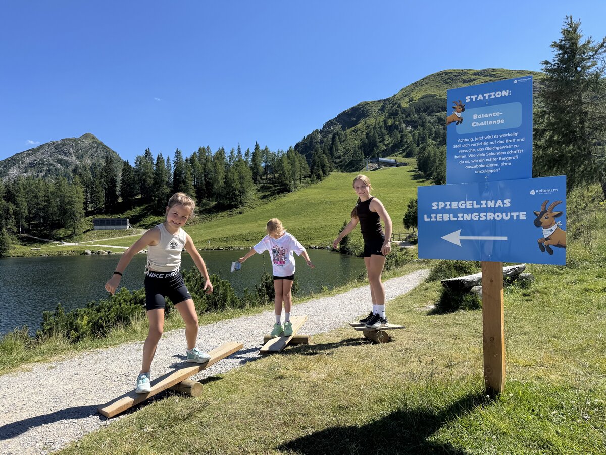
Play station Spiegelina's favorite route | © Reiteralm Bergbahn | Reiteralm Bergbahn
1/12

Spiegelina's favorite route on the Reiteralm | © Reiteralm Bergbahnen | Reiteralm Bergbahnen
2/12
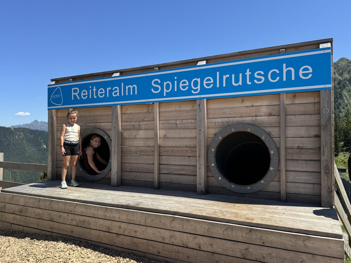
Reiteralm Spiegelrutsche | © Reiteralm Bergbahnen | Reiteralm Bergbahnen
3/12
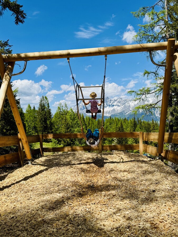
Spiegelina's favorite route - Swing | © Reiteralm Bergbahnen | Reiteralm Bergbahnen
4/12
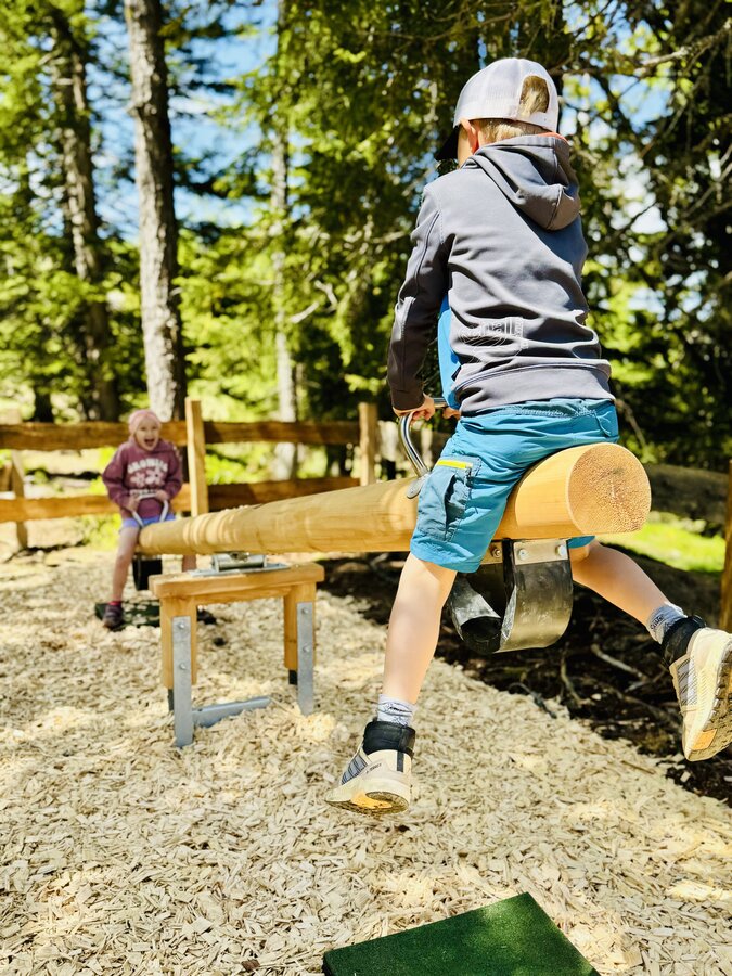
Seesaw station on the hiking trail | © Reiteralm Bergbahnen | Reiteralm Bergbahnen
5/12
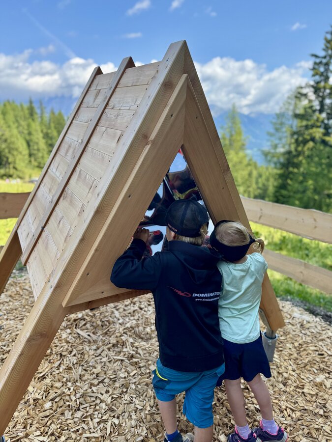
Kaleidoscope Station | © Reiteralm Bergbahnen | Reiteralm Bergbahnen
6/12
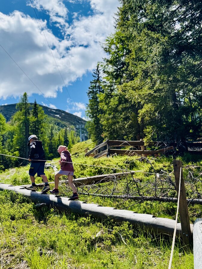
Spiegelina's favorite route Tree Trunks | © Reiteralm Bergbahnen | Reiteralm Bergbahnen
7/12
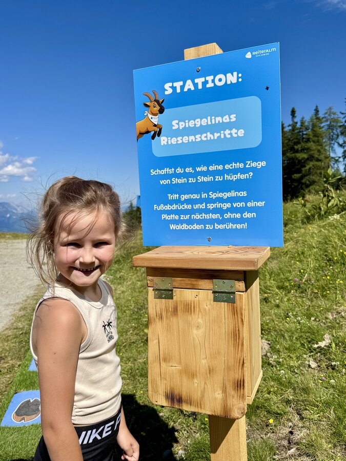
Spiegelina's Giant Steps Station | © Reiteralm Bergbahnen | Reiteralm Bergbahnen
8/12
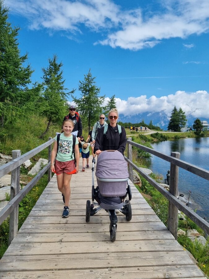
Stroller-friendly path at the mountain lake | © Reiteralm Bergbahnen | Reiteralm Bergbahnen
9/12
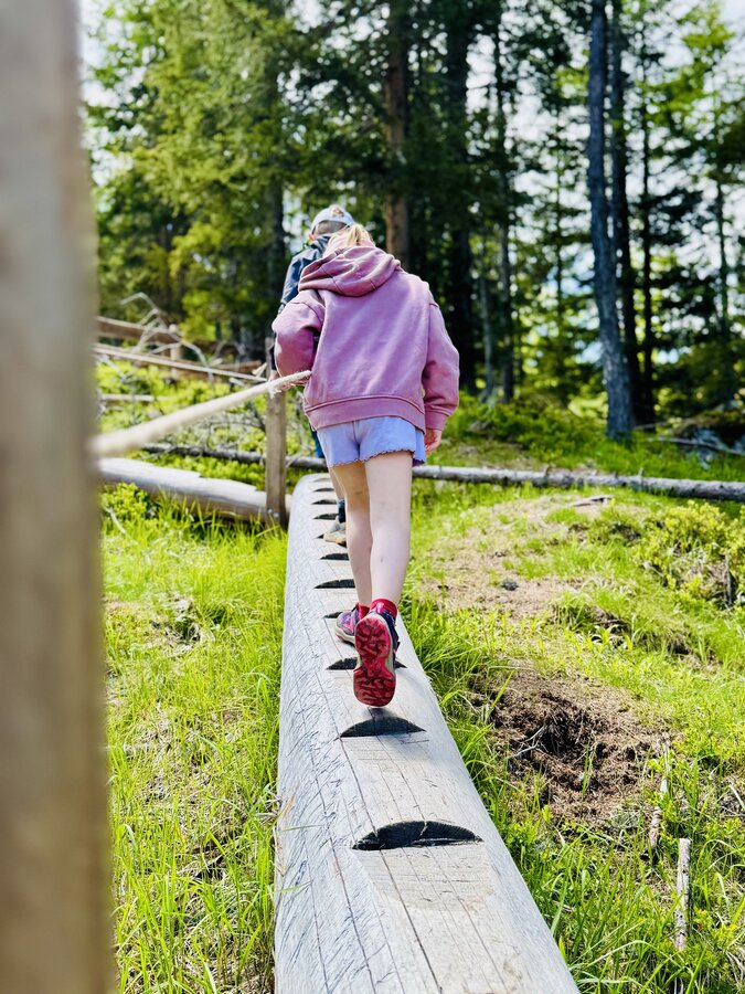
Spiegelina's favorite route - Holzweg | © Reiteralm Bergbahnen | Reiteralm Bergbahnen
10/12
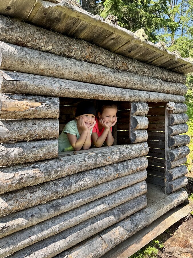
Children in the wooden hut | © Reiteralm Bergbahnen | Reiteralm Bergbahnen
11/12
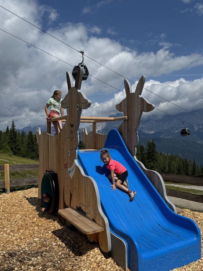
Spiegelina's favorite route - Slide | © Reiteralm Bergbahnen | Reiteralm Bergbahnen
12/12

What the weather will be like Schladming (740m)
Today, 13.10.2026
Dry and bright with plenty of sunshine, clouds will be rare.Morning

2°C
sr.Regenwahrscheinlichkeit
0%
sr.Windstärke
0 km/h
Noon
13°C
sr.Regenwahrscheinlichkeit
0%
sr.Windstärke
5 km/h
Night

8°C
sr.Regenwahrscheinlichkeit
0%
sr.Windstärke
5 km/h
Tomorrow, 14.10.2026
Rain for most of the day, maximum intensities around noon.Morning

7°C
sr.Regenwahrscheinlichkeit
70%
sr.Windstärke
0 km/h
Noon

15°C
sr.Regenwahrscheinlichkeit
75%
sr.Windstärke
5 km/h
Night
10°C
sr.Regenwahrscheinlichkeit
55%
sr.Windstärke
5 km/h
Forecast
15.10.2026
5°C
16°C
16.10.2026
3°C
17°C
17.10.2026

3°C
15°C
