


Snowshoe hiking tour Plannersee Runde
Accessible by public transport- Ski bus
Characteristics
SkillThe tour in numbers
Level of difficulty
easy
Route
2,5 km
Time
1:30 h
Uphill
210 hm
Downhill
210 hm
Highest point
1810 m
This relaxed snowshoe hike takes you to the little star of the Planneralm. Covered with winterly white, the snow-covered mountain lake is a worthwhile destination even in winter.
While the Plannersee is a popular hiking destination for families with children in summer, in winter it is an idyllic insider tip for you as a snowshoe hiker. Especially if you would like to take it a bit more relaxed. Step by step, off the slopes, you move on the softest snow. Can you see the lake above? Probably not, because in Styria's highest ski village it hibernates under a thick blanket of snow.
Best season
January
February
March
April
May
June
July
August
September
October
November
December
More information
Turn off the Ennstalbundesstraße (B320) at the crossing Trautenfels in direction Irdning, Donnersbach, Donnersbachwald. In Donnersbach after the center of the village turn left towards Planneralm. 12 km long driveway over the toll-free mountain road up to the Planneralm.
Parking at the large car park on the Planneralm.
Parking at the large car park on the Planneralm.
You start to the left of the Plannereckbahn lift along the edge of the piste steadily uphill until shortly before Plannersee lake. Keep left there and hike right along the marked ski route downhill back to the starting point.
- snowshoes, winter mountain boots or sturdy mountain boots as well as telescopic poles with snow plates
- In addition to food and warm drinks, pack spare clothing and a first aid kit in your backpack
- Choose your clothing according to the onion layer system
- An avalanche transceiver, probe and shovel are, as in ski touring, required in alpine terrain
- Use a backpack to which you can attach your snowshoes
- You should also pack maps and/or tour descriptions. GPX tracks on your cell phone or GPS device will also help you
The huts and inns on the Planneralm invite you to warm up after the hike.
Planneralm ski bus:
Until 15.12.2024 only on weekends
From 21.12.2024 until 20.04.2025 daily
Information at: www.myplanneralm.at
Until 15.12.2024 only on weekends
From 21.12.2024 until 20.04.2025 daily
Information at: www.myplanneralm.at
Tourist information: www.schladming-dachstein.at
Schladming-Dachstein Tourist Office
Ramsauerstraße 756
8970 Schladming
T: +43 3687 23310
info@schladming-dachstein.at
Rental possibilities:
Sport Scherz:
Planneralm, T +43 3683 8182
Riesneralm, T +43 3680 350
Bargain shop Scherz in Wörschach+43 3682 22383 sport-scherz.at
Sport Schöttl
Planneralm, T +43 3683 8107
Irdning, T +43 3682 22952 sport.schoettl.at
Schladming-Dachstein OST winter adventure map, available from the information offices in the region.
Map & downloads
Gallery
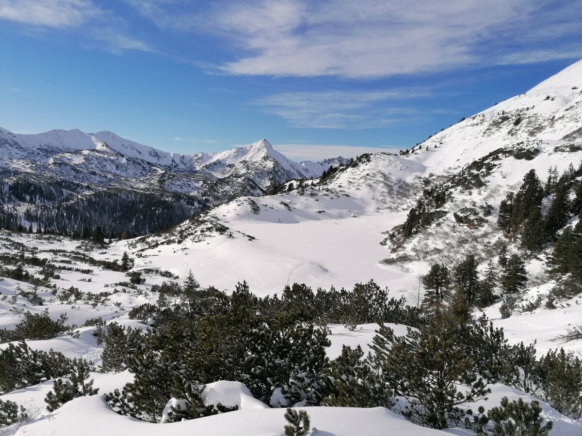
Winterlandschaft mit Blick auf den verschneiten Plannersee | © Erlebnisregion Schladming-Dachstein | Barbara Luidold
1/7
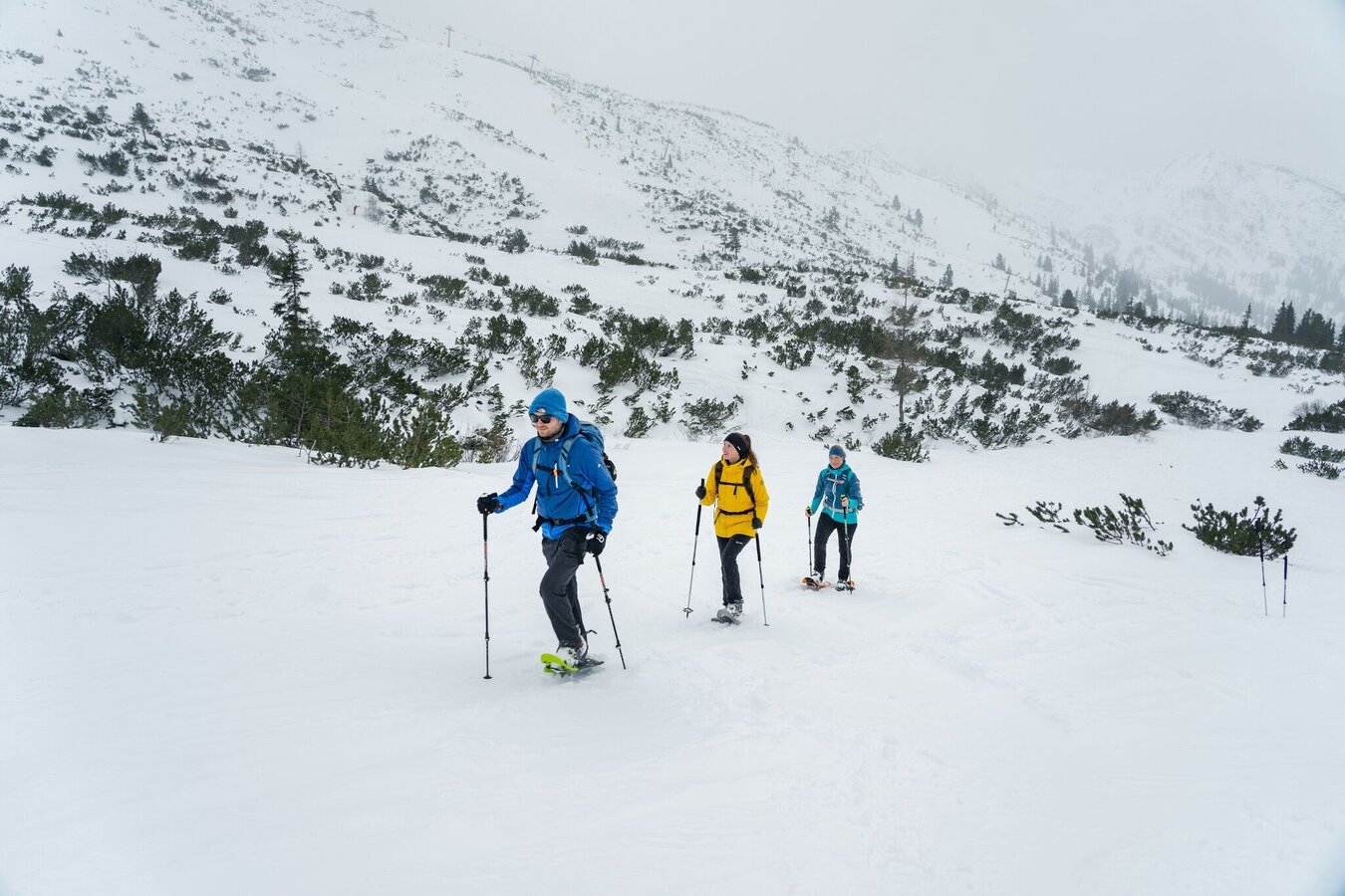
Snowshoeing Plannersee Loop | © Erlebnisregion Schladming-Dachstein | Christoph Lukas
2/7
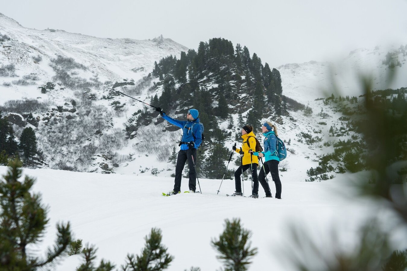
Snowshoeing Plannersee Loop | © Erlebnisregion Schladming-Dachstein | Christoph Lukas
3/7
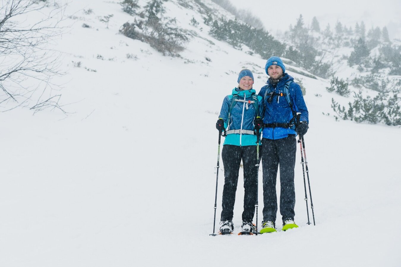
Snowshoeing Plannersee Loop | © Erlebnisregion Schladming-Dachstein | Christoph Lukas
4/7
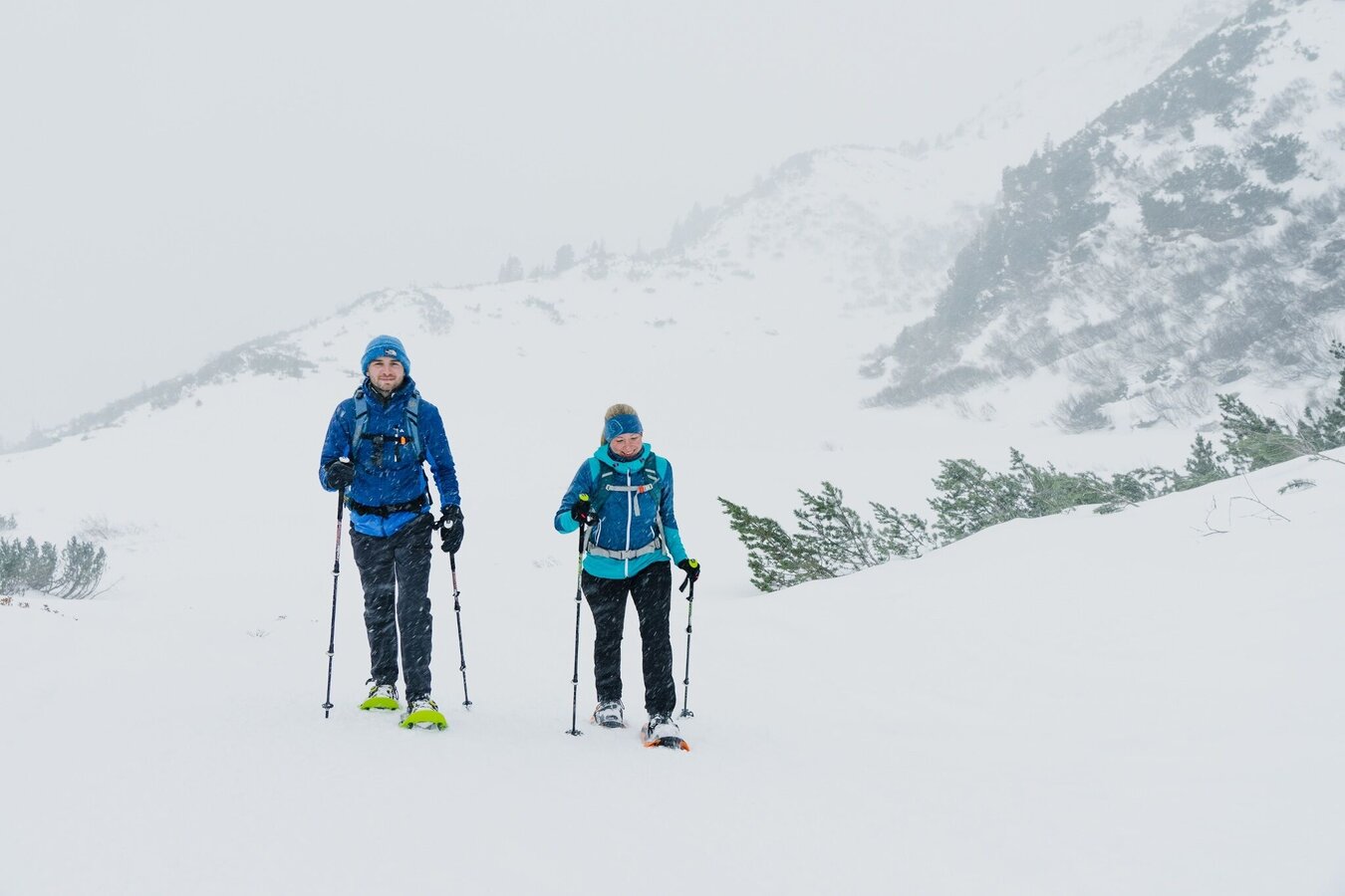
Snowshoeing Plannersee Loop | © Erlebnisregion Schladming-Dachstein | Christoph Lukas
5/7
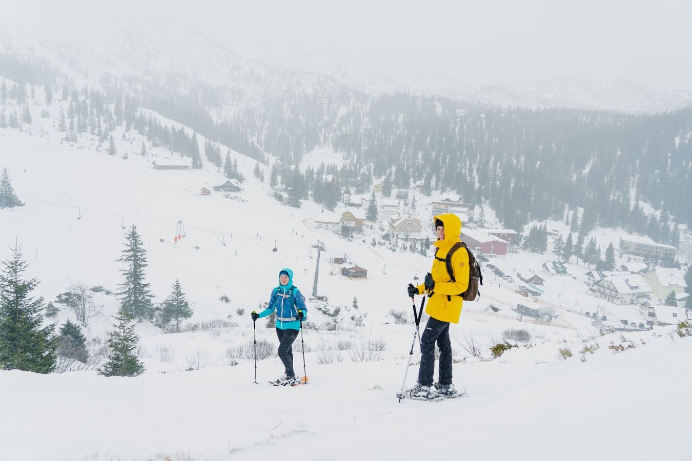
Snowshoeing on the Planneralm | © Erlebnisregion Schladming-Dachstein | Christoph Lukas
6/7
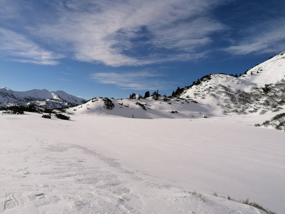
Verschneiter Plannersee | © Erlebnisregion Schladming-Dachstein | Barbara Luidold
7/7

What the weather will be like Irdning-Donnersbachtal (665m)
Today, 28.10.2026
Relatively sunny during the day, but maybe some rain in the evening.Morning

3°C
sr.Regenwahrscheinlichkeit
0%
sr.Windstärke
0 km/h
Noon

10°C
sr.Regenwahrscheinlichkeit
30%
sr.Windstärke
5 km/h
Night

9°C
sr.Regenwahrscheinlichkeit
80%
sr.Windstärke
5 km/h
Tomorrow, 29.10.2026
The day will be dry, but mostly cloudy with occasional sunny spells.Morning

6°C
sr.Regenwahrscheinlichkeit
60%
sr.Windstärke
5 km/h
Noon
10°C
sr.Regenwahrscheinlichkeit
50%
sr.Windstärke
5 km/h
Night
6°C
sr.Regenwahrscheinlichkeit
10%
sr.Windstärke
5 km/h
Forecast
30.10.2026
1°C
11°C
31.10.2026
2°C
10°C
01.11.2026
2°C
10°C
