


Partially opened
Smelting Furnace Tour
Accessible by public transport- Hiking bus (within 15 minutes walking distance from starting point)
Characteristics
SkillThe tour in numbers
Level of difficulty
easy
Route
3,3 km
Time
1:15 h
Uphill
55 hm
Downhill
55 hm
Highest point
1091 m
Nice and easy walk for the whole family - don't miss a visit at the smelting furnace! The audio guide app "Story2Go Schladming" accompanies you.
This easy tour, which is suitable for push-chairs, takes you from Wehrhofalm to the historic smelting furnace - Europe's last ruine of a melting furnace combined with a walkable glass cabinet. The smelting furnace is open to the public as "Nickel Museum" on Wednesdays and Fridays during the summer season.
Best season
January
February
March
April
May
June
July
August
September
October
November
December
More information
From Schladming take provincial highway L722 to Rohrmoos, at the roundabout make a left into the direction of Untertal and Obertal on provincial highway L723, in Untertal Ort turn right after the Hotel Landauerhof and follow the road to Wehrhofalm in Obertal.
Parking is available at the trail head Wehrhofalm in Obertal.
Parking is available at the trail head Wehrhofalm in Obertal.
The round begins at the Wehrhofalm. Opposite the bus stop, cross the bridge and then walk along the forest road to the left through a short section of forest and then along the edge of the forest. After a slight uphill section, your path branches off to the left onto another forest road and after just a few minutes you reach the Nickel Museum.
From the museum you hike along the forest road back to the Wehrhofalm. Alternatively, you can turn right down to Obertalstraße immediately after the signposted forest road fork. From there, walk along the Obertalstraße into the valley until you reach the start of the gravel road. Now you turn left onto the access road to the Hirsch forestry administration. At the small chapel you keep left and walk past it out of the valley to the pond at the Wehrhofalm, where you can comfortably stop off.
You can also start the tour at the Hopfriesen hiking portal.
Some sections of the trail are very close to water (along the Obertalbach creek and passing the pond at Wehrhofalm). Special attention is required with smaller kids!
Changes in weather patterns, quick falls in temperature, thunderstorms, wind, fog and snow are some of the dangers that can be encountered on a hiking tour. Hosts of alpine huts and mountain refuges have a lot of experience in the mountains and can give good advice about weather and the trails. Poor equipment, overestimation of one's own capabilities, carelessness, poor personal constitution and/or wrong judgement can lead to critical situations. In case of thunderstorms: avoid summits, ridges and steel ropes.
GPS data and orienteering
Available GPS data - just like hiking maps - is only a guidance for orientation and can never depict a trail exactly with all its details. Especially at dangerous spots it is essential to judge on site how to proceed.
In an emergency please call:
- 140 - for Alpine emergencies (all over Austria)
- 112 - European GSM emergency number
A well-packed backpack is helpful and especially when touring Alpine terrain a tuque, gloves, a windproof jacket and pants are standard equipment. Good, waterproof shoes, sun glasses, sun cream and sufficient beverages are essential too. Torch light, a map of the area, knie and a small first-aid kit should also be in the backpack.
If you register in advance, you have the oppurtunity to take part in a guided tour of the "Bromriesenstollen" mine, which is close to the tour. Further information about the Nickel Museum and mine tour is available at the tourist offices or online www.wildewasser.at
With the Planai buses from Schladming (Planet-Planai, Lendplatz) or Rohrmoos (Rohrmoos-Zentrum) to Obertal - bus stop Wehrhofalm.
- Buses of Planai-Hochwurzen-Bahnen: www.planaibus.at
- App-Store-Download "Story2Go Schladming"https://apps.apple.com/at/app/story2go-schladming/id1571490862
- Google-Play Download "Story2Go Schladming"https://play.google.com/store/apps/details?id=de.radiotourism.story2go.schladming&gl=AT
- Information about buses schedules:www.planaibus.at
- Hiking map ‘Hiking WEST’ available at the information offices in the region.
- Schladming hiking map, 1:25,000, available at the Schladming information office.
- Hiking map Schladming-Dachstein, 1:50,000, available at the information offices in the region.
- Hiking guide Schladming-Dachstein by Herbert Raffalt, available at the information offices in the region.
Map & downloads
Gallery
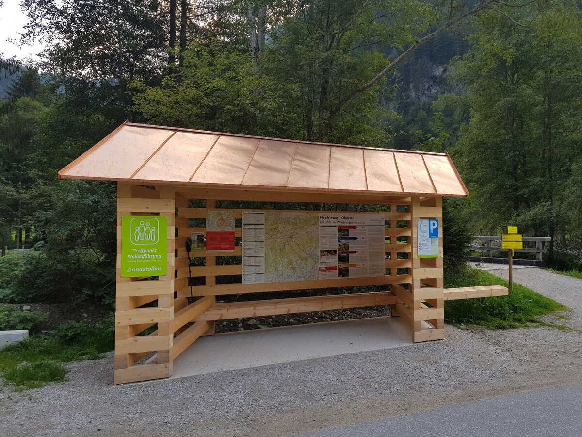
Info point Hopfriesen in Obertal valley with hiking map and trail signage | © Gerhard Pilz | Gerhard Pilz
1/7
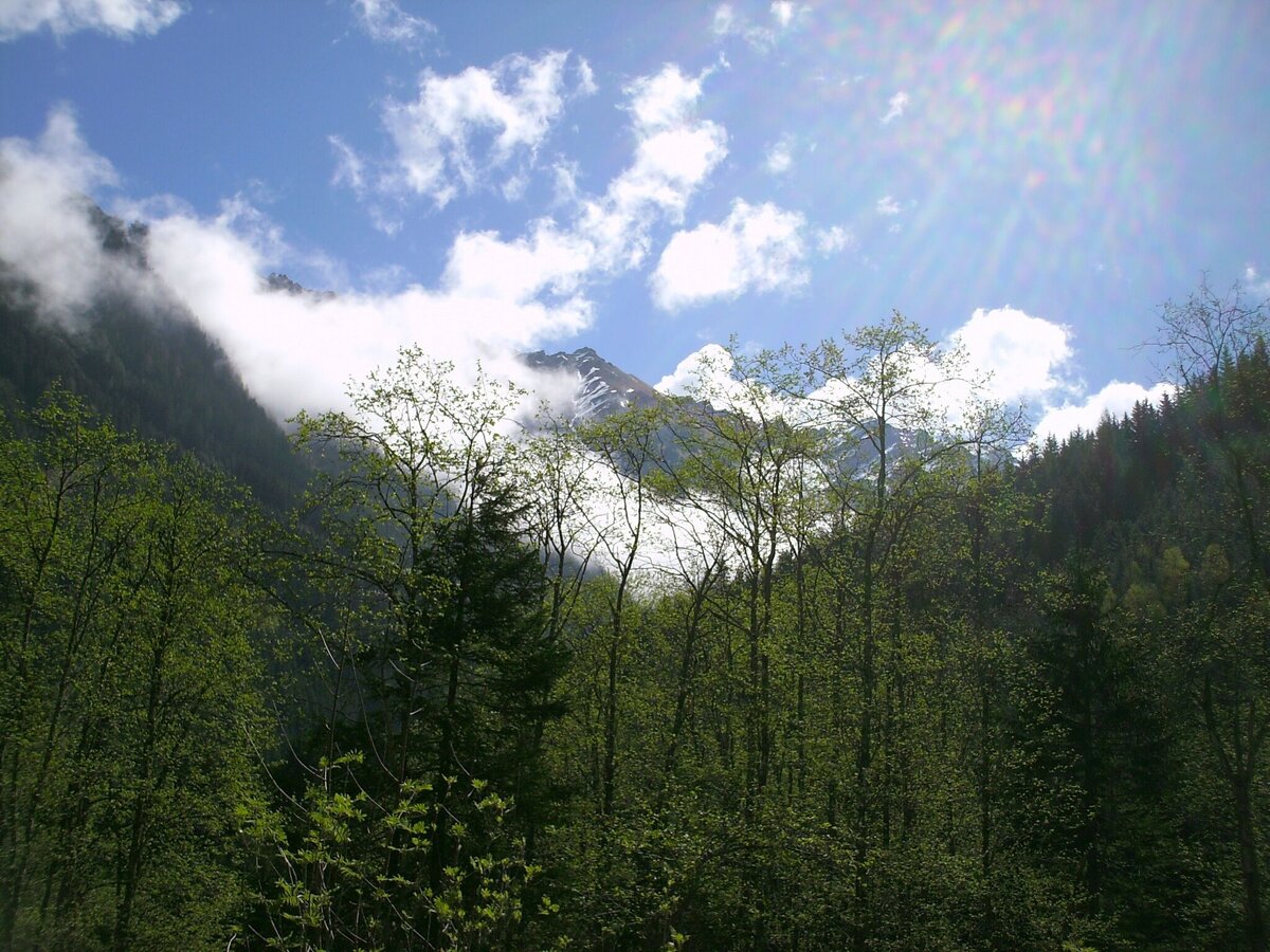
View from Nickel museum towards the mountains where miners went | © Erlebnisregion Schladming-Dachstein | TVB Schladming-Dachstein
2/7
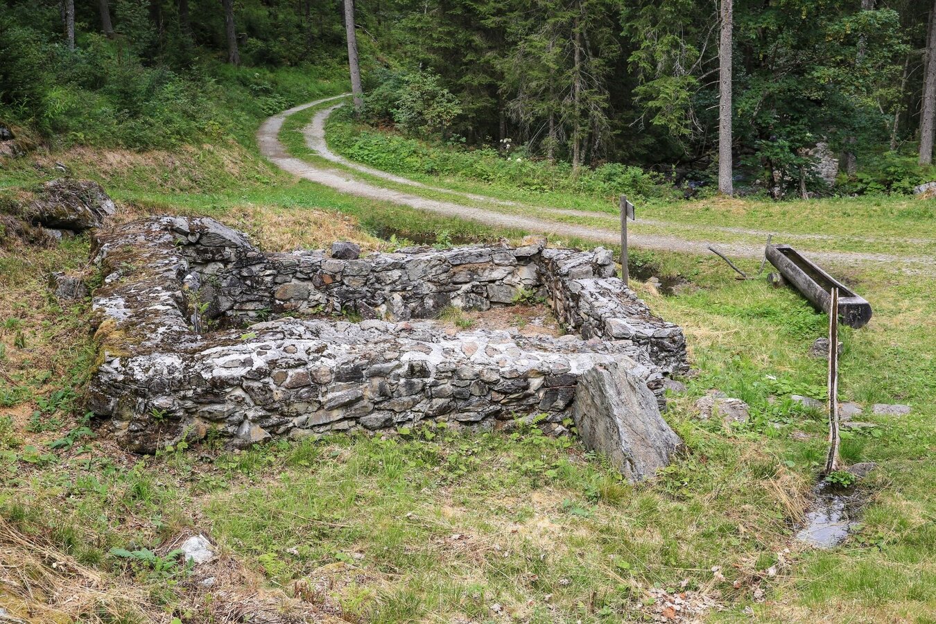
Die Schmelzofenrunde führt zum Nickelmuseum Hopfriesen | © Martin Huber | Gerhard Pilz
3/7
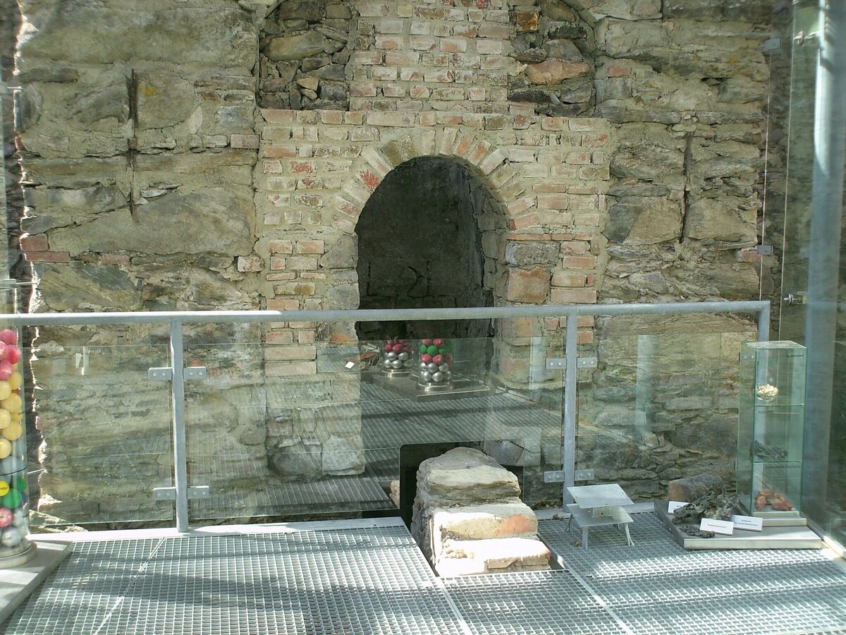
The historic smelting furnace in the Nickel museum | © Erlebnisregion Schladming-Dachstein | Tourismusverband Schladming
4/7
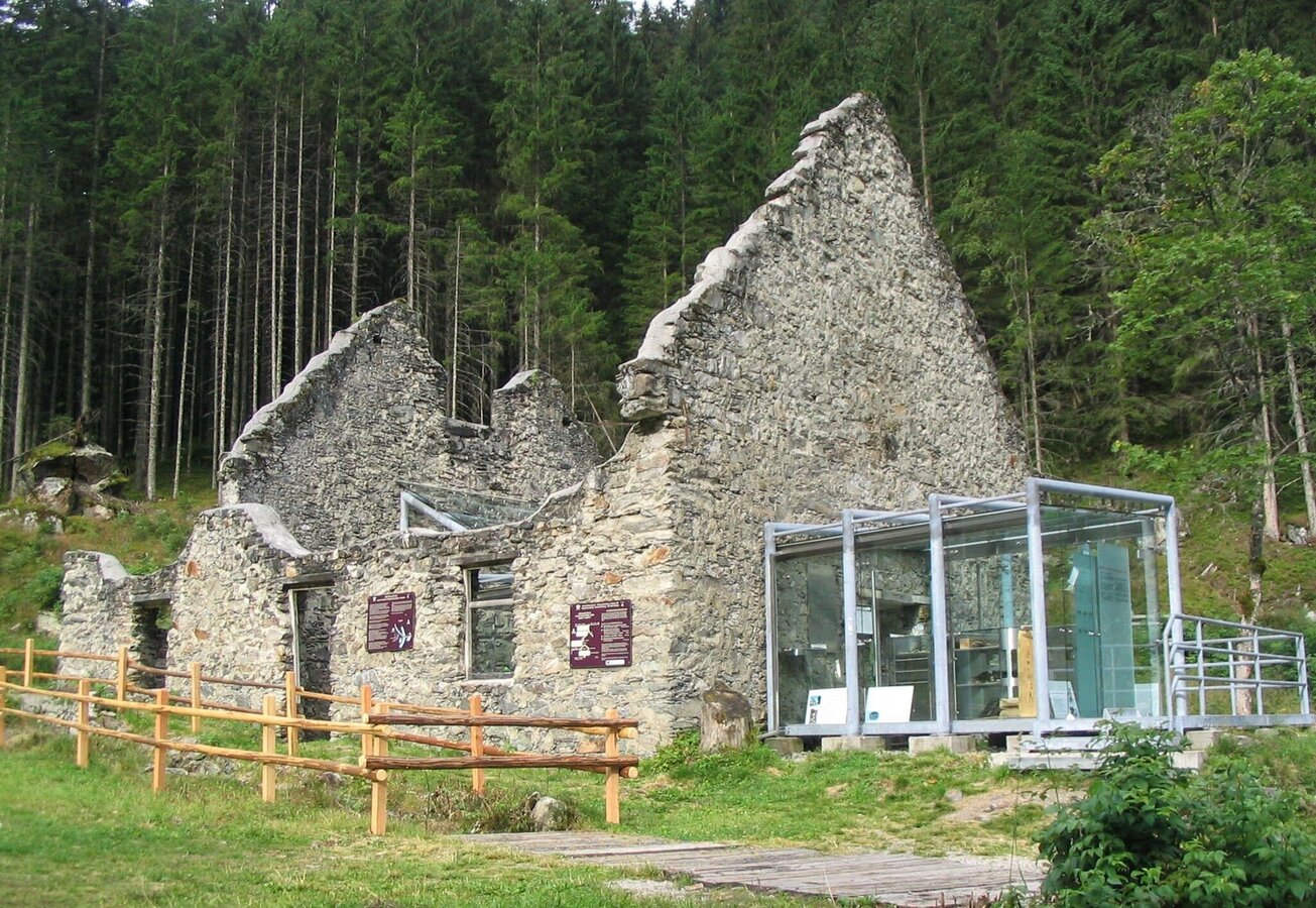
Nickel Museum - historic smelting furnace in Obertal valley | © Erlebnisregion Schladming-Dachstein | Tourismusverband Schladming
5/7
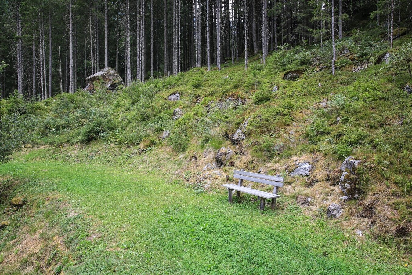
Bankerl am Schmelzofenrundweg beim Nickelmuseum | © Martin Huber | Gerhard Pilz
6/7
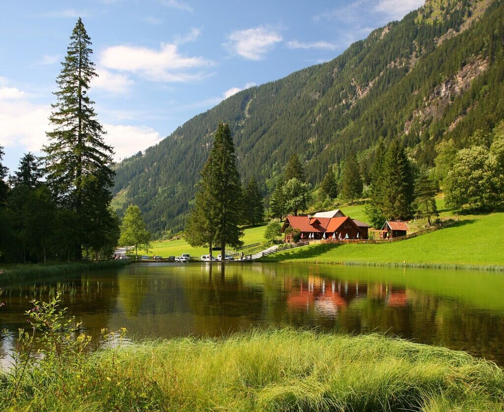
Wehrhofalm, Obertal valley | © Erlebnisregion Schladming-Dachstein | Tourismusverband Schladming
7/7

What the weather will be like Schladming (740m)
Today, 09.10.2026
Morning clouds will clear gradually. Then frequent sunny periods.Morning

7°C
sr.Regenwahrscheinlichkeit
90%
sr.Windstärke
5 km/h
Noon

14°C
sr.Regenwahrscheinlichkeit
15%
sr.Windstärke
5 km/h
Night
10°C
sr.Regenwahrscheinlichkeit
0%
sr.Windstärke
5 km/h
Tomorrow, 10.10.2026
A fair early morning, later increasing cloudiness and frequent showers.Morning
7°C
sr.Regenwahrscheinlichkeit
5%
sr.Windstärke
0 km/h
Noon

13°C
sr.Regenwahrscheinlichkeit
50%
sr.Windstärke
5 km/h
Night

10°C
sr.Regenwahrscheinlichkeit
70%
sr.Windstärke
5 km/h
Forecast
11.10.2026
7°C
14°C
12.10.2026
3°C
13°C
13.10.2026

2°C
14°C
