


Skitour Kochofen
The tour in numbers
Level of difficulty
medium
Route
7,6 km
Time
3:00 h
Uphill
725 hm
Downhill
725 hm
Highest point
1916 m
Ascent from the Michaelerberghaus to the Kochofen.
For this ski tour you should already have real practice. Via the summer trails no. 23 and no. 22 you go up to the Kochofen. Leave the turnoff to Loskögerl on the right and continue to follow the trail to Riestörl (1,650 m) to the east. While you lose quite a bit of altitude during the last meters to the Riestörl, there is often a trail steeply uphill to the right that also leads to the summit - otherwise you can follow the summer markings without hesitation, which are also supplemented by some ski markings. The last 100 meters of altitude over the steep north-east ridge require careful tracking until you reach the summit cross.
Best season
January
February
March
April
May
June
July
August
September
October
November
December
More information
On the Ennstal road (B320) coming from Radstadt or Liezen to Gröbming, from there S-ward down to the Ennsboden and on to Gröbming station in Moosheim and further on up the Michaelerberg to the Michaelerberghaus.
Parking space Michaelerberghaus
For experienced ski tourers and only at your own risk, continue from the Michaelerberghaus via summer trails 23 and 22 to the Kochofen. Leave the turn-off to Loskögerl on the right and continue to follow the trail to Riestörl (1650m) to the east. While the last few metres to the Riestörl again lose some metres, there is often a trail steeply uphill to the right that also leads to the summit - otherwise you can follow the summer markings without hesitation, which are also supplemented by some new ski markings.
The last 100 hm over the steep NE ridge require careful tracking until you reach the mostly wind-blown summit cross.
Mountain sports and the assessment of the situation on site is your own responsibility. Tourism organisations or avalanche warning services do not accept any liability based on the information provided.
- Check the weather and avalanche situation the evening before every ski tour at www.lawine-steiermark.at, avalanche mobile phone: +43 664 8105928
- Don't go on a ski tour alone. It's more fun together anyway!
- Always behave in a risk-aware manner and react to danger signs!
- Observe existing regulations, e.g. hunting and wildlife protection areas, reforestation or young growth areas.
- You should always have a fully charged mobile phone with you. Have you also saved the emergency numbers? Mountain rescue: 140. If you have no signal, take out the SIM card and dial 112.
- Avalanche beacon, probe and shovel are essential in open terrain.
- Ski touring equipment consisting of skis/splitboard, skins, poles and possibly crampons.
- Food, warm drinks, spare clothing and a first aid kit.
- Choose your clothing according to the onion layer principle.
- Maps and/or tour descriptions. GPX tracks on your mobile phone or GPS device are also helpful.
- You can rent ski touring and safety equipment from Sport Mandl Gröbming
SummitLynx - Your digital summit and hut book - available worldwide and always with you!
Mountain guide from the region: www.schladming-dachstein.at/bergführer
Tourismusverband Schladming-Dachstein
Tel.: +43 3687 233 10
Map & downloads
Gallery
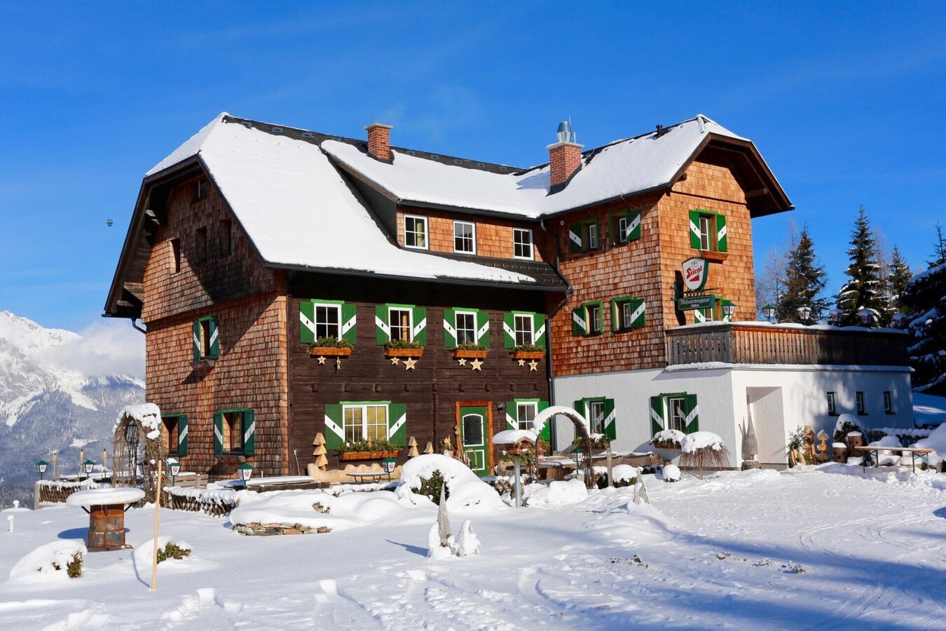
Michaelerberghaus in winter | © Erlebnisregion Schladming-Dachstein | Schladming Dachstein - TVB Gröbminger Land
1/3
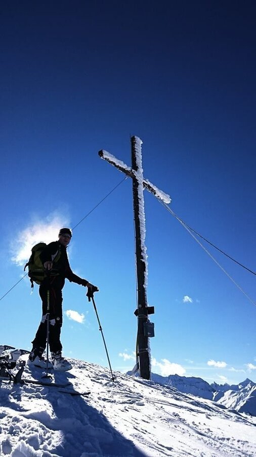
Ski tour on the Kochofen | © Erlebnisregion Schladming-Dachstein | Schladming Dachstein - TVB Gröbminger Land
2/3
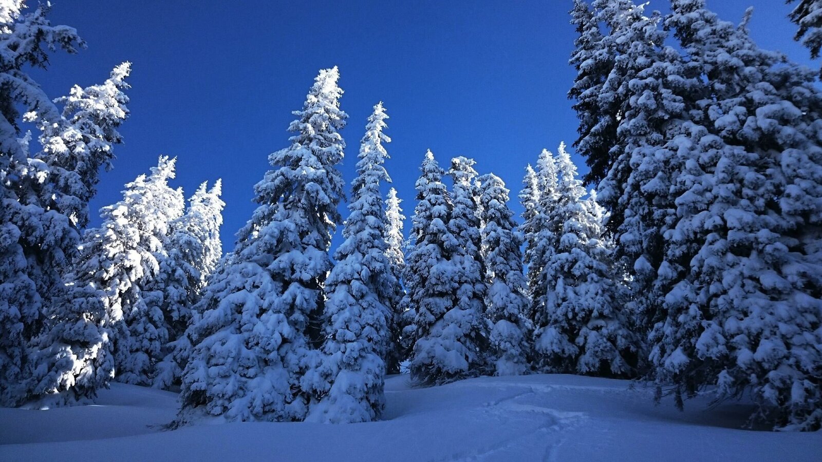
Ski tour Kochofen winter landscape | © Erlebnisregion Schladming-Dachstein | Schladming Dachstein - TVB Gröbminger Land
3/3

What the weather will be like Michaelerberg-Pruggern (686m)
Today, 24.09.2026
Fair in the early morning, then considerable cloudiness and frequent rain.Morning

9°C
sr.Regenwahrscheinlichkeit
0%
sr.Windstärke
5 km/h
Noon

14°C
sr.Regenwahrscheinlichkeit
80%
sr.Windstärke
10 km/h
Night

11°C
sr.Regenwahrscheinlichkeit
85%
sr.Windstärke
5 km/h
Tomorrow, 25.09.2026
Early clouds will clear to leave the region with a dry and sunny day.Morning
6°C
sr.Regenwahrscheinlichkeit
10%
sr.Windstärke
0 km/h
Noon

17°C
sr.Regenwahrscheinlichkeit
0%
sr.Windstärke
5 km/h
Night

10°C
sr.Regenwahrscheinlichkeit
0%
sr.Windstärke
5 km/h
Forecast
26.09.2026
4°C
20°C
27.09.2026
4°C
21°C
28.09.2026
6°C
23°C
