


Sattelberg Trail
Accessible by public transport- Public bus (within 15 minutes walking distance from starting point)
- Hiking bus (within 15 minutes walking distance from starting point)
- Ski bus
Characteristics
SkillThe tour in numbers
Level of difficulty
medium
Route
3,1 km
Time
1:00 h
Uphill
50 hm
Downhill
110 hm
Highest point
1011 m
A beautiful winter hike through part of the Oberen Leiten and the Strimitz.
The Sattelberg, known as the children's mountain in Ramsau, also offers idyllic hiking opportunities in winter. The Sattelbergweg trail connects the Obere and Untere Leiten with Ramsau Rössing and invites you to enjoy relaxing winter hikes
Best season
January
February
March
April
May
June
July
August
September
October
November
December
More information
From the west: Tauern Autobahn (A 10) to Knoten Ennstal - turnoff direction Graz/Schladming - stay on the Ennstal-Bundesstraße (B320) for approx. 20 km until Schladming - take the turnoff for Ramsau.
From the north: Pyhrn Autobahn (A 9) direction Liezen - take the Ennstal-Bundesstraße (B320) to Schladming - turnoff Ramsau.
There is no public parking available at the starting point in Leiten. If arriving by car, we therefore recommend starting at the Almstube Schlattinger and hiking towards Leiten.
Nearest public parking options:
- Ramsau Kulm, Wanderportal Kulm/Sportmoden-Schrempf (Heimat stop)
- Ramsau Rössing, Alte Mühle parking lot (Alte Mühle stop)
A connection from Obere Leiten and Untere Leiten to Ramsau Rössing. From the Ramsau Leiten - Sonnenhügel bus stop, briefly follow the road towards Obere Leiten and then turn right onto Strimitzweg towards Lodenwalker. Follow this path along the fields and into the forest towards Strimitz. Continue along a forest road for quite a while until you reach Rössingstraße.
About 50 meters up the road is the Schlattinger inn, and 50 meters downhill is the Lodenwalker bus stop. The Ramsau Lodenwalke (loden mill) is about 200 meters further on.
About 50 meters up the road is the Schlattinger inn, and 50 meters downhill is the Lodenwalker bus stop. The Ramsau Lodenwalke (loden mill) is about 200 meters further on.
- Ankle-high, warm shoes, warm clothing, gloves and a hat.
- Depending on the weather, crampons/spikes may be advisable
- Possibly a small backpack with a warm drink in a thermos.
This route offers a suitable alternative or extension to the Leitenrunde trail. Upon arriving in Rössing, there are connections to the Panoramarunde trail.
Bus schedule of the Ramsauer Verkehrsbetriebe: www.rvb.at
- Line 960 to/from Ramsau or Schladming to/from the Sonnenhügel stop
- Line 962 to/from Ramsau to/from the Lodenwalker stop
All tours are summarized and described for you in the Winterfreizeitkare West. This is available free of charge from the Ramsau information office.
Map & downloads
Gallery
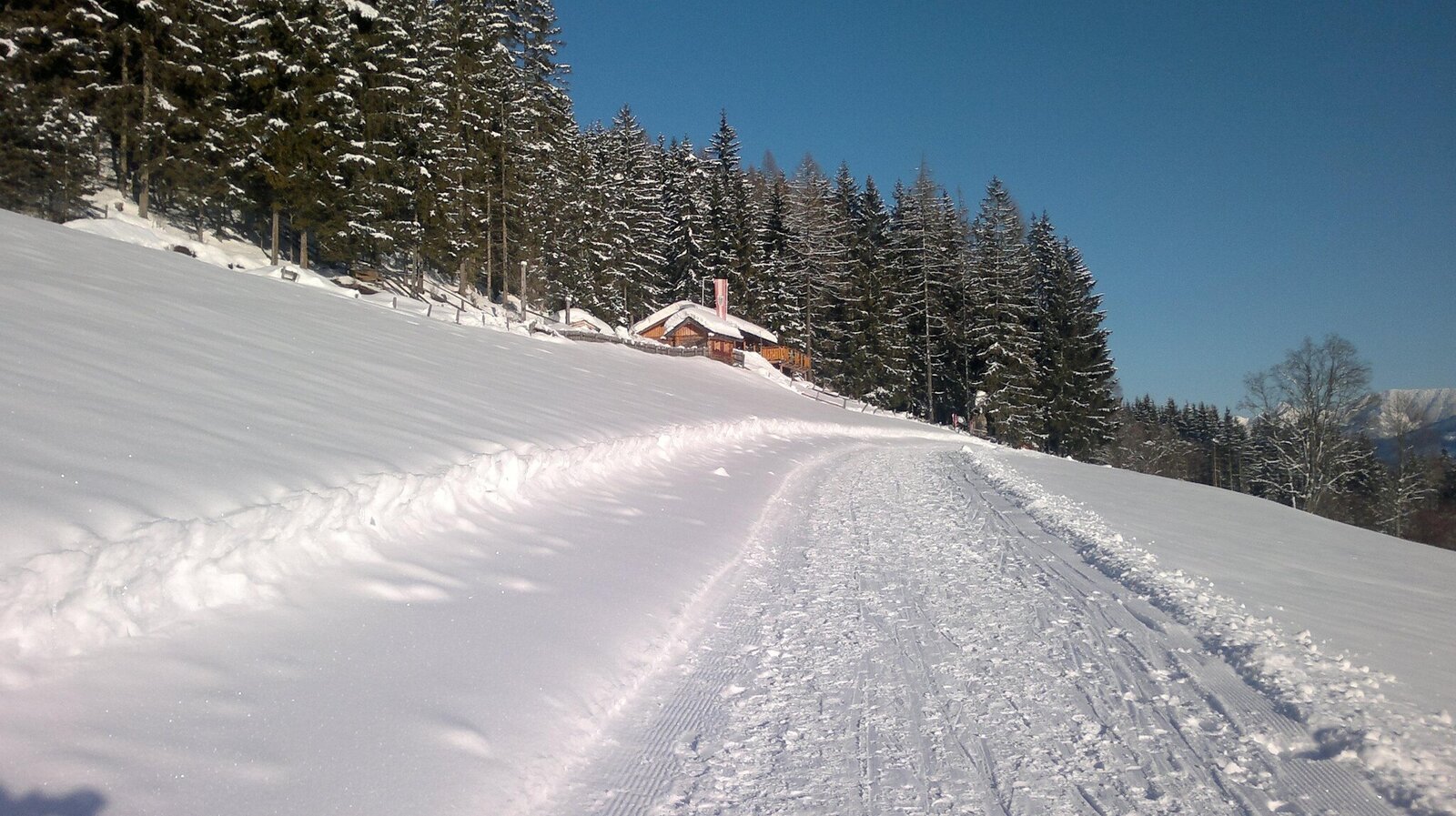
Sattelberghütte Winter | © Sattelberghütte
1/1

What the weather will be like Ramsau am Dachstein (1137m)
Today, 23.10.2026
The day starts sunny, but will be partly cloudy in the afternoon.Morning

1°C
sr.Regenwahrscheinlichkeit
0%
sr.Windstärke
0 km/h
Noon

9°C
sr.Regenwahrscheinlichkeit
0%
sr.Windstärke
5 km/h
Night
5°C
sr.Regenwahrscheinlichkeit
15%
sr.Windstärke
5 km/h
Tomorrow, 24.10.2026
Sleet or rain will continue into the afternoon, then the clouds will break up.Morning

2°C
sr.Regenwahrscheinlichkeit
80%
sr.Windstärke
5 km/h
Noon

4°C
sr.Regenwahrscheinlichkeit
85%
sr.Windstärke
5 km/h
Night

0°C
sr.Regenwahrscheinlichkeit
45%
sr.Windstärke
5 km/h
Forecast
24.10.2026
-2°C
4°C
25.10.2026
-2°C
8°C
26.10.2026
3°C
12°C
