


Salza Waterfall
Accessible by public transport- Public bus (within 15 minutes walking distance from starting point)
Characteristics
SkillThe tour in numbers
Level of difficulty
easy
Route
3,8 km
Time
1:00 h
Uphill
25 hm
Downhill
25 hm
Highest point
676 m
The Salza waterfall is an idyllic spot in the Gröbminger Land and offers a tremendous nature experience. Leave everyday life behind you and enjoy the spectacle of the water when the 40 m high spray of the waterfall flows into a "lagoon".
An ideal place for humans and animals to spend time together and be fascinated by the spectacle of the water when the 40m high spray of the waterfall flows into a "lagoon". The tour starts at the new car park directly after the entrance to the Salza. Follow the signs along the road until you reach the bridge, where you then turn right over a footbridge to the waterfall.
Note: From the bridge uphill to the left, you reach the Salza reservoir after a longer walk.
Best season
January
February
March
April
May
June
July
August
September
October
November
December
More information
B320 federal road - Salza junction
Salza car park
Salza car park
An ideal place for humans and animals to spend time together and be fascinated by the spectacle of the water when the 40m high spray of the waterfall flows into a "lagoon". The tour starts at the new car park directly after the entrance to the Salza. Follow the signs along the road until you reach the bridge, where you then turn right over a footbridge to the waterfall.
Note: From the bridge uphill to the left, you reach the Salza reservoir after a longer walk.
Weather upheavals, rapid drops in temperature, thunderstorms, wind, fog and snowfields are objective dangers and require the right behaviour on the road. Hutkeepers are experienced mountain connoisseurs who can give good tips on the weather and the route. Lack of equipment, overestimation of one's own abilities, carelessness, poor physical condition and a wrong assessment can lead to critical situations. During thunderstorms: Avoid peaks, ridges and rope belaying at all costs.
In an emergency, please dial the following emergency calls: No. 140 - Mountain Rescue No. 112 - Euro Emergency Call
For alpine routes, the basic equipment includes a hood, gloves, a good jacket and trousers. Good, waterproof shoes, sunglasses, sun protection and plenty of drinks are essential. Flashlight, maps, knives and a small first aid box are also included.
Tour at your own risk! No liability will be accepted for any given or occurring alpine driving (weather, etc.).
Map & downloads
Gallery
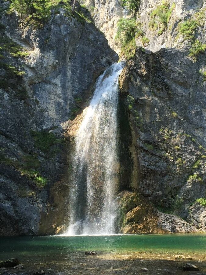
Salza Waterfall | © Erlebnisregion Schladming-Dachstein | Schladming Dachstein - TVB Gröbminger Land
1/6
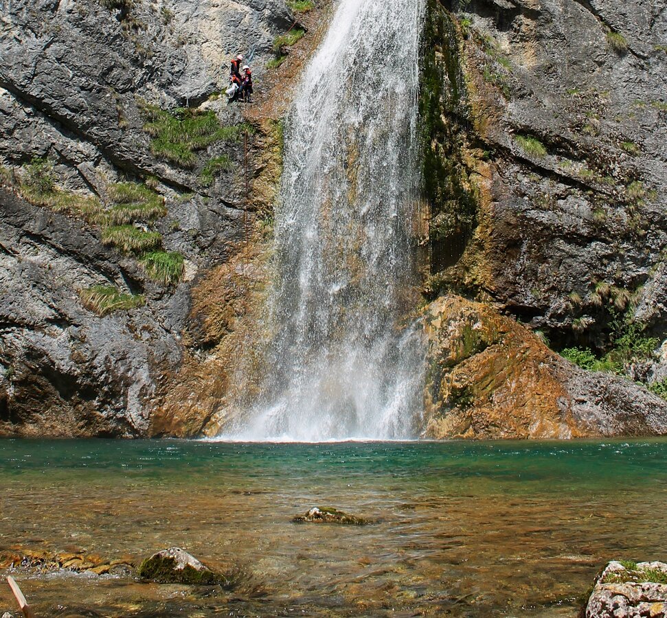
Salza Wasserfall | © Erlebnisregion Schladming-Dachstein | Schladming Dachstein
2/6
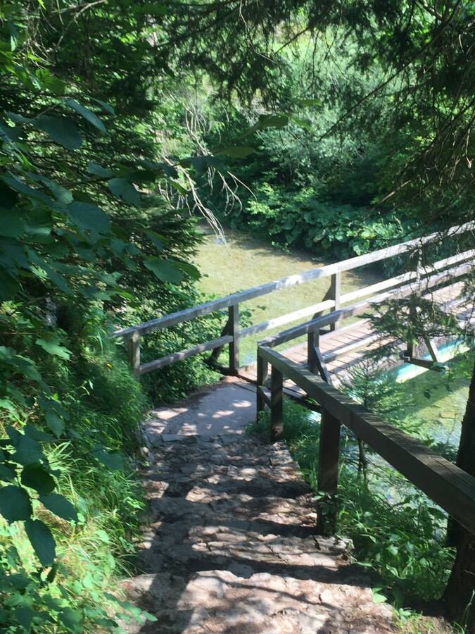
Path to the Salza Waterfall | © Erlebnisregion Schladming-Dachstein | Schladming Dachstein - TVB Gröbminger Land
3/6
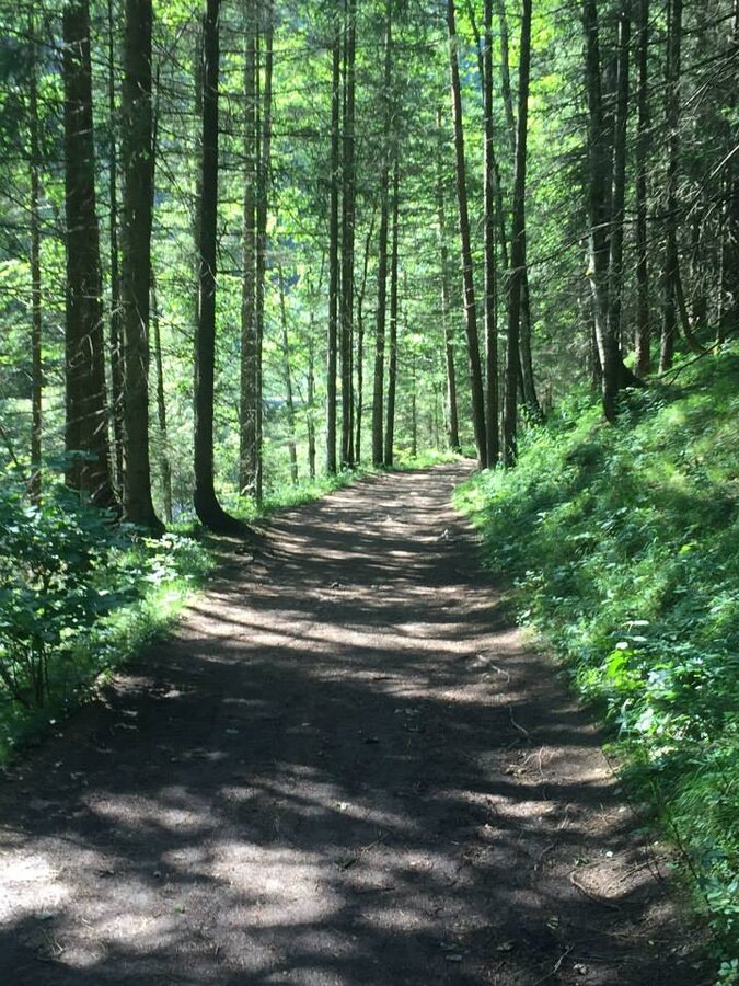
Forest path to the Salza Waterfall | © Erlebnisregion Schladming-Dachstein | Schladming Dachstein - TVB Gröbminger Land
4/6
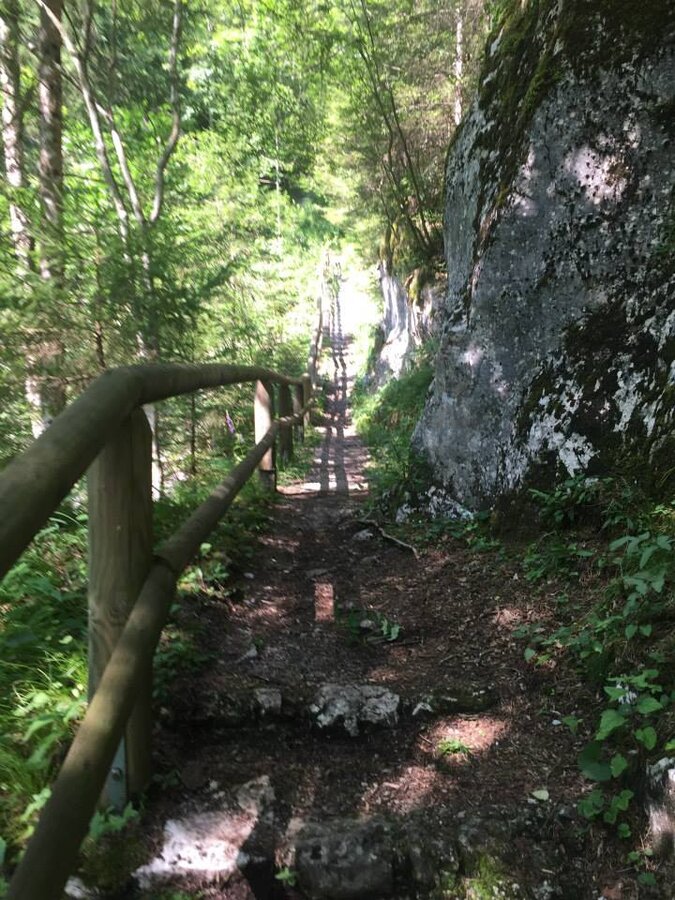
Hiking trail at the Salza Wasserfall | © Erlebnisregion Schladming-Dachstein | Schladming Dachstein - TVB Gröbminger Land
5/6
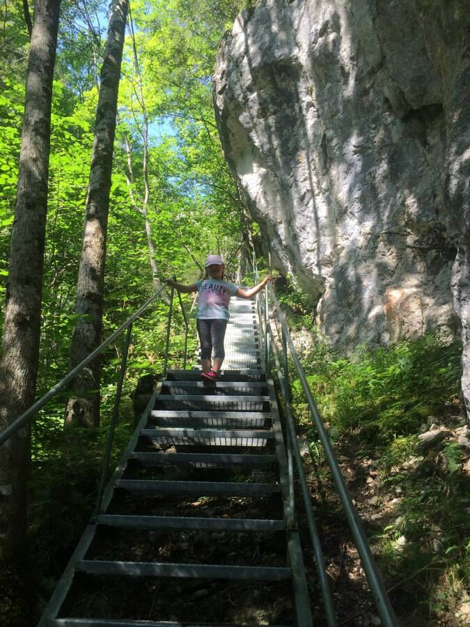
Metal staircase at the Salza Waterfall | © Erlebnisregion Schladming-Dachstein | Schladming Dachstein - TVB Gröbminger Land
6/6

What the weather will be like Mitterberg-Sankt Martin (767m)
Today, 12.10.2026
Showers will die away soon to leave a partly sunny day.Morning

4°C
sr.Regenwahrscheinlichkeit
80%
sr.Windstärke
5 km/h
Noon

12°C
sr.Regenwahrscheinlichkeit
15%
sr.Windstärke
5 km/h
Night
7°C
sr.Regenwahrscheinlichkeit
0%
sr.Windstärke
5 km/h
Tomorrow, 13.10.2026
Dry and sunny throughout the day with hardly any clouds.Morning

1°C
sr.Regenwahrscheinlichkeit
0%
sr.Windstärke
0 km/h
Noon
13°C
sr.Regenwahrscheinlichkeit
0%
sr.Windstärke
5 km/h
Night
7°C
sr.Regenwahrscheinlichkeit
0%
sr.Windstärke
5 km/h
Forecast
14.10.2026

6°C
15°C
15.10.2026
5°C
16°C
16.10.2026
4°C
17°C
