


Rudolf Schober Hütte - St. Nikolai | Schladminger Tauern High Trail: Stage 07
Characteristics
SkillThe tour in numbers
Level of difficulty
medium
Route
12,4 km
Time
5:00 h
Uphill
640 hm
Downhill
1180 hm
Highest point
2273 m
The 7th stage on the Schladminger Tauern Höhenweg takes you from the Rudolf-Schober-Hütte over the Schimpelscharte to Sankt Nikolai in the Sölktal.
The final stage of the Schladminger Tauern High Trail takes you from the neighboring Murau region back to the Schladming-Dachstein region. You can return to the Sölktäler Nature Park via the Schimpelscharte. From there you hike downhill, past the Schimpelsee to the picturesque Hohensee with alpine huts made of marble slabs. On the way out through the Bräualmtal, the Dürmoos waterfall and the wonderfully meandering Bräualmbach are waiting for you.
Best season
January
February
March
April
May
June
July
August
September
October
November
December
More information
From Murau up into the Styrian Krakow and between Krakaudorf and Krakauhintermühlen turn right onto the road to Etrachsee.
Parking lot at Lake Etrach
From the Rudolf Schober Hütte you start by hiking uphill through the forest and then climb along hiking trail #702 to the Schimpelscharte. In front of you is the Schimpelsee within an high alpine cirque, which you then hike down to. It goes downhill with a moderate gradient, past the small Breitenbachsee and over the Schimpelrücken down to the picturesque Hohensee. The walls of the alpine huts there are made of Sölk marble slabs and are a special eye-catcher. First via a hiking trail and then alternately via a forest path and the hiking trail, you reach the end of the Bräualmtal valley where you can marvel at the impressive Dürrmoos waterfall. The route is now quite flat on the alpine path out of the valley. Past the Bräualm and along the beautifully meandering Bräualmbach you finally reach the village of Sankt Nikolai. You have now truly earned a stop at the Gasthof Zum Gamsjäger. In summer you can take the Sölker Tälerbus from Sankt Nikolai (attention! pay attention to the timetable!) back to Stein an der Enns to the train station or to Gröbming.
Changes in weather patterns, quick falls in temperature, thunderstorms, wind, fog and snow are some of the dangers that can be encountered on a hiking tour. Hosts of alpine huts and mountain refuges have a lot of experience in the mountains and can give good advice about weather and the trails. Poor equipment, overestimation of one's own capabilities, carelessness, poor personal constitution and/or wrong judgement can lead to critical situations. In case of thunderstorms: avoid summits, ridges and steel ropes.
- Plan your tour in advance, taking into account walking time, route length, altitude difference, danger spots and weather forecast.
- Together is much more beautiful and at the same time safer in the mountains. Do not go alone, if possible, and adapt the tour to the ability of your group.
- Let them know where you are going and when you want to be back. Also sign hut or summit books.
GPS data and orienteering
Available GPS data - just like hiking maps - is only a guidance for orientation and can never depict a trail exactly with all its details. Especially at dangerous spots it is essential to judge on site how to proceed.
In an emergency please call:
- 140 - for Alpine emergencies (all over Austria)
- 112 - European GSM emergency number
A well-packed backpack is helpful and especially when touring Alpine terrain a tuque, gloves, a windproof jacket and pants are standard equipment. Good, waterproof shoes, sun glasses, sun cream and sufficient beverages are essential too. Torch light, a map of the area, knie and a small first-aid kit should also be in the backpack.
Mountain enthusiasts can branch off slightly below the Schimpelscharte to Süßleiteck (2,507 m), additional time there and back: 2 hours.
The starting point at Rudolf-Schober-Hütte can only be reached by hiking. You can get there on a hike of around 1.5 hours from Etrachsee. In summer you can take the Sölker Tälerbus from Sankt Nikolai (attention! pay attention to the timetable!) back to Stein an der Enns to the train station or to Gröbming.
Hiking map 1:50,000 Schladming-Dachstein, available from the Schladming-Dachstein Tourism Association and its information offices.
Map & downloads
Gallery
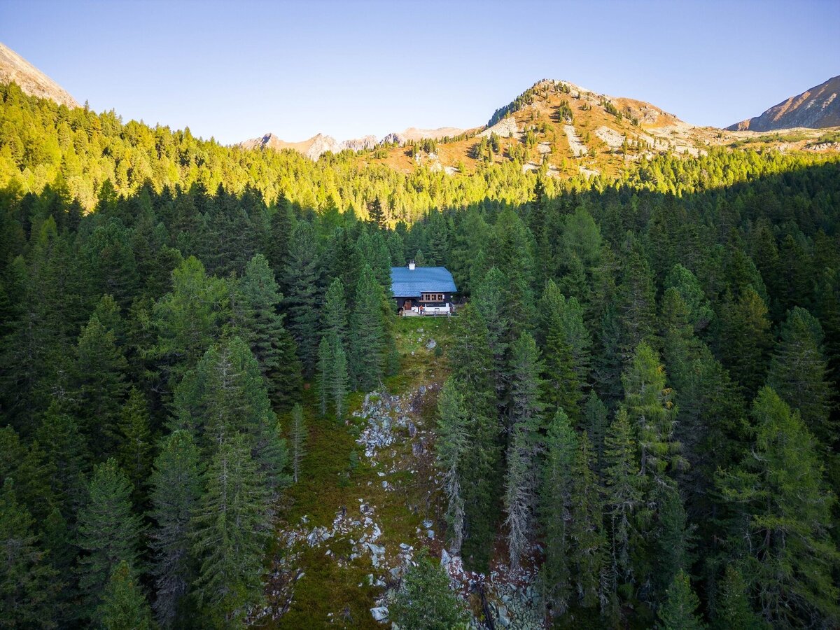
Rudolf-Schober-Hütte in the forest | © Erlebnisregion Schladming-Dachstein | Michael Kuschei
1/9
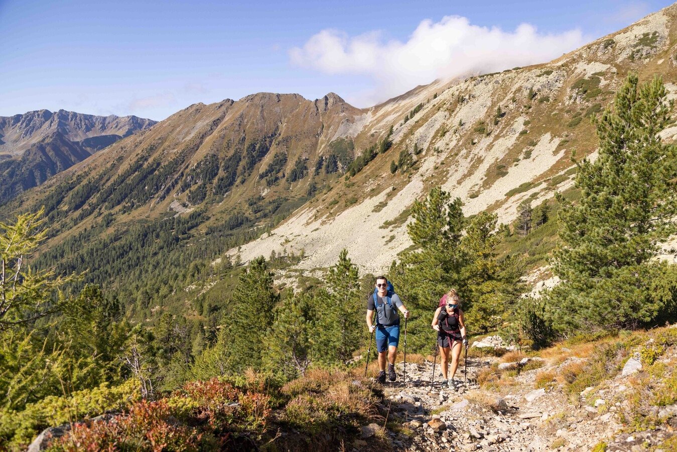
Hike to the Schimpelscharte | © Erlebnisregion Schladming-Dachstein | Michael Kuschei
2/9
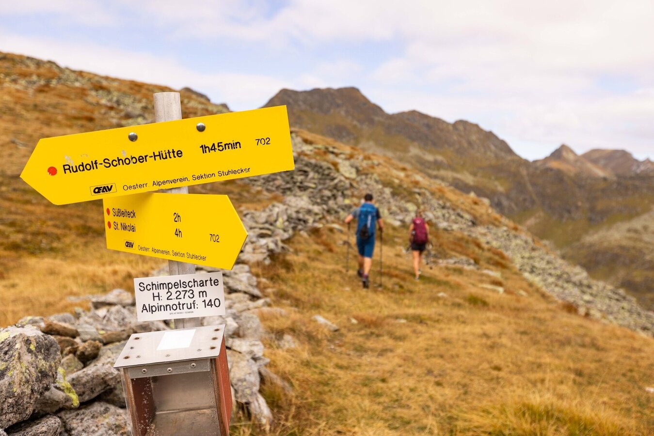
Signpost on the Schimpelscharte | © Erlebnisregion Schladming-Dachstein | Michael Kuschei
3/9
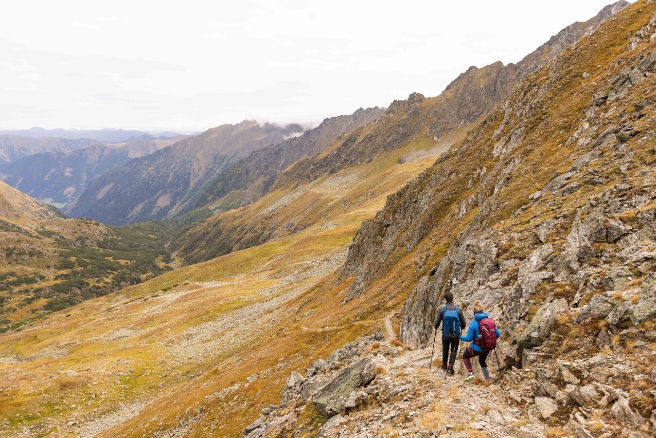
Descent from the Schimpelscharte | © Erlebnisregion Schladming-Dachstein | Michael Kuschei
4/9
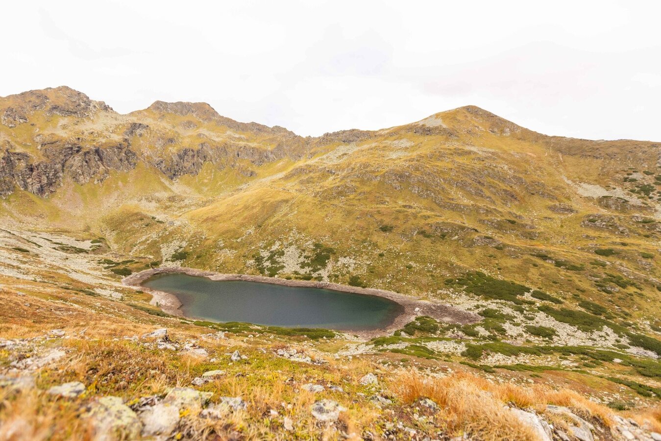
Schimpelsee in the Sölktäler Nature Park | © Erlebnisregion Schladming-Dachstein | Michael Kuschei
5/9
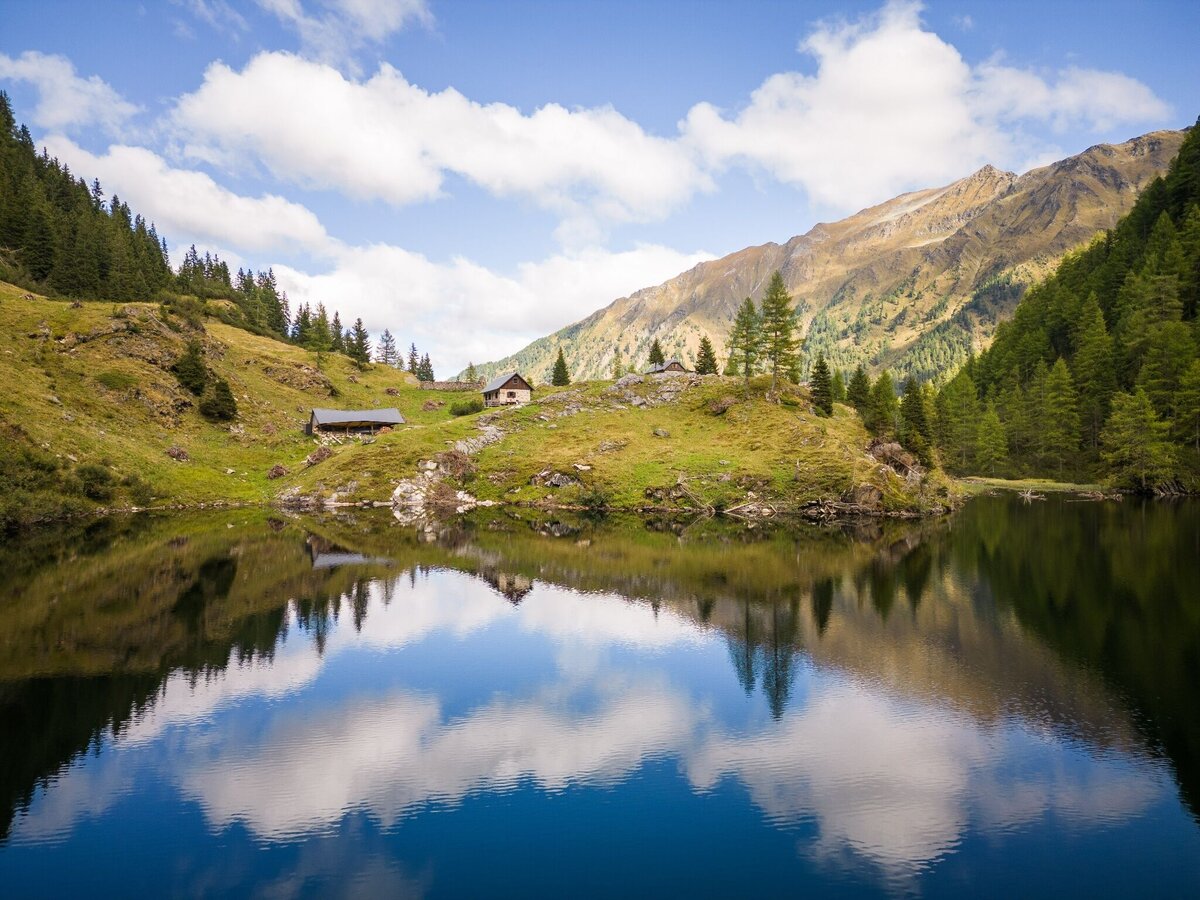
View over the Hohensee | © Erlebnisregion Schladming-Dachstein | Michael Kuschei
6/9
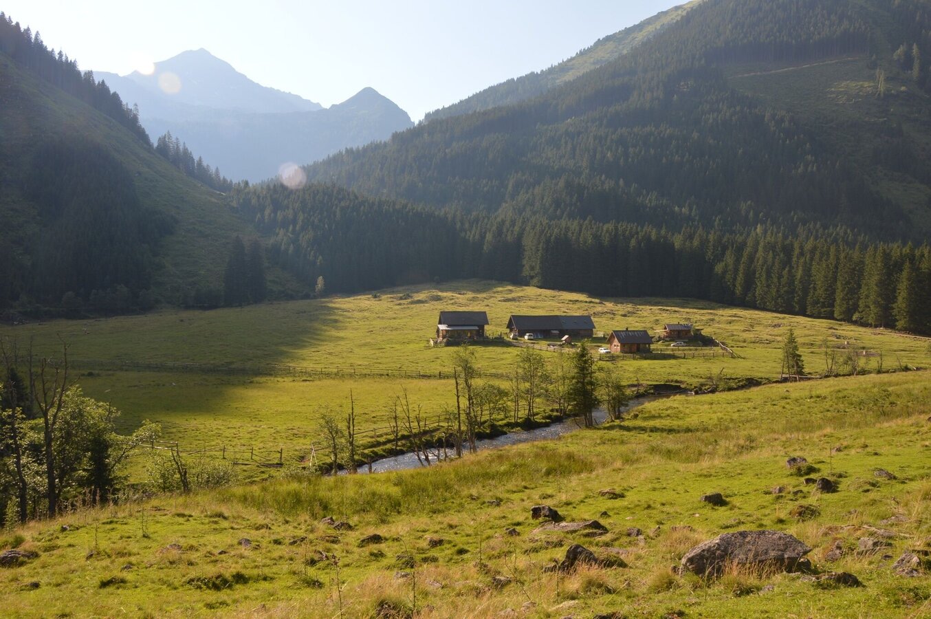
Bräualm with Knallstein | © Fotograf: Volkhard Maier
7/9
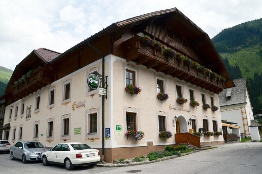
Gasthof zum Gamsjäger | © Unbekannt
8/9
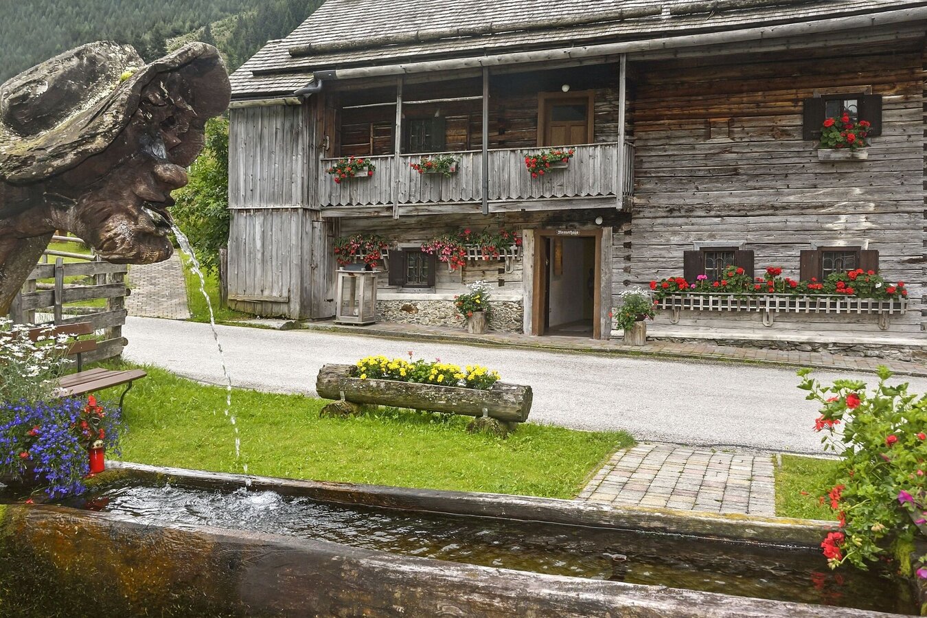
Mesnerhaus in St. Nikolai | © (c) Herfried Marek | Schladming Dachstein - TVB Sölktäler
9/9

What the weather will be like Krakau (1171m)
Today, 25.09.2026
Early clouds will gradually clear to leave the region with a dry and sunny day.Morning

3°C
sr.Regenwahrscheinlichkeit
5%
sr.Windstärke
5 km/h
Noon

13°C
sr.Regenwahrscheinlichkeit
0%
sr.Windstärke
10 km/h
Night

7°C
sr.Regenwahrscheinlichkeit
0%
sr.Windstärke
5 km/h
Tomorrow, 26.09.2026
Dry and sunny throughout the day with hardly any clouds.Morning
4°C
sr.Regenwahrscheinlichkeit
0%
sr.Windstärke
5 km/h
Noon
17°C
sr.Regenwahrscheinlichkeit
0%
sr.Windstärke
5 km/h
Night
10°C
sr.Regenwahrscheinlichkeit
0%
sr.Windstärke
0 km/h
Forecast
27.09.2026
5°C
19°C
28.09.2026
6°C
21°C
29.09.2026
7°C
21°C
