


Römertrail
Accessible by public transport- Public bus (within 15 minutes walking distance from starting point)
Characteristics
SkillThe tour in numbers
Level of difficulty
easy
Route
9,8 km
Time
1:40 h
Uphill
189 hm
Downhill
189 hm
Highest point
763 m
Very varied route that connects the districts of Irdning and Donnersbach. An 80 to 20 mix of asphalt and meadow paths. Grimmingblick included!
Best season
January
February
March
April
May
June
July
August
September
October
November
December
More information
Drive along the B320 until you reach Trautenfels. There turn right in the direction of Irdning. Follow the road until you reach the center of Irdning. The starting point is the red building on the right side where the office of the tourist office is located.
Parkinglplace on the opposite from the tourist office or at the Spar Landmarkt.
Parkinglplace on the opposite from the tourist office or at the Spar Landmarkt.
Trail number: 14
- Plan your trail in advanceInform yourself about the course of the trail and its demands
- Pay attention to weather forecasts and weather changes
- Let others know where you are going
- Adapt your equipment to the weather and the trail
- Be aware of livestock when crossing pasture
- Trail running shoes - no asphalt running shoes
- Running backpack or vest depending on the length of the tour hydration bladder or softflasks
- thin windbreaker
- first aid kit, including emergency blanket
- cell phone
- energy bar
- money
- change of shirt
- Headband
- Sunglasses
With the train to,,Stainach-Irdning or ,,Liezen'' and than with the bus 940 to ,,Irdning Busbahnhof''.
All informations under:
Tourism information: www.schladming-dachstein.at
Tourism blog: www.derbergdastal.at
www.schladming-dachstein.at/de/Sommer/Wandern-und-Bergsport/Laufen-und-Trailrunning
Tourist Office Schladming-Dachstein
Ramsauerstrasse 756
8970 Schladming
T: +43 3687 23310
Garbage on meadows and paths can not smell mountain and valley. Please take it with you. Agriculture and forestry are important partners for Berg und Tal. They allow you to walk and drive on many of their paths. Be aware that only good cooperation will guarantee your recreational enjoyment in the future.
- Trailrunning map Schladming-Dachstein: available free of charge at all info locations
Map & downloads
Gallery
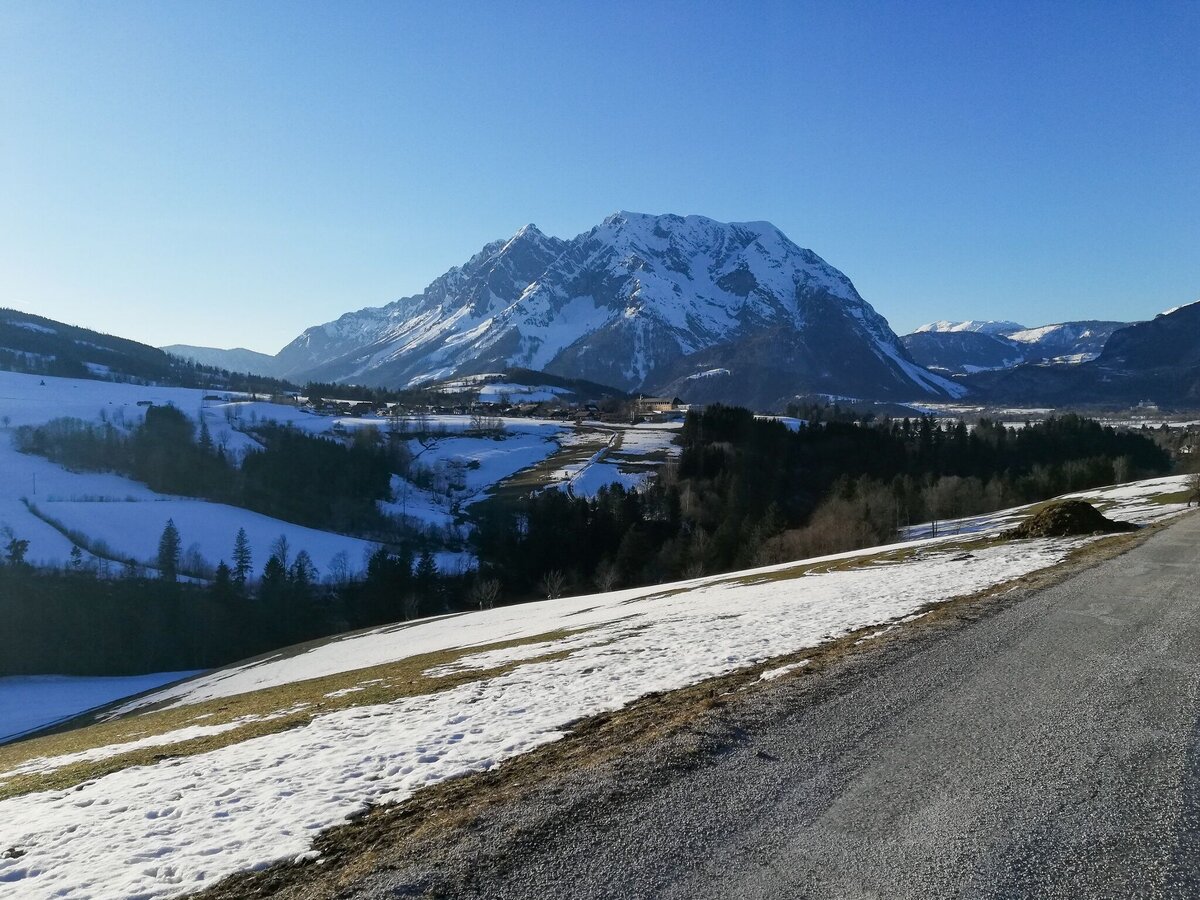
Winter landscape along the Römerlauf | © Erlebnisregion Schladming-Dachstein | Roland Gutwenger
1/3
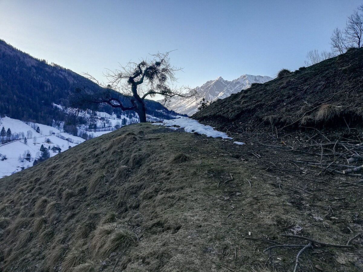
Römerlauf mountain landscape | © Erlebnisregion Schladming-Dachstein | Roland Gutwenger
2/3
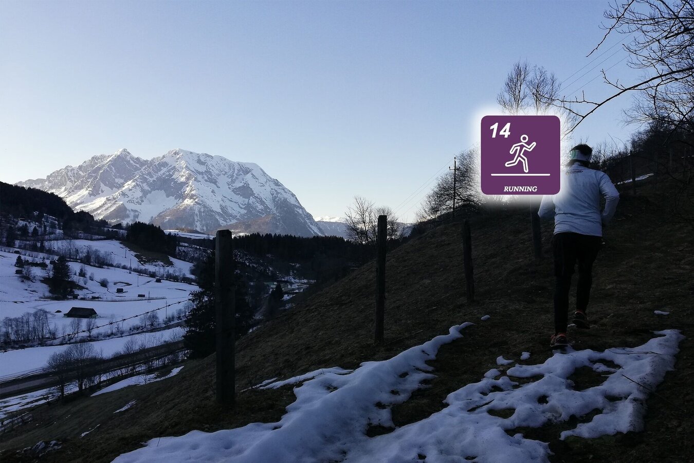
Trail running with a view of the Grimming | © Erlebnisregion Schladming-Dachstein
3/3

What the weather will be like Irdning-Donnersbachtal (665m)
Today, 04.10.2026
Early clouds will clear to leave the region with a dry and sunny day.Morning

7°C
sr.Regenwahrscheinlichkeit
0%
sr.Windstärke
0 km/h
Noon
19°C
sr.Regenwahrscheinlichkeit
0%
sr.Windstärke
0 km/h
Night

13°C
sr.Regenwahrscheinlichkeit
0%
sr.Windstärke
5 km/h
Tomorrow, 05.10.2026
Rather cloudy in the morning, then sunny spells will develop gradually.Morning

7°C
sr.Regenwahrscheinlichkeit
0%
sr.Windstärke
0 km/h
Noon

19°C
sr.Regenwahrscheinlichkeit
10%
sr.Windstärke
5 km/h
Night
12°C
sr.Regenwahrscheinlichkeit
15%
sr.Windstärke
5 km/h
Forecast
06.10.2026
5°C
21°C
07.10.2026
5°C
20°C
08.10.2026

6°C
16°C
