


Rittisberg Trail
Accessible by public transport- Train (within 15 minutes walking distance from starting point)
- Public bus (within 15 minutes walking distance from starting point)
- Ski bus
Characteristics
SkillThe tour in numbers
Level of difficulty
medium
Route
9,5 km
Time
3:30 h
Uphill
105 hm
Downhill
425 hm
Highest point
1554 m
The hike begins with the ascent of the Rittisberg gondola lift. From the mountain station, you follow a well-marked path towards the summit cross. Past the Sonnenalm, Halseralm and Rösteralm, you can enjoy the alpine idyll. Optionally, you can hike on to the Wiesmahdalm. A magnificent view of the Dachstein massif awaits you at the summit. The descent leads along a leisurely forest path back to the valley station. Total time: approx. 3 hours, ideal for families and leisure hikers.
Best season
January
February
March
April
May
June
July
August
September
October
November
December
More information
From the west:
Tauern Autobahn (A 10) to Knoten Ennstal - turnoff direction Graz/Schladming - stay on the Ennstal-Bundesstraße (B320) for approx. 20 km until Schladming - take the turnoff for Ramsau.
From the north:
Pyhrn Autobahn (A 9) direction Liezen - take the Ennstal-Bundesstraße (B320) to Schladming - turnoff Ramsau.
Rittisberg valley station
Follow the forestry trail (Fairy Tale Trail) up to the top of the Rittisberg chairlift.
In winter, caution is advised even on seemingly easy hikes. In shady areas, the ground can be slightly icy, and there may be avalanche danger below slopes. Mountaineering is therefore primarily a matter of personal responsibility – even more so in winter. Tourist associations and avalanche warning services assume no liability whatsoever based on the information provided.
Your equipment should ideally include:
Your equipment should ideally include:
- Ankle-high, warm shoes. Waterproof, warm shoes with a treaded sole are ideal. Optional: Gaiters for additional snow protection.
- A hood and warm clothing, ideally layered. Don't forget a change of clothes for longer winter hikes: a wind and waterproof jacket and trousers.
- A small backpack with a warm drink in a thermos and snacks as needed
- Sun protection
- Cell phone
- First aid kit
- Optional: crampons/snow spikes (snow chains for shoes), telescopic hiking poles for better grip and balance.
Take the RVB bus line 960 from Schladming to Ramsau am Dachstein. All details can be found in the timetable: www.rvb.at
All hikes are collected and described for you in our Winter Leisure Map West, which is available free of charge from the Ramsau information office.
Map & downloads
Gallery

Access to the Rittisbergbahn | © Michael Simonlehner Photography | Photo Austria - Hans-Peter Steiner
1/4

Winter hiking on the Rittisberg | © Photo Austria - Hans-Peter Steiner | Photo Austria - Hans-Peter Steiner
2/4

Winter hiking on the Rittisberg | © Photo Austria - Hans-Peter Steiner | Photo Austria - Hans-Peter Steiner
3/4
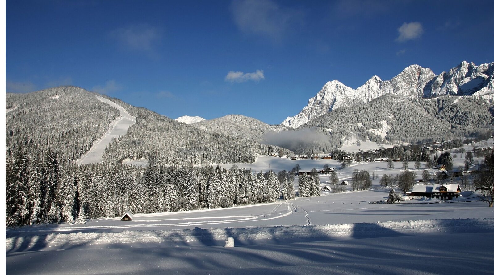
Märchenweg auf den Rittisberg | © Erlebnisregion Schladming-Dachstein | Tourismusverband Schladming-Dachstein
4/4

What the weather will be like Ramsau am Dachstein (1137m)
Today, 16.10.2026
Dry and sunny throughout the day with hardly any clouds.Morning

7°C
sr.Regenwahrscheinlichkeit
0%
sr.Windstärke
5 km/h
Noon
16°C
sr.Regenwahrscheinlichkeit
0%
sr.Windstärke
5 km/h
Night
10°C
sr.Regenwahrscheinlichkeit
0%
sr.Windstärke
5 km/h
Tomorrow, 17.10.2026
Morning clouds will clear gradually. Then frequent sunny periods.Morning

7°C
sr.Regenwahrscheinlichkeit
0%
sr.Windstärke
0 km/h
Noon

15°C
sr.Regenwahrscheinlichkeit
0%
sr.Windstärke
5 km/h
Night

10°C
sr.Regenwahrscheinlichkeit
10%
sr.Windstärke
5 km/h
Forecast
18.10.2026
6°C
15°C
19.10.2026
5°C
15°C
20.10.2026
5°C
15°C
