


Closed, Roadblock
Planneralm Tour | 317
Accessible by public transport- Public bus (within 15 minutes walking distance from starting point)
Characteristics
SkillThe tour in numbers
Level of difficulty
medium
Route
27,1 km
Time
3:35 h
Uphill
965 hm
Downhill
965 hm
Highest point
1589 m
Lock away
Closed
Umfahrung Schaablehen
Sporty MTB loop from Donnersbach up to the Planneralm with a scenic descent on gravel roads.
This challenging tour leads from Donnersbach on a long climb up to the Planneralm. Expect impressive views, wide alpine pastures, and a varied route. The return follows forest and gravel roads back into the valley.
Please note: riding is permitted from May 15 to August 31 from 8:00 am to 6:00 pm, and from September 1 to 30 from 8:00 am to 5:00 pm.
The Schaablehen section is only open from June 15 due to a wildlife enclosure.
Please note: riding is permitted from May 15 to August 31 from 8:00 am to 6:00 pm, and from September 1 to 30 from 8:00 am to 5:00 pm.
The Schaablehen section is only open from June 15 due to a wildlife enclosure.
Lock away
Closed
Umfahrung Schaablehen
Detour SchaablehenThe Schaablehen section is only open from June 15 due to an officially designated wildlife enclosure.
As a detour, simply continue along Plannerstraße (paved road). Plannerstraße
Best season
January
February
March
April
May
June
July
August
September
October
November
December
More information
From Salzburg, take the B150 and B160 to the A10 towards Graz/Villach. At Altenmarkt, switch to the B320 towards Liezen, then continue via L735, L734, and the B75 directly to Donnersbach.
From Graz, take the B67 to the A9 towards Salzburg and exit onto the B320 at Selzthal. Follow the B320 towards Liezen and then take the exit onto the B75 towards Donnersbach. Continue on the B75 directly to Donnersbach.
Google Link
From Graz, take the B67 to the A9 towards Salzburg and exit onto the B320 at Selzthal. Follow the B320 towards Liezen and then take the exit onto the B75 towards Donnersbach. Continue on the B75 directly to Donnersbach.
Google Link
You start at the village square in Donnersbach and first follow the paved Planneralmstraße, which climbs steeply right from the beginning. Shortly after the start, a short detour to the Ägidius Church is worthwhile – its ruins can be reached on foot in about 2 minutes. Continue on the Planneralmstraße towards Furrach. There, keep slightly left onto the Prechtlweg and ride past Kohlmandl and Badlechneralm before joining the Planneralmstraße again.
The final part of the climb then leads up to the Planneralm, the highest point of the tour. At the top, you are rewarded with impressive views and wide alpine landscapes. The descent begins towards Donnersbach through beautiful mountain scenery. At the Schaab-Reith hairpin, turn left. Important: this section via Schaablehen is only open from June 15 to September 30. If the path is closed, continue downhill on the paved road instead.
On the forest road, be careful of tight corners and slippery sections. Once in the valley, continue on asphalt towards Donnersbach. At Fuchsberg, switch once more onto a gravel road, which leads you back to the starting point at the village square.
The final part of the climb then leads up to the Planneralm, the highest point of the tour. At the top, you are rewarded with impressive views and wide alpine landscapes. The descent begins towards Donnersbach through beautiful mountain scenery. At the Schaab-Reith hairpin, turn left. Important: this section via Schaablehen is only open from June 15 to September 30. If the path is closed, continue downhill on the paved road instead.
On the forest road, be careful of tight corners and slippery sections. Once in the valley, continue on asphalt towards Donnersbach. At Fuchsberg, switch once more onto a gravel road, which leads you back to the starting point at the village square.
- Always wear a helmet and appropriate clothing.
- Ride only on paved and signposted paths.
- Watch out for traffic at crossroads and road junctions!
- Be considerate and give way.
- Avoid blocking the rear wheel and thus help to maintain the paths.
- Control your speed downhill!
- Protect the environment and don't leave rubbish, etc. in the mountains!
In case of emergency, please dial the following emergency numbers: No. 140 - Mountain rescue
No. 112 - Euro emergency call
The right bike: mountain bike or gravel bike with studded tyres, racing bikes are not recommended.
Breakdowns can happen - but rarely at the doorstep of one of the numerous service points: a basic kit of tools and accessories therefore never hurts! Spare inner tube and/or repair kit, universal spanner, air pump, brake and shift cable, as well as a screwdriver can never hurt.
- Plan breaks: Along the route, many huts and inns invite you to stop for a relaxing break and enjoy regional specialties.
- E-mountain bike: With electric support, the tour is also suitable for less experienced bikers. There are several e-bike charging stations along the route. Their locations can be seen on the map and in the elevation profile, making it easy to plan your tour and possible charging stops.
From Salzburg, take the InterRegio (IR) towards Wörgl to Bischofshofen and continue with the regional train R9 to Gaishorn am See. From there, go to the bus stop and take bus line 941 towards Riesneralm to Donnersbach Abzw Planneralm. Then walk the last few meters to Donnersbach.
From Graz, take bus SV501 to St. Michael in Obersteiermark and continue with the InterRegio (IR) and REX 70 to Selzthal. From there, take bus line 940 towards Stainach and then bus line 941 towards Donnersbach Abzw Planneralm. Finally, walk the last few meters to Donnersbach.
Timetable information from ÖBB
From Graz, take bus SV501 to St. Michael in Obersteiermark and continue with the InterRegio (IR) and REX 70 to Selzthal. From there, take bus line 940 towards Stainach and then bus line 941 towards Donnersbach Abzw Planneralm. Finally, walk the last few meters to Donnersbach.
Timetable information from ÖBB
For further information, please contact us at:
Tourismusverband Schladming-Dachstein
- Tel.: +43 3687 233 10
- info@schladming-dachstein.at
- Information offices
Map & downloads
Gallery
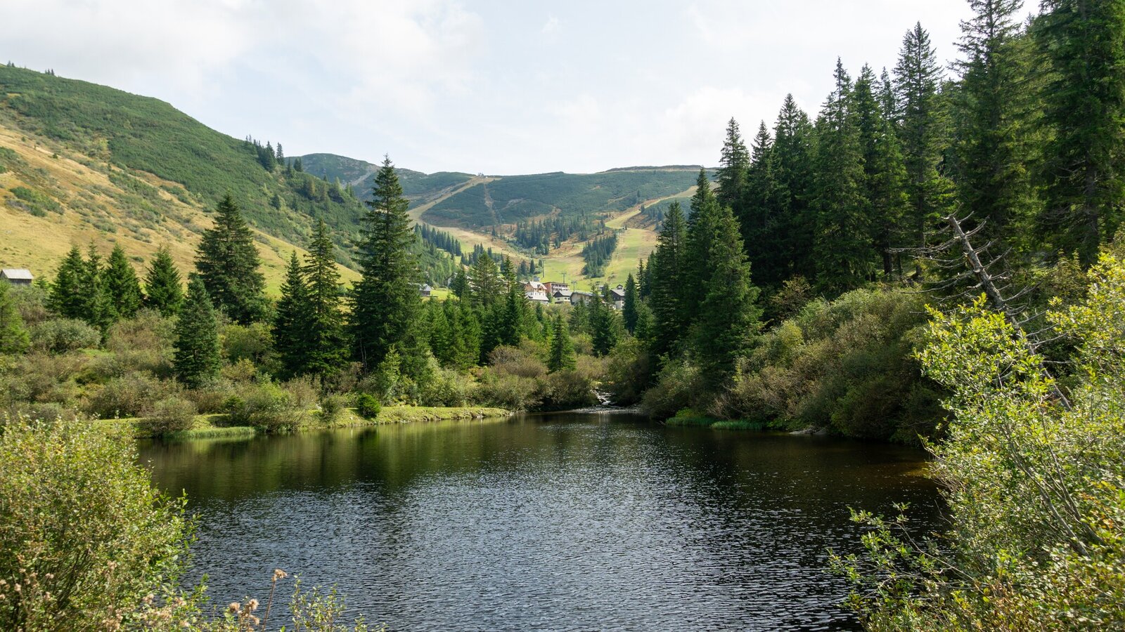
Reservoir on the Planneralm | Markus Schrempf
1/18
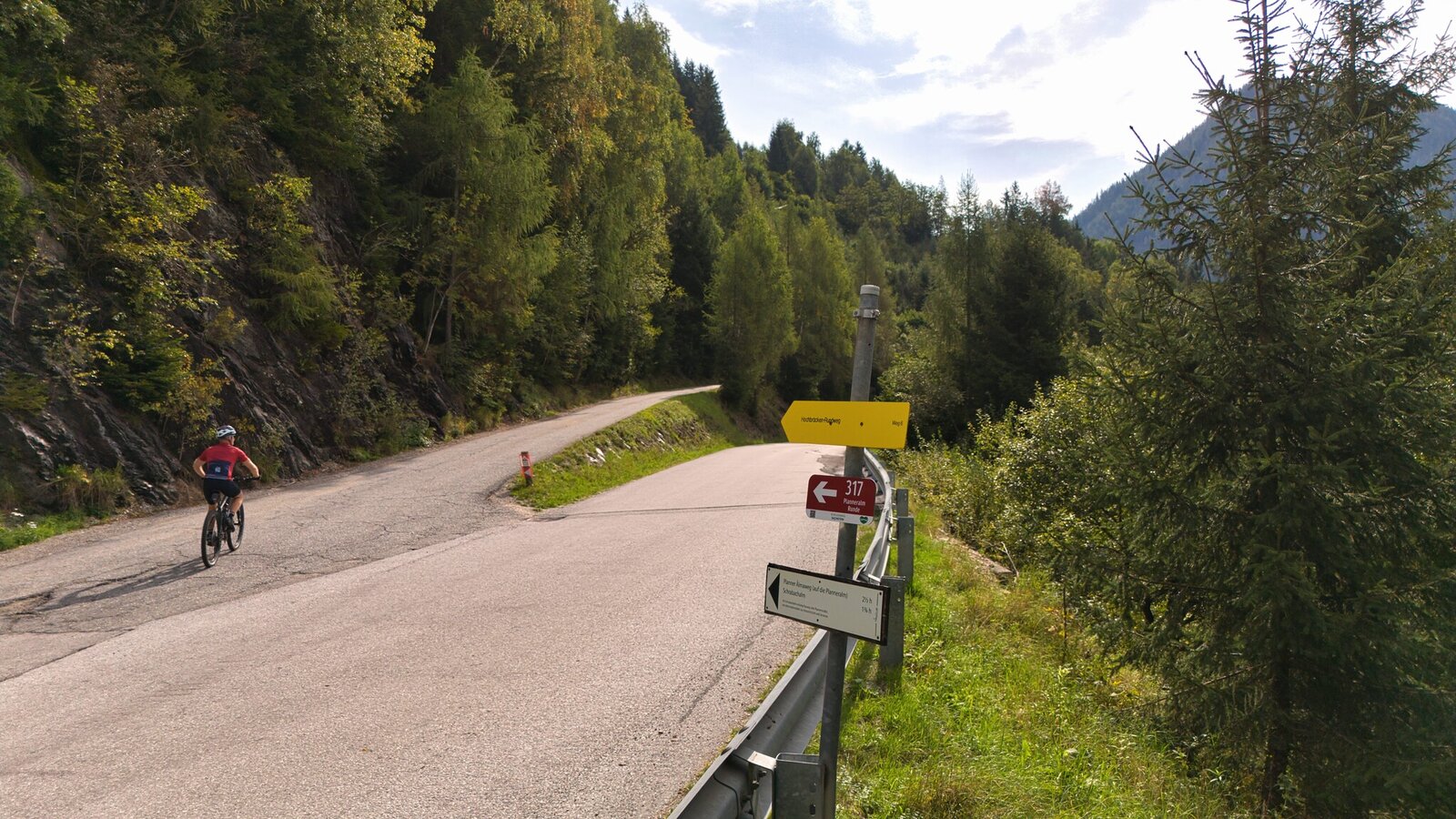
Planneralm-Runde ascent | Markus Schrempf
2/18
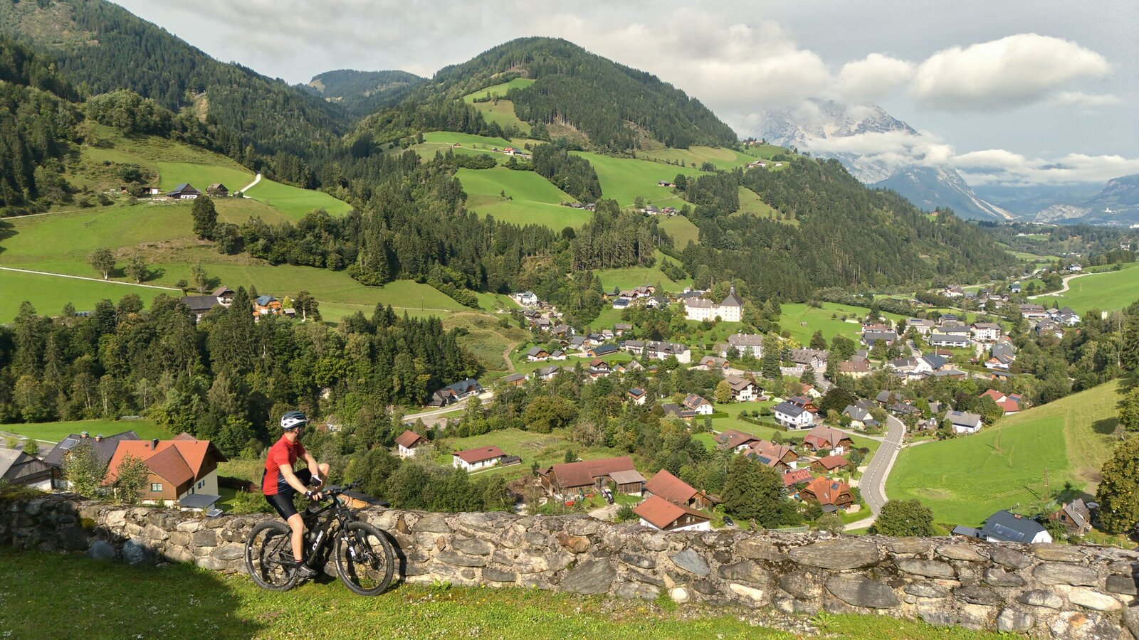
View of Donnersbach | Markus Schrempf
3/18
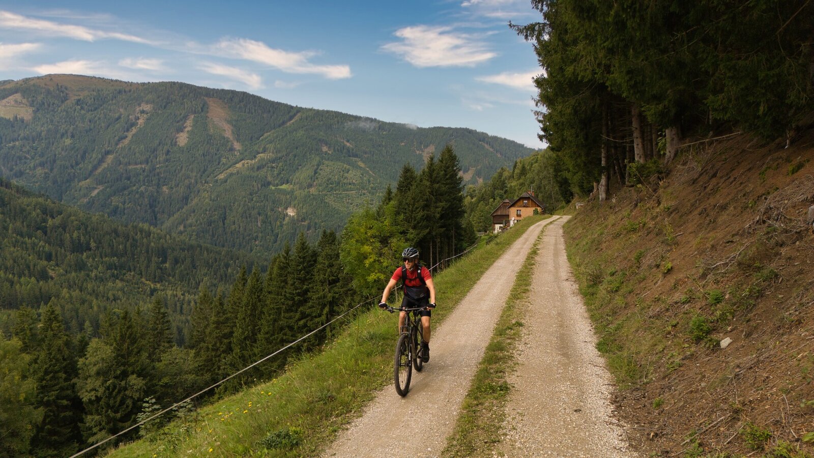
Planneralm-Runde ascent | Markus Schrempf
4/18
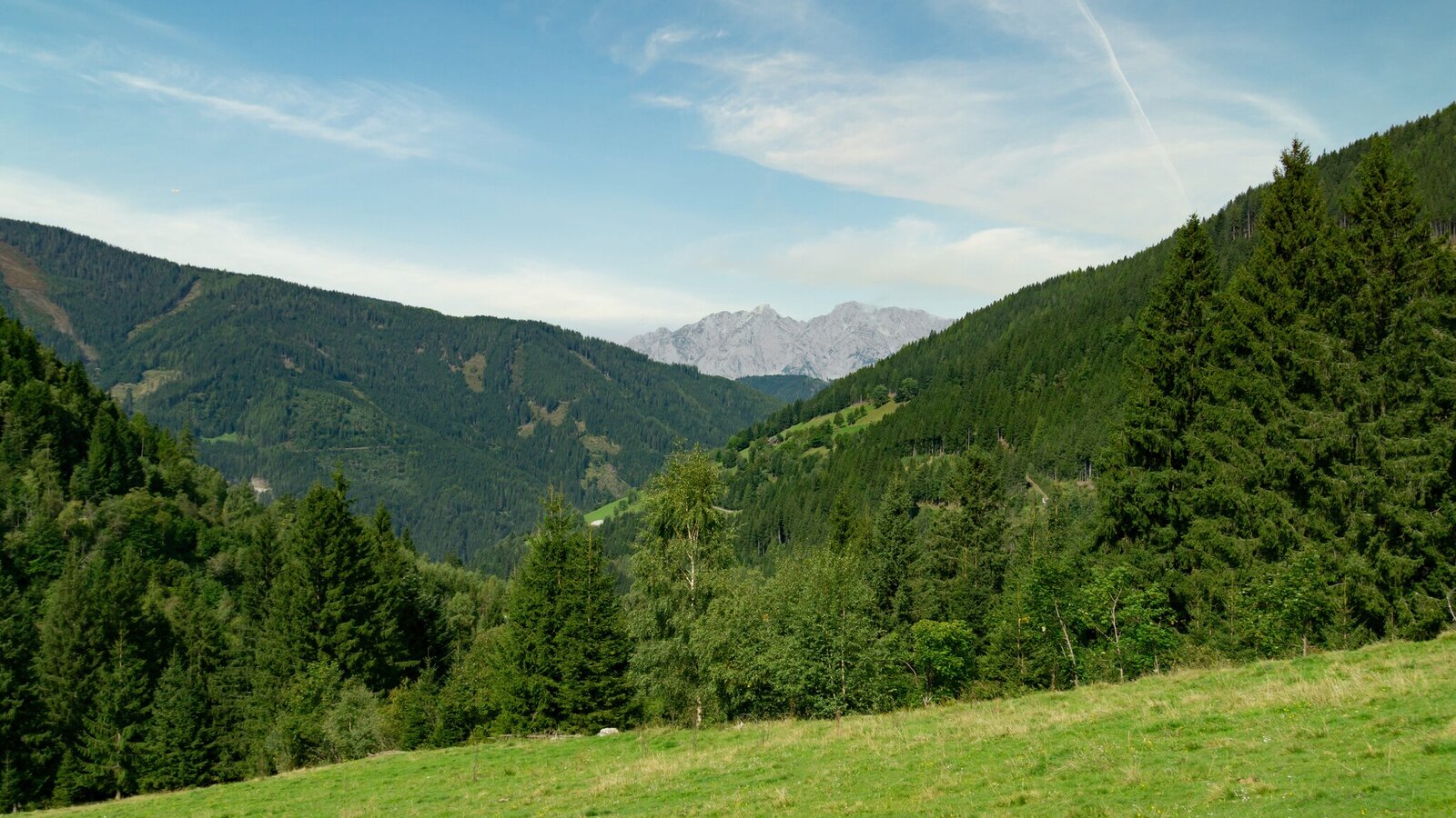
Planneralm-Runde Panoramablick | Markus Schrempf
5/18
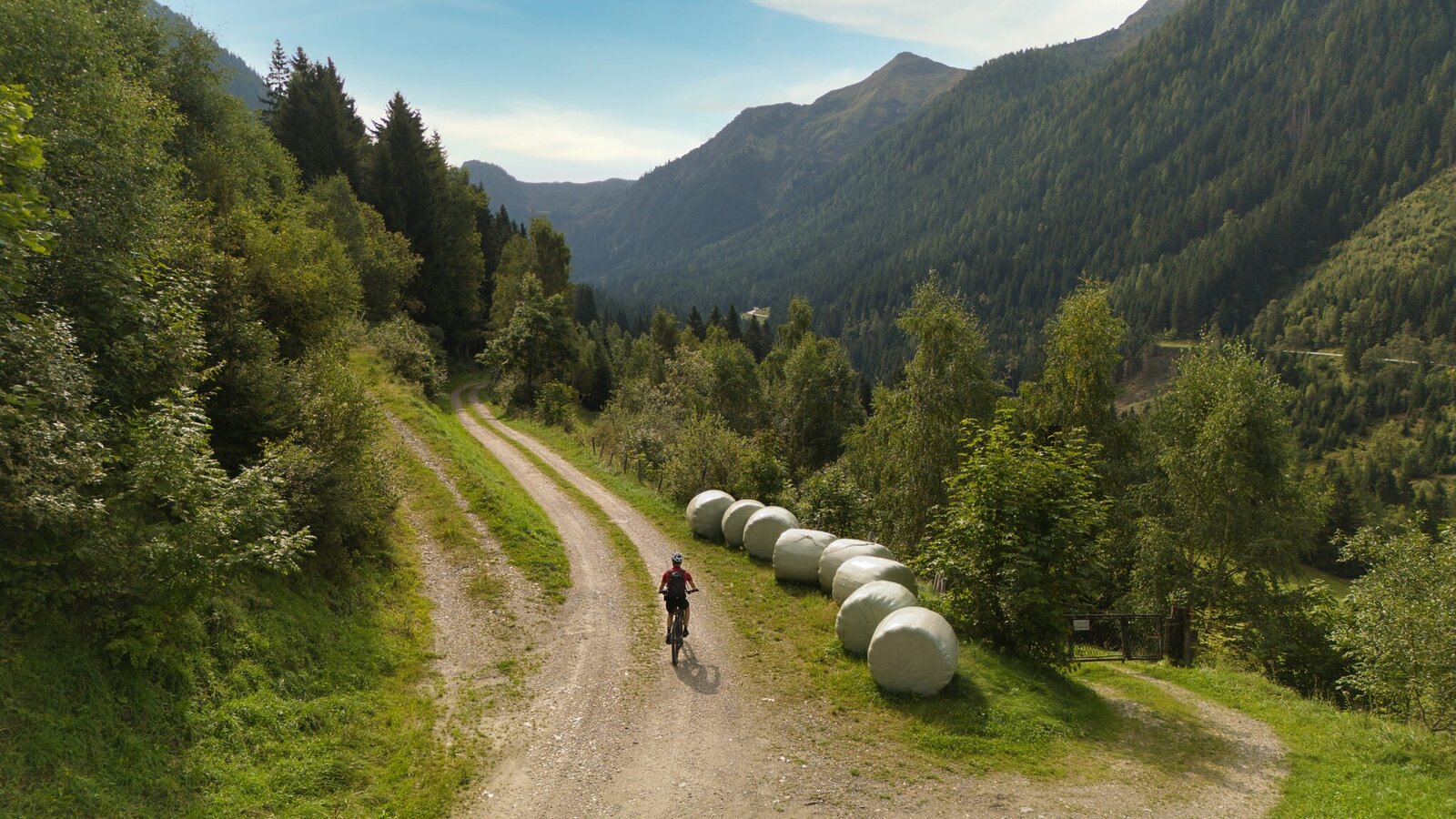
Mountain bikers on the Planneralm-Runde | Markus Schrempf
6/18
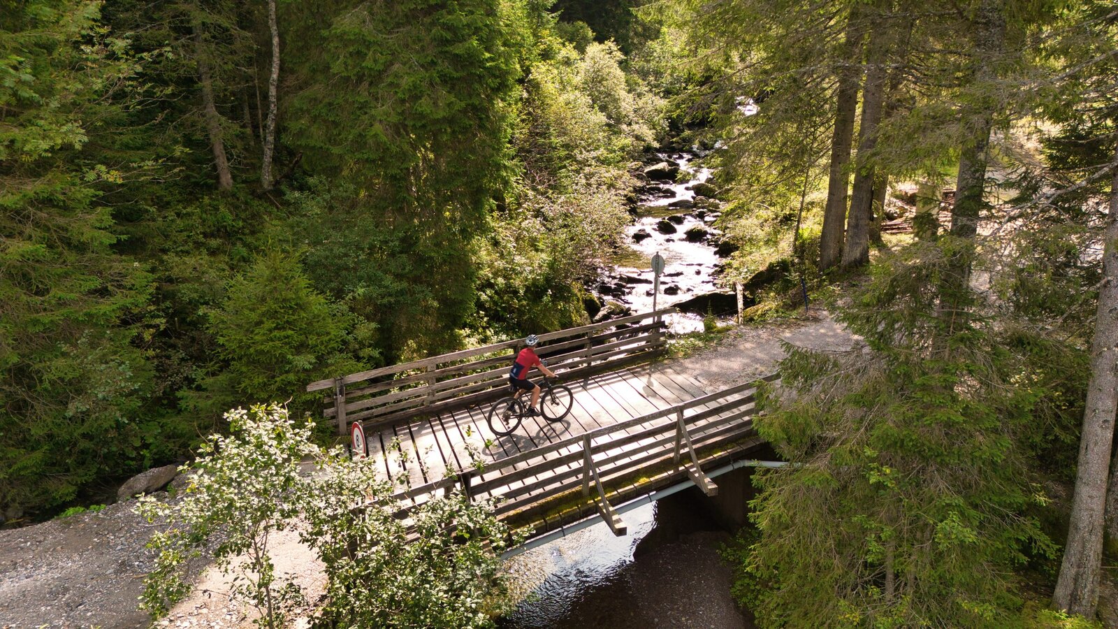
Planneralm-Runde bridge crossing | Markus Schrempf
7/18
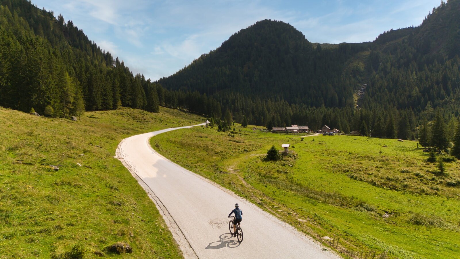
Ascent to the Planneralm | Markus Schrempf
8/18
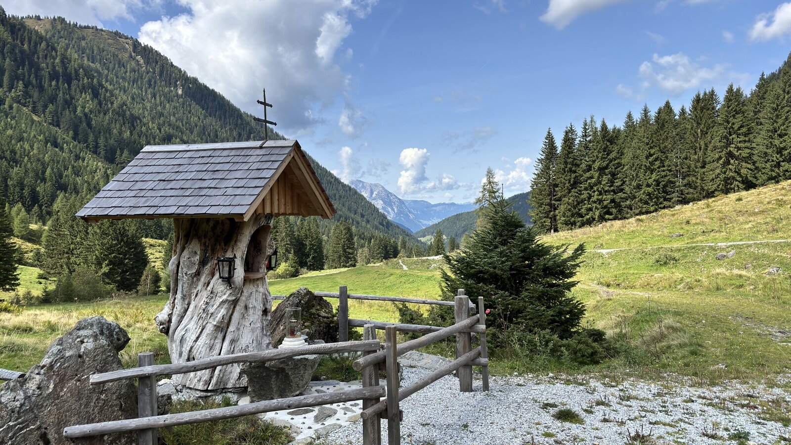
Wayside shrine on the Planneralm-Runde | Markus Schrempf
9/18
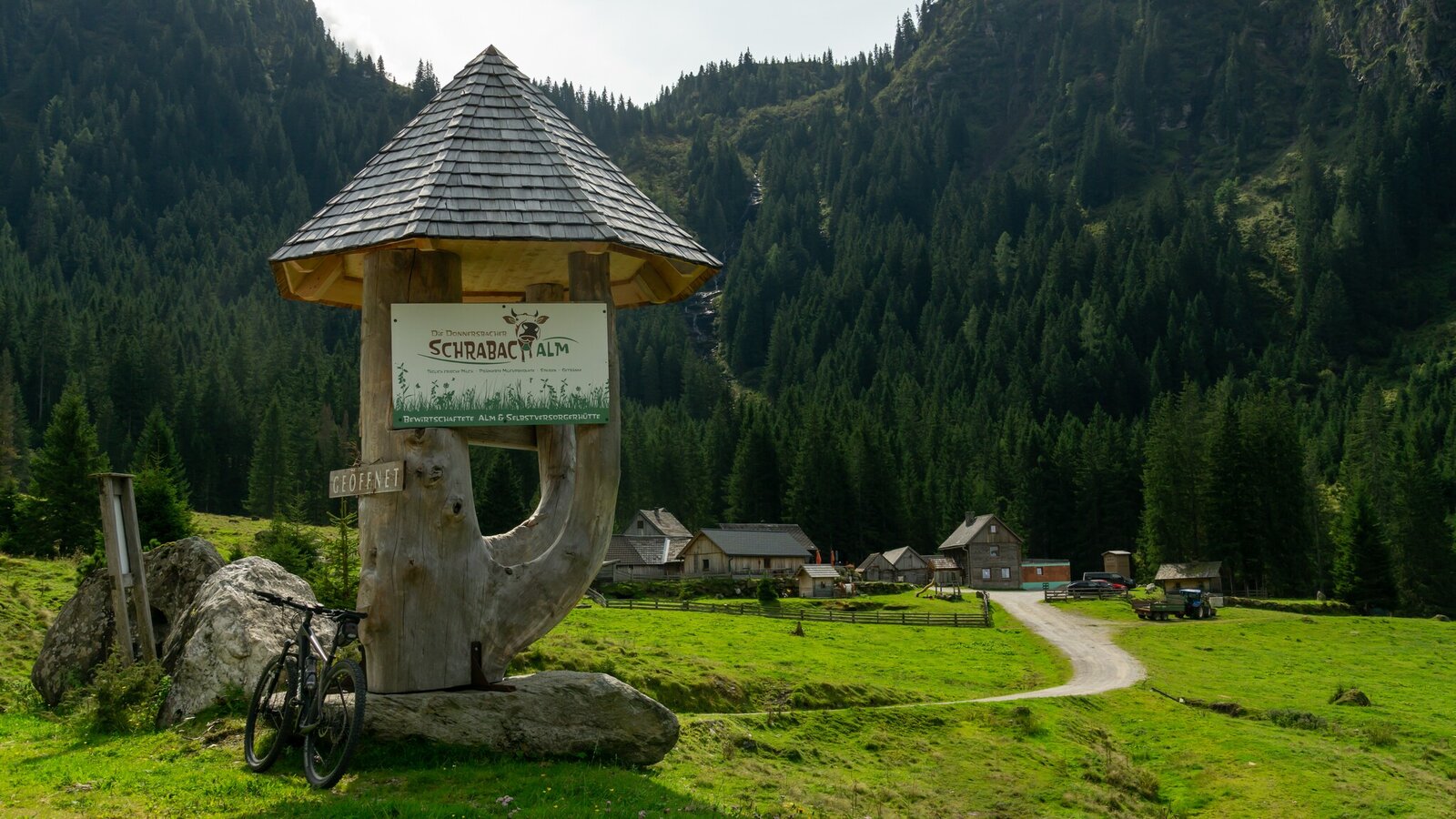
Schrabachalm on the Planneralm-Runde | Markus Schrempf
10/18
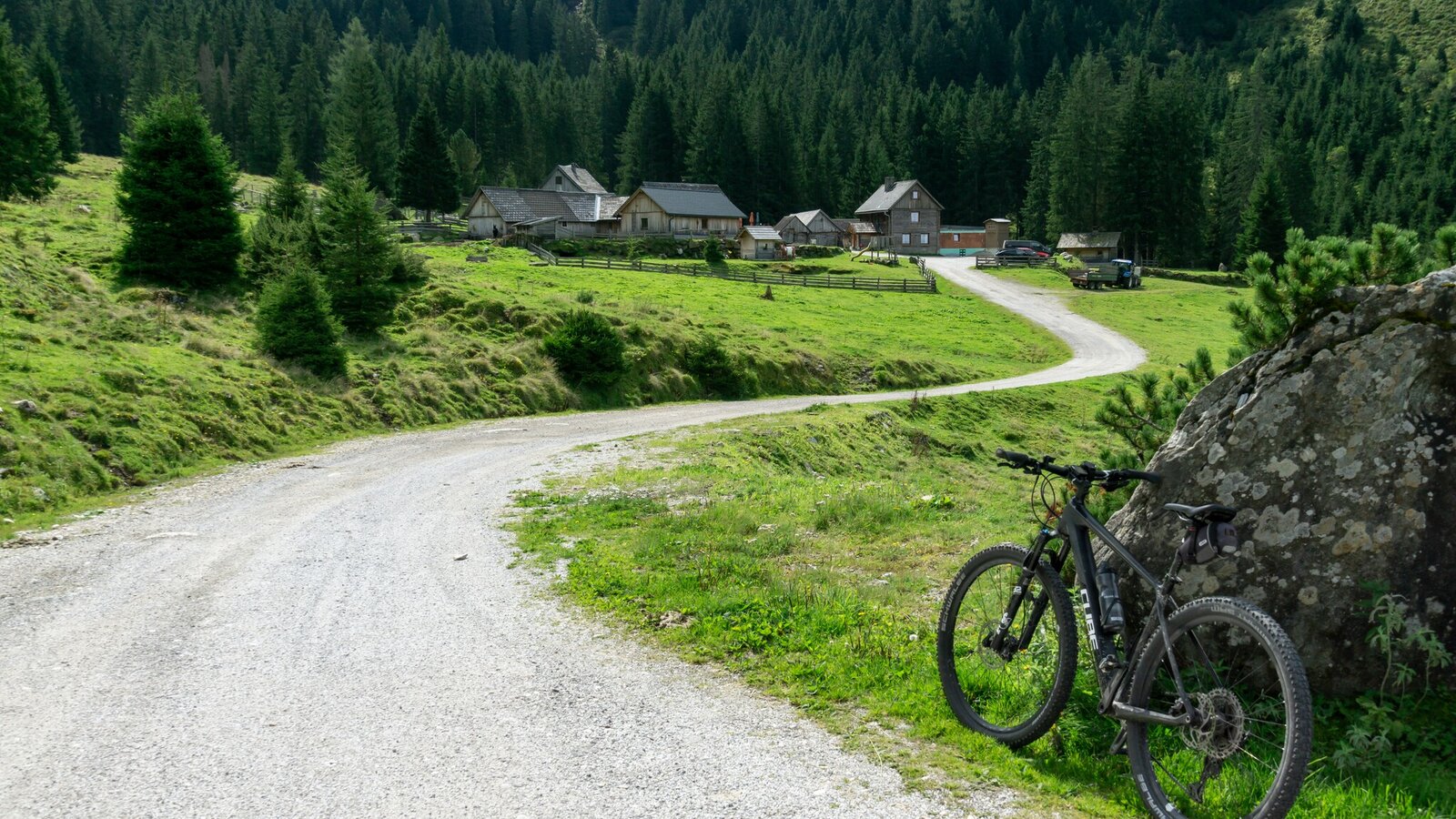
Mountain bike in front of alpine huts | Markus Schrempf
11/18
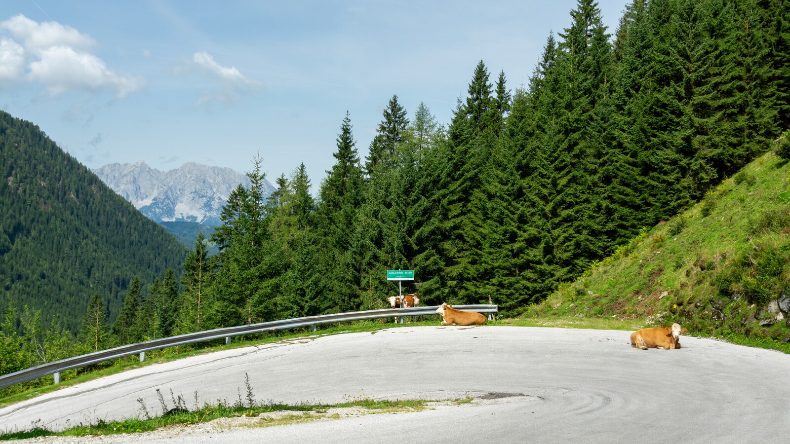
Kehre Goglrinn Reith | Markus Schrempf
12/18
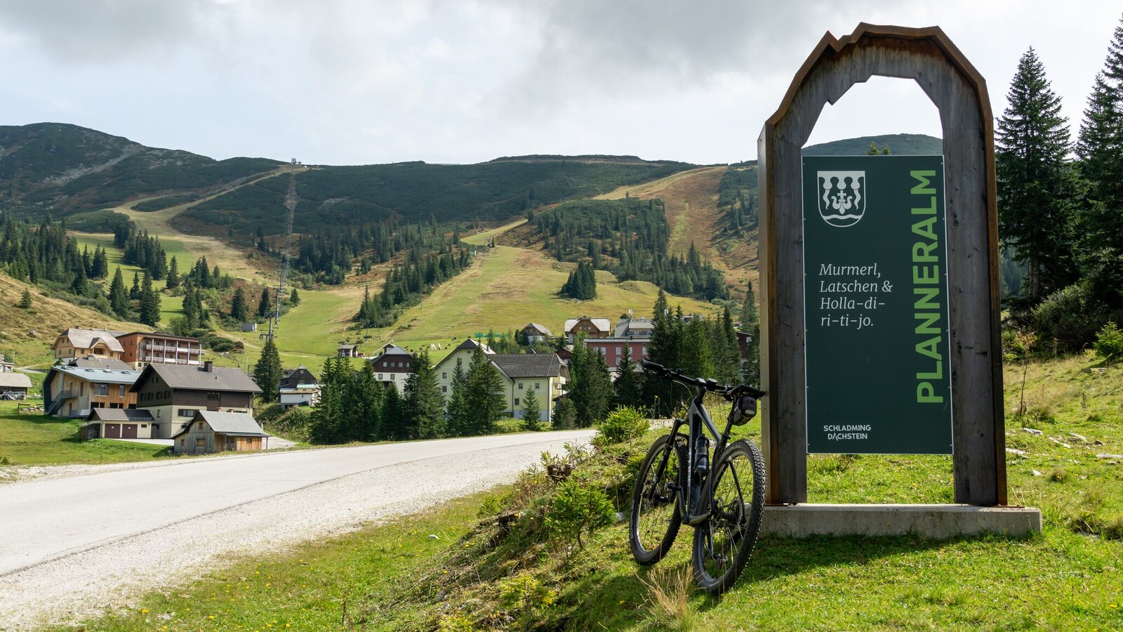
Planneralm Loop Village Portal | Markus Schrempf
13/18
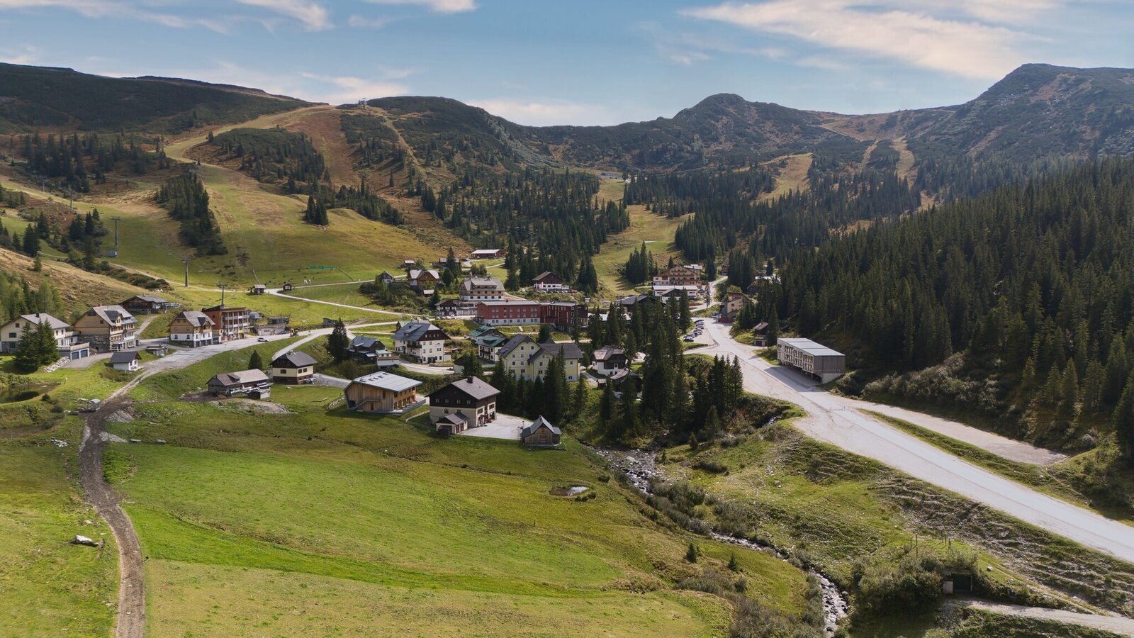
Planneralm valley station | Markus Schrempf
14/18
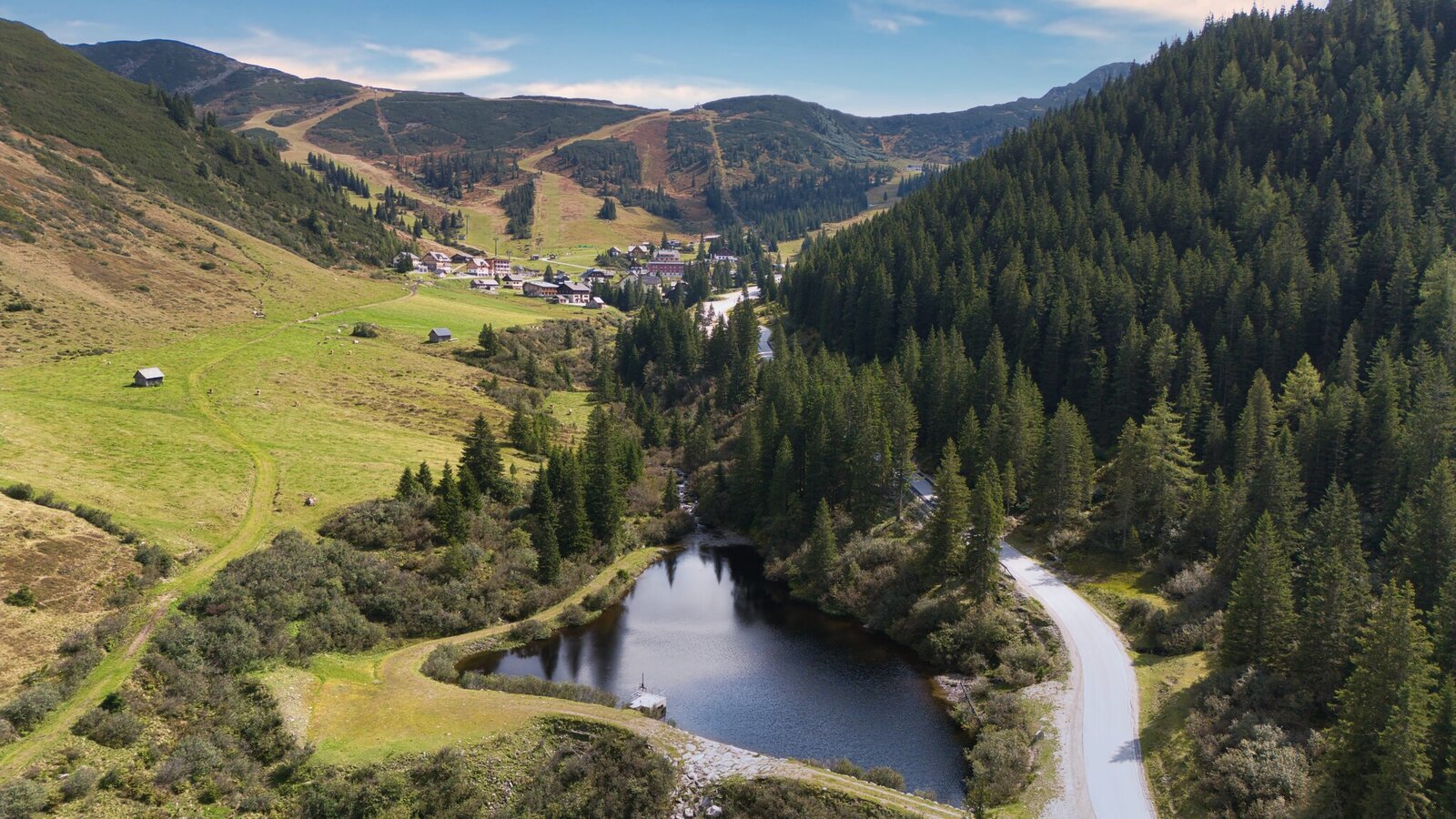
Planneralm-Runde bird's eye view | Markus Schrempf
15/18
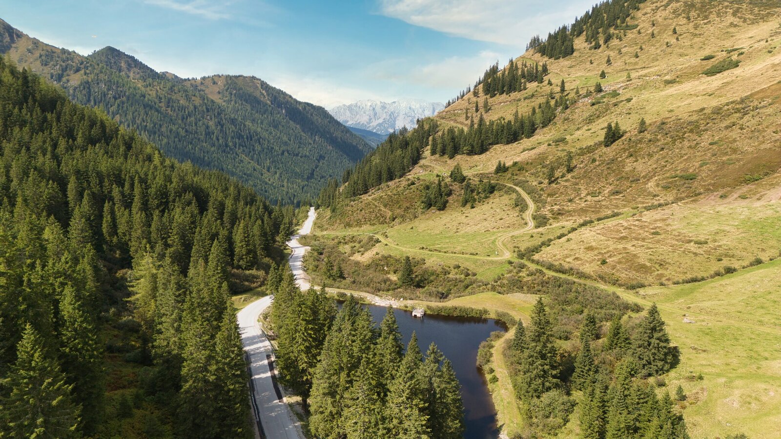
Planneralm-Runde Panoramablick | Markus Schrempf
16/18
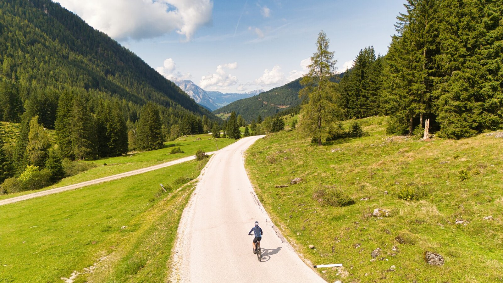
Planneralm-Runde descent | Markus Schrempf
17/18
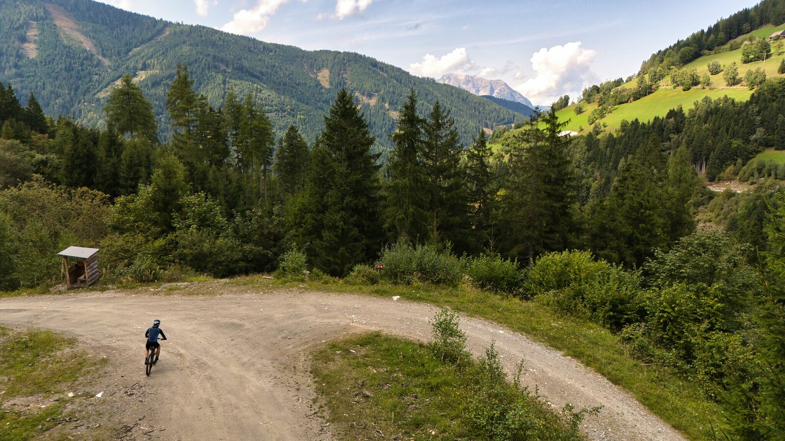
Planneralm-Runde descent | Markus Schrempf
18/18

What the weather will be like Irdning-Donnersbachtal (665m)
Today, 23.10.2026
The day starts sunny, but will be partly cloudy in the afternoon.Morning

-1°C
sr.Regenwahrscheinlichkeit
0%
sr.Windstärke
5 km/h
Noon

10°C
sr.Regenwahrscheinlichkeit
0%
sr.Windstärke
5 km/h
Night

6°C
sr.Regenwahrscheinlichkeit
10%
sr.Windstärke
5 km/h
Tomorrow, 24.10.2026
Rainfall will end around noon, then the clouds will break up.Morning

4°C
sr.Regenwahrscheinlichkeit
85%
sr.Windstärke
5 km/h
Noon

7°C
sr.Regenwahrscheinlichkeit
75%
sr.Windstärke
5 km/h
Night
4°C
sr.Regenwahrscheinlichkeit
30%
sr.Windstärke
5 km/h
Forecast
25.10.2026
0°C
9°C
26.10.2026
2°C
12°C
27.10.2026
1°C
13°C
