


Ochsenpfadrunde
Accessible by public transport- Hiking bus (within 15 minutes walking distance from starting point)
Characteristics
SkillThe tour in numbers
Level of difficulty
medium
Route
13,0 km
Time
4:30 h
Uphill
547 hm
Downhill
554 hm
Highest point
1554 m
Discover the Rittisberg on a varied circular tour with
magnificent mountain panoramas and cozy refreshment stops along the
way.
6-hut circular hike via the Rittisberg summit cross. On this route, you hike from hut to hut and enjoy the view from the summit cross towards the Dachstein.
Best season
January
February
March
April
May
June
July
August
September
October
November
December
More information
From the west: Tauernautobahn A 10 to the Ennstal junction - exit towards Graz/Schladming - approx. 20 km on the Ennstal-Bundesstraße to Schladming - turn-off Ramsau. Continue to Ramsau-Schildlehen and to the Rittisberg car park.
From the east/north: Pyhrnautobahn towards Liezen Ennstalbundesstraße to Schladming - turn-off Ramsau. Continue to Ramsau-Schildlehen to the Rittisberg car park.
Parking spaces are available directly at the Parkplatz Rittisbergbahn.
The Ochsenpfadrunde begins at the valley station of the Rittisbergbahn. From here, you head southeast towards the Märchenweg. Follow this for about 500 metres and then branch off onto the Schwoagbründlweg no. 2. This partly steep forest path leads you to the mountain station of the Rittisbergbahn and the Rittisstadl, the first hut you pass on this tour. Then follow the signs towards the summit cross. Once there, you can enjoy the beautiful mountain panorama and the view of the Dachstein massif. Next, you reach the Ochsenalm, which is located just a short distance from the border with Salzburg. Continue via the Rittisbergrundwanderweg Nr. 5 to the Sonnenalm. A quarter of an hour later you reach the Halseralm and ten minutes later the Rösteralm. The last stage takes you along the Rittisbergrundwanderweg Nr. 5 to the Waldcafé Lifstüberl and back to the valley station.
Sudden changes in weather, rapid drops in temperature, thunderstorms, wind, fog and snowfields are objective hazards and require the correct behavior on the way. Hut keepers are experienced mountain experts; they can provide good tips regarding the weather and the route. Lack of equipment, overestimating one's abilities, carelessness, poor physical condition and a wrong assessment can lead to critical situations. During thunderstorms: strictly avoid summits, ridges and fixed rope backups.
GPS data and orientation aids
Available GPS data – just like hiking maps – are only an orientation aid, as they can never represent an exact image or the level of detail of a trail in reality. Especially at danger spots, the final decision on if and how the route continues must always be made based on the conditions on site.
In case of emergency, please dial the following emergency numbers:
- 140 - for alpine emergencies - throughout Austria
- 112 - Euro emergency call GSM emergency service
Buses of the Ramsauer Verkehrsbetriebe: www.rvb.at
Information about the buses at Vorberg: www.rvb.at
- Hiking map "Wandern WEST" available at the region's information offices.
- Hiking map Schladming, 1:25,000, available at the Schladming information office.
- Hiking map Schladming-Dachstein, 1:50,000, available at the region's information offices.
- Hiking guide Schladming-Dachstein by Herbert Raffalt, available at the region's information offices.
Map & downloads
Gallery
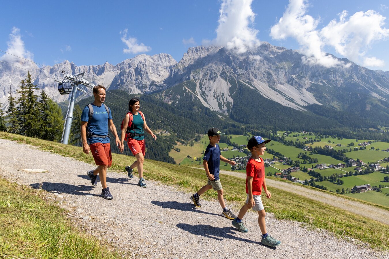
Rittisberg Family Hike | © Erlebnisregion Schladming-Dachstein | Hans-Peter Steiner
1/8
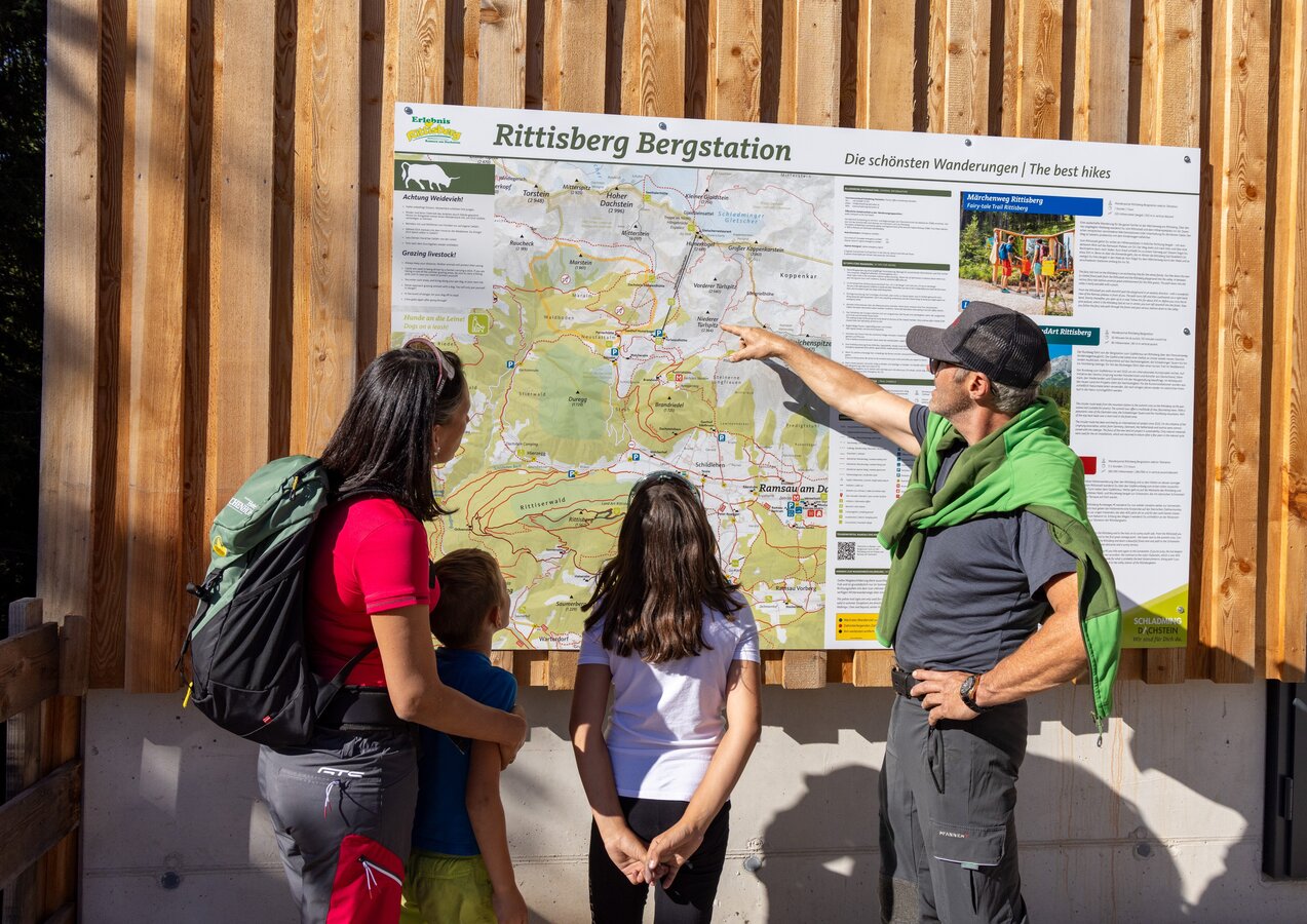
Hiking map Rittisberg mountain station | © Erlebnisregion Schladming-Dachstein | Hans-Peter Steiner
2/8
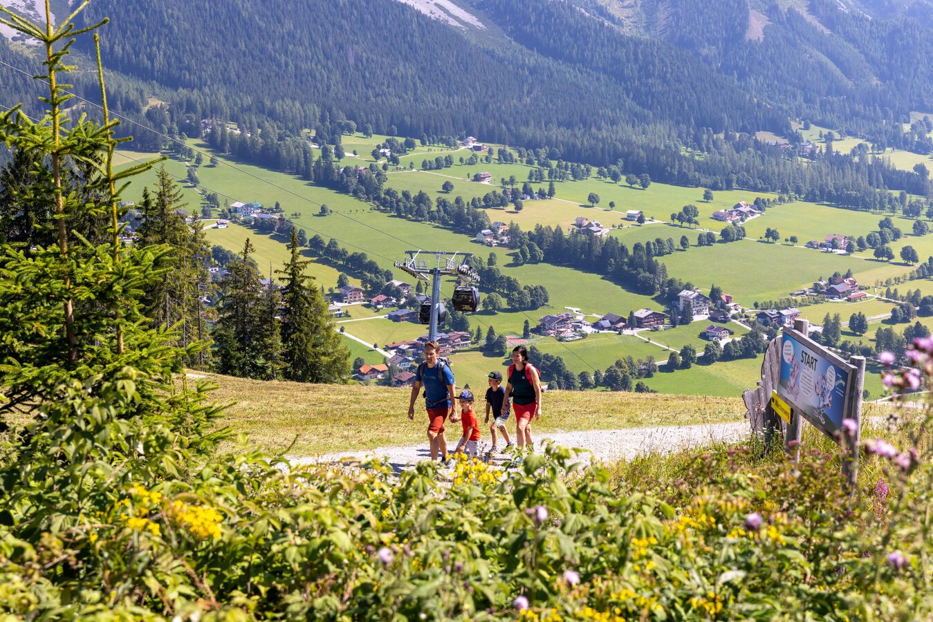
Family hike on the Rittisberg | © Erlebnisregion Schladming-Dachstein | Hans-Peter Steiner
3/8
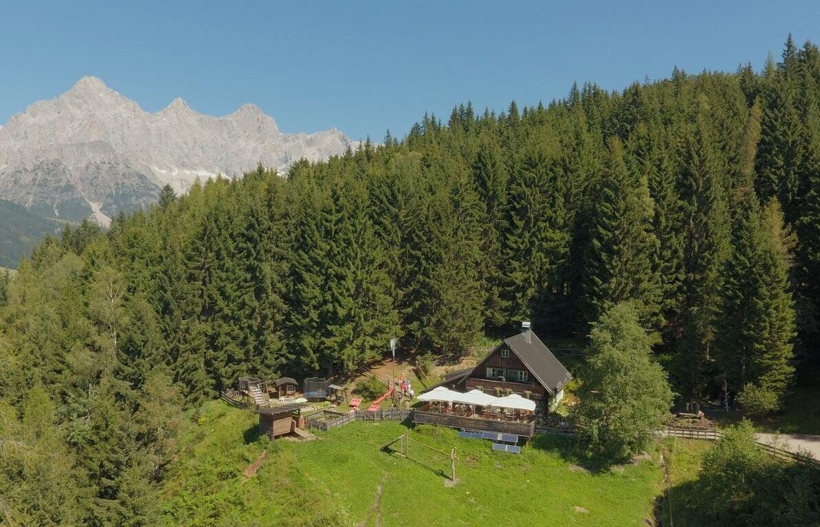
Die Ochsenalm im Sommer. | © Ochsenalm | Marion Omulec | Schladming-Dachstein
4/8
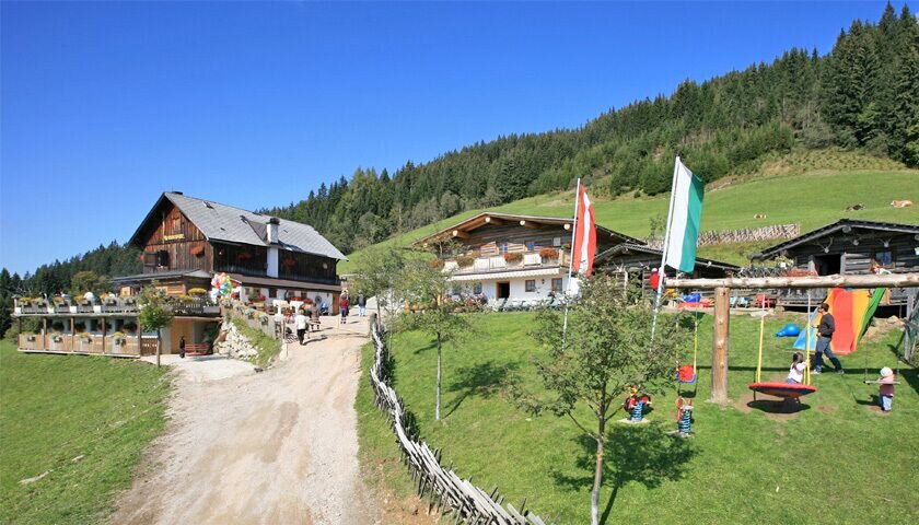
Sonnenalm Ramsau am Dachstein | © Erlebnisregion Schladming-Dachstein | Tourismusverband Ramsau am Dachstein
5/8
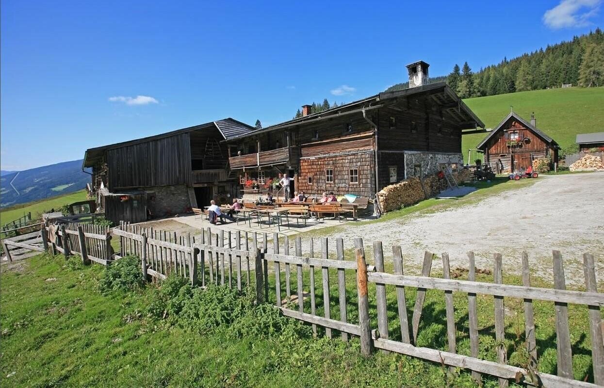
Der Blick auf die Halseralm im Sommer. | © Halseralm | User
6/8
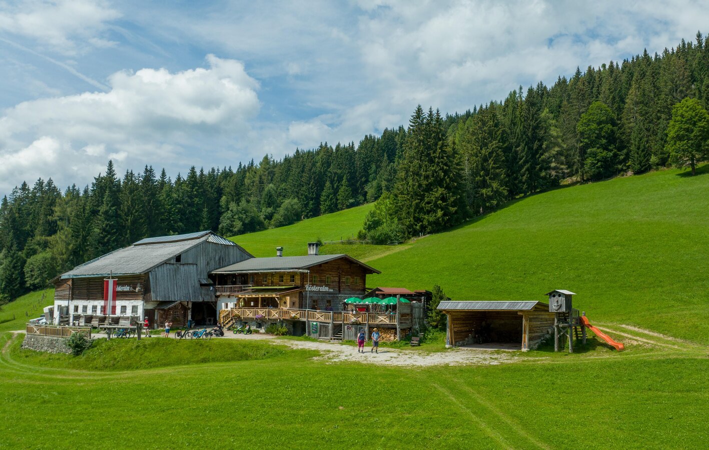
Rösteralm | © Hans-Peter Steiner | Hans-Peter Steiner
7/8
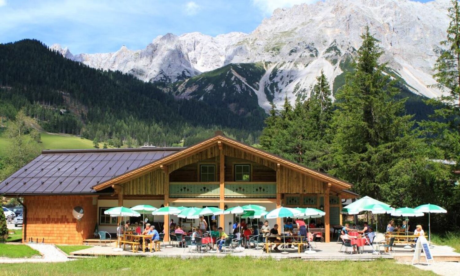
Liftstüberl am Rittisberg | © Erlebnisregion Schladming-Dachstein | Tourismusverband Schladming-Dachstein
8/8

What the weather will be like Ramsau am Dachstein (1137m)
Today, 15.10.2026
Dry and partly sunny throughout the day, with cloudy periods from time to time.Morning

6°C
sr.Regenwahrscheinlichkeit
0%
sr.Windstärke
5 km/h
Noon

14°C
sr.Regenwahrscheinlichkeit
0%
sr.Windstärke
5 km/h
Night
9°C
sr.Regenwahrscheinlichkeit
0%
sr.Windstärke
5 km/h
Tomorrow, 16.10.2026
Dry and sunny throughout the day with hardly any clouds.Morning

6°C
sr.Regenwahrscheinlichkeit
0%
sr.Windstärke
5 km/h
Noon
17°C
sr.Regenwahrscheinlichkeit
0%
sr.Windstärke
5 km/h
Night
9°C
sr.Regenwahrscheinlichkeit
0%
sr.Windstärke
5 km/h
Forecast
17.10.2026
6°C
15°C
18.10.2026
6°C
14°C
19.10.2026
5°C
15°C
