


Neualmscharte - Steirischer Bodensee | Schladminger Tauern Trail: Stage 05
Characteristics
SkillThe tour in numbers
Level of difficulty
challenging
Route
10,1 km
Time
5:55 h
Uphill
741 hm
Downhill
1263 hm
Highest point
2349 m
Hike with many panoramic views, taking you past 3 mountain lakes directly and providing a rest stop at Hans-Wödl-Hütte.
From Preintalerhütte and Waldhornalm, this tour takes you to Hans-Wödl-Hütte in the Seewigtal valley of Haus via the "Höfertsteig" trail. Along the route, you pass by several mountain lakes: the Wildlochsee lake on the ascent to Neualmscharte gap, as well as Obersee, Hüttensee and Steirischer Bodensee lakes during the descent to Forellenhof and Seewigtalstüberl inns in the Seewigtal valley.
Best season
January
February
March
April
May
June
July
August
September
October
November
December
More information
This tour is an alternative route for the 5th stage of the Schladminger Tauern High Trail. For accessing the starting point of the 1st stage at Hochwurzen, we recommend taking the Planai buses to the valley terminal of Gipfelbahn Hochwurzen cable-car
You start your tour at Preintalerhütte and Waldhornalm, where you cross over the creek and follow Höfertsteig #782 towards Neualmscharte/Planai. At the trail junction "Höfertsteig" you keep right (staying on trail #782), now hiking uphill towards Neualmscharte gap. Approximately after 2 hours you reach the gap, providing a great view throughout the Seewigtal valley with its 3 lakes. From there, the narrow trail at first descends through a steep chute. Eventually the trail gets a little less steep and the scenery becomes greener shortly before you reach the Obersee lake - the first of 3 lakes in the Seewigtal valley. You walk out of the valley along the shore and further down via another terrace and through clear forest to the Hüttensee lake.
Passing by along the slope above the lake you reach Hans-Wödl-Hütte where you can enjoy some refreshments. After taking a break at the hut you continue your way down into the valley along the well-maintained hiking trail. Shortly before reaching the Steirischer Bodensee lake you can make a small side-tour to the waterfall. Along the shore of the Bodensee you walk to Forellenhof inn (directly at the lake) and further out to the trail head and car parking at Seewigtalstüberl inn, from where the bus takes you back to Schladming.
Surefootedness and head for heights are required.
Changes in weather patterns, quick falls in temperature, thunderstorms, wind, fog and snow are some of the dangers that can be encountered on a hiking tour. Hosts of alpine huts and mountain refuges have a lot of experience in the mountains and can give good advice about weather and the trails. Poor equipment, overestimation of one's own capabilities, carelessness, poor personal constitution and/or wrong judgement can lead to critical situations. In case of thunderstorms: avoid summits, ridges and steel ropes.
GPS data and orienteering
Available GPS data - just like hiking maps - is only a guidance for orientation and can never depict a trail exactly with all its details. Especially at dangerous spots it is essential to judge on site how to proceed.
In an emergency please call:
- 140 - for Alpine emergencies (all over Austria)
- 112 - European GSM emergency number
A well-packed backpack is helpful and especially when touring Alpine terrain a tuque, gloves, a windproof jacket and pants are standard equipment. Good, waterproof shoes, sun glasses, sun cream and sufficient beverages are essential too. Torch light, a map of the area, knie and a small first-aid kit should also be in the backpack.
The route towards Neualmscharte gap passes by about 200 m below the Wildlochsee lake which is worth a short detour.
The closest public transport is accessible at Seeleiten trail head in Untertal valley (approximately 2.5 hours hike from Preintalerhütte) or at the end of the tour described, at Seewigtalstüberl - both bus routes connecting to Schladming.
General tourism information: www.schladming.com
Info about buses: www.planaibus.at
360° drone images
For part of the tour, get yourself an overview with our 360° drone images:
- First part of Höfersteig from Preintalerhütte: https://vonoben.schladming-dachstein.at/sommer/index.php?S=317
- Hiking map ‘Hiking WEST’ available at the information offices in the region.
- Schladming hiking map, 1:25,000, available at the Schladming information office.
- Hiking map Schladming-Dachstein, 1:50,000, available at the information offices in the region.
- Hiking guide Schladming-Dachstein by Herbert Raffalt, available at the information offices in the region.
Here you will find all hiking maps and important brochures to download.
Map & downloads
Gallery
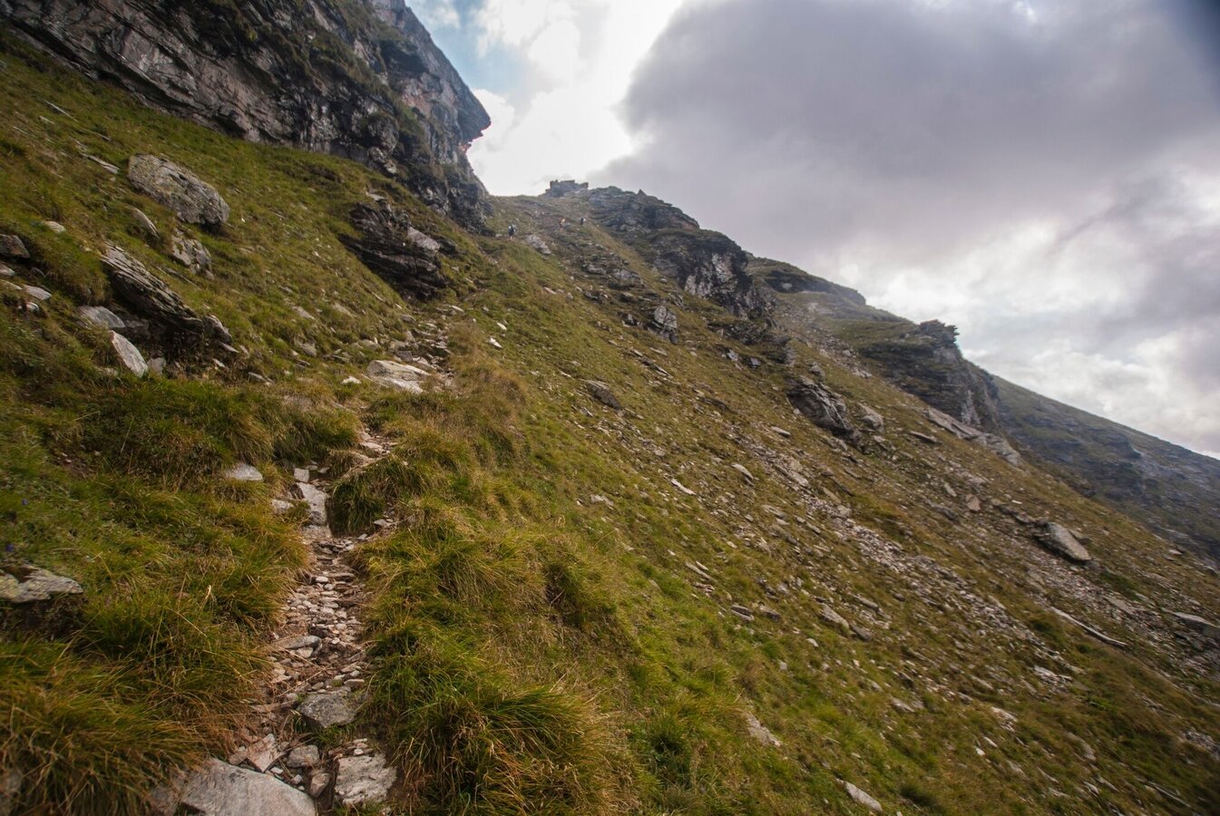
Aufstieg zur Neualmscharte | © Gerhard Pilz - www.gpic.at | Gerhard Pilz
1/4
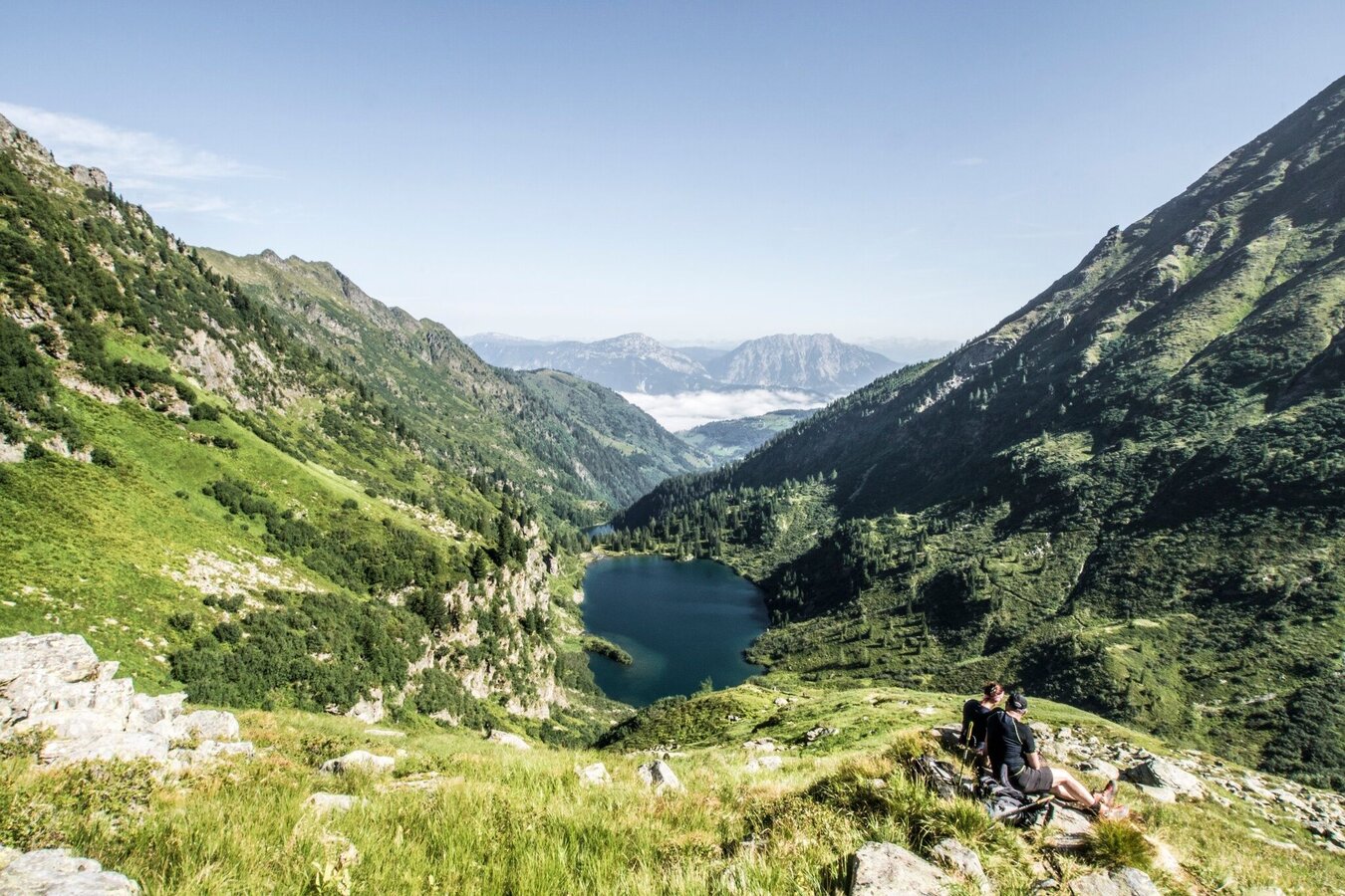
Blick aus dem Seewigtal zum Stoderzinken und der Kammspitze | © Gerhard Pilz | Gerhard Pilz
2/4
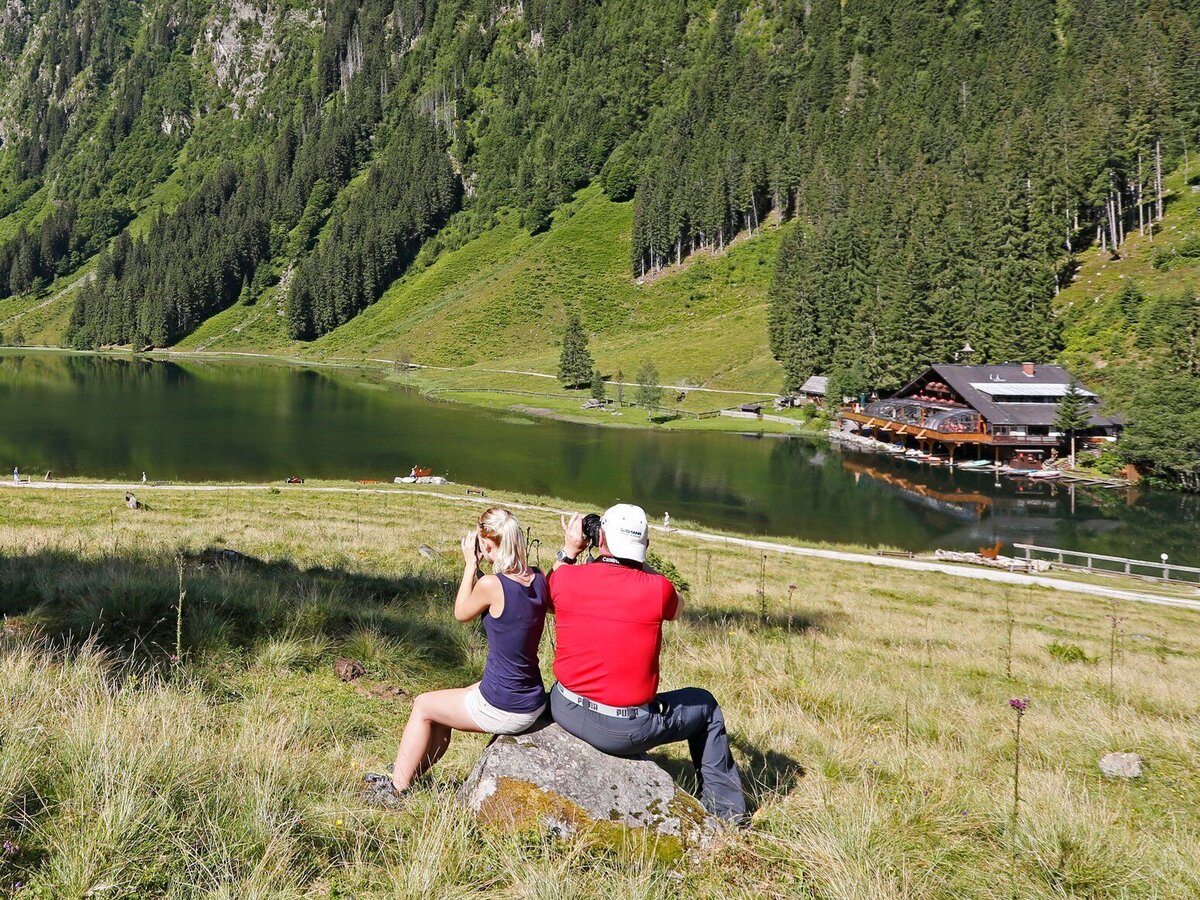
Gasthof Forellenhof am Steirischen Bodensee | © Erlebnisregion Schladming-Dachstein | Schladming Dachstein
3/4
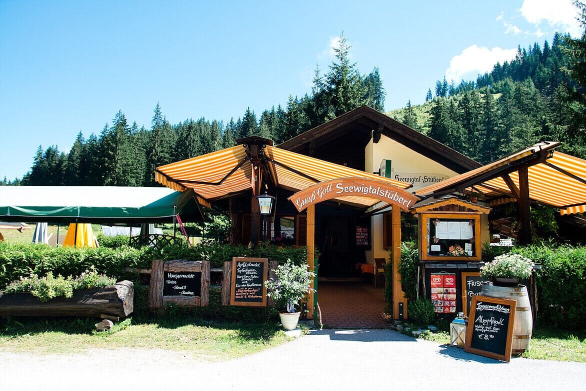
Seewigtal Stüberl | © Erlebnisregion Schladming-Dachstein | Schladming Dachstein
4/4

What the weather will be like Schladming (740m)
Today, 22.09.2026
Mostly cloudy with a few sunny spells. Possibly light occasional rain.Morning

8°C
sr.Regenwahrscheinlichkeit
80%
sr.Windstärke
10 km/h
Noon

15°C
sr.Regenwahrscheinlichkeit
60%
sr.Windstärke
15 km/h
Night
9°C
sr.Regenwahrscheinlichkeit
35%
sr.Windstärke
5 km/h
Tomorrow, 23.09.2026
Some clouds in the morning, lateron much sunshine and hardly any cloudsMorning

3°C
sr.Regenwahrscheinlichkeit
0%
sr.Windstärke
0 km/h
Noon

16°C
sr.Regenwahrscheinlichkeit
0%
sr.Windstärke
5 km/h
Night
10°C
sr.Regenwahrscheinlichkeit
0%
sr.Windstärke
5 km/h
Forecast
24.09.2026

3°C
16°C
25.09.2026
5°C
16°C
26.09.2026
3°C
19°C
