


Mölbegg
Characteristics
SkillThe tour in numbers
Level of difficulty
medium
Route
6,5 km
Time
3:45 h
Uphill
830 hm
Downhill
830 hm
Highest point
2080 m
The way leads from the highest situated house in Donnersbach along a forest walk to the timberline. It goes on across the ridge to the two summits.
On the right side in front of the farm Hochbär, we follow the markings Mölbegg 930/Hochstein 931. The way leads us quickly uphill towards the forest. At the fork of the ways in the forest, we keep left. We hike further through the wood and reach a high ridge with a clearing and a small lake. From there we enjoy the wonderful view of the summits, Mölbegg, Edelweißspitze and Hochstein. At the branch Mölbegg Hochstein we keep slightly left towards Mölbegg. The path leads us across the side of the Mölbegg to the summit.
Best season
January
February
March
April
May
June
July
August
September
October
November
December
More information
From Irdning towards Donnersbach, along the Planneralm street towards Ilgenberg, after 2 km turn left, uphill then right, stay on this narrow road until the farm Hochbär.
On the right before the Hochbär farmstead, follow the Mölbegg 930 or Hochstein 931 markings. The trail leads up into the forest. At the fork in the path in the forest, keep left and continue hiking up the steeper trail to the tree line. In total you cross a forest road three times. Then you will come to a high ridge with a clearing and a small lake. Take a short break to shoot a few photos, from there you can enjoy a wonderful view of the peaks Mölbegg, Edelweißspitze and Hochstein. Continue on a narrow path to the Scharte. At the junction Mölbegg/Hochstein you keep slightly left and hike up the flank to the summit. A summit with a lot of power, because it allows you a 360° panoramic view of the very best - Grimming foot-free, of course. Further hiking possibility to the Hochstein.
If your legs are still tingling at the summit of the Mölbegg, then head for the next peak, the Hochstein.
At the Hochbär homestead. On nice weekends, do not park in driveways and if in doubt, ask the owner.
Tourism information: www.schladming-dachstein.at
Tourist Office Schladming-Dachstein
Ramsauerstrasse 756
8970 Schladming
T: +43 3687 23310
info@schladming-dachstein.at
- SCHLADMING-DACHSTEIN Hiking EAST. Available free of charge at tourist offices and lodging establishments.
- SCHLADMING-DACHSTEIN Hiking Map (1:50.000)
- KOMPASS Hiking Map 68, Ausseerland-Ennstal 1:50.000, hiking, biking, ski touring
Map & downloads
Gallery
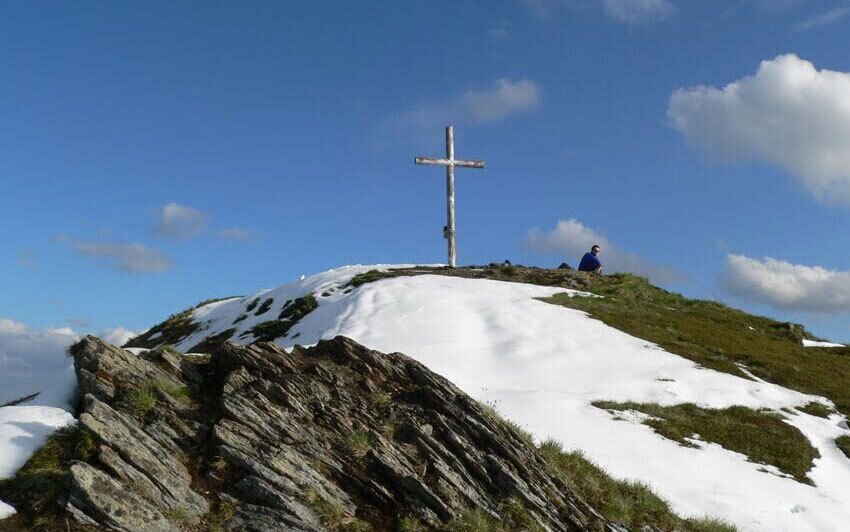
Gipfelkreuz Mölbegg | © Hannes Peer | Schladming Dachstein
1/5
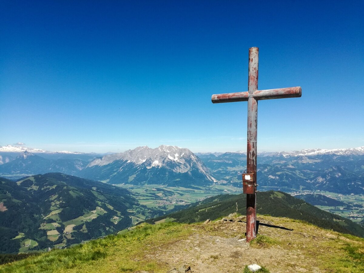
Mölbegg mit Grimming und Dachstein im Hintergrund | © Tourismusverband Grimming-Donnersbachtal
2/5
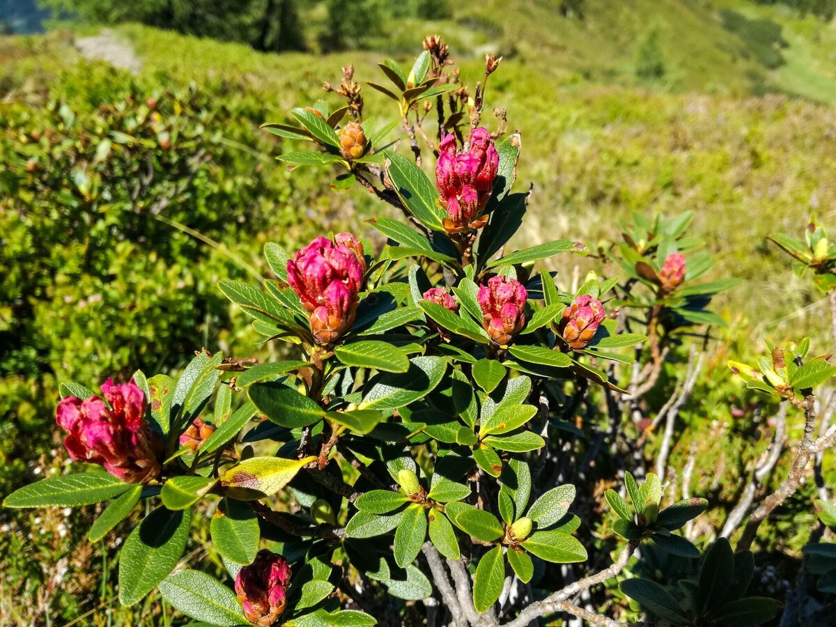
Der Almrausch blüht im herrlichsten Rot. | © Erlebnisregion Schladming-Dachstein
3/5
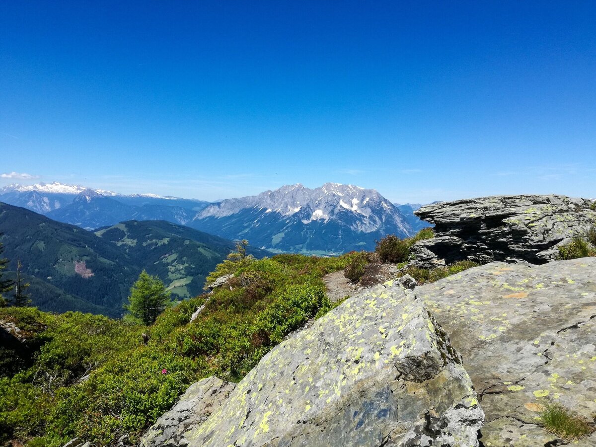
Aussichtsreich vom Beginn an ist der Weg zum Mölbegg | © Erlebnisregion Schladming-Dachstein
4/5
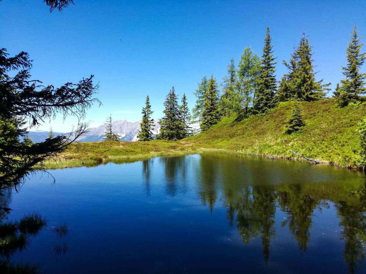
"Hirschlacken" | © Erlebnisregion Schladming-Dachstein
5/5

What the weather will be like Irdning-Donnersbachtal (665m)
Today, 13.09.2026
Relatively sunny during the day, but maybe some rain in the evening.Morning

12°C
sr.Regenwahrscheinlichkeit
35%
sr.Windstärke
5 km/h
Noon
20°C
sr.Regenwahrscheinlichkeit
10%
sr.Windstärke
5 km/h
Night

16°C
sr.Regenwahrscheinlichkeit
55%
sr.Windstärke
5 km/h
Tomorrow, 14.09.2026
Rainfall will decrease in the morning and end in the afternoon.Morning

14°C
sr.Regenwahrscheinlichkeit
85%
sr.Windstärke
5 km/h
Noon

18°C
sr.Regenwahrscheinlichkeit
80%
sr.Windstärke
10 km/h
Night

14°C
sr.Regenwahrscheinlichkeit
55%
sr.Windstärke
5 km/h
Forecast
15.09.2026

8°C
24°C
16.09.2026
8°C
24°C
17.09.2026
10°C
18°C
