


Meadow Trail Rohrmoos
Accessible by public transport- Public bus (within 15 minutes walking distance from starting point)
Characteristics
SkillThe tour in numbers
Level of difficulty
easy
Route
3,1 km
Time
0:55 h
Uphill
70 hm
Downhill
70 hm
Highest point
1036 m
Short Walk from the village center of Rohrmoos to "Rohrmoos-Süd" and back.
Beautiful walk via the meadows of "Rohrmooser Frei" to "Rohrmoos-Süd" and via the meadows of "Hagerat" back into the village center of Rohrmoos. The walk offers good views to Planai and Untertal valley. A sligthtly different variant is possible via Rohrmoos-Süd-Weg road and Hageratweg alley.
Best season
January
February
March
April
May
June
July
August
September
October
November
December
More information
From Schladming take provincial highway L722 (Rohrmoosstraße road) to the village center of Rohrmoos.
Parking is available at the hiking trailhead.
Parking is available at the hiking trailhead.
You start your walk towards West via Reiterkreuzweg road until you reach the trail junction "Reiterkreuz" after about 10 minutes. Here you make a left towards "Schußbühel" and walk on to Rohrmoosstraße road. You walk across the road to "Schußbühel" and then continue on across the meadows of "Rohrmooser Frei" to the corner of the second fence (near the valley terminal of Obertalbahn lift). Make a left at the fence corner and walk downhill to the trail junction "Rohrmoos-Süd". Just before you reach the road, make a left at the corner and walk to restaurant Braunhofer's. Passing bei the "Braunhofteich" pond you then make a right and walk the meadow trail downhill to the kindergarden. Here you make a left and walk back to the village center of Rohrmoos.
Hiking or trekking shoes with grip sole, jacket.
A beautiful walk in autumn.
With the Planai buses from Schladming (Planet-Planai, Lendplatz) to the village center of Rohrmoos - bus stop "Rohrmoos-Zentrum".
- Buses of Planai-Hochwurzen-Bahnen: www.planaibus.at
Information about bus schedules: www.planaibus.at
360° drone images
Get yourself an overview with our 360° drone images:
- View over the Western part of Rohrmoos: https://vonoben.schladming-dachstein.at/sommer/index.php?S=61
- Hiking map ‘Hiking WEST’ available at the information offices in the region.
- Schladming hiking map, 1:25,000, available at the Schladming information office.
- Hiking map Schladming-Dachstein, 1:50,000, available at the information offices in the region.
- Hiking guide Schladming-Dachstein by Herbert Raffalt, available at the information offices in the region.
Map & downloads
Gallery
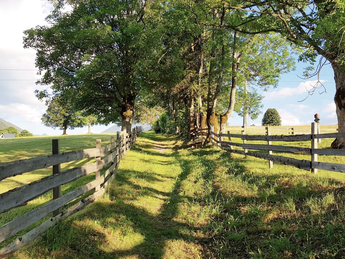
"Alberlechgasse" trail - a nice part of Meadow Trail in Rohrmoos | © Gerhard Pilz | Gerhard Pilz
1/9
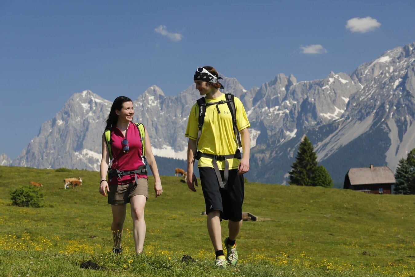
Along the Meadow Trail in Rohrmoos - Dachstein in the backdrop | © Tourismusverband Schladming - Herbert Raffalt | Herbert Raffalt
2/9
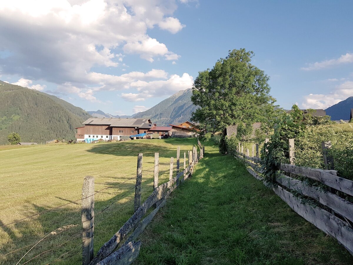
"Alberlechgasse" trail takes you to Alberlechnerhof farm (left on the image) | © Gerhard Pilz | Gerhard Pilz
3/9
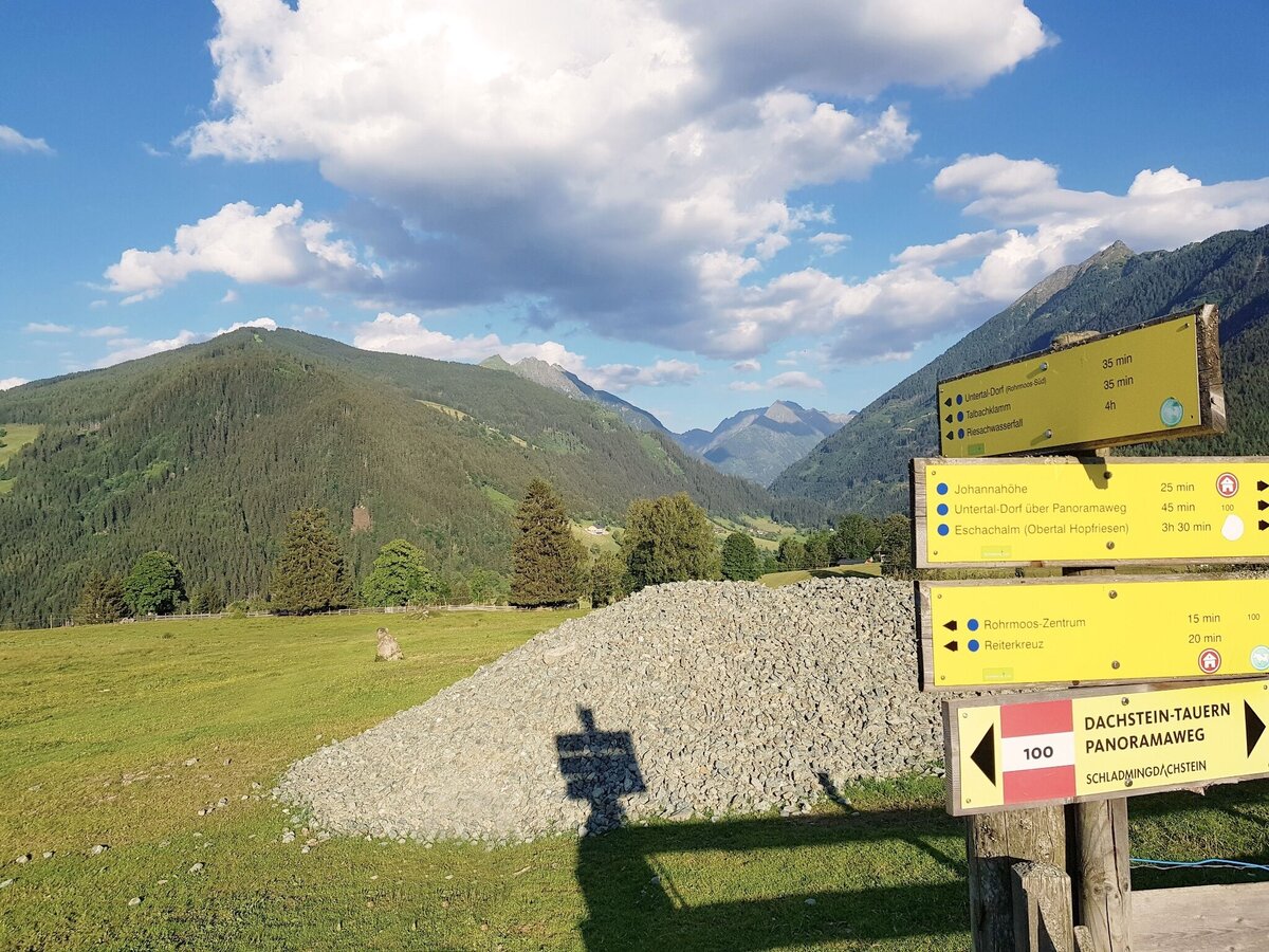
Waypoint Rohrmooser Frei - Meadow Trail continues to the left | © Gerhard Pilz | Gerhard Pilz
4/9
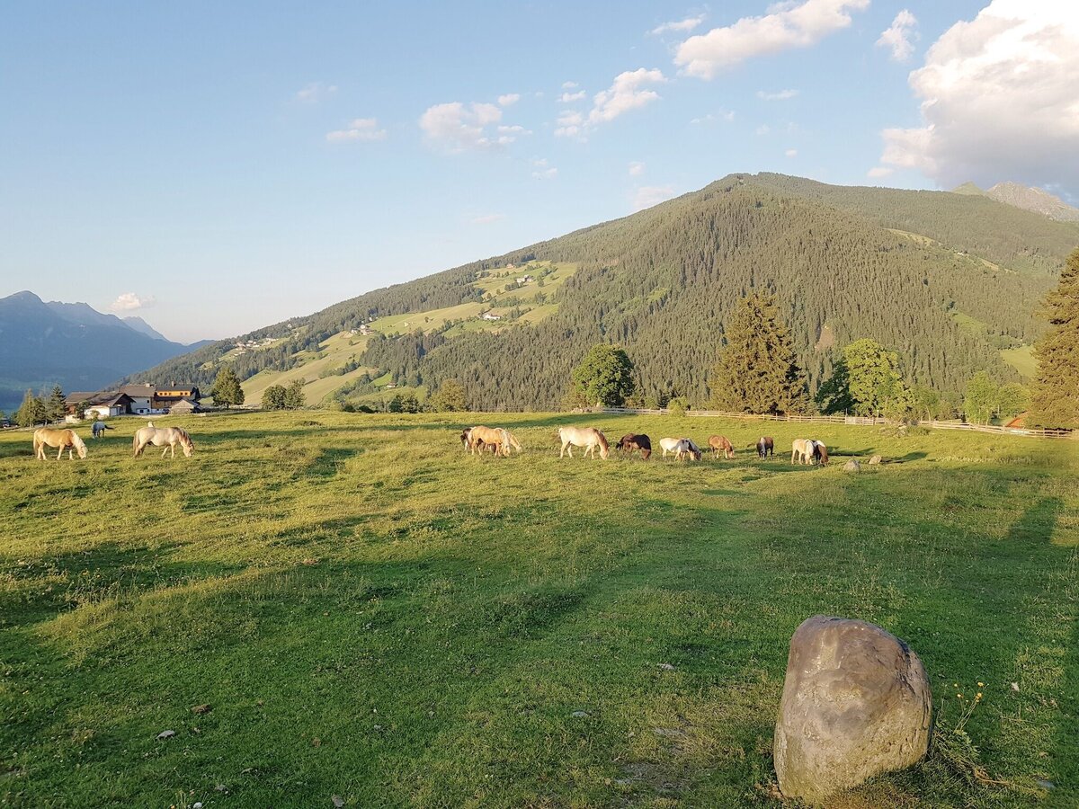
The stones on Rohrmooser Frei meadow mark the trail | © Gerhard Pilz | Gerhard Pilz
5/9
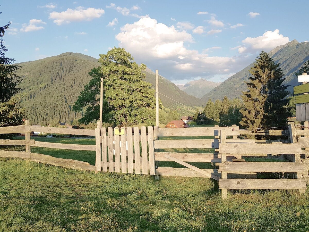
Gate at Rohrmooser Frei connecting to Hagerat Tour | © Gerhard Pilz | Gerhard Pilz
6/9
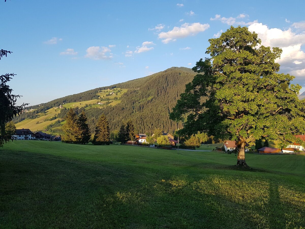
On the way to the waypoint at Rohrmoos-Südweg road | © Gerhard Pilz | Gerhard Pilz
7/9
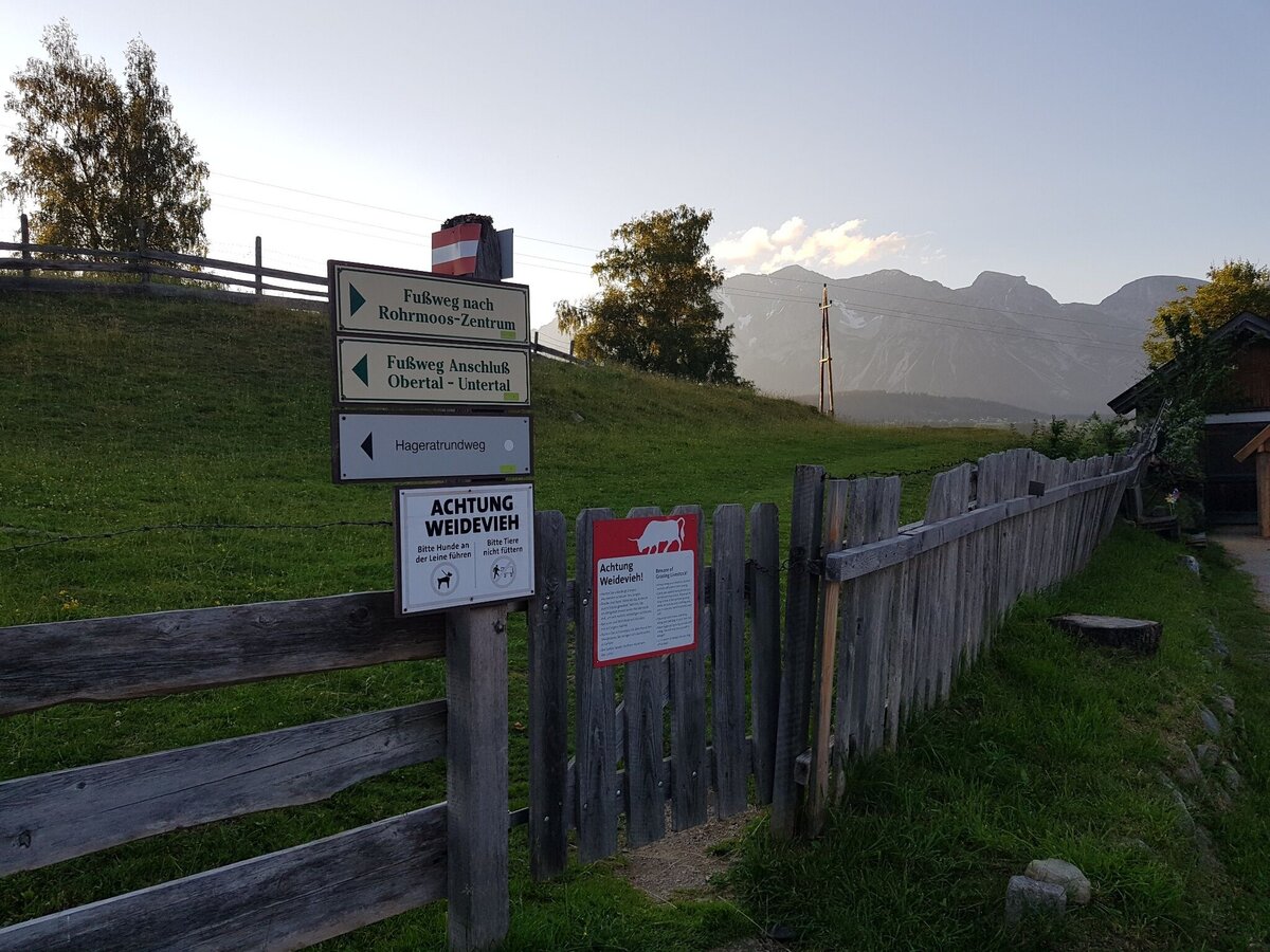
Gate to the meadows of Hagerat in Rohrmoos | © Gerhard Pilz | Gerhard Pilz
8/9
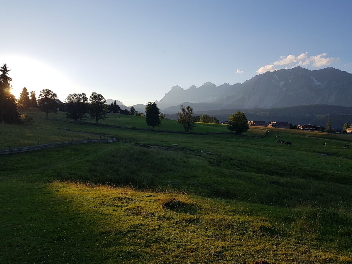
The "Hagerat" - a beautiful alpine meadow in Rohrmoos | © Gerhard Pilz | Gerhard Pilz
9/9

What the weather will be like Schladming (740m)
Today, 23.10.2026
The day starts sunny, but will be partly cloudy in the afternoon.Morning

-2°C
sr.Regenwahrscheinlichkeit
0%
sr.Windstärke
5 km/h
Noon

10°C
sr.Regenwahrscheinlichkeit
0%
sr.Windstärke
5 km/h
Night
6°C
sr.Regenwahrscheinlichkeit
5%
sr.Windstärke
5 km/h
Tomorrow, 24.10.2026
Rainfall will end around noon, then the clouds will break up.Morning

3°C
sr.Regenwahrscheinlichkeit
80%
sr.Windstärke
5 km/h
Noon

6°C
sr.Regenwahrscheinlichkeit
85%
sr.Windstärke
5 km/h
Night

2°C
sr.Regenwahrscheinlichkeit
45%
sr.Windstärke
0 km/h
Forecast
25.10.2026
-1°C
9°C
26.10.2026
2°C
11°C
27.10.2026
0°C
13°C
