


Laubschachen Trail
Accessible by public transport- Hiking bus (within 15 minutes walking distance from starting point)
Characteristics
SkillThe tour in numbers
Level of difficulty
medium
Route
10,8 km
Time
4:00 h
Uphill
260 hm
Downhill
740 hm
Highest point
1823 m
Laubschachen (=foliage forest) Trail takes you from Ursprungalm to the summit of Hochwurzen via alpine meadows and thick forests.
The route is made up of alpine trails and forest path with medium difficulty, and we recommend you use hiking boots for this tour. Toilets are only available at the starting point Ursprungalm and finishing point at the valley terminal of Gipfelbahn Hochwurzen cable-car. Bus line #972 takes you from Schladming and Rohrmoos to Ursprungalm, the trail head of the tour. Refreshment stops are Ursprungalm inn at the very beginning of the tour, and Familienhotel Austria at the end.
Points of Interest:
- Ursprungalm cirque and alp beneath the North face of Steirische Kalkspitze summit.
- primeval forest zone between Neudeggalm and Obere Moarhofalm.
Best season
January
February
March
April
May
June
July
August
September
October
November
December
More information
From Schladming take provincial highway L722 (Rohrmoosstraße road) to Rohrmoos and at the roundabout continue straight on to the valley terminal of the Gipfelbahn Hochwurzen cable-car. It is best to park your car here and take the Planai bus to Ursprungalm for 2 reasons - first: the finishing point of your hike is at the valley terminal of the cable-car; thus you would need a second car to get the other car at Ursprungalm. Second: the road to Ursprungalm chalets in Preuneggtal valley is a toll road (the toll is included in the bus ticket).
Parking is available at the valley terminal of Gipfelbahn Hochwurzen cable car.
Parking is available at the valley terminal of Gipfelbahn Hochwurzen cable car.
From Ursprungalm to Hochwurzen
You start your tour on trail n° 771 at Ursprungalm chalets, which you reach comfortably with the Planai buses. The impressive Dachstein massif always in your view you start your hike towards Hochwurzen - taking you over beautiful alpine meadows and thik forest. On the way you pass by centuries-old Swiss stone pines and the nature trail at Rossfeld.
Due to a primeval rockslide the area between Obere Moarhofalm and Obere Neudeggalm can hardly be used for forestry operations. Thus, this part of the trail takes you through a primeval forest with numerous old spruces, larches, and Swiss stone pines. Caused by the location the trees often have a special habit. At Obere Neudeggalm you turn-off on trail n° 773 and hike up to Latterfußsattel mountain saddle where you continue on the other side of the saddle on path #773 downhill in the direction of Rohrmoos/Hochwurzen cable car valley station.
After a few minutes you reach a forest path (the "Hochweg") which you walk north out of the valley. You will then come to the crossroads with hiking trail #61, which leads from the Hüttecksattel into the valley. Take the hiking trail downhill to the right and then take the lower forest path on which you hike for a good half hour out of the valley to the valley station of the Hochwurzen summit lift, where you have reached your destination.
An alternative possibility is to follow path n° 60 from the Latterfusssattel to the Rossfeld. After the descent to Hüttecksattel mountain saddle you reach Hochwurzenhütte at the summit of Hochwurzen in about 25 minutes. Here you can enjoy a snack at the chalet and enjoy the great panoramic views.
From the summit you can descend with the cable-car or take a Mountain GoKart (www.mountain-gokart.at - make sure to get your ticket at the shop before your hike) to the valley. If you want to keep on walking you can also descend to the valley terminal of Gipfelbahn Hochwurzen cable-car via trail n° 60.
There are two more alternative routes for this tour:
- At Obere Neudeggalm you can continue along trail n° 771 via Untere Neudeggalm and via a forestry road to Hotel Winterer. This is a faster way out of the mountains during uncertain weather conditions.
- Another possibility is to start at Hochwurzen and finish at Ursprungalm - in this case it is very important to keep the bus schedule in mind!
Changes in weather patterns, quick falls in temperature, thunderstorms, wind, fog and snow are some of the dangers that can be encountered on a hiking tour. Hosts of alpine huts and mountain refuges have a lot of experience in the mountains and can give good advice about weather and the trails. Poor equipment, overestimation of one's own capabilities, carelessness, poor personal constitution and/or wrong judgement can lead to critical situations. In case of thunderstorms: avoid summits, ridges and steel ropes.
GPS data and orienteering
Available GPS data - just like hiking maps - is only a guidance for orientation and can never depict a trail exactly with all its details. Especially at dangerous spots it is essential to judge on site how to proceed.
In an emergency please call:
- 140 - for Alpine emergencies (all over Austria)
- 112 - European GSM emergency number
A well-packed backpack is helpful and especially when touring Alpine terrain a tuque, gloves, a windproof jacket and pants are standard equipment. Good, waterproof shoes, sun glasses, sun cream and sufficient beverages are essential too. Torch light, a map of the area, knie and a small first-aid kit should also be in the backpack.
From Latterfußsattel you can take an alternative route
With the Planai buses from Schladming (Planet-Planai, Lendplatz) or Rohrmoos (Rohrmoos-Zentrum) to Preuneggtal valley - bus stop Ursprungalm (last stop).
- Buses of Planai-Hochwurzen-Bahnen: www.planaibus.at
Tourist information: www.schladming.com
Information about bus schedules: www.planaibus.at
Information about cable-car hours: www.planai.at
360° drone images
Get yourself an overview with our 360° drone images:
- Hochwurzen, Rossfeld & Guschen: https://vonoben.schladming-dachstein.at/sommer/index.php?S=305
- Hochfeld and Schiedeck: https://vonoben.schladming-dachstein.at/sommer/index.php?S=306
- Hiking map ‘Hiking WEST’ available at the information offices in the region.
- Schladming hiking map, 1:25,000, available at the Schladming information office.
- Hiking map Schladming-Dachstein, 1:50,000, available at the information offices in the region.
- Hiking guide Schladming-Dachstein by Herbert Raffalt, available at the information offices in the region.
Map & downloads
Gallery
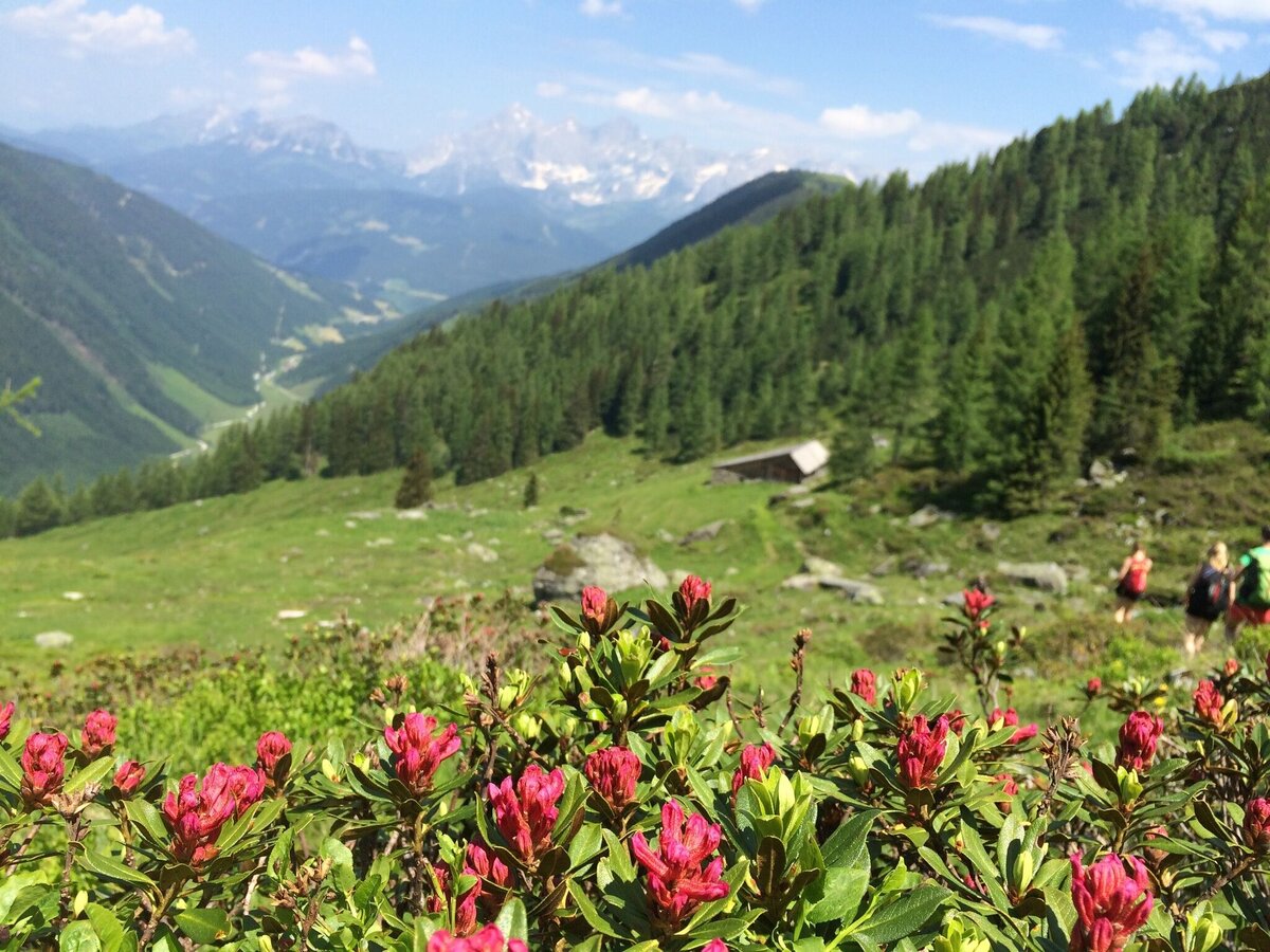
Panoramic view from Laubschachen Trail to the Dachstein massif | © Tourismusverband Schladming - Katrin Hutegger | Katrin Hutegger
1/5
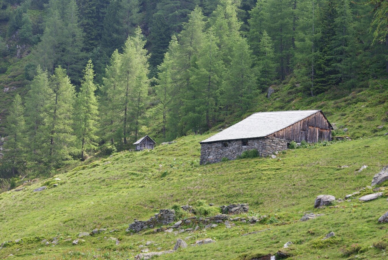
Obere Neudeggalm at Laubschachen Trail | © Gerhard Pilz | Gerhard Pilz
2/5
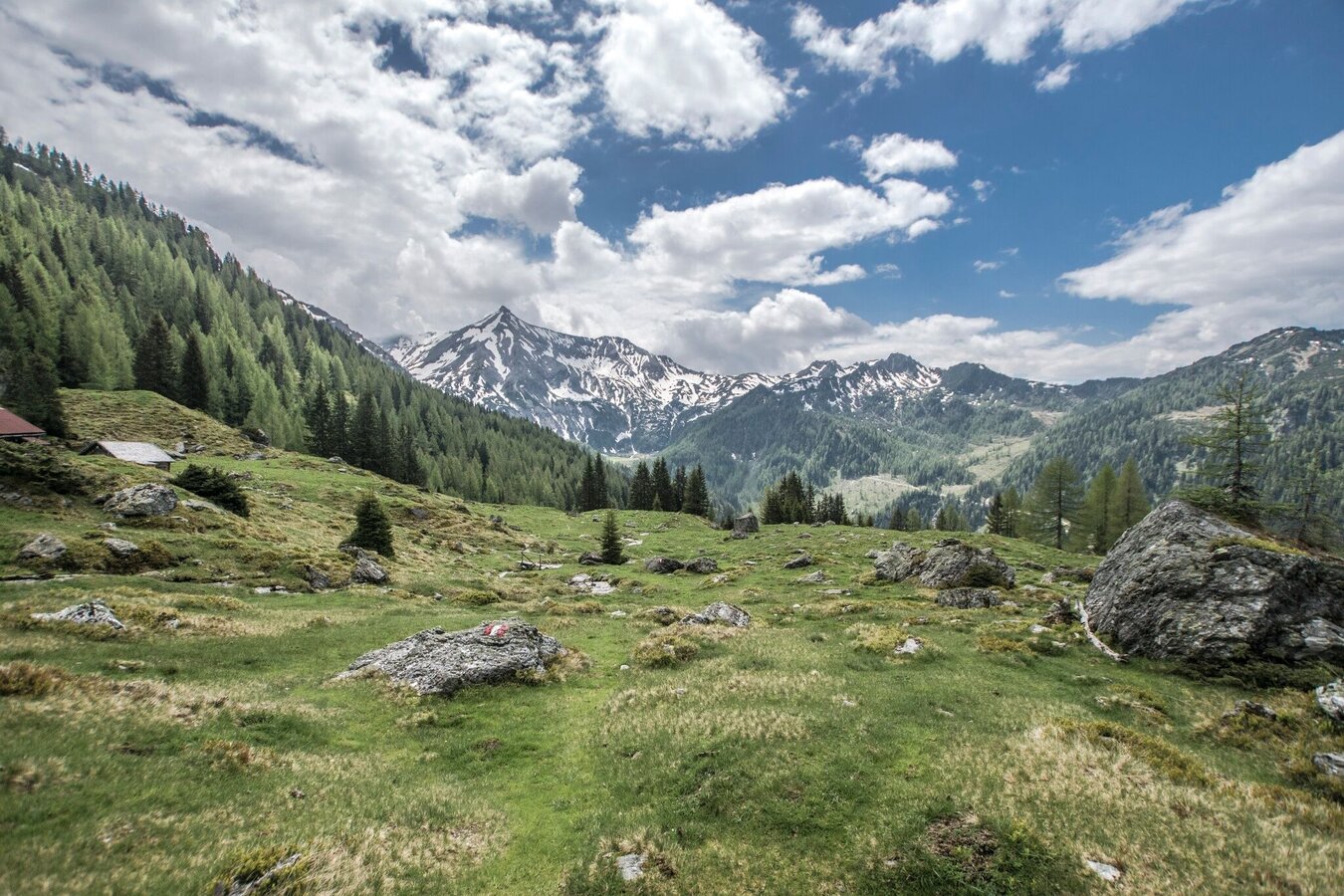
View from Obere Neudeggalm towards Ursprungalm and Steirische Kalkspitze | © Gerhard Pilz - www.gpic.at | Gerhard Pilz
3/5
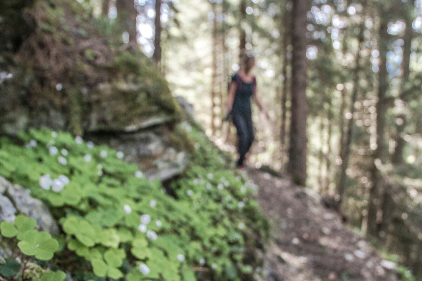
Spring's clover along the Laubschachen Trail | © Gerhard Pilz - www.gpic.at | Gerhard Pilz
4/5
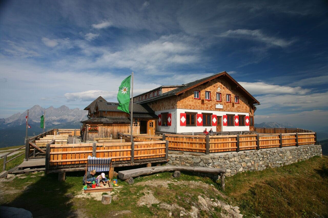
Hochwurzenhütte in summer - Schladming Tauern range | © Tourismusverband Schladming - Herbert Raffalt | Herbert Raffalt
5/5

What the weather will be like Schladming (740m)
Today, 18.10.2026
Dry and partly sunny throughout the day, with cloudy periods from time to time.Morning

7°C
sr.Regenwahrscheinlichkeit
0%
sr.Windstärke
0 km/h
Noon
17°C
sr.Regenwahrscheinlichkeit
0%
sr.Windstärke
5 km/h
Night

11°C
sr.Regenwahrscheinlichkeit
0%
sr.Windstärke
5 km/h
Tomorrow, 19.10.2026
Early clouds will clear to leave the region with a dry and sunny day.Morning
5°C
sr.Regenwahrscheinlichkeit
0%
sr.Windstärke
0 km/h
Noon
15°C
sr.Regenwahrscheinlichkeit
0%
sr.Windstärke
10 km/h
Night

10°C
sr.Regenwahrscheinlichkeit
0%
sr.Windstärke
5 km/h
Forecast
20.10.2026
5°C
15°C
21.10.2026

6°C
15°C
22.10.2026

4°C
10°C
