


Lärchkaralm
Characteristics
FitnessThe tour in numbers
Level of difficulty
easy
Route
6,5 km
Time
2:00 h
Uphill
220 hm
Downhill
220 hm
Highest point
1291 m
A comfortable familiehike beside the ,,Lärchkar-Stream''. For those who prefer it further, you can hike even further to the Stallaalm.
THOUSANDS OF GREENS are bestowed upon you here when you hike along the babbling brook, through the forest and over bridges. Out of the last piece of forest, the wide alpine landscape opens up to you and you can already see the managed huts. Here everyone is happy - cows, pigs, rabbits. And the dairymaid? She serves you the finest alpine delicacies.
Best season
January
February
March
April
May
June
July
August
September
October
November
December
More information
From the Ennstalbundesstraße (B320) turn off at the Trautenfels junction in the direction of Irdning, Donnersbach, Donnersbachwald. Through the village of Donnersbach and another 12 km to Donnersbachwald. Past the Riesneralm and about 4 km to Hinterwald.
Free Parking at Hinterwald
Free Parking at Hinterwald
From the parking lot in Hinterwald you choose the entrance to the hiking trail to the left of the forest road and march along the torrent in a very relaxed way. Small bridges, rushing waterfalls and sunny spots add variety to the tour. At the wild animal feeding station, keep to the right and walk up the short climb to the power station. Now follow the forest path until you see the wide alpine landscape with the managed huts after the last piece of forest. Walk back along the same path.
- Plan your trip in advance, taking into account walking time, distance, elevation gain, hazards, and weather reports.
- Let others know where you are going and when you want to be back.
- Turn back in good time if the weather deteriorates. If you are caught in a thunderstorm, stay away from free-standing trees and wait out the storm, crouching if possible.
- Stay on marked trails and remember to close pasture fences.
- If you are a dog owner: Clarify before the hike if you need to cross a pasture. Keep your dog on a leash and make sure it stays calm. If a cow attacks, let the dog off the leash immediately. Never pick him up to defend him.
Possibility to continue on the forest road to Stallalm, 45 minutes from Lärchkaralm.
There gives no puplic transport.
Tourism information: www.schladming-dachstein.at
Tourist Office Schladming-Dachstein
Ramsauerstrasse 756
8970 Schladming
T: +43 3687 23310
info@schladming-dachstein.at
- SCHLADMING-DACHSTEIN Hiking map east. Available free of charge from tourist offices and accommodation providers.
- SCHLADMING-DACHSTEIN Hiking Map (1:50.000)
Map & downloads
Gallery
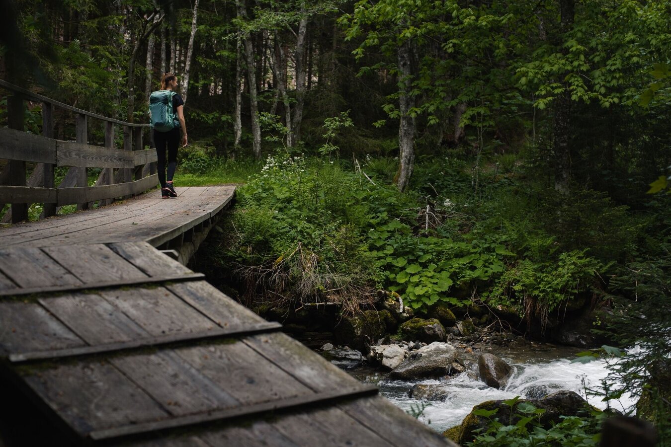
Wooden bridge near the Lärchkaralm | © Erlebnisregion Schladming-Dachstein | Christoph Lukas
1/6
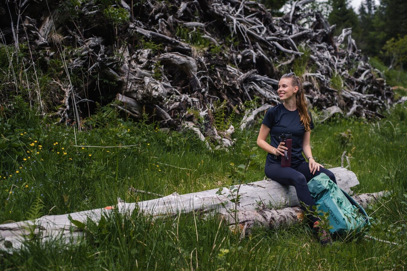
Neben vielen Bänken, bietet sich auch einmal ein gemütlicher Baum als Rastplatz an. | © Erlebnisregion Schladming-Dachstein | Christoph Lukas
2/6
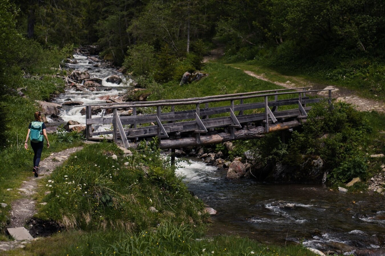
Eine von mehreren Brücken über den Lärchkarbach | © Erlebnisregion Schladming-Dachstein | Christoph Lukas
3/6
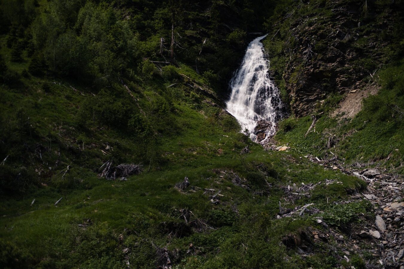
Flederbach Wasserfall | © Erlebnisregion Schladming-Dachstein | Christoph Lukas
4/6
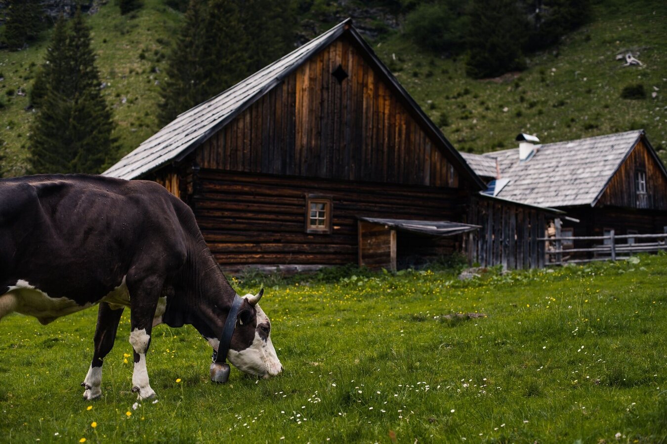
Die Hütten der Lärchkaralm mit ihren sommerlichen Bewohnern ;-) | © Erlebnisregion Schladming-Dachstein | Christoph Lukas
5/6
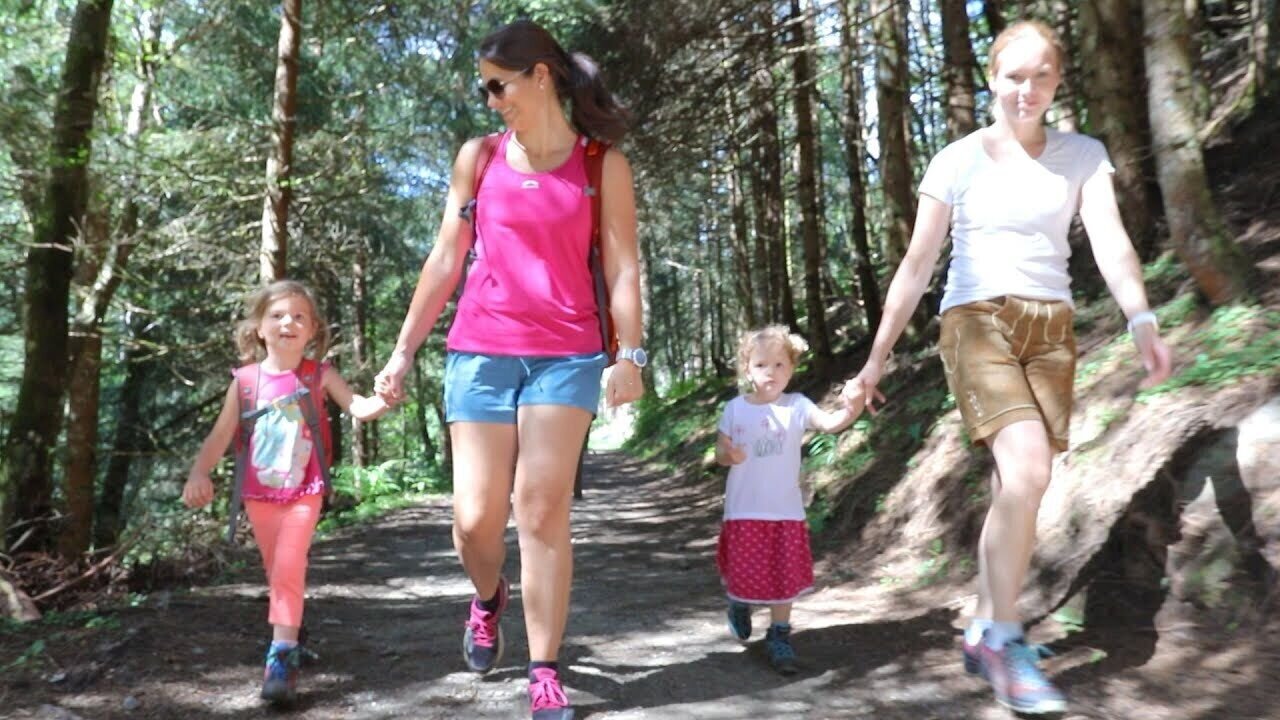
Family hike to the Lärchkaralm | © Klaus Zettler
6/6

What the weather will be like Irdning-Donnersbachtal (665m)
Today, 25.09.2026
Early clouds will clear to leave the region with a dry and sunny day.Morning

6°C
sr.Regenwahrscheinlichkeit
5%
sr.Windstärke
5 km/h
Noon

15°C
sr.Regenwahrscheinlichkeit
5%
sr.Windstärke
0 km/h
Night

10°C
sr.Regenwahrscheinlichkeit
0%
sr.Windstärke
5 km/h
Tomorrow, 26.09.2026
Dry and sunny throughout the day with hardly any clouds.Morning
4°C
sr.Regenwahrscheinlichkeit
0%
sr.Windstärke
0 km/h
Noon
18°C
sr.Regenwahrscheinlichkeit
0%
sr.Windstärke
5 km/h
Night
11°C
sr.Regenwahrscheinlichkeit
0%
sr.Windstärke
5 km/h
Forecast
27.09.2026
4°C
22°C
28.09.2026
6°C
23°C
29.09.2026
7°C
24°C
