


Lake hike from Giglach to Keinprechthütte via Duisitzkar
Characteristics
FitnessThe tour in numbers
Level of difficulty
medium
Route
9,8 km
Time
4:30 h
Uphill
540 hm
Downhill
595 hm
Highest point
2055 m
An alternative route for the 2nd day along the Schladminger Tauern High Trail with one of the most beautiful lakes in the Schladminger Tauern range.
The route to Keinprechthütte via Duisitzkarsee Lake and Neualm is a beautiful alternative to the classic stage of the Schladminger Tauern High Trail. Although a little longer by walking time and length, the panoramic view from Ferchtlhöhe ridge into Duisitzkar cirque and resting at the gorgeous lake fully compensate for the little detour.
Characteristics:
Alpine trail crossing a steep mountain face. Quite steep descent from Ferchtlhöhe ridge into Duisitzkar cirque.
Refreshment stops:
Giglachsee Hütte, Ignaz-Mattis-Hütte, Fahrlechütte, Duisitzkarseehütte, Keinprechthütte
Points of Interest:
Giglachseen Lakes, Murspitzsattel & Ferchtlhöhe ridges, Duisitzkarsee Lake, Neualmbach creek and Neualmkar cirque.
Best season
January
February
March
April
May
June
July
August
September
October
November
December
More information
After your overnight stay at Giglachseen lakes - either Ignaz-Mattis-Hütte or Giglachseehütte - you start out on trail n° 702 and walk along the Giglachseen Lakes on trail n° 702. At the Northeast shore of the bigger Giglachsee Lake you reach the trail junction with trail n° 776 which you follow for a bit and then continue on trail n° 775 along the slopes of Grobfeldspitze, Giglachalmspitze and Murspitzen. Via Murspitzsattel mountain saddle you reach Ferchtlhöhe ridge from where you get a great view of Duisitzkarsee Lake.
The steep descent takes you down towards the lake. Right at the beginning there is a passage with a steel rope for security. Then you reach a larch and pine forest through which you head downhill to reach Duisitzkarseehütte and Fahrlechhütte chalets at the lake. In summer the days are more than long enough to enjoy some time at the lake and marvel at the wonders of nature. If you are one of the toughest ones and go swimming in the lake, be considerate of the fish in the lake and avoid, for example, stirring up dust. In addition, please do not go into the water with sunscreen, as this can upset the sensitive ecology of the lake.
At the East shore you then continue on the trail towards Neualm. Through a high forest you hike along the Northeast face of Duisitzer Hahnkamp with some slight uphill and downhill passages. Once you reach Neualm (a private chalet) you make a right towards Keinprechthütte and continue on trail n° 774. Just after a view minutes the broad Neualmkar cirque opens up before you and gives sight into a beautiful scenery through which the Neualmbach creek meanders. You then continue to Keinprechthütte refuge where you stay overnight.
Surefootedness and experience in Alpine terrain required.
Changes in weather patterns, quick falls in temperature, thunderstorms, wind, fog and snow are some of the dangers that can be encountered on a hiking tour. Hosts of alpine huts and mountain refuges have a lot of experience in the mountains and can give good advice about weather and the trails. Poor equipment, overestimation of one's own capabilities, carelessness, poor personal constitution and/or wrong judgement can lead to critical situations. In case of thunderstorms: avoid summits, ridges and steel ropes.
GPS data and orienteering
Available GPS data - just like hiking maps - is only a guidance for orientation and can never depict a trail exactly with all its details. Especially at dangerous spots it is essential to judge on site how to proceed.
In an emergency please call:
- 140 - for Alpine emergencies (all over Austria)
- 112 - European GSM emergency number
Don't forget your camera. The breathtaking view from Ferchtlhöhe ridge to Duisitzkarsee Lake is worth a couple of photos.
The next puplic transport access are the buses of Planai-Hochwurzen-Bahnen at Ursprungalm (ca. 1 hour from Giglachseen Lakes) or Hopfriesen in Obertal (approx 2.5 hours from Giglachseen Lakes) respectively.
Tourist information: www.schladming.com
360° drone images
Get yourself an overview with our 360° drone images:
- View over Giglachkar cirque: https://vonoben.schladming-dachstein.at/sommer/index.php?S=307
- Giglachseen and Kalkspitzen summits: https://vonoben.schladming-dachstein.at/sommer/index.php?S=308
- Lower Giglachsee Lake and Vetternkar cirque: https://vonoben.schladming-dachstein.at/sommer/index.php?S=309
- Duisitzkarsee Lake: https://vonoben.schladming-dachstein.at/sommer/index.php?S=311
- View into Neualmkar cirque: https://vonoben.schladming-dachstein.at/sommer/index.php?S=312
- Hiking map Schladming, 1:25.000, available at the tourist office Schladming.
- Hiking map Schladming-Dachstein, 1:50.000, available at the tourist office Schladming.
- Guide book Schladming-Dachstein by Herbert Raffalt, available at the tourist office Schladming.
Map & downloads
Gallery
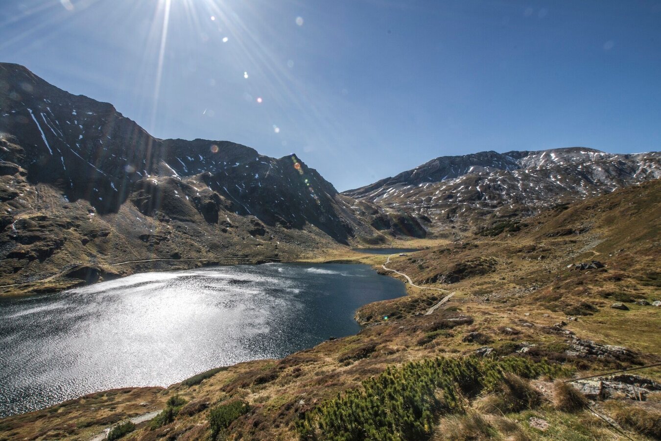
Wunderbare Herbstlandschaft im Giglachkar | © Gerhard Pilz - www.gpic.at | Gerhard Pilz
1/14
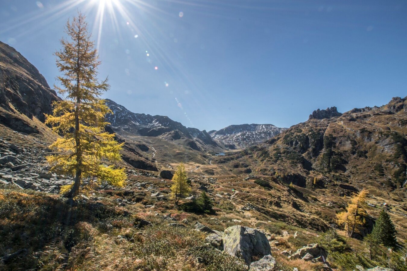
Auf dem Weg Richtung Murspitzsattel - Blick zurück ins Giglachkar | © Gerhard Pilz - www.gpic.at | Gerhard Pilz
2/14
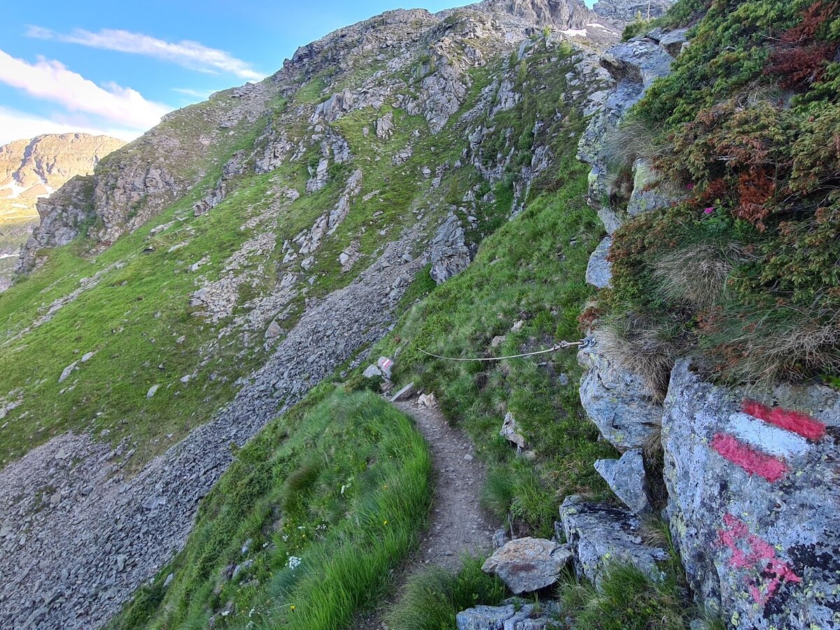
Seilversicherung am Murspitzsattel | © Erlebnisregion Schladming-Dachstein | Gerhard Pilz
3/14
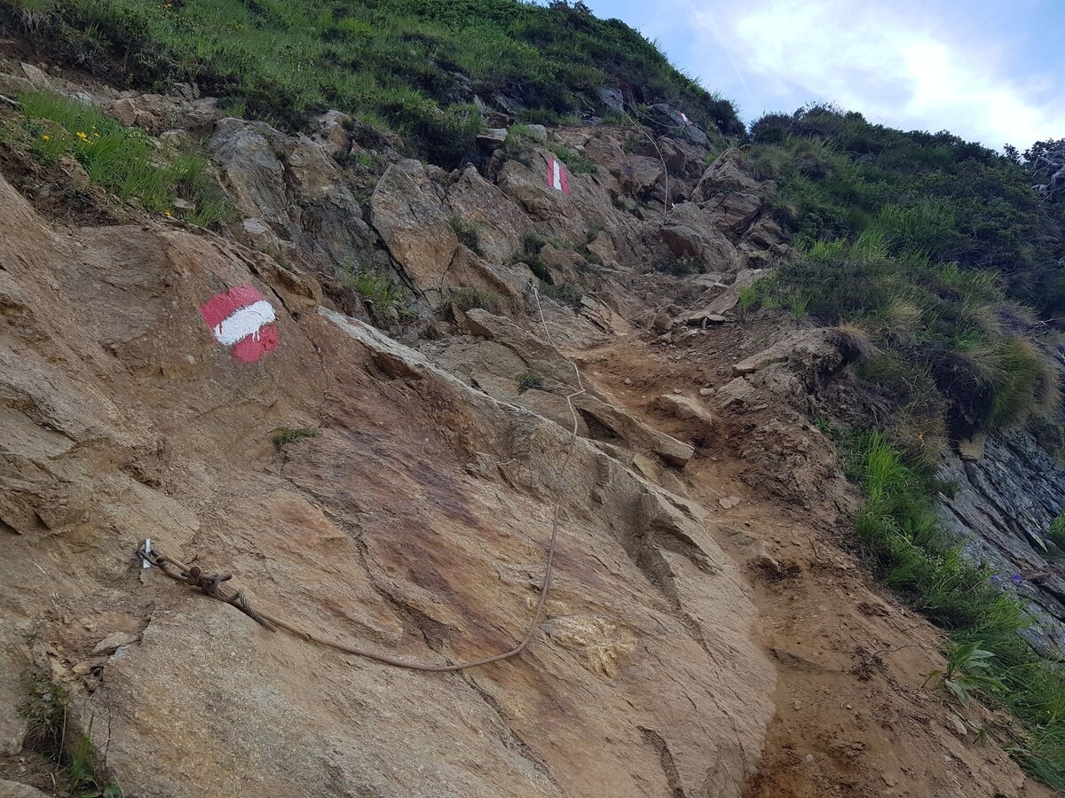
Schwierige, seilversicherte Stelle kurz unterhalb des Murspitzsattel | © Gerhard Pilz | Gerhard Pilz
4/14
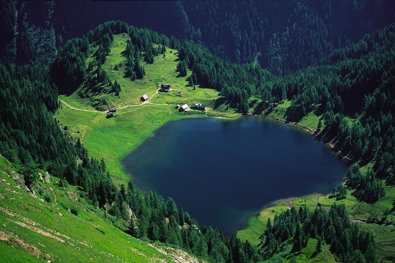
Blick von der Ferchtlhöhe auf den Duisitzkarsee | © Herbert Raffalt | Herbert Raffalt
5/14
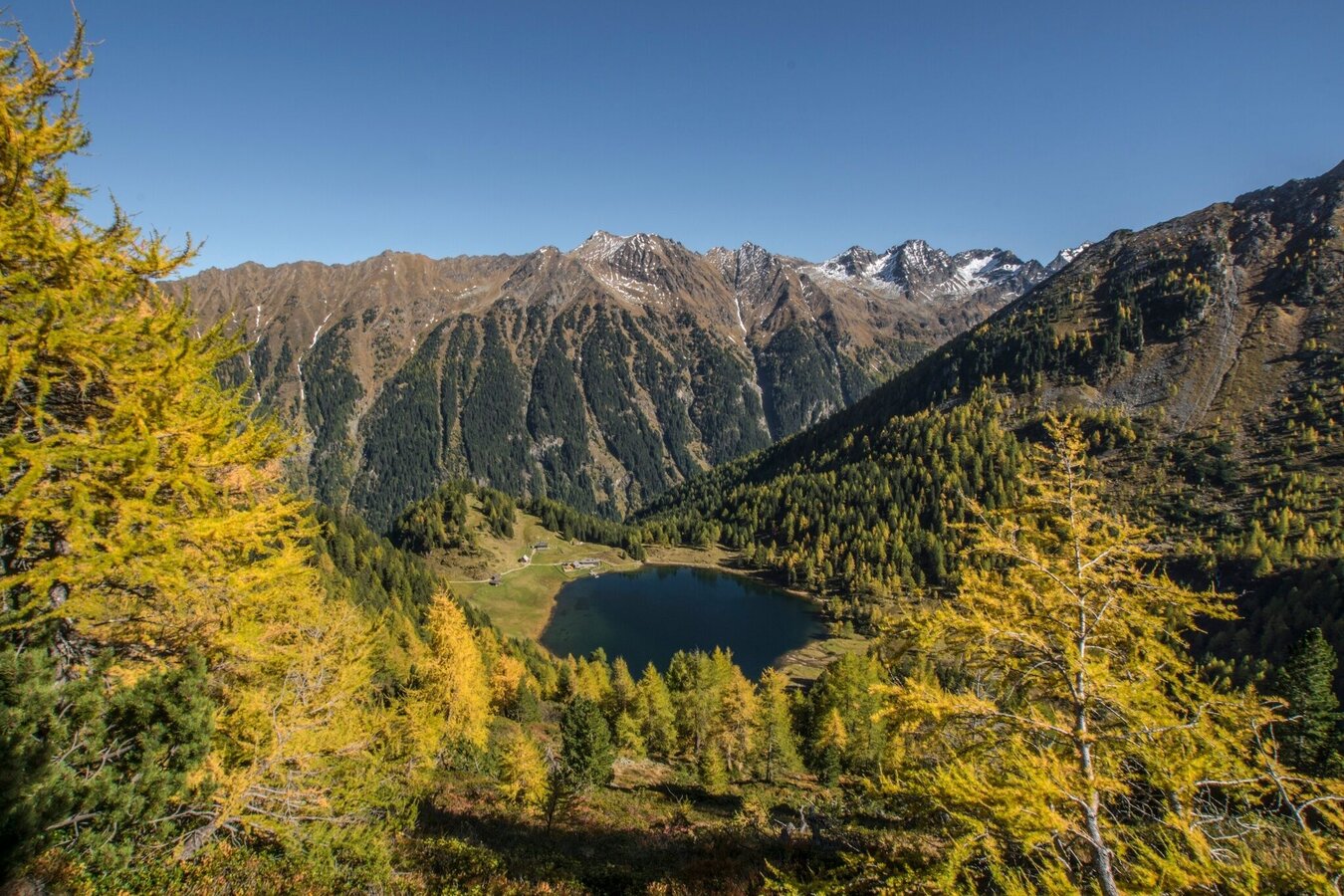
Herbsttraum beim Abstieg zum Duisitzkarsee | © Gerhard Pilz - www.gpic.at | Gerhard Pilz
6/14
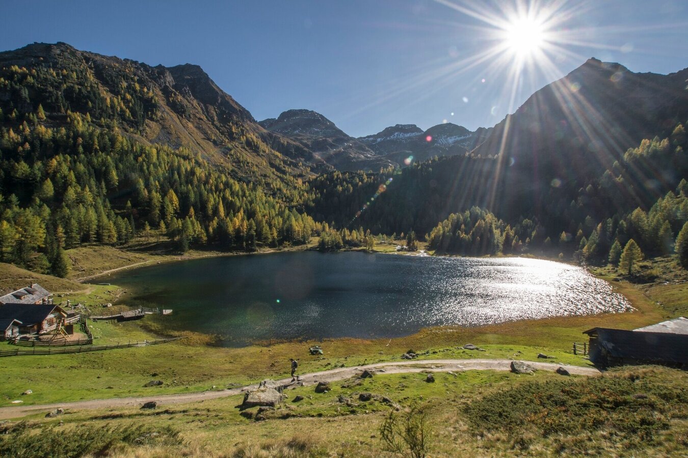
Wunderbare Herbsstimmung am Duisitzkarsee | © Gerhard Pilz - www.gpic.at | Gerhard Pilz
7/14
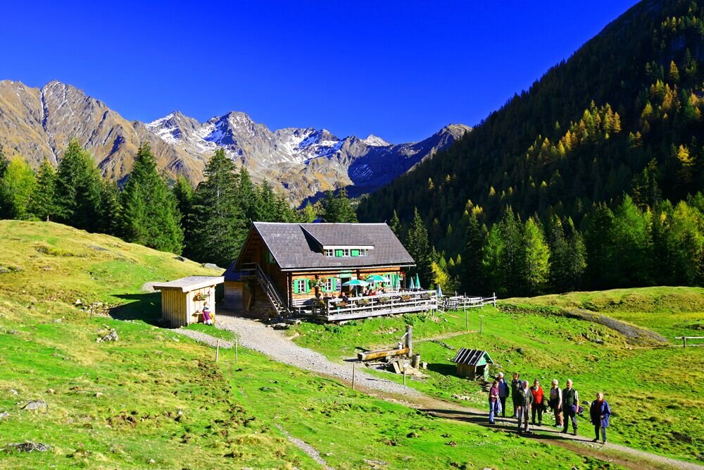
Blick von der Duisitzkarseehütte auf die Tauern | © Tourismusverband Schladming - Herbert Raffalt | Herbert Raffalt
8/14
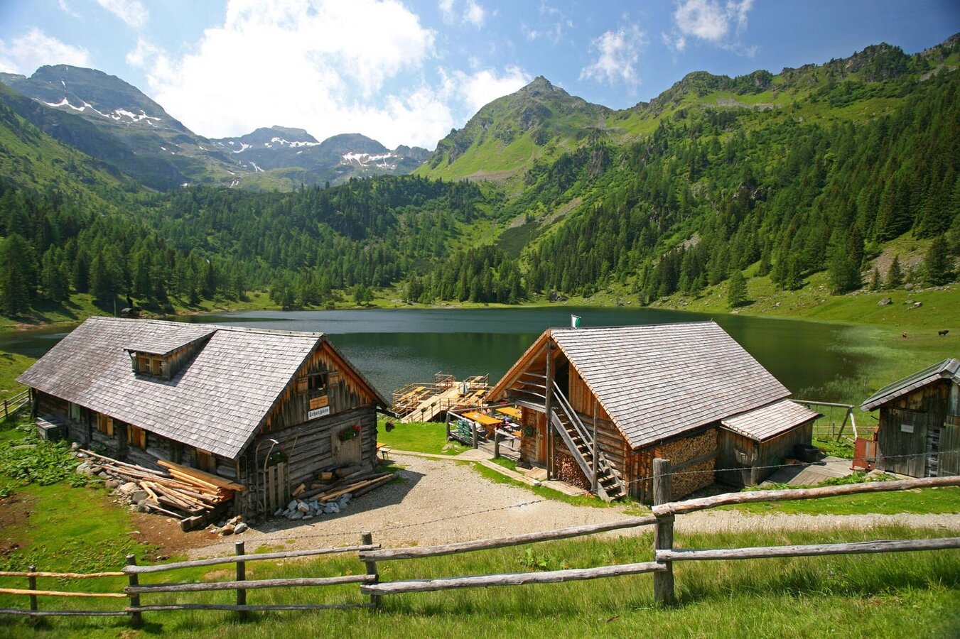
Fahrlechhütte, Duisitzkar, Obertal | © Tourismusverband Schladming - Herbert Raffalt | Herbert Raffalt
9/14
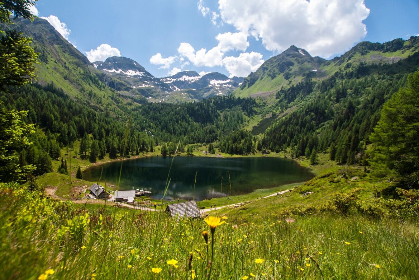
Duisitzkar mit dem Duisitzkarsee und den beiden Hütten im Obertal | © Gerhard Pilz - www.gpic.at | Gerhard Pilz
10/14
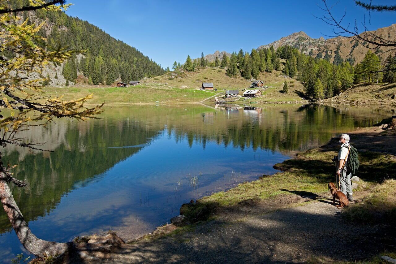
Der Duisitzkarsee im Obertal | © Tourismusverband Schladming - Herbert Raffalt | Herbert Raffalt
11/14
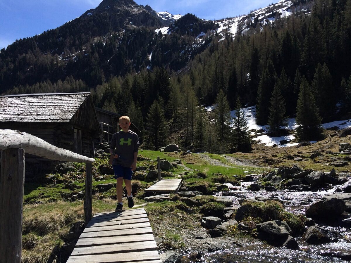
Überquerung Obertalbach bei der Neualm | © Tourismusverband Schladming - Katrin Hutegger | Katrin Hutegger
12/14
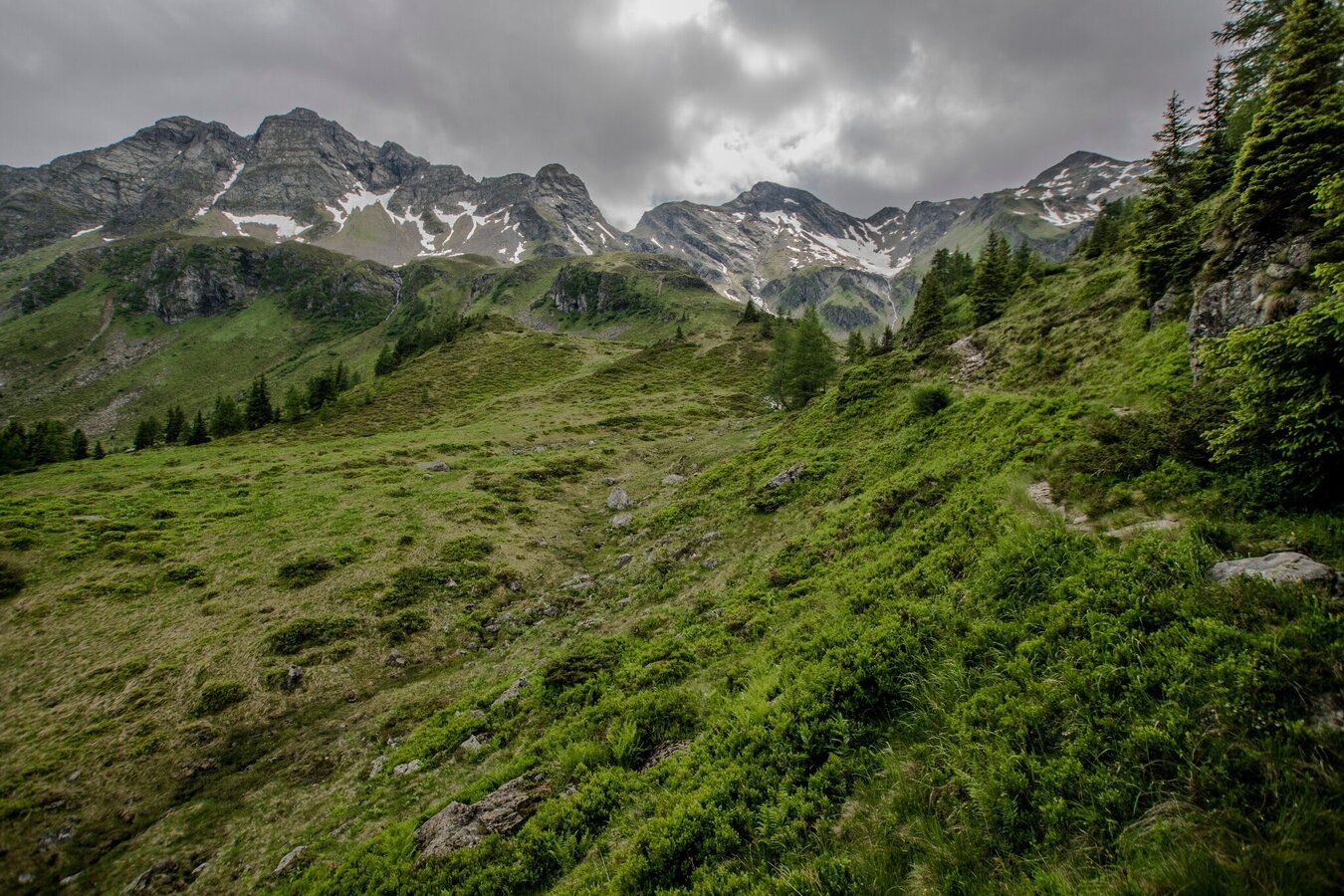
Blick ins Neualmkar | © Gerhard Pilz - www.gpic.at | Gerhard Pilz
13/14
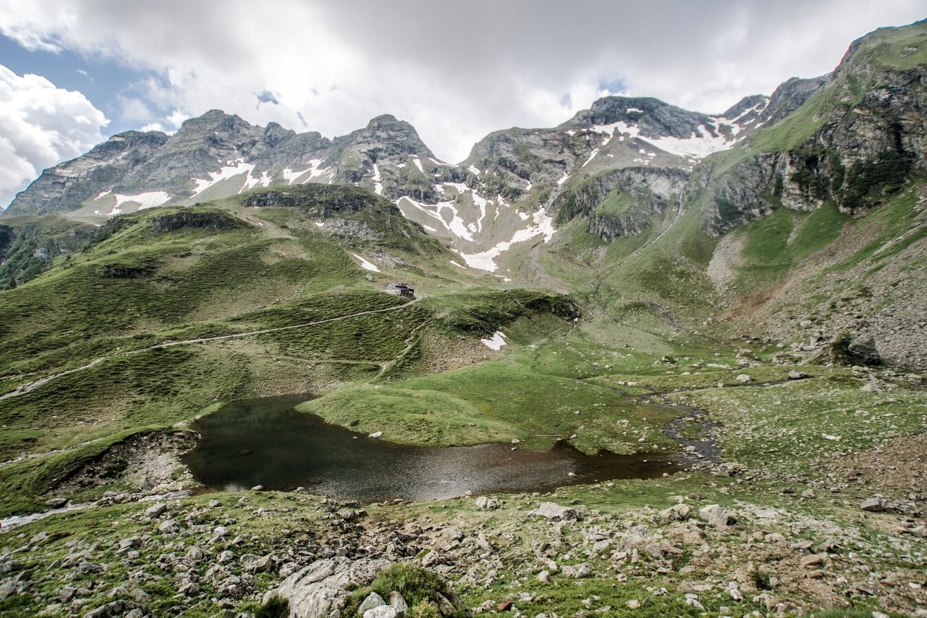
Blick auf die Keinprechthütte mit dem Hüttensee - ringsum das historische Bergbaugebiet | © Gerhard Pilz - www.gpic.at | Gerhard Pilz
14/14

What the weather will be like Schladming (740m)
Today, 24.09.2026
Fair in the early morning, then considerable cloudiness and frequent rain.Morning

9°C
sr.Regenwahrscheinlichkeit
0%
sr.Windstärke
5 km/h
Noon

15°C
sr.Regenwahrscheinlichkeit
75%
sr.Windstärke
10 km/h
Night

10°C
sr.Regenwahrscheinlichkeit
85%
sr.Windstärke
5 km/h
Tomorrow, 25.09.2026
Some clouds in the morning, lateron much sunshine and hardly any cloudsMorning
5°C
sr.Regenwahrscheinlichkeit
5%
sr.Windstärke
0 km/h
Noon

16°C
sr.Regenwahrscheinlichkeit
0%
sr.Windstärke
5 km/h
Night
10°C
sr.Regenwahrscheinlichkeit
0%
sr.Windstärke
5 km/h
Forecast
26.09.2026
2°C
19°C
27.09.2026
3°C
21°C
28.09.2026
5°C
22°C
