


Jagasteig-Riesneralm
Accessible by public transport- Public bus (within 15 minutes walking distance from starting point)
Characteristics
SkillThe tour in numbers
Level of difficulty
easy
Route
2,2 km
Time
1:30 h
Uphill
350 hm
Downhill
100 hm
Highest point
1919 m
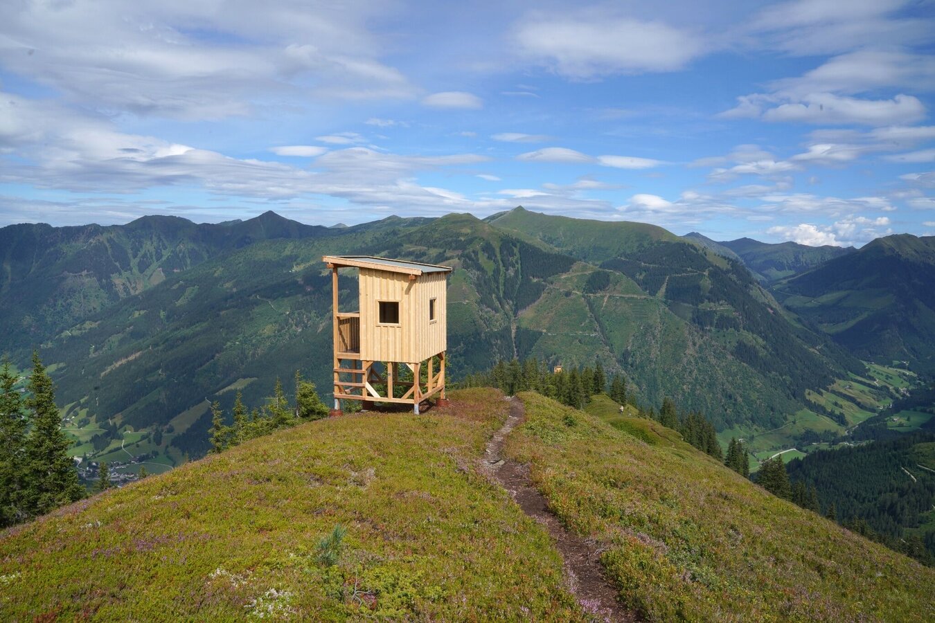
The Jagasteig on the Riesneralm is a family-friendly adventure trail. Along the ridge, several hunting stands invite children and adults to explore the forest in a playful way and experience nature from a completely new perspective.
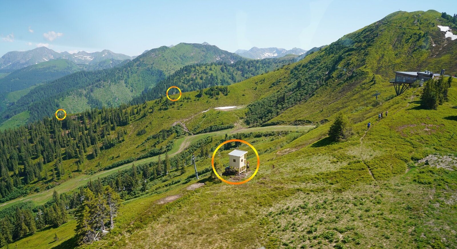
Have you always wondered where fox and hare say “good night” to each other? Along the Jagasteig, you will find four hunting stands that the hunter “lends” to you during the day. In a simple and easy-to-understand way, the forest and its biodiversity are brought closer to you. The hunting stands are located along the ridge and are easily accessible on foot for both young and old nature explorers. This mountain attraction is included in the summit ticket.
Another highlight is the TierHOLZpark. Oversized animals made of wood and local materials bring fun, games, and adventure to the Riesneralm.Standing 3 to 4 meters tall, each animal features a small playground inside, inviting children to slide, climb, and explore. Next to the animals, you’ll also find colorfully illustrated animal books where both young and old can discover fascinating facts about foxes, deer, capercaillies, and more. The TierHOLZpark is located near the mountain station.
Best season
January
February
March
April
May
June
July
August
September
October
November
December
More information
Coming from the B320, at the Trautenfels intersection in the direction of Irdning. Then direction Donnersbach, Donnersbachwald to the valley station Riesneralm.
Large, free parking lot directly at the Riesneralm valley station.
Comfortably float with the help of two chairlifts in 20 minutes to the top station.
Large, free parking lot directly at the Riesneralm valley station.
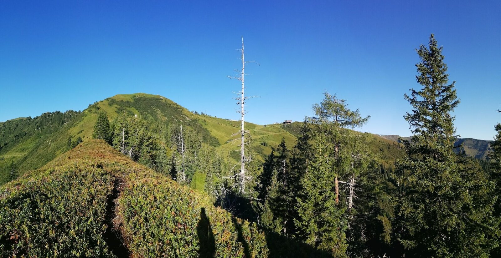
The starting point is the mountain station of the Riesneralm cable car. Behind the mountain inn, the trail leads into the forest, where you follow the signs uphill to the right. From here, the well-marked path initially climbs gently across alpine meadows towards the ridge. After just a few minutes, impressive views open up over the surrounding mountains of the Wölzer Tauern and the Enns Valley.
The trail mostly follows the ridge towards the Riesnerkrispen. Along the way, several resting spots invite you to take a break. The highlight of the tour is the four oversized hunting stands built along the ridge. They not only provide special viewpoints, but also turn the hike into an exciting adventure for children. Here, the forest can be discovered playfully from a completely new perspective.
If you are looking for a more challenging option, you can start at the valley station and hike up to the mountain station. This extends the tour to approximately two to two and a half hours of ascent.
Basic Equipment
Don’t forget to stop for refreshments at the Hochsitz and take a dip in the summit pool.
- Sturdy, non-slip footwear (light hiking boots or good sports shoes with grip)
- Comfortable, weather-appropriate clothing
- Small backpack
- Sufficient water
- Sun protection (cap, sunglasses, sunscreen)
Don’t forget to stop for refreshments at the Hochsitz and take a dip in the summit pool.
Safety & Mountain Etiquette
- Let someone know where you are going and when you plan to return.
- Turn back in good time if the weather deteriorates.
- If you are caught in a thunderstorm, stay away from isolated trees and wait it out in a crouched position if possible.
- Stay on marked trails and remember to close pasture gates behind you.
- Dog owners: Check in advance whether you need to cross grazing areas. Keep your dog on a leash. In case of a cow attack, release the dog from the leash immediately.
- Mountains and valleys do not appreciate litter on paths and meadows – please take your rubbish back with you. Agriculture and forestry are important partners in the mountain region. They allow access to many of their paths. Mutual respect ensures that outdoor recreation will continue to be possible in the future.
Take the bus to the Donnersbachwald bus stop (village center). Nearby is the valley station Riesneralm, where the chairlift takes you comfortably up the mountain.
Tourist Information: www.schladming-dachstein.at
Tourismusverband Schladming-Dachstein
Ramsauerstraße 756
8970 Schladming
T: +43 3687 23310
Litter on meadows and trails cannot be “smelled” by the mountains and valleys—please take it with you. Agriculture and forestry are important partners for the mountains and valleys. They allow you to use many of their paths. Keep in mind that only mutual respect ensures that you can continue to enjoy outdoor recreation in the future.
Map & downloads
Gallery
Jagasteig Riesneralm | © Unbekannt | Riesneralm Bergbahnen/Erwin Petz
1/3
Standorte der Hochsitze vom Endpunkt aus gesehen. | © Unbekannt | Erwin Petz
2/3
Jagasteig on the Riesneralm | © Erlebnisregion Schladming-Dachstein | Roland Gutwenger
3/3

What the weather will be like Irdning-Donnersbachtal (665m)
Today, 15.10.2026
Early clouds will clear to leave the region with a dry and sunny day.Morning

6°C
sr.Regenwahrscheinlichkeit
0%
sr.Windstärke
5 km/h
Noon

16°C
sr.Regenwahrscheinlichkeit
0%
sr.Windstärke
5 km/h
Night

10°C
sr.Regenwahrscheinlichkeit
0%
sr.Windstärke
5 km/h
Tomorrow, 16.10.2026
Dry and sunny throughout the day with hardly any clouds.Morning
4°C
sr.Regenwahrscheinlichkeit
0%
sr.Windstärke
0 km/h
Noon
16°C
sr.Regenwahrscheinlichkeit
0%
sr.Windstärke
0 km/h
Night
9°C
sr.Regenwahrscheinlichkeit
0%
sr.Windstärke
5 km/h
Forecast
17.10.2026

4°C
16°C
18.10.2026
6°C
17°C
19.10.2026
4°C
17°C
