


Ice Age Nature Trail (Eiszeitlehrpfad)
Characteristics
SkillThe tour in numbers
Level of difficulty
medium
Route
2,8 km
Time
1:20 h
Uphill
220 hm
Downhill
220 hm
Highest point
1788 m
On this hike along the Ice Age educational trail along the "Roman Road" at the Sölk Pass, you will trace the Ice Age witnesses and learn more about the landscape formed by the Ice Ages at the Sölk Pass. You will also learn a lot about the plants and their strategies for adapting to the harsh climate.
As recently as 15,000 years ago, the Sölktäler Nature Park was covered by an almost 1,000 m thick ice sheet, before the ice masses melted after gradual warming and the devastated landscape was initially covered by sparse tundra vegetation. In the Sölk Pass area in particular, many glacial landscape forms can be recognized.
Best season
January
February
March
April
May
June
July
August
September
October
November
December
More information
Turn off the Ennstalstraße B320 at Pruggern (west) or Espang (east) in the direction of the Sölktäler Nature Park.
In Stein/Enns turn off towards Sölkpass, and after about 23 km you will reach the parking lot at Kaltenbachkehre.
Parking lot at the Kaltenbach bend.
In Stein/Enns turn off towards Sölkpass, and after about 23 km you will reach the parking lot at Kaltenbachkehre.
Parking lot at the Kaltenbach bend.
In the area of the Sölkpass you can meet free-roaming grazing cattle. Caution is required, especially with dogs.
Weather changes, rapid drop in temperature, thunderstorms, wind, fog and snow fields are objective dangers and require the right behavior on the way. Hut keepers are experienced mountain connoisseurs, they can give good tips on the weather and the course of the trail. Lack of equipment, overestimation of one's own abilities, carelessness, poor physical condition and a wrong assessment can lead to critical situations. During thunderstorms: avoid peaks, ridges and rope belays at all costs.
GPS data and orientation aids: Available GPS data - as well as hiking maps - are only an orientation aid, since they can never represent an exact image or the richness of detail of a path in reality. Especially in the case of danger spots, it must therefore always be decided in the end on the basis of the conditions on site whether and how the further course of the path looks like.
In case of emergency, please dial the following emergency numbers:
No. 140 - for alpine emergencies - Austria-wide
No. 112 - Euro emergency call GSM emergency call service
Take rainproof and warm clothes and enough water, possibly also a snack, wear shoes with non-slip profile soles. A first aid kit should also be in your backpack.
Weather changes, rapid drop in temperature, thunderstorms, wind, fog and snow fields are objective dangers and require the right behavior on the way. Hut keepers are experienced mountain connoisseurs, they can give good tips on the weather and the course of the trail. Lack of equipment, overestimation of one's own abilities, carelessness, poor physical condition and a wrong assessment can lead to critical situations. During thunderstorms: avoid peaks, ridges and rope belays at all costs.
GPS data and orientation aids: Available GPS data - as well as hiking maps - are only an orientation aid, since they can never represent an exact image or the richness of detail of a path in reality. Especially in the case of danger spots, it must therefore always be decided in the end on the basis of the conditions on site whether and how the further course of the path looks like.
In case of emergency, please dial the following emergency numbers:
No. 140 - for alpine emergencies - Austria-wide
No. 112 - Euro emergency call GSM emergency call service
Take rainproof and warm clothes and enough water, possibly also a snack, wear shoes with non-slip profile soles. A first aid kit should also be in your backpack.
SummitLynx- Your digital summit and hut book - available worldwide and always with you!
Hansenalm
Mautneralm
Winkleralm
Kaltenbachalm
Arrival at Stein/Enns train station with ÖBB.
Cab Stefan Mayer: +43 676 54 09 858
Valley bus from July 11 to September 13, 2026 - this makes crossings in the Sölktäler Nature Park possible. You can also travel comfortably by train and the valley bus will take you to the starting point of your hike. Click here for the timetable.
Cab Stefan Mayer: +43 676 54 09 858
Valley bus from July 11 to September 13, 2026 - this makes crossings in the Sölktäler Nature Park possible. You can also travel comfortably by train and the valley bus will take you to the starting point of your hike. Click here for the timetable.
Mountain guides from the region: www.schladming-dachstein.at/mountainguides
For more information, please contact the Schladming Dachstein Tourist Office - Sölktäler Nature Park Information Center:
Phone: +43 3687 23310 501
mailto:info@schladming-dachstein.at
Stein an der Enns 107
8961 Sölk
The brochure “Schladming-Dachstein Hiking” is available in all information offices in the region.
For more information, please contact the Schladming Dachstein Tourist Office - Sölktäler Nature Park Information Center:
Phone: +43 3687 23310 501
mailto:info@schladming-dachstein.at
Stein an der Enns 107
8961 Sölk
The brochure “Schladming-Dachstein Hiking” is available in all information offices in the region.
Map & downloads
Gallery
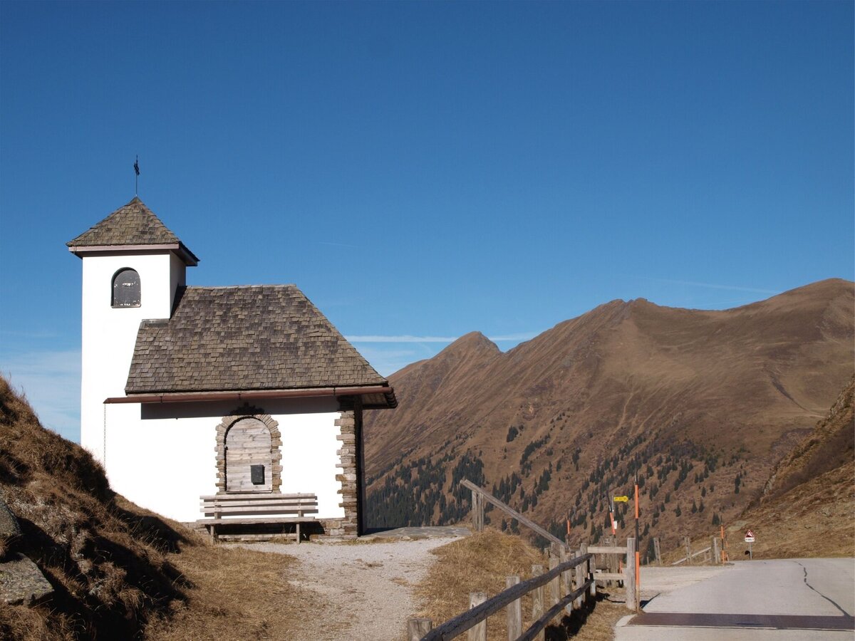
Kapelle 1788m am Sölkpass | © Alpenverein Linz | Karl Linecker
1/3
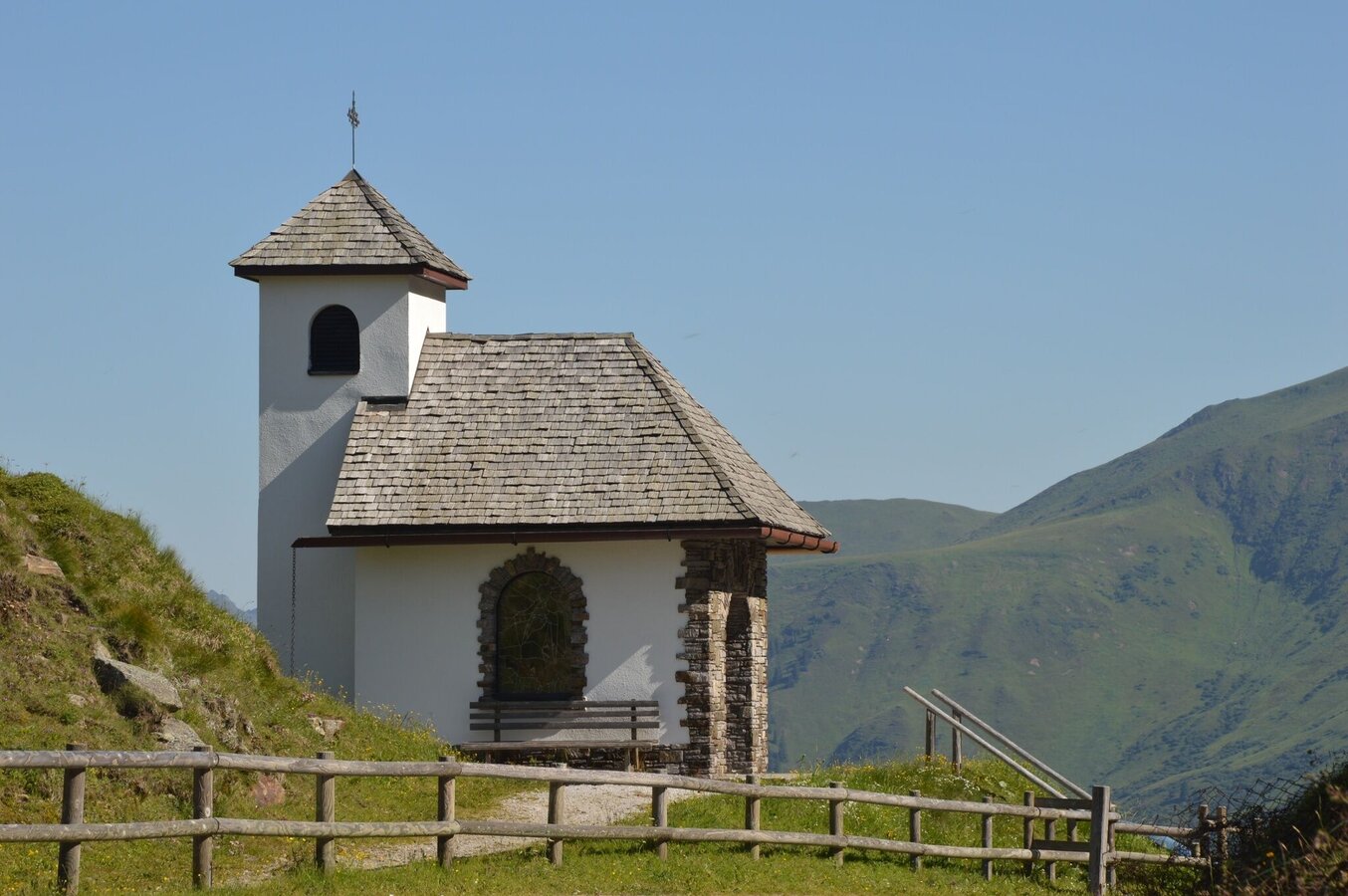
Sölkpasskapelle | © Fotograf: Volkhard Maier | Schladming Dachstein
2/3
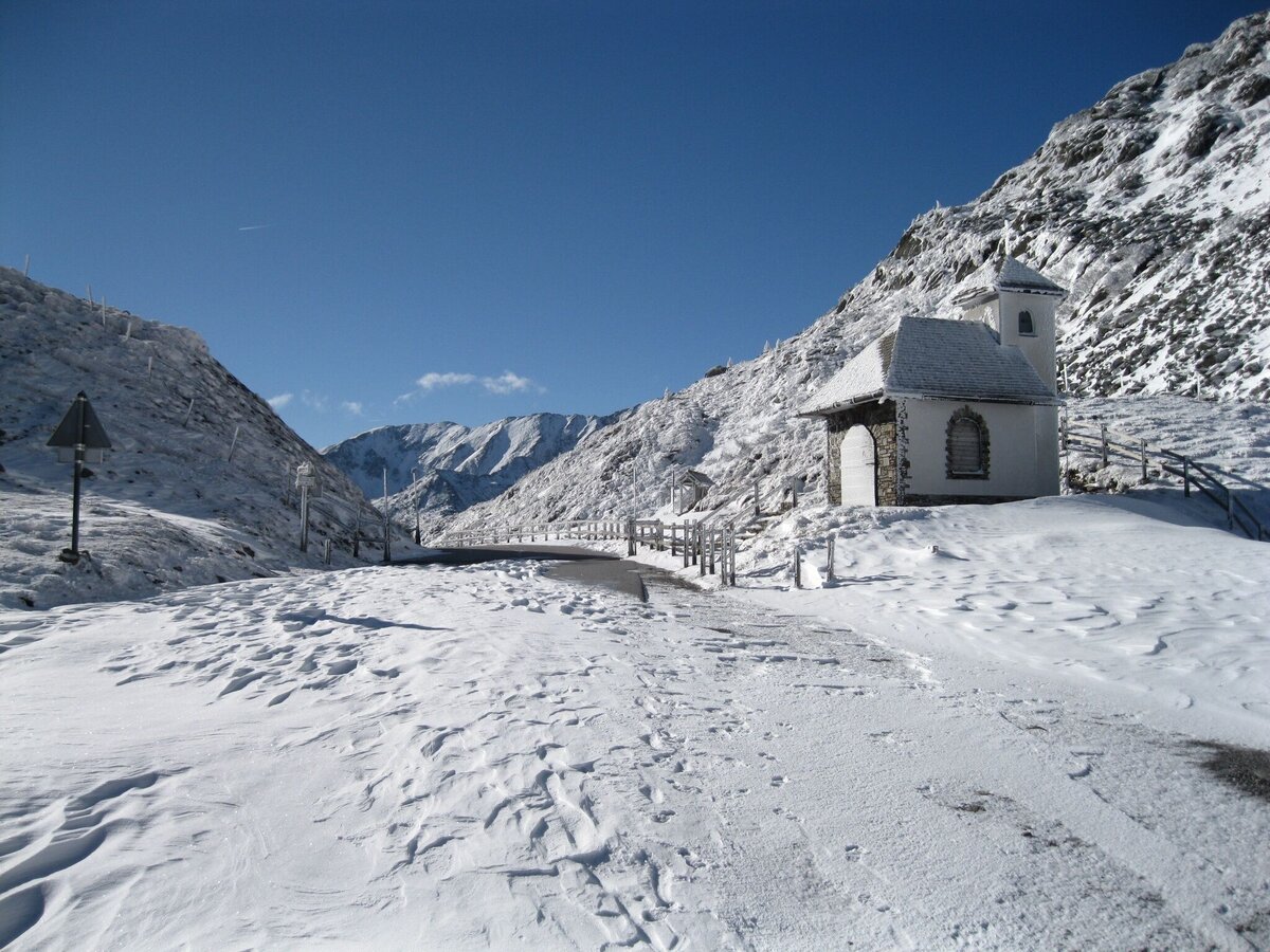
Sölkpasskapelle im Winter | © Fotograf: Volkhard Maier | Schladming Dachstein
3/3

What the weather will be like Sölk (668m)
Today, 25.09.2026
Early clouds will clear to leave the region with a dry and sunny day.Morning

6°C
sr.Regenwahrscheinlichkeit
5%
sr.Windstärke
5 km/h
Noon

16°C
sr.Regenwahrscheinlichkeit
0%
sr.Windstärke
5 km/h
Night

10°C
sr.Regenwahrscheinlichkeit
0%
sr.Windstärke
5 km/h
Tomorrow, 26.09.2026
Dry and sunny throughout the day with hardly any clouds.Morning
5°C
sr.Regenwahrscheinlichkeit
0%
sr.Windstärke
0 km/h
Noon
18°C
sr.Regenwahrscheinlichkeit
0%
sr.Windstärke
5 km/h
Night
11°C
sr.Regenwahrscheinlichkeit
0%
sr.Windstärke
5 km/h
Forecast
27.09.2026
4°C
21°C
28.09.2026
6°C
23°C
29.09.2026
7°C
24°C
