


Partially opened, Roadblock
Hochwurzen - Rossfeld - Guschen
Accessible by public transport- Public bus (within 15 minutes walking distance from starting point)
Characteristics
SkillThe tour in numbers
Level of difficulty
medium
Route
10,2 km
Time
4:00 h
Uphill
390 hm
Downhill
1100 hm
Highest point
1982 m
Lock away
Partially opened
Sperre Schwammerllehrpfad Rohrmoos Und Weg Nr. 61
Hike from the summit of Hochwurzen via the Hüttecksattel mountain saddle to Rossfeld and via Latterfußsattel mountain saddle to the Guschen. Then you hike back to Latterfußsattel and from there to the valley terminal of Hochwurzen cable-car.
Hike with medium difficulty from the summit of Hochwurzen to the summit of Guschen. Mountain pines and Swiss Stone Pines seam the trail which is a light up & down over the extensive ridge of Rossfeld. Alltogether a quite easygoing hike. From Hochwurzen (1,850 m) and Guschen (1,982 m) you have a great panoramic view to the Dachstein-Massif and the Schladminger Tauern mountain range.
Lock away
Partially opened
Sperre Schwammerllehrpfad Rohrmoos Und Weg Nr. 61
Due to logging operations, the "Schwammerl" educational trail is closed in the Obertalbahn and Schwammerlstadt area from September 18 to October 15, 2026.Affected routes include: (Please follow the on-site detour signs)
- Bernhard-Knaus Trail
- Laubschachenweg
- Rohrmoos running loop
- Hochwurzen Trail
- Hochwurzen-Rossfeld-Guschen
- Hochwurzen loop.
Best season
January
February
March
April
May
June
July
August
September
October
November
December
More information
Take provincial highway L722 from Schladming to Rohrmoos until you reach the Hochwurzen cable-car.
Parking is available at the valley terminal of the Hochwurzen cable-car.
Parking is available at the valley terminal of the Hochwurzen cable-car.
From the mountain terminal of the Hochwurzen cable-car at Hochwurzenhütte you follow trail n° 60 via "Kleine Wurzen" and through the pine forest to the mountain saddle of "Hüttecksattel" (1,744 m) from where the trail ascends easily to the ridge of Rossfeld (1,919 m). While walking over the long ridge you get an idea why it has got its name (Rossfeld translates to "horse fur"). From the Rossfeld you descend to the mountain saddle of "Latterfußsattel" (1,792 m). From here the trail ascends again to the summit of Guschen (1,982 m) - the hightest point of this tour. From the summit you have a beautiful view into the Obertal valley and to the Steirische Kalkspitze summit at the valley head of Preuneggtal valley.
For the way back there are several alternatives:
- Take the way back to Latterfußsattel and from there take trail n° 773 to Obertal valley and to the valley terminal of the Hochwurzen cable-car.
- Take the way you came back to Hütteckattel and from there take trail n° 61 to Obertal valley and the valley terminal of Hochwurzen cable-car.
- Take the way you came back to Hochwurznhütte and ride back down with the cable-car or take trail n° 60 back down to the valley terminal of the Hochwurzen cable-car (+1.5 hours).
Surefootedness is requried.
Changes in weather patterns, quick falls in temperature, thunderstorms, wind, fog and snow are some of the dangers that can be encountered on a hiking tour. Hosts of alpine huts and mountain refuges have a lot of experience in the mountains and can give good advice about weather and the trails. Poor equipment, overestimation of one's own capabilities, carelessness, poor personal constitution and/or wrong judgement can lead to critical situations. In case of thunderstorms: avoid summits, ridges and steel ropes.
GPS data and orienteering
Available GPS data - just like hiking maps - is only a guidance for orientation and can never depict a trail exactly with all its details. Especially at dangerous spots it is essential to judge on site how to proceed.
In an emergency please call:
- 140 - for Alpine emergencies (all over Austria)
- 112 - European GSM emergency number
An alternative route for the way back is to walk back until the Hüttecksattel mountain saddle and take trail n° 61 (which is quite steep) back down to the valley terminal of the cable-car.
With the Planai buses from Schladming (Planet-Planai, Lendplatz) or Rohrmoos (Rohrmoos-Zentrum) to the valley terminal of the Hochwurzen cable-car - bus stop "Gipfelbahn Hochwurzen".
- Buses of Planai-Hochwurzen-Bahnen: www.planaibus.at
From there take the Hochwurzen cable-car to Hochwurzenhütte on top of Hochwurzen.
- Operating times of the cable-car: www.planai.at
Information about bus schedules and cable-car operating times: www.planai.at
360° drone images
Get yourself an overview with our 360° drone images:
- Hochwurzen, Rossfeld & Guschen: https://vonoben.schladming-dachstein.at/sommer/index.php?S=305
- Hiking map ‘Hiking WEST’ available at the information offices in the region.
- Schladming hiking map, 1:25,000, available at the Schladming information office.
- Hiking map Schladming-Dachstein, 1:50,000, available at the information offices in the region.
- Hiking guide Schladming-Dachstein by Herbert Raffalt, available at the information offices in the region.
Map & downloads
Gallery
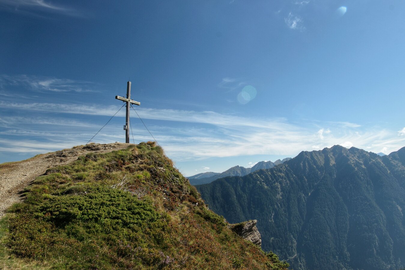
Summit cross on the Guschen | © Erlebnisregion Schladming-Dachstein | Marlene Eggmayr
1/14
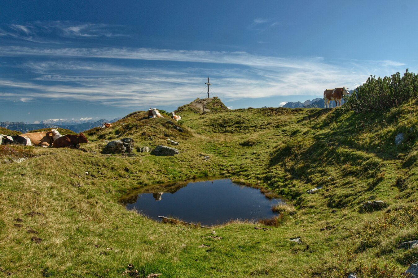
Summit of the Guschen | © Erlebnisregion Schladming-Dachstein | Marlene Eggmayr
2/14
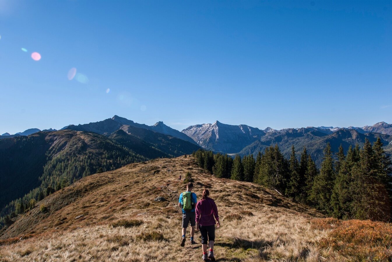
Hiking from Rossfeld towards Guschen, Steirische Kalkspitze in view | © Tourismusverband Schladming | Astrid Meissnitzer
3/14
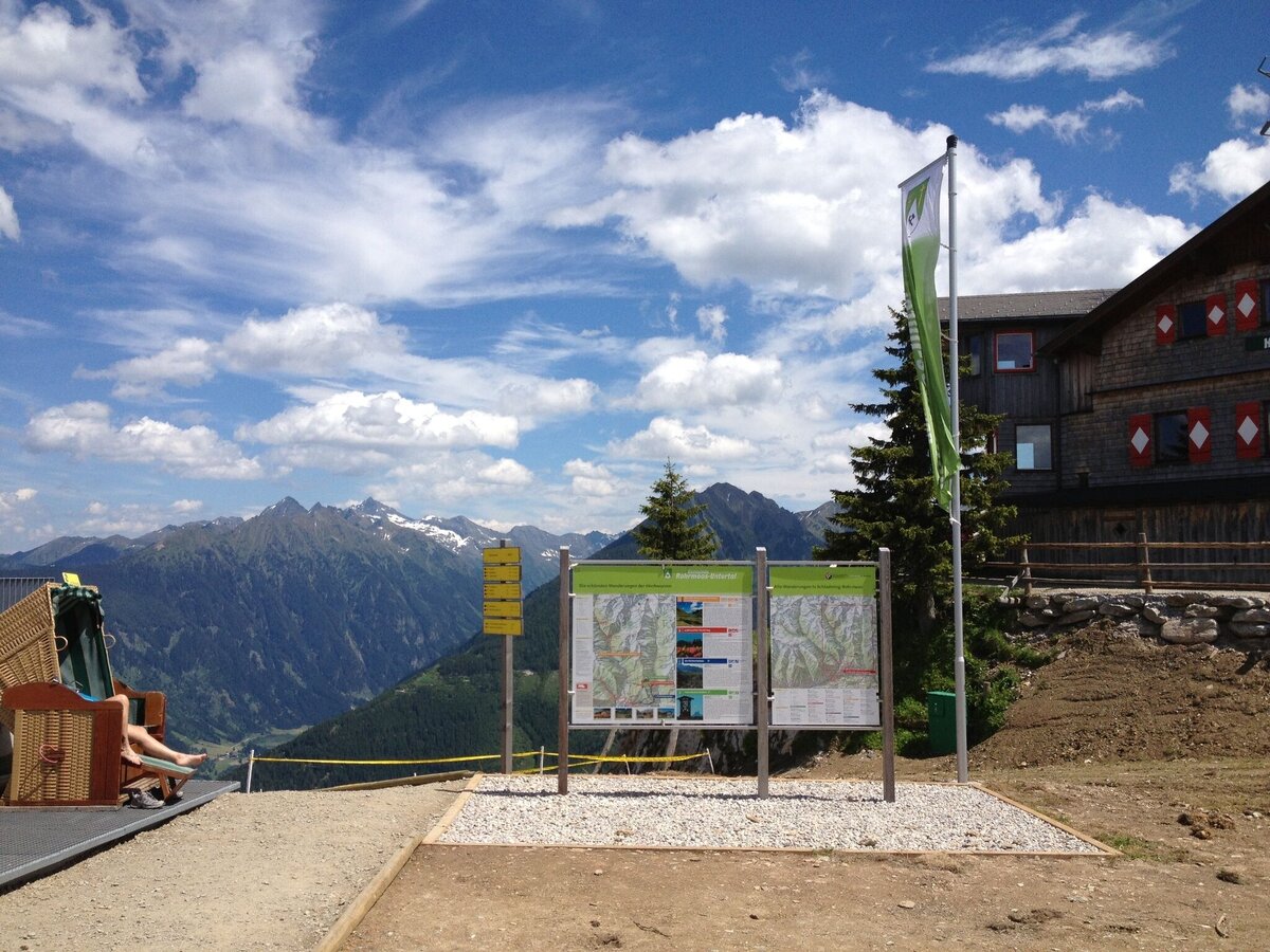
Hiking trail head on Hochwurzen summit | © Tourismusverband Schladming | Gerhard Pilz
4/14
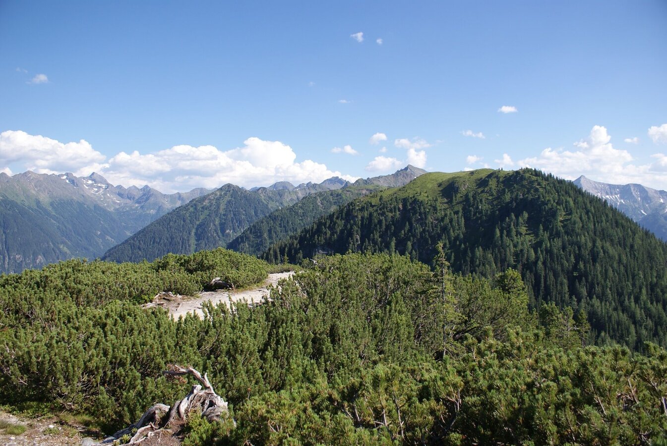
View from Kleine Hochwurzen towards Rossfeld | © Gerhard Pilz | Gerhard Pilz
5/14
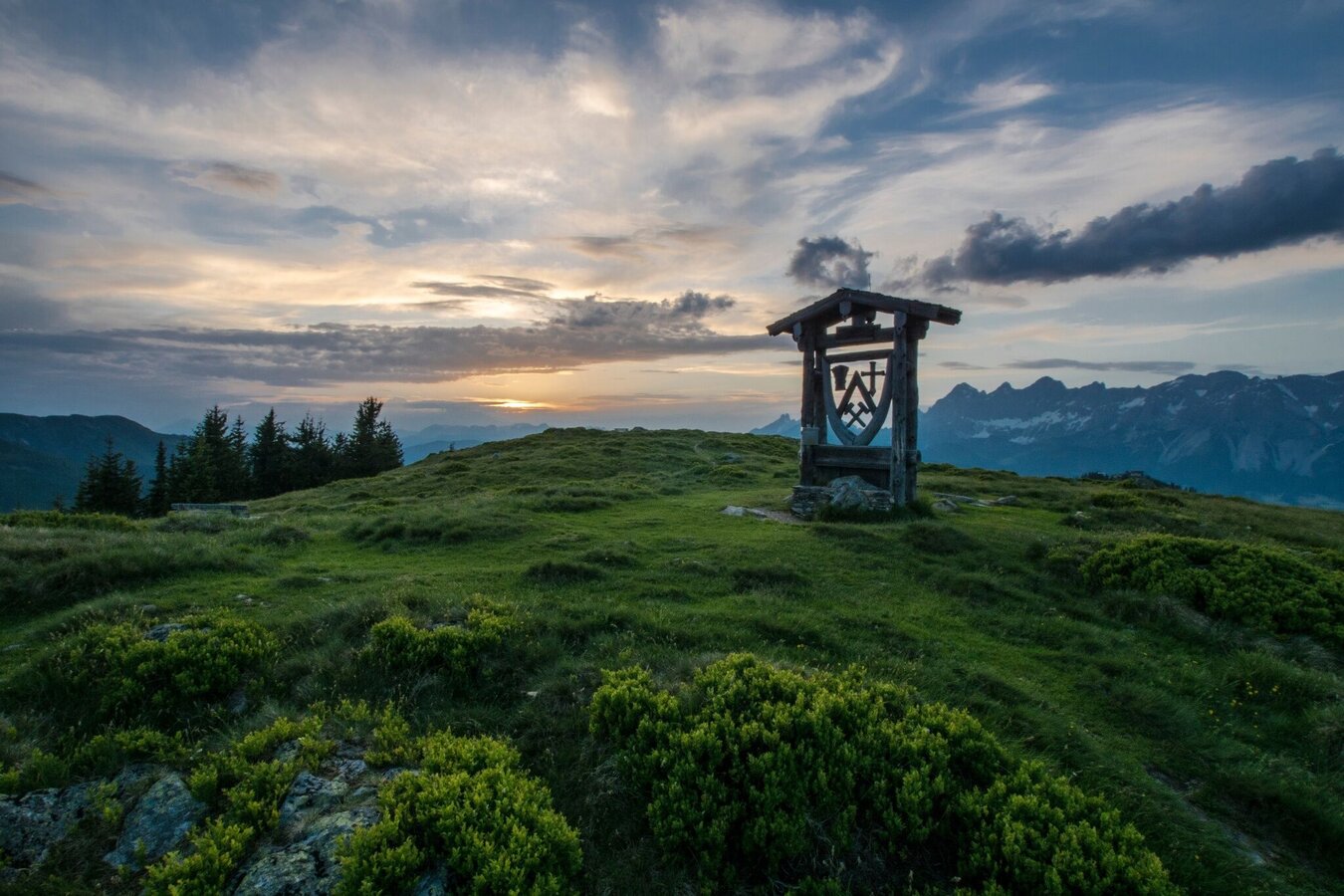
Coat of arms of Rohrmoos-Untertal on the summit of Rossfeld | © Tourismusverband Schladming | Gerhard Pilz
6/14
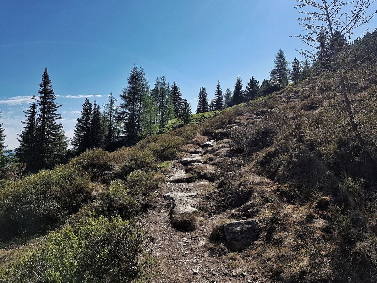
Anstieg zur Guschen vom Latterfußsattel | © Gerhard Pilz | Gerhard Pilz
7/14
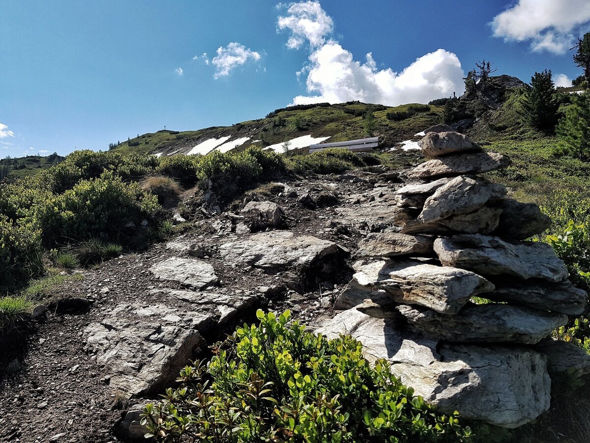
Steinmandl und Bankerl auf dem Weg zur Guschen - das Gipfelkreuz schon in Sicht. | © Erlebnisregion Schladming-Dachstein | Gerhard Pilz
8/14
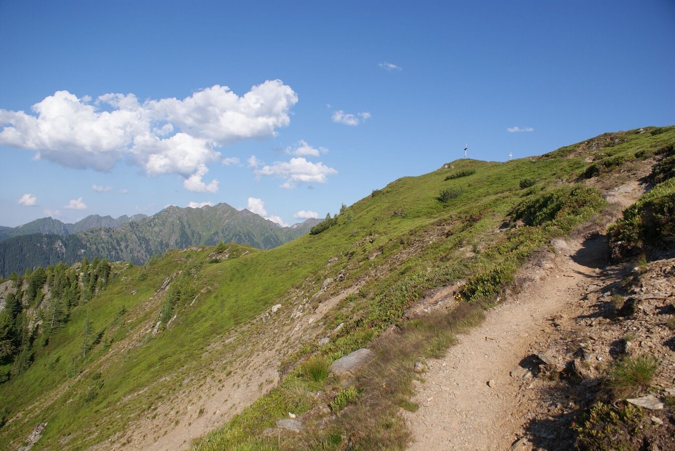
Ascent from Latterfußsattel mountain saddle to Guschen summit | © Gerhard Pilz | Gerhard Pilz
9/14
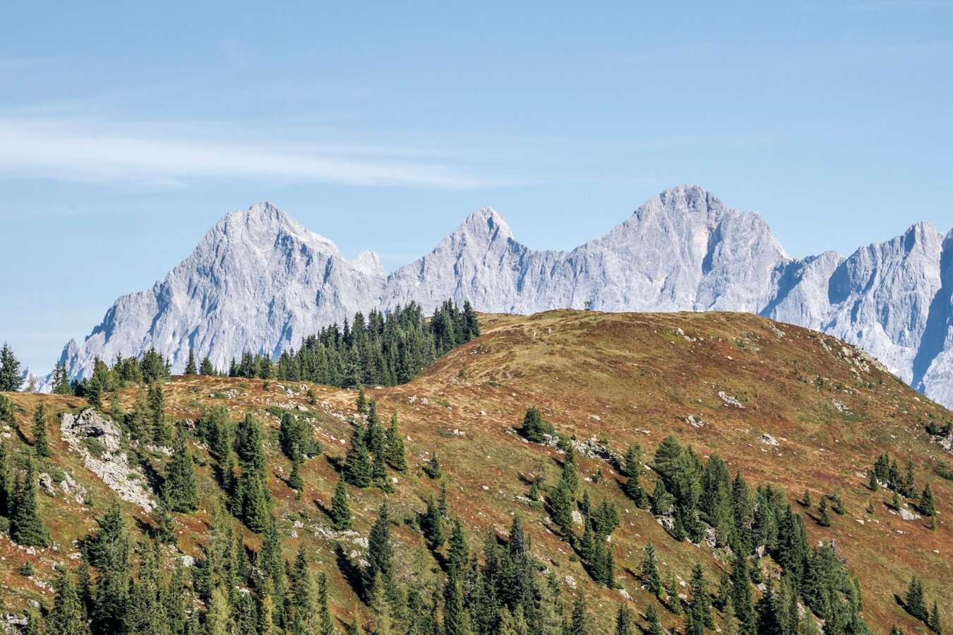
View from Guschen summit to Rossfeld and the Dachstein massif | © Gerhard Pilz | Gerhard Pilz
10/14
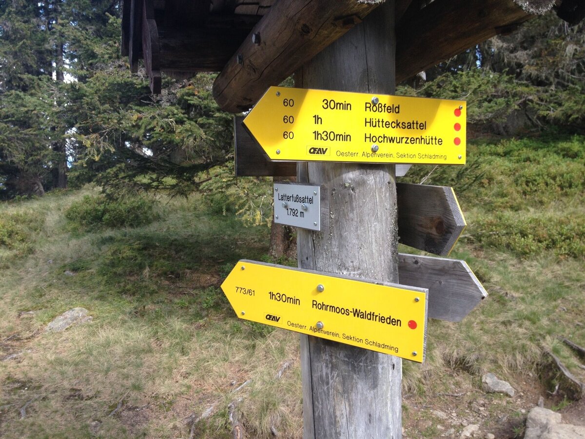
Trail crossing at Latterfußsattel mountain saddle | © Gerhard Pilz | Gerhard Pilz
11/14
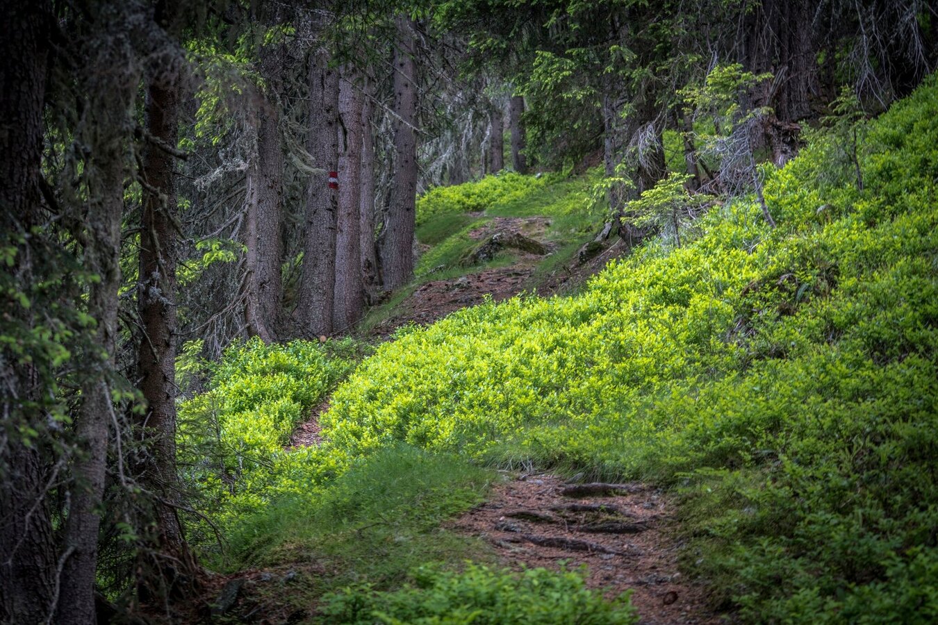
Trail n° 773 from Hüttecksattel mountain saddle | © Gerhard Pilz - www.gpic.at | Gerhard Pilz
12/14
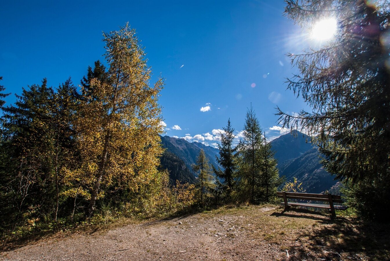
On the way back on trail n° 773 | © Gerhard Pilz - www.gpic.at | Gerhard Pilz
13/14
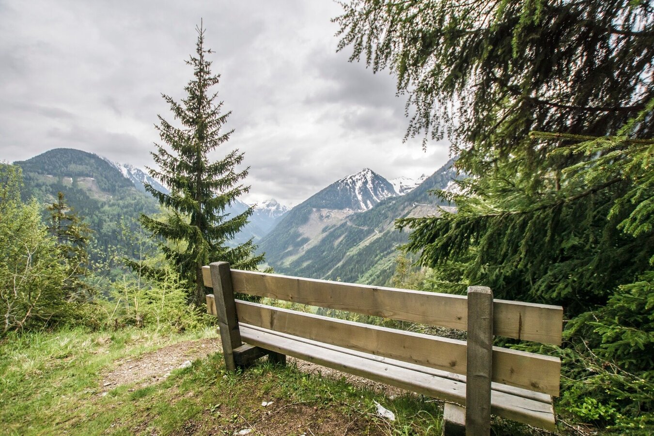
View from the lower situated trail intersection 61/773 towards Obertal | © Gerhard Pilz | Gerhard Pilz
14/14

What the weather will be like Schladming (740m)
Today, 09.10.2026
Morning clouds will clear gradually. Then frequent sunny periods.Morning

7°C
sr.Regenwahrscheinlichkeit
90%
sr.Windstärke
5 km/h
Noon

14°C
sr.Regenwahrscheinlichkeit
15%
sr.Windstärke
5 km/h
Night
10°C
sr.Regenwahrscheinlichkeit
0%
sr.Windstärke
5 km/h
Tomorrow, 10.10.2026
A fair early morning, later increasing cloudiness and frequent showers.Morning
7°C
sr.Regenwahrscheinlichkeit
5%
sr.Windstärke
0 km/h
Noon

13°C
sr.Regenwahrscheinlichkeit
50%
sr.Windstärke
5 km/h
Night

10°C
sr.Regenwahrscheinlichkeit
70%
sr.Windstärke
5 km/h
Forecast
11.10.2026
7°C
14°C
12.10.2026
3°C
13°C
13.10.2026

2°C
14°C
