


Hike to the Gumpenalm
Characteristics
SkillThe tour in numbers
Level of difficulty
easy
Route
8,0 km
Time
2:00 h
Uphill
550 hm
Downhill
550 hm
Highest point
1500 m
Culinary journey to the huts in the Gumpenalm!
Best season
January
February
March
April
May
June
July
August
September
October
November
December
More information
From the A10: turn off at Altenmarkt (exit 63) in the direction of Graz. Follow the B99 to Radstadt. Here take the B320 towards Graz. At Pruggern follow the signs to the nature park.
From the A9: turn off at Selzthal (exit 69) towards Liezen/Radstadt. From Liezen follow the B320 to Espang. There turn towards Niederöblarn/Naturpark Söltäler.
For the hike: In the center of Stein an der Enns turn towards St. Nikolai. After approx. 4.5 km, just before Großsölk, turn left to the Koller farmstead and drive another 2 km up the mountain.
Koller parking lot.
From the A9: turn off at Selzthal (exit 69) towards Liezen/Radstadt. From Liezen follow the B320 to Espang. There turn towards Niederöblarn/Naturpark Söltäler.
For the hike: In the center of Stein an der Enns turn towards St. Nikolai. After approx. 4.5 km, just before Großsölk, turn left to the Koller farmstead and drive another 2 km up the mountain.
Koller parking lot.
The starting point for this hike is Großsölk - the “Koller” estate. From there, a beautiful forest path leads to the “Adambauerhütte” and “Schönwetterhütte”, which are open in summer. The trail continues to the small and rustic “Walchlingerhütte” with a feel-good factor. There you can fortify yourself with delicious desserts and culinary delicacies. The "Ennstaler Steirerkrapfen" with "Steirerkäse", savory and potatoes are a particular highlight. A steep slope takes you to the “Schleinhütte”, a mountain hut built from Sölker marble. Follow the same path back to the Koller farmstead.
Alternatively, you can keep to the right after the Schleinhütte and climb over the Blockfeldspitz to the Gumpeneck!
Weather changes, rapid drop in temperature, thunderstorms, wind, fog and snow fields are objective dangers and require the right behavior on the way. Hut keepers are experienced mountain connoisseurs, they can give good tips on the weather and the course of the trail. Lack of equipment, overestimation of one's own abilities, carelessness, poor physical condition and a wrong assessment can lead to critical situations. During thunderstorms: avoid peaks, ridges and rope belays at all costs.
GPS data and orientation aids: Available GPS data - as well as hiking maps - are only an orientation aid, since they can never represent an exact image or the richness of detail of a path in reality. Especially in the case of danger spots, it must therefore always be decided in the end on the basis of the conditions on site whether and how the further course of the path looks like.
In case of emergency, please dial the following
emergency numbers:
No. 140 - for alpine emergencies - Austria-wide
No. 112 - Euro emergency call GSM emergency call service
Take rainproof and warm clothes and enough water, possibly also a snack, wear shoes with non-slip profile soles. A first aid kit should also be in your backpack.
SummitLynx- Dein digitales Gipfel- und
Hüttenbuch – weltweit verfügbar und immer dabei!
A geological hiking guide can be purchased at the nature park office, which describes a special geological situation in the Gumpenkar using stations! You can also scan the QR code at the 1st station and download the brochure.
Arrival at Stein/Enns train station with ÖBB.
Cab Stefan Mayer: +43 676 54 09 858
Valley bus from July 11 to September 13, 2026 - this makes crossings in the Sölktäler Nature Park possible. You can also travel comfortably by train and the valley bus will take you to the starting point of your hike. Click here for the timetable.
Mountain guides from the region: www.schladming-dachstein.at/mountainguides
For more information, please contact the Schladming Dachstein Tourist Office - Sölktäler Nature Park Information Center:
Phone: +43 3687 23310 501
mailto:info@schladming-dachstein.at
Stein an der Enns 107
8961 Sölk
The brochure “Schladming-Dachstein Hiking” is available in all information offices in the region.
Map & downloads
Gallery
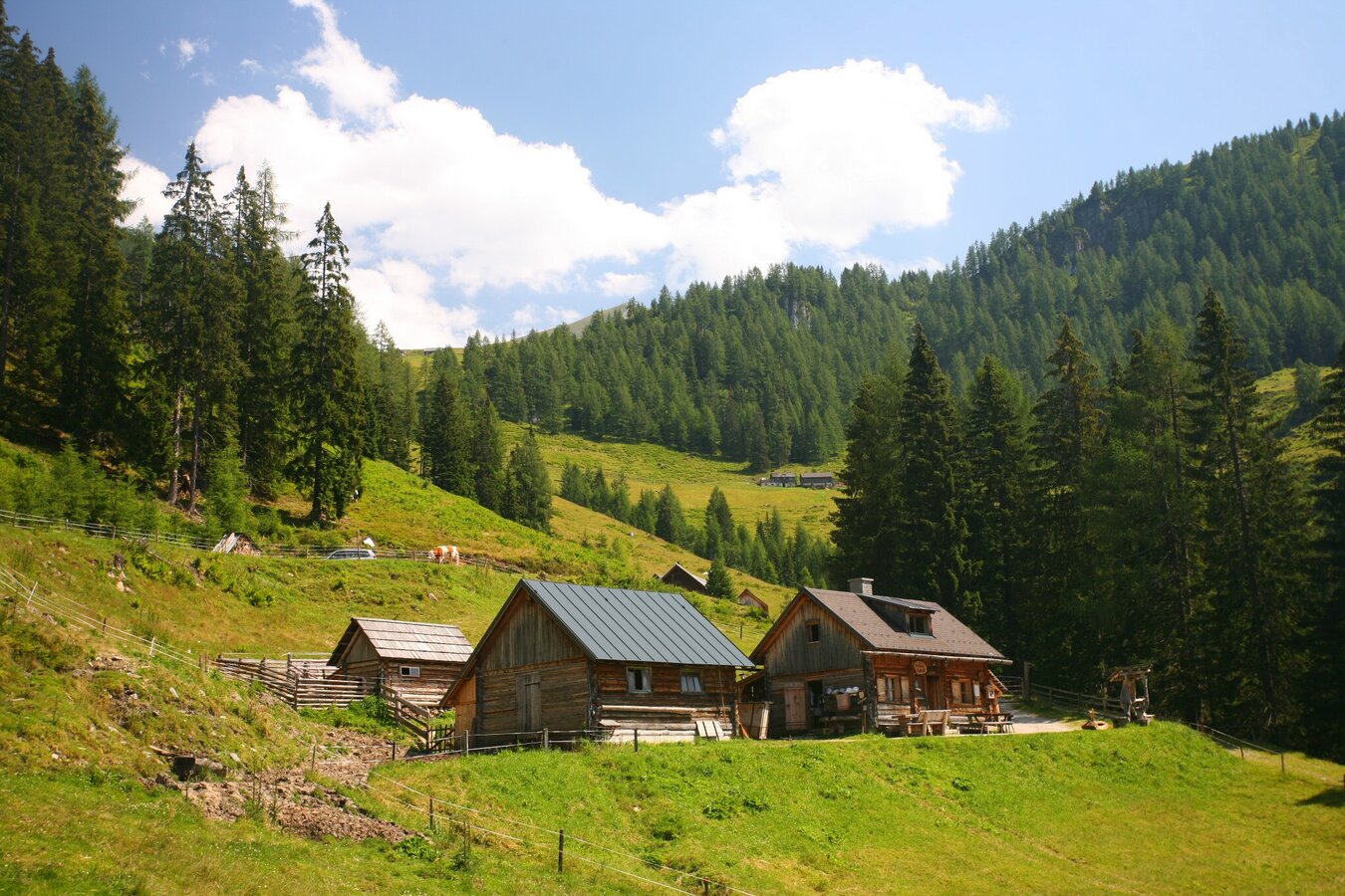
Adambaueralm with alpine huts
1/9
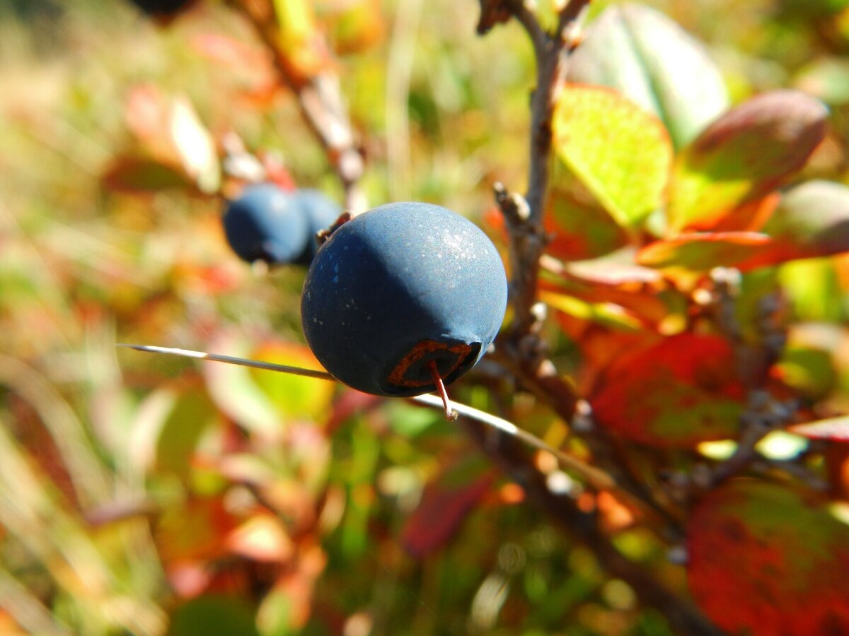
Schwarzbeere im Gumpenkar | © Erlebnisregion Schladming-Dachstein | Schladming Dachstein
2/9
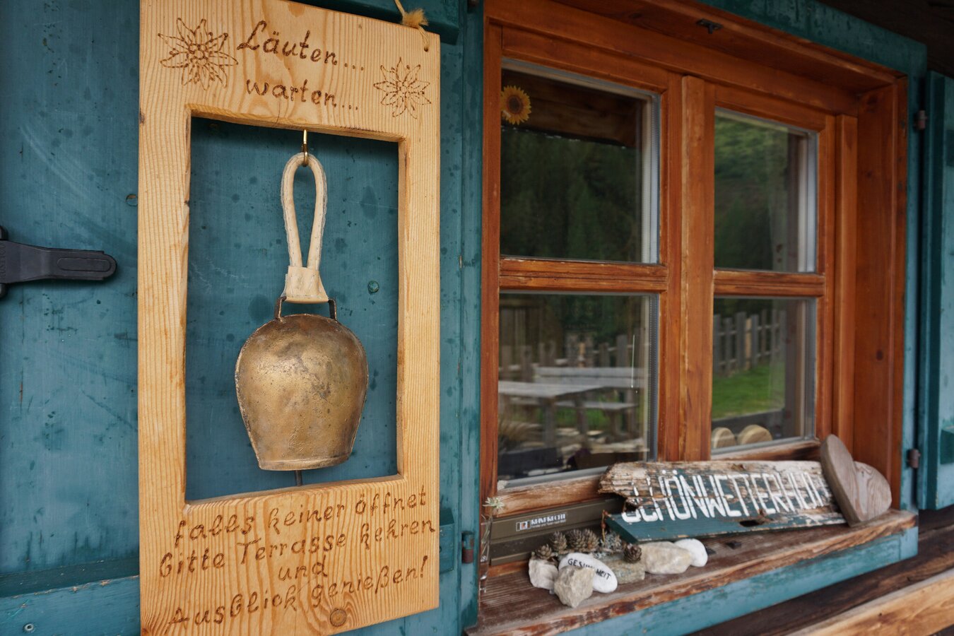
Bell at the Gumpenalm
3/9
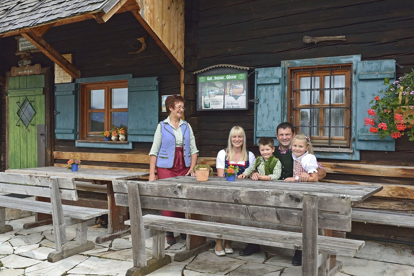
Family in front of the Gumpenalm
4/9
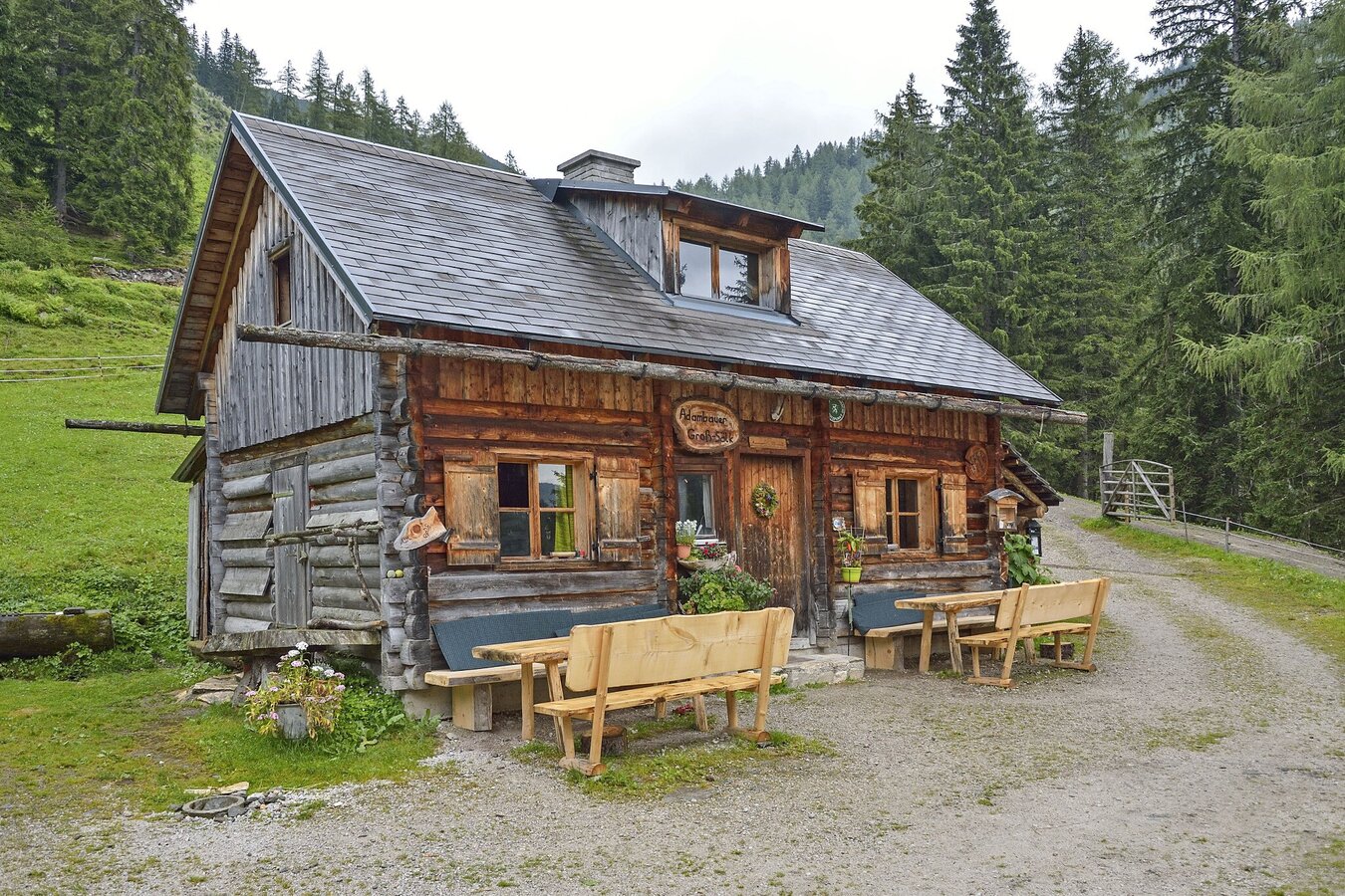
Gumpenalm Adambauer Hütte
5/9
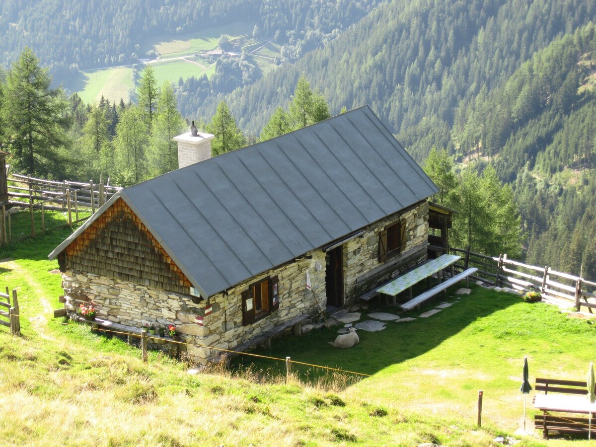
The Schleinhütte on the mountainside
6/9
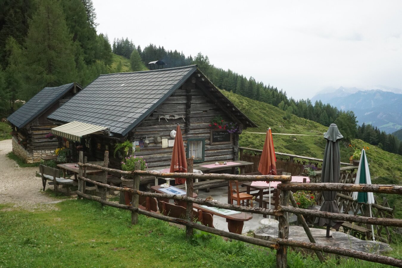
Gumpenalm with terrace
7/9
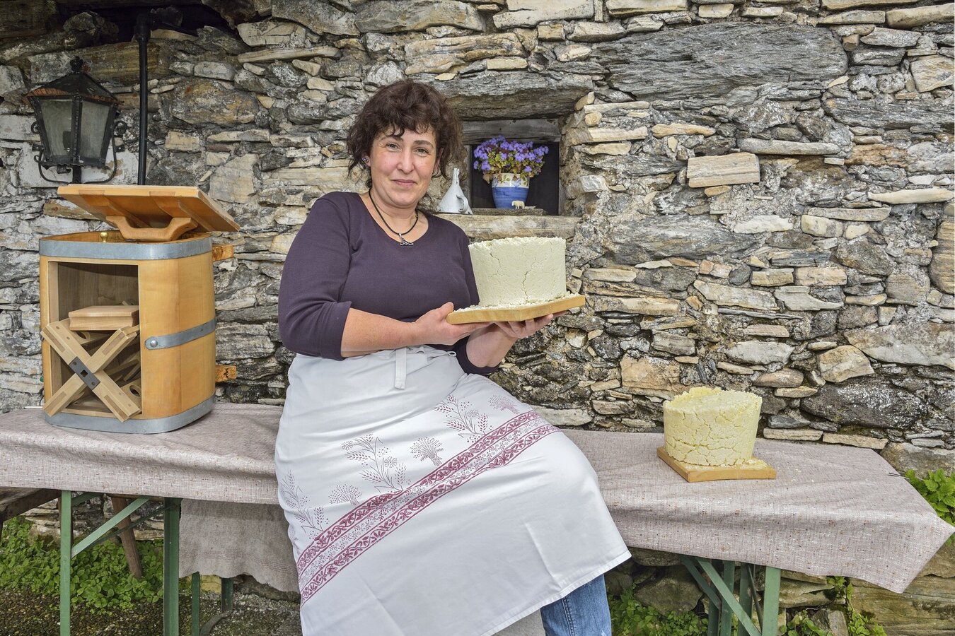
Cheese production on the alpine pasture
8/9
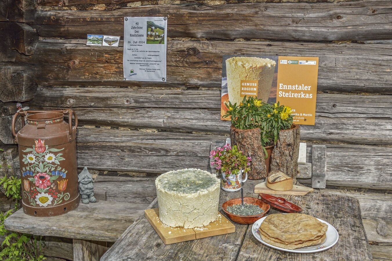
Ennstaler Steirerkas at the Gumpenalm
9/9

What the weather will be like Sölk (668m)
Today, 23.10.2026
The day starts sunny, but will be partly cloudy in the afternoon.Morning

1°C
sr.Regenwahrscheinlichkeit
0%
sr.Windstärke
5 km/h
Noon

10°C
sr.Regenwahrscheinlichkeit
0%
sr.Windstärke
5 km/h
Night
6°C
sr.Regenwahrscheinlichkeit
5%
sr.Windstärke
5 km/h
Tomorrow, 24.10.2026
Rainfall will end around noon, then the clouds will break up.Morning

4°C
sr.Regenwahrscheinlichkeit
85%
sr.Windstärke
5 km/h
Noon

7°C
sr.Regenwahrscheinlichkeit
75%
sr.Windstärke
5 km/h
Night
4°C
sr.Regenwahrscheinlichkeit
40%
sr.Windstärke
5 km/h
Forecast
25.10.2026
-1°C
9°C
26.10.2026

2°C
12°C
27.10.2026
0°C
15°C
