


Hemma Pilgrimage Route Admont
Characteristics
SkillThe tour in numbers
Level of difficulty
challenging
Route
186,7 km
Time
59:00 h
Uphill
6050 hm
Downhill
6018 hm
Highest point
1979 m
St. Hemma was born around 980 as Countess of Friesach-Zeltschach; charity and philanthropy made her well-known among the population. With her wealth, she also founded the Benedictine monasteries of Gurk and Admont. The latter houses the largest monastery library in the world - and is always worth a visit.
Not all of the Styrian pilgrimages have Mariazell as their destination. Here, we show you another variant to gain new strength, inspiration and become one with yourself and God's beautiful nature. Starting from Admont Abbey, the Hemma Pilgrimage Trail leads to Gurk in Carinthia, where St. Hemma is buried in the cathedral crypt. Her veneration goes back to a centuries-old tradition in Carinthia, Styria and Slovenia. She was born around 980 as the Countess of Friesach-Zeltschach, and her charity and philanthropy made her well-known among the population.
Best season
January
February
March
April
May
June
July
August
September
October
November
December
More information
Detailed information on how to get to Admont can be found here.
Free parking is available in the centre of Admont – west of the town hall and tourist information office – as well as at Admont railway station.
From Admont, the salt trail leads via Zirnitz to the church of Frauenberg, which is enthroned above the Enns. The tour continues via Selzthal and in the face of Strechau Castle to Lassing. Next stops are Irdning, Winklern and the Kalvarienberg. Hiking trail no. 4 then leads us to Donnersbach at the foot of the Planneralm and on to Donnersbachwald at the foot of the Riesneralm.
From the idyllically situated village of Donnersbachwald, the trail leads us further to the Glattjoch Chapel. Here, at the highest point of the pilgrimage trail at 1,988 metres, a wide panoramic view of the magnificent mountain world of the Tauern opens up. This "primeval path" over the Glattjoch was once used by the muleteers. They are considered the first transporters of salt and wine across the Alps. Now, the trail heads downhill via the Schöttlkapelle chapel to Oberwölz. From here, the trail continues on to Butterer Kreuz on the Kammersberger Höhe and then downhill to St. Peter am Kammersberg.
Via the Stolzenhütte, we heads to the Stolzalpen peak and then descend to Murau, a small historic town. Next stop: St. Lambrecht in the Zirbitzkogel-Grebenzen Nature Park with its beautiful monastery. From here, we head uphill towards Lake Auerling and the Carinthian border and on to Ingolsthal and Metnitz. Via the pilgrimage church of St. Wolfgang and St. Peter ob Gurk, we head to Gurk, our destination.
Emergency call mountain rescue: 140
Tips when reporting an emergency – Answer these six WH questions: What happened? How many people are injured? Where did the accident happen (are there GPS coordinates)? Who is reporting the incident (callback number)? When did the accident happen? What is the weather like at the site of the incident?
Proper backpack packing makes many things easier: Pack heavy things first. The water bottle should always be within reach in a side pocket. All the things that are often needed, such as sunglasses, camera or hiking map, belong on top. An emergency kit, including blister plasters, belongs in every rucksack and it is always advisable to dress in layers.Accessible by
train and bus: detailed information about arriving by ÖBB (Austrian Federal
Railways) can be found at www.oebb.at or
on the Verbundlinie Steiermark website www.busbahnbim.at
With
Verbundlinie’s BusBahnBim route planner app, planning your journey
has never been easier: simply enter towns and/or addresses, stop names or
points of interest to check all bus, train and tram connections in Austria. The
app is available free of charge for smartphones – on Google Play and in the App
Store
Steiermark Tourismus
Tel. +43 316 4003
info@steiermark.com
If you would like to hire a tour operator, simply book with Steiermark Touristik, the official travel agency of Steiermark Tourismus:
Tel. +43 316 4003 450
The Steiermark Touren app, available free of charge on Google Play and the App Store (Android, iOS), offers detailed first-hand information: brief facts (length, duration, difficulty, ascent and descent/elevation gain, ratings), map, route descriptions, altimeter, compass, peak finder, navigation along the tour. You can also create your own personal lists of favourite tours and sites, store tours and destinations offline, use social media channels, and much more.
Monika Gschwandner-Elkins: Hemma Pilgerwege, ARGE Pilgern in Kärnten, 9020 Klagenfurt, Freytag&Berndt und Artaria KG, 2008Map & downloads
Gallery
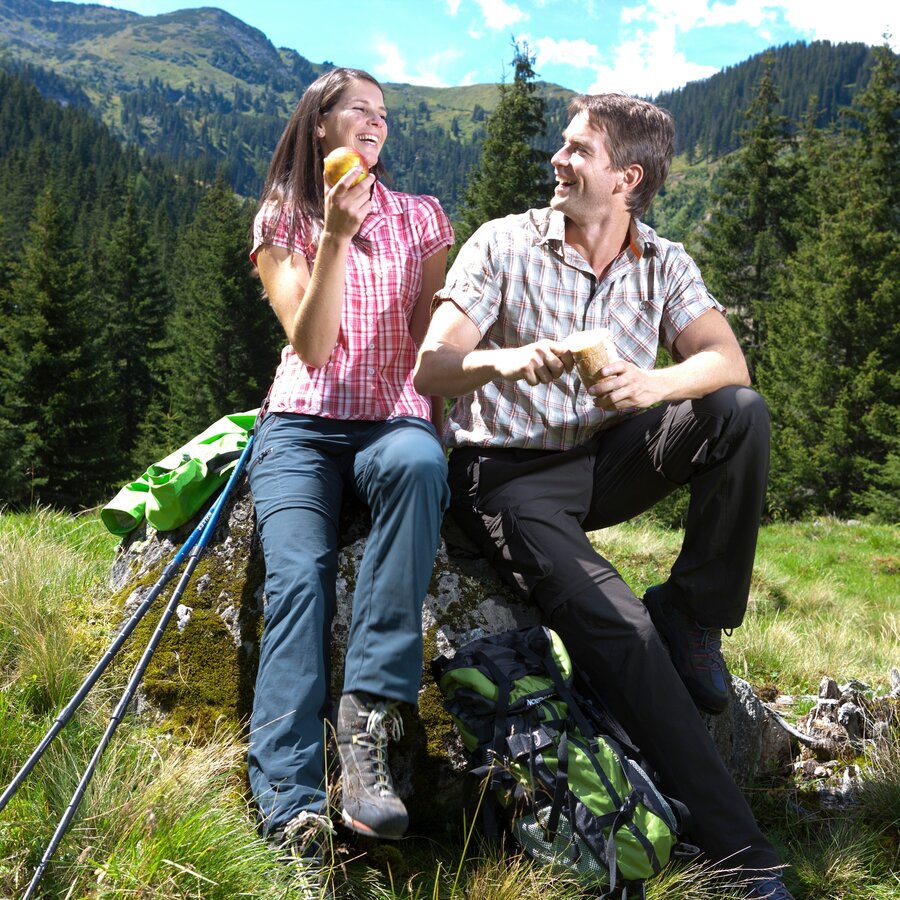
Rast in den Tauern | © Steiermark Tourismus | Harry Schiffer
1/8
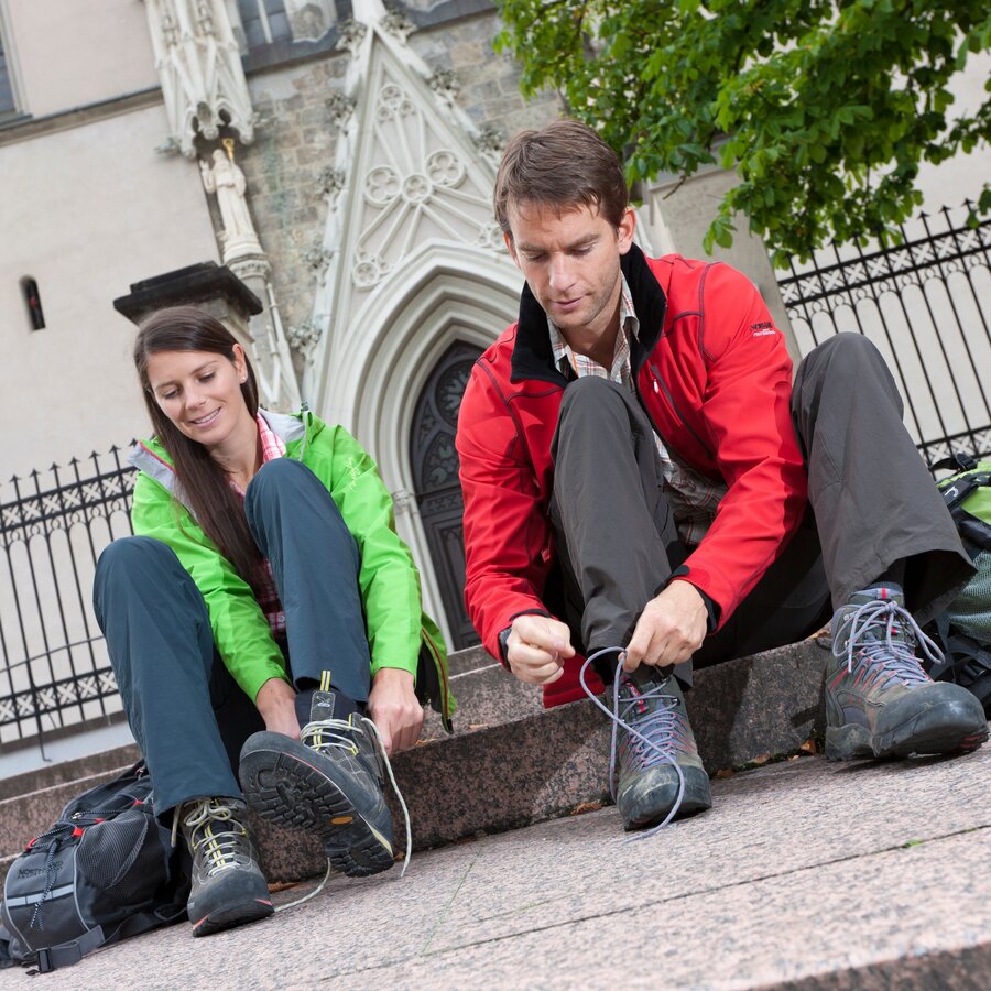
Start in Admont | © Steiermark Tourismus | Harry Schiffer
2/8
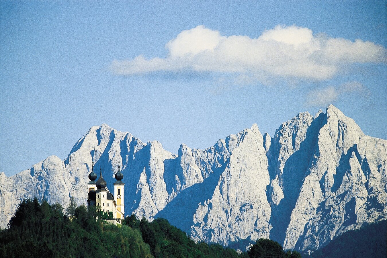
Blick auf die Frauenkirche knapp vor Admont | © Steiermark Tourismus | Reinhard Lamm
3/8
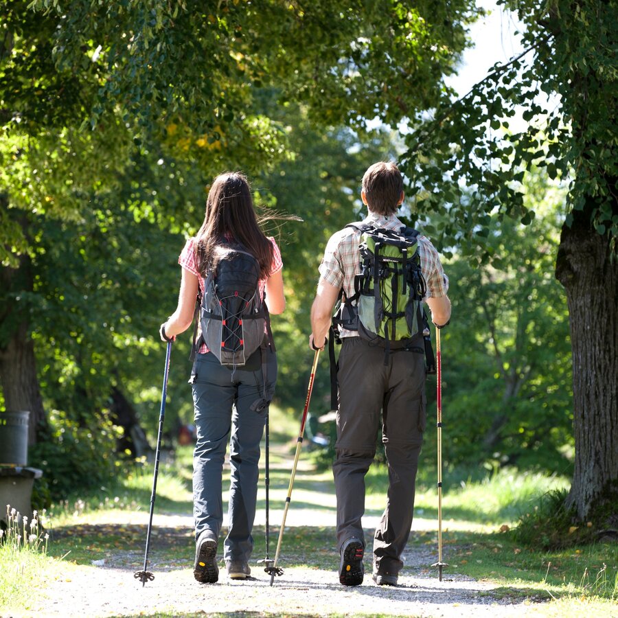
Unterwegs im Ennstal | © Steiermark Tourismus | Harry Schiffer
4/8
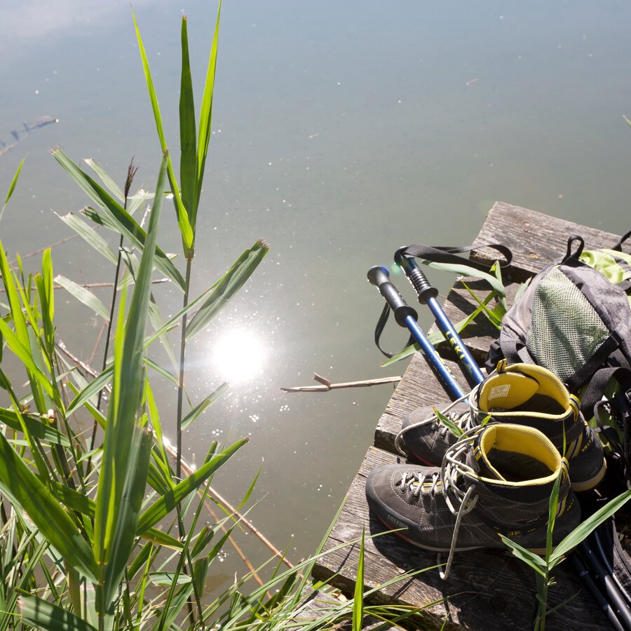
Steirisches Pilger-Stilleben | © Steiermark Tourismus | Harry Schiffer
5/8
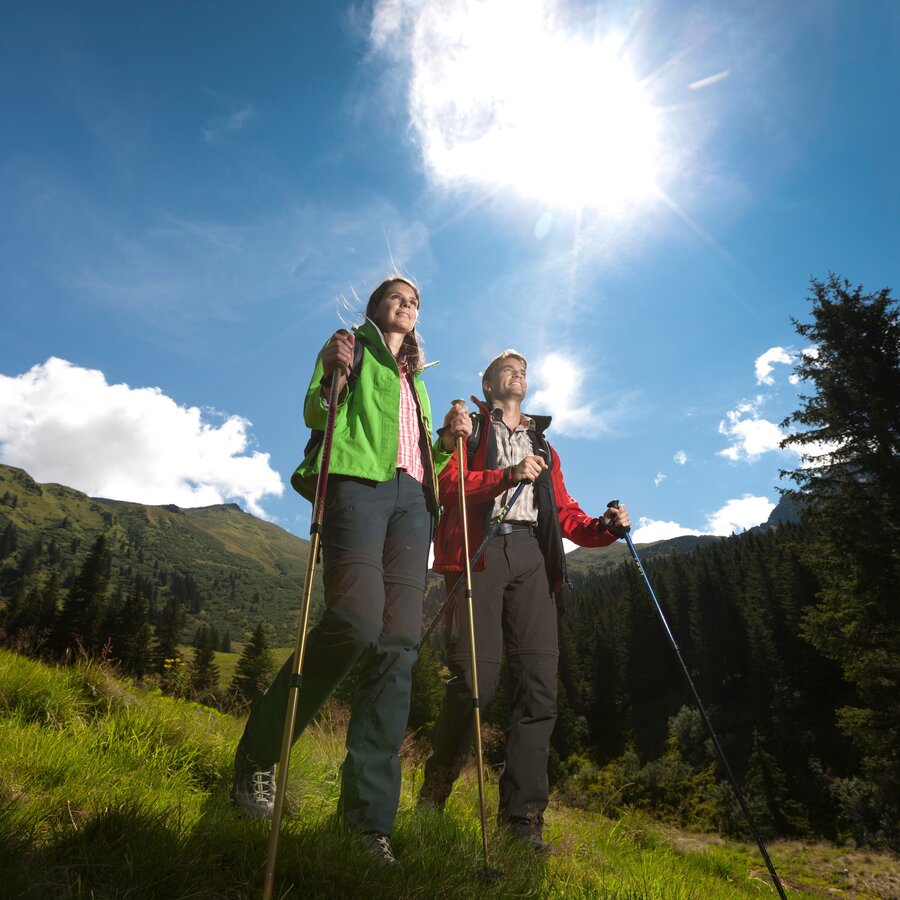
Im Donnersbachtal | © Steiermark Tourismus | Harry Schiffer
6/8
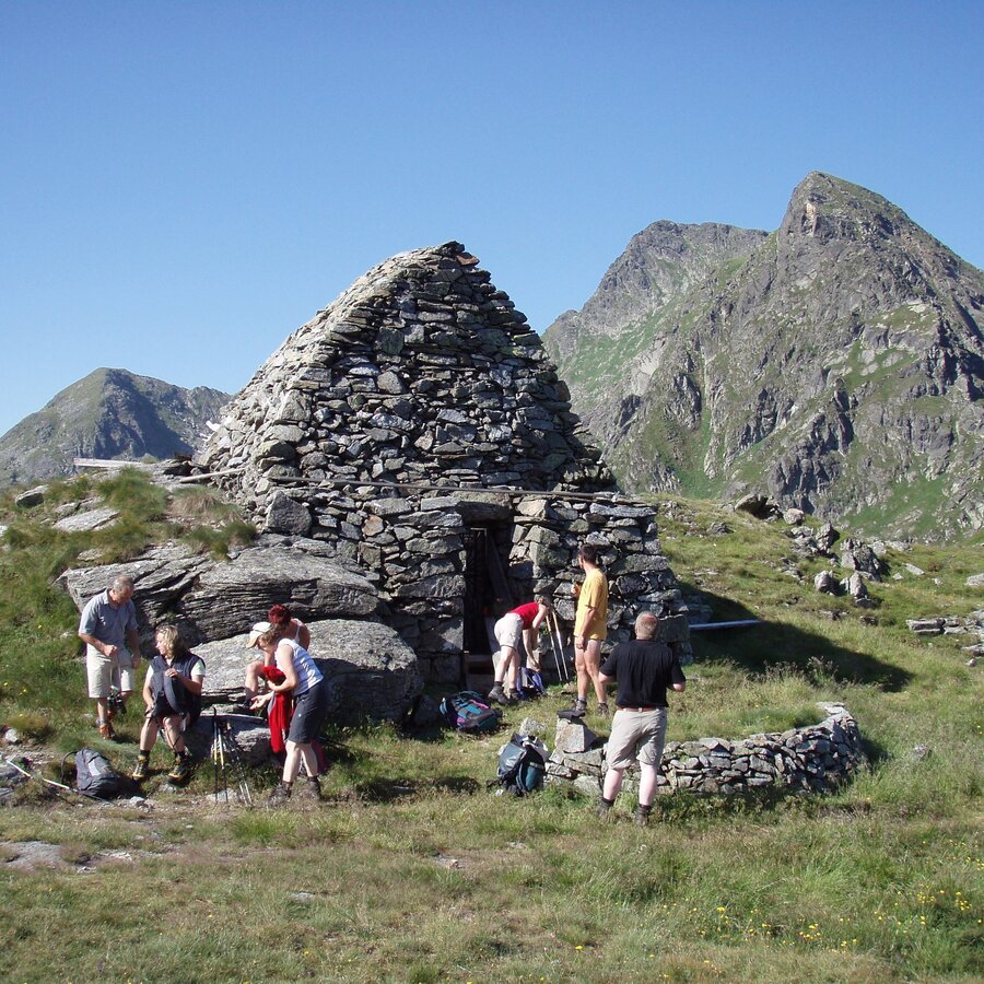
Glattjochkapelle | © Gemeinde Oberwölz
7/8
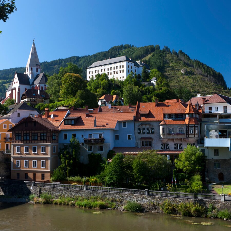
Schloss Murau | © Steiermark Tourismus | Martin Kubanek
8/8

What the weather will be like Admont (635m)
Today, 24.09.2026
Mostly cloudy through the day with a little sunshine and frequent rain.Morning

8°C
sr.Regenwahrscheinlichkeit
0%
sr.Windstärke
5 km/h
Noon

13°C
sr.Regenwahrscheinlichkeit
80%
sr.Windstärke
5 km/h
Night

9°C
sr.Regenwahrscheinlichkeit
85%
sr.Windstärke
5 km/h
Tomorrow, 25.09.2026
Dry and partly sunny throughout the day, with cloudy periods from time to time.Morning

7°C
sr.Regenwahrscheinlichkeit
10%
sr.Windstärke
0 km/h
Noon
16°C
sr.Regenwahrscheinlichkeit
5%
sr.Windstärke
5 km/h
Night
10°C
sr.Regenwahrscheinlichkeit
0%
sr.Windstärke
0 km/h
Forecast
26.09.2026

4°C
21°C
27.09.2026
4°C
23°C
28.09.2026
6°C
24°C
