


Große Niederöblarner Runde
Accessible by public transport- Train (within 15 minutes walking distance from starting point)
Characteristics
SkillThe tour in numbers
Level of difficulty
easy
Route
4,4 km
Time
1:20 h
Uphill
140 hm
Downhill
140 hm
Highest point
806 m
This hike guarantees unique views of the Grimming and the upper Ennstal.
This circular hike leads from Gasthof Grimmingtor via Zamberg and Gritschenberg back to the starting point. Magnificent views guaranteed.
Best season
January
February
March
April
May
June
July
August
September
October
November
December
More information
From the A10: at Altenmarkt (exit 63) turn towards Graz. Follow the B99 to Radstadt. Here, take the B320 towards Graz. At Pruggern, follow the signs towards Öblarn - continue to Niederöblarn and at the entrance to the village turn right into the village and use the parking facilities at Gasthof Grimmingtor.
From the A9: at Selzthal (exit 69) turn towards Liezen/Radstadt. From Liezen, follow the B320 to Espang. Turn there towards Öblarn. At the entrance to Niederöblarn, turn left into the village. Continue to the chapel and use the parking spaces at Gasthof Grimmingtor.
Parking lot at Gasthof Grimmingtor.
Starting from Gasthof Grimmingtor, you hike towards Niederöblarner Graben before the trail leads uphill to the left via Zamberg. After passing the farmsteads at Zamberg, continue hiking towards the Gritschenberg junction. From here, the path leads downhill, offering magnificent views of the Grimming and the upper Ennstal valley. Once at the valley floor, follow the R7 Ennsradweg back to the starting point.
Sudden changes in weather, rapid drops in temperature, thunderstorms, wind, fog, and snowfields are objective hazards and require correct behavior while on the move.
Lack of equipment, overestimating one's abilities, carelessness, poor physical condition, and incorrect assessment can lead to critical situations. During thunderstorms: strictly avoid peaks, ridges, and fixed rope sections.
GPS data and orientation aids: Available GPS data – like hiking maps – are only an orientation aid, as they can never provide an exact image or the level of detail of a path in reality. Especially at danger spots, the final decision on if and how to proceed must always be made based on the actual conditions on-site.
In case of emergency, please dial the following emergency numbers:
Number 140 - for alpine emergencies - Austria-wide
Number 112 - Euro emergency call GSM emergency service
Take rainproof and warm clothing and enough water, possibly also a snack, and wear shoes with non-slip tread soles. A first aid kit should also be in your backpack.
Lack of equipment, overestimating one's abilities, carelessness, poor physical condition, and incorrect assessment can lead to critical situations. During thunderstorms: strictly avoid peaks, ridges, and fixed rope sections.
GPS data and orientation aids: Available GPS data – like hiking maps – are only an orientation aid, as they can never provide an exact image or the level of detail of a path in reality. Especially at danger spots, the final decision on if and how to proceed must always be made based on the actual conditions on-site.
In case of emergency, please dial the following emergency numbers:
Number 140 - for alpine emergencies - Austria-wide
Number 112 - Euro emergency call GSM emergency service
Take rainproof and warm clothing and enough water, possibly also a snack, and wear shoes with non-slip tread soles. A first aid kit should also be in your backpack.
Refreshment stop at Gasthof Grimmingtor in Niederöblarn.
Further information is available at the Schladming Dachstein Tourism Association - Nature Park Sölktäler Information Office:
Phone: +43 3687 23310 501
info@schladming-dachstein.at
Stein an der Enns 107
8961 Sölk
The "Schladming-Dachstein Hiking" brochure is available at all information offices in the region.
Phone: +43 3687 23310 501
info@schladming-dachstein.at
Stein an der Enns 107
8961 Sölk
The "Schladming-Dachstein Hiking" brochure is available at all information offices in the region.
Map & downloads
Gallery
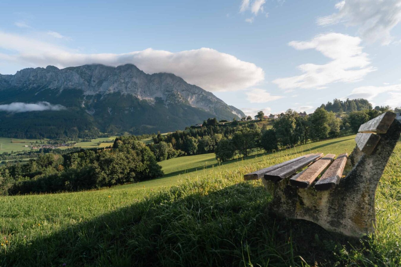
Rest area Große Niederöblarner Runde | © Tourismusverband Schladming-Dachstein | Christoph Lukas
1/27
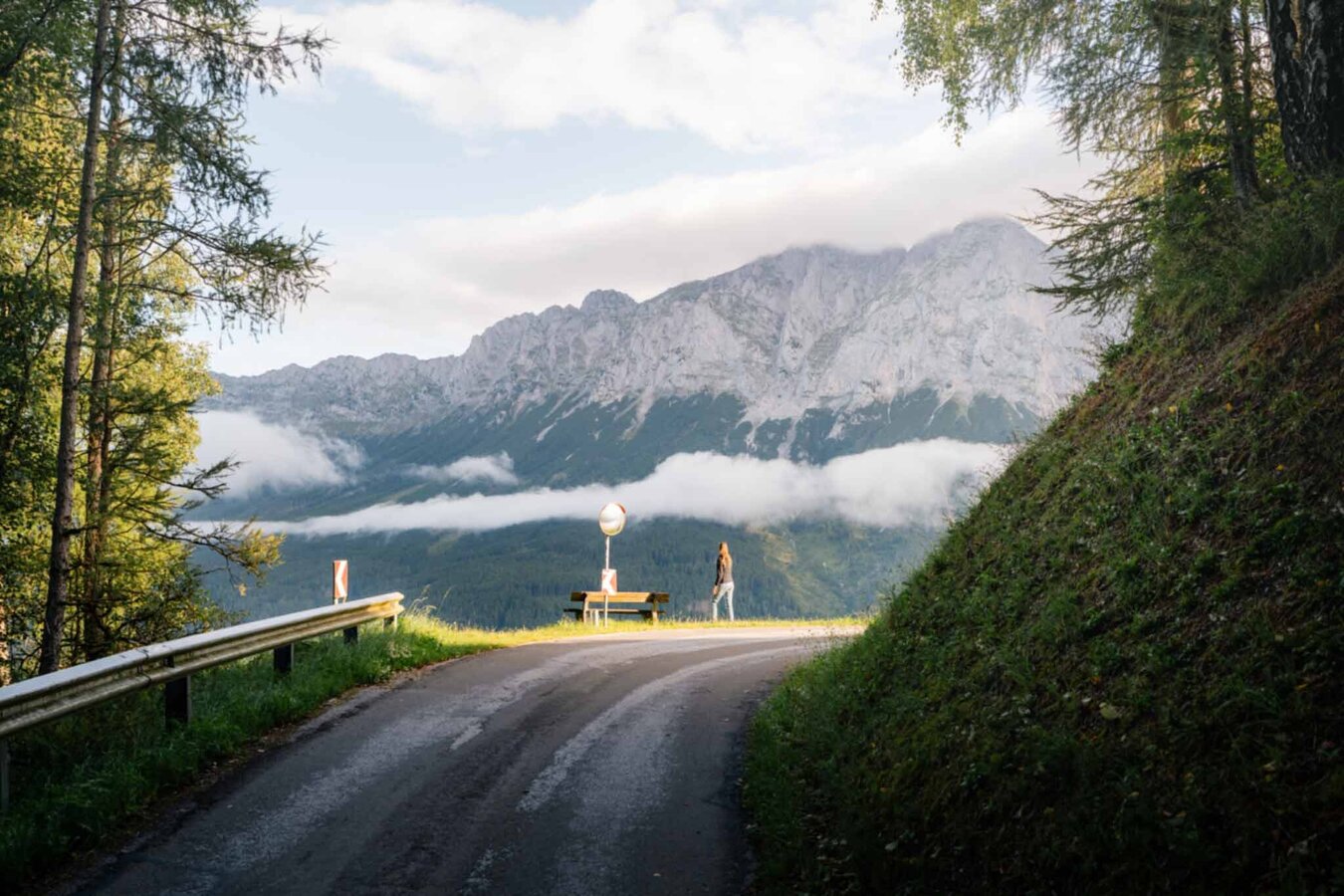
Große Niederöblarner Runde | © Tourismusverband Schladming-Dachstein | Christoph Lukas
2/27
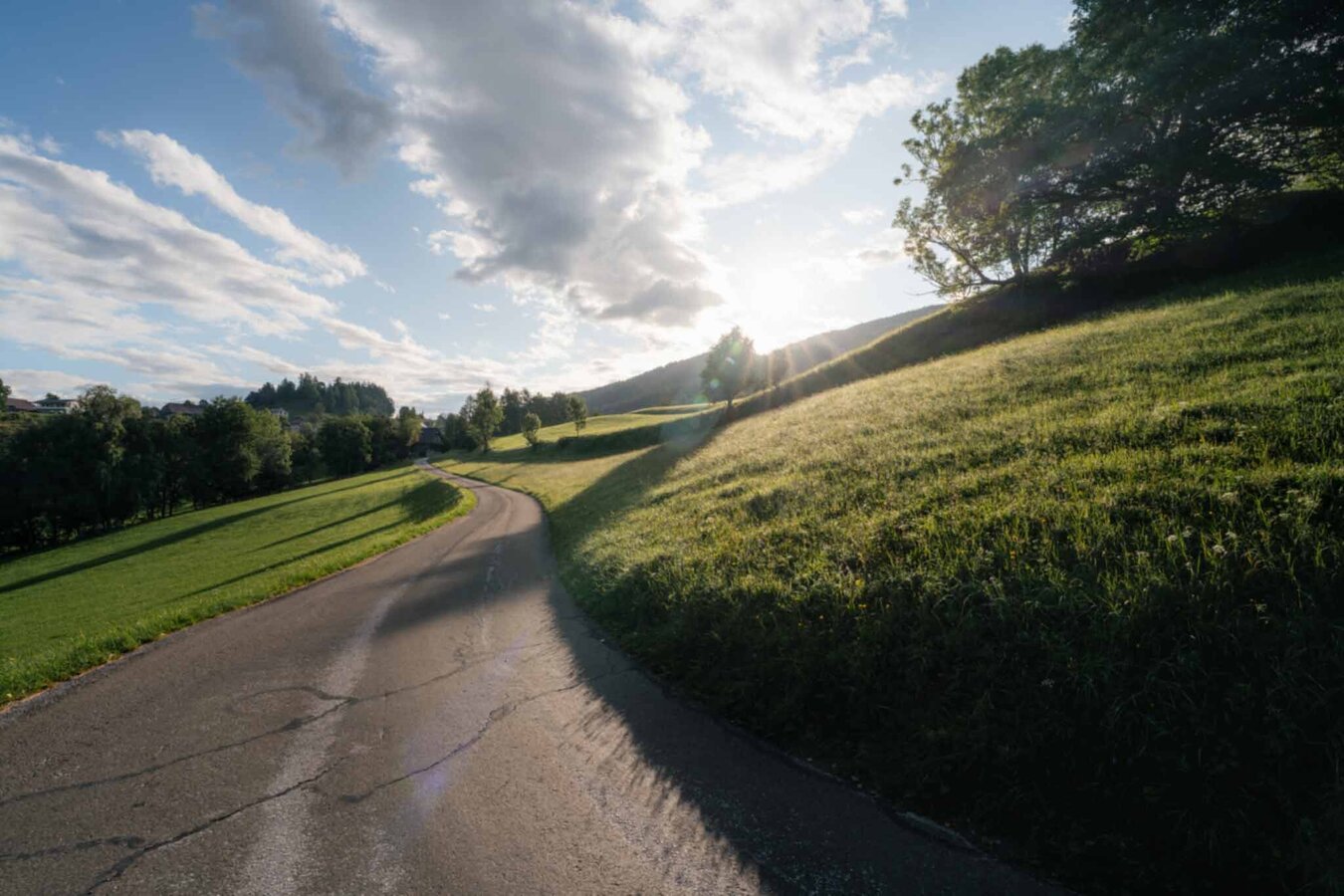
Große Niederöblarner Runde | © Tourismusverband Schladming-Dachstein | Christoph Lukas
3/27
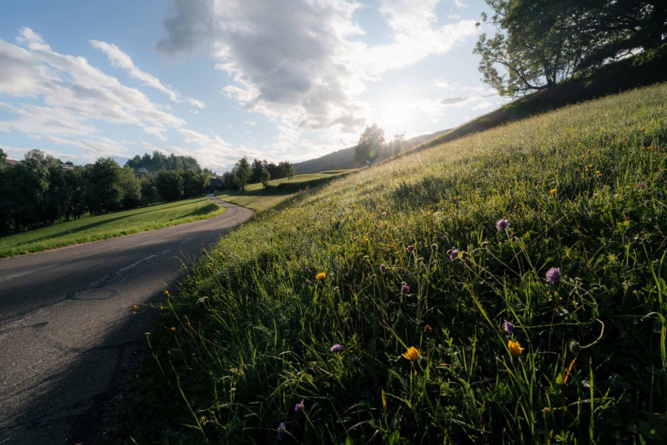
Große Niederöblarner Runde | © Tourismusverband Schladming-Dachstein | Christoph Lukas
4/27
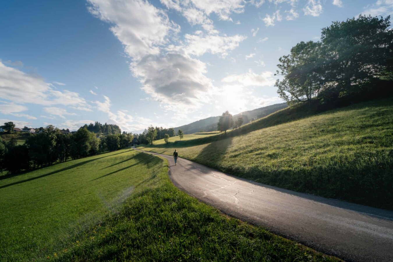
Große Niederöblarner Runde | © Tourismusverband Schladming-Dachstein | Christoph Lukas
5/27
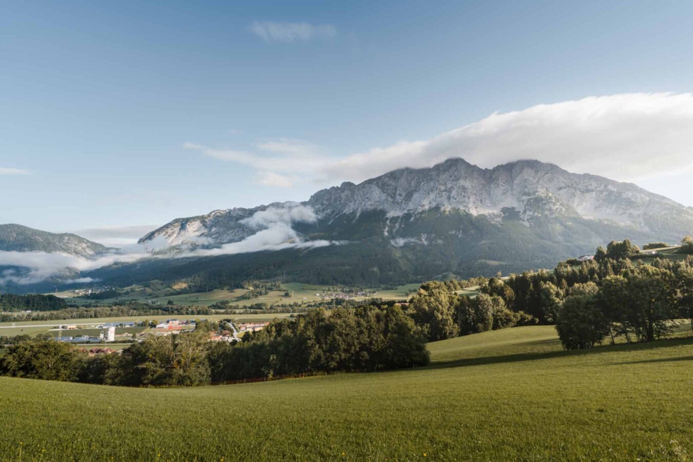
Große Niederöblarner Runde | © Tourismusverband Schladming-Dachstein | Christoph Lukas
6/27
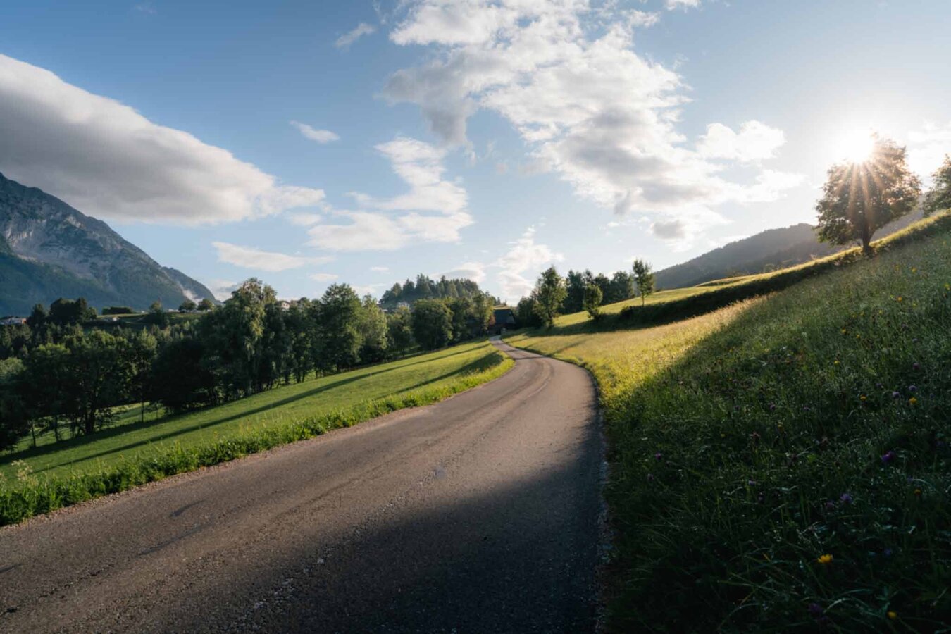
Große Niederöblarner Runde | © Tourismusverband Schladming-Dachstein | Christoph Lukas
7/27
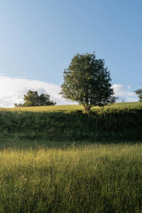
Tree on the Niederöblarner Runde | © Tourismusverband Schladming-Dachstein | Christoph Lukas
8/27
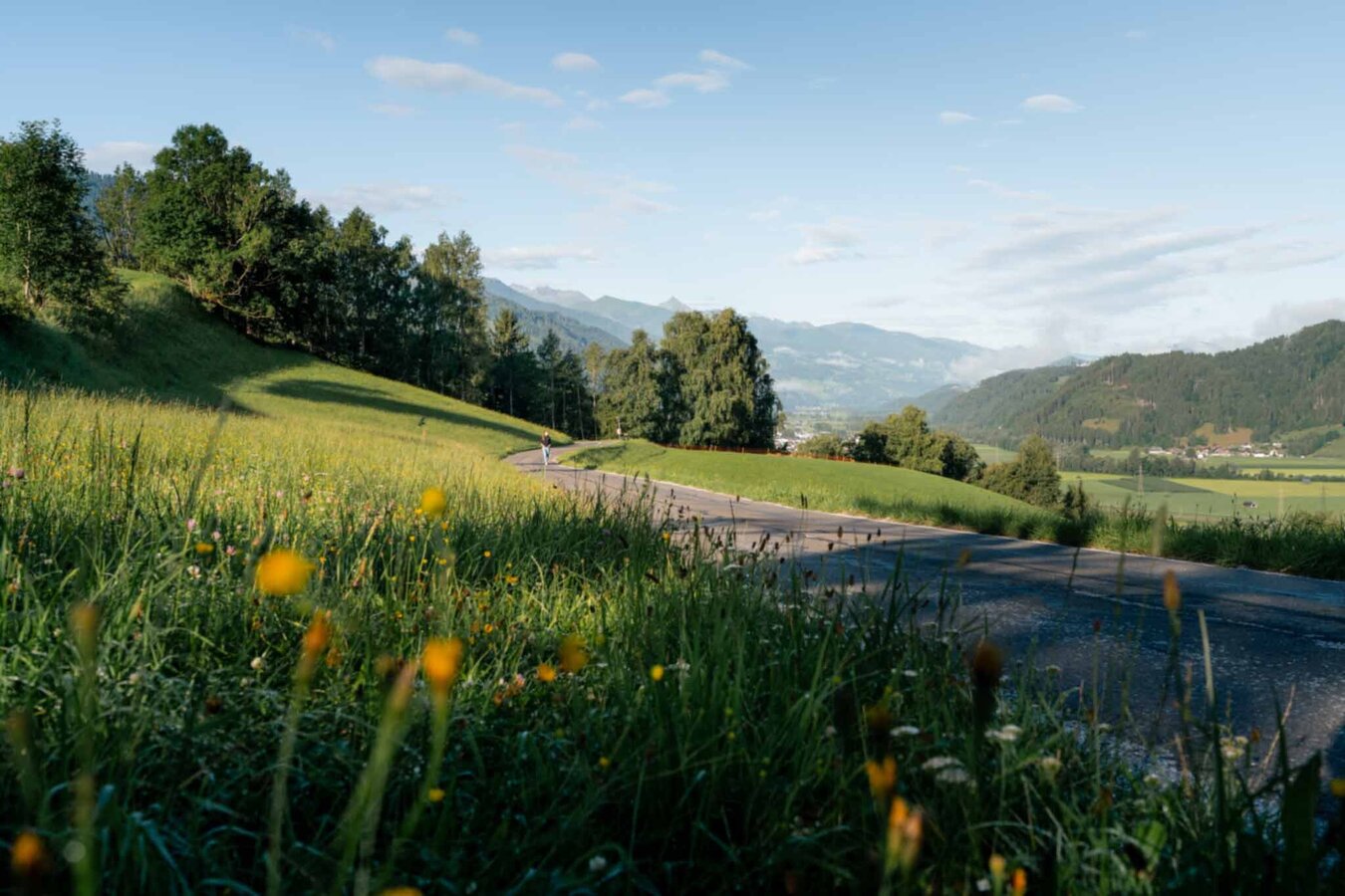
Große Niederöblarner Runde | © Tourismusverband Schladming-Dachstein | Christoph Lukas
9/27
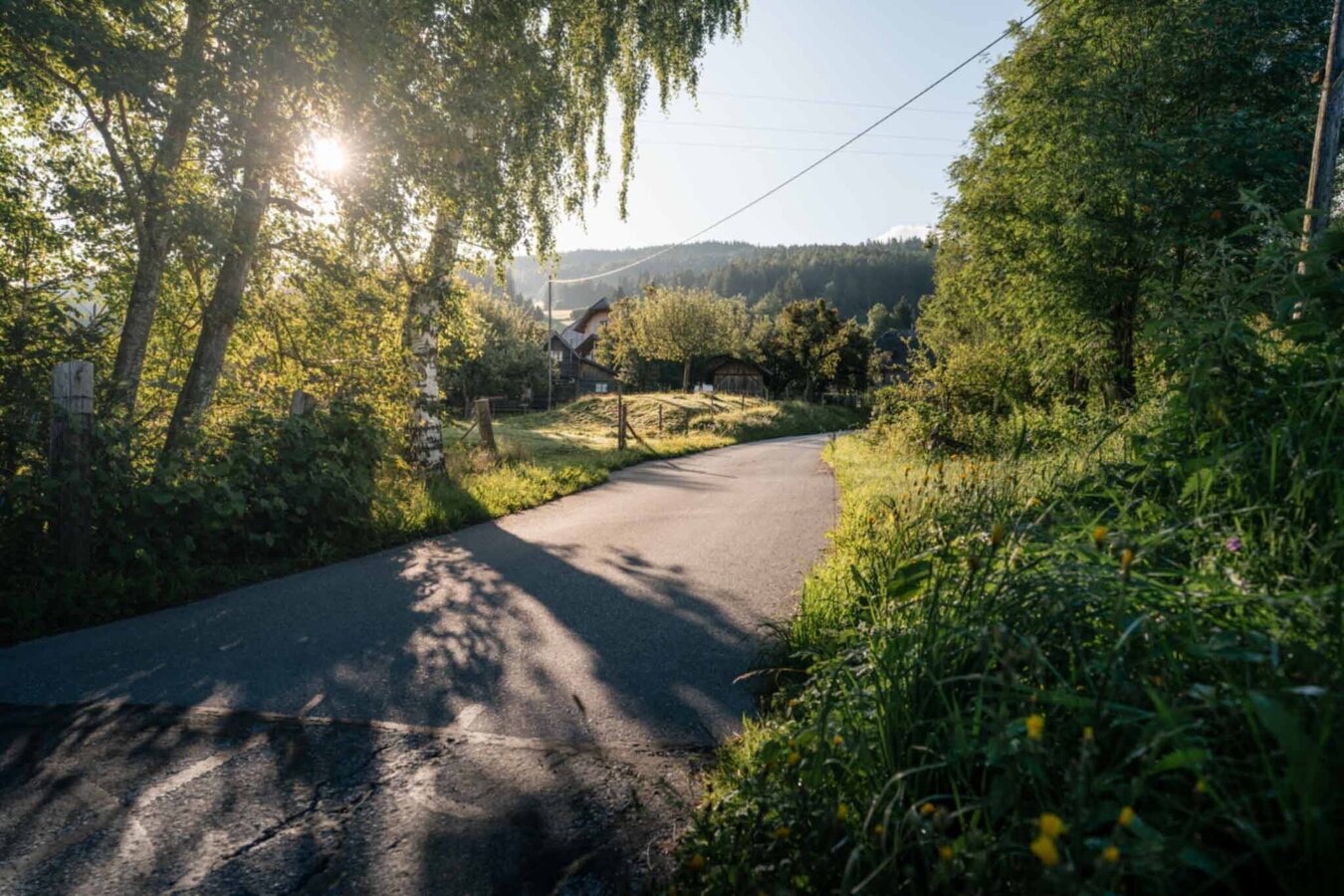
Große Niederöblarner Runde | © Tourismusverband Schladming-Dachstein | Christoph Lukas
10/27
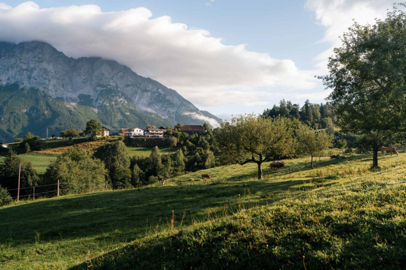
Große Niederöblarner Runde | © Tourismusverband Schladming-Dachstein | Christoph Lukas
11/27
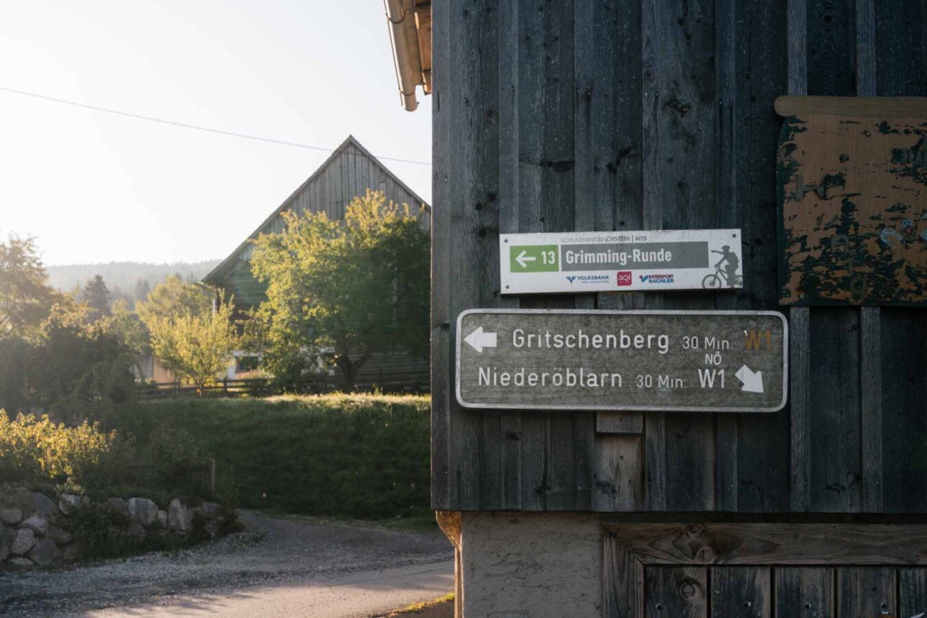
Signpost Große Niederöblarner Runde | © Tourismusverband Schladming-Dachstein | Christoph Lukas
12/27
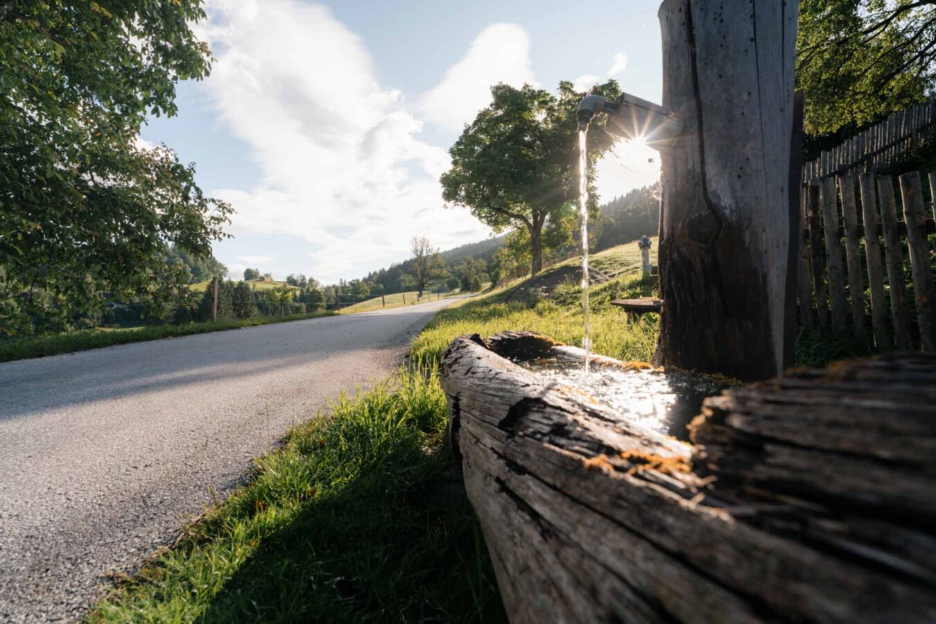
Wooden fountain on the Niederöblarner Runde | © Tourismusverband Schladming-Dachstein | Christoph Lukas
13/27
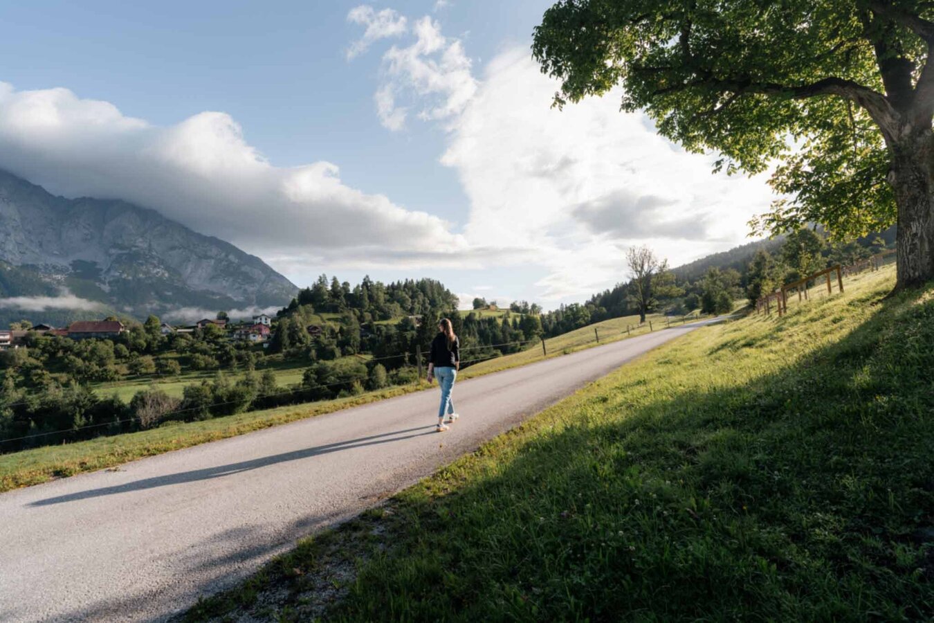
Hiking trail near Niederöblarn | © Tourismusverband Schladming-Dachstein | Christoph Lukas
14/27
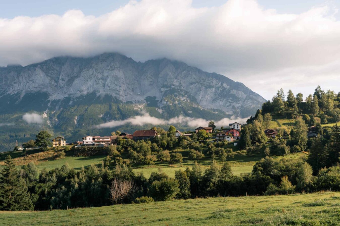
Village in front of a mountain massif | © Tourismusverband Schladming-Dachstein | Christoph Lukas
15/27
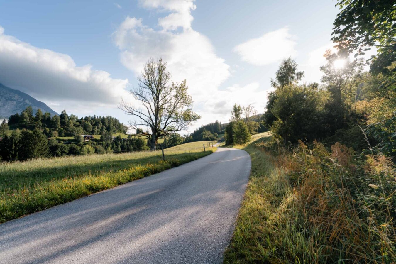
Große Niederöblarner Runde | © Tourismusverband Schladming-Dachstein | Christoph Lukas
16/27
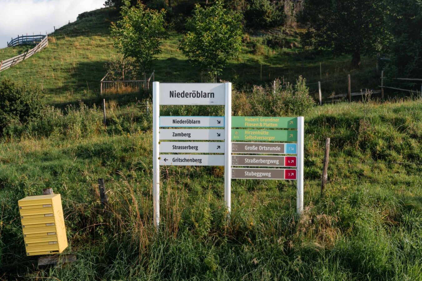
Signpost Große Niederöblarner Runde | © Tourismusverband Schladming-Dachstein | Christoph Lukas
17/27
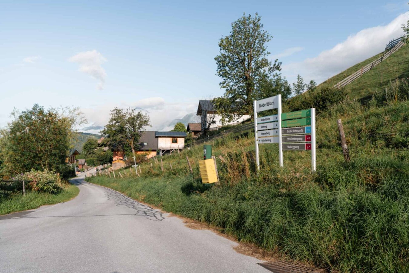
Signpost Große Niederöblarner Runde | © Tourismusverband Schladming-Dachstein | Christoph Lukas
18/27
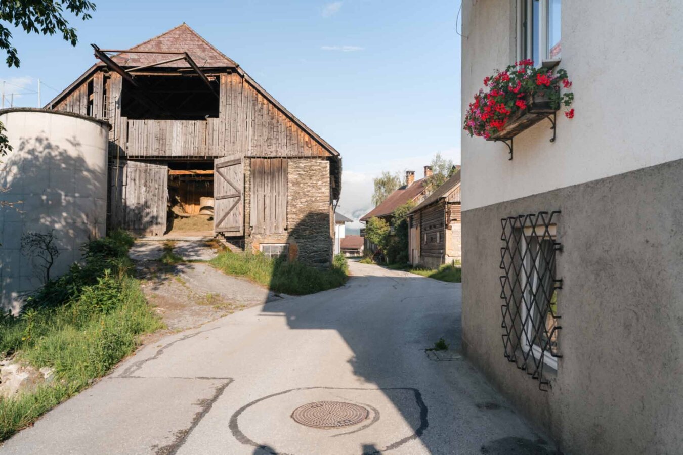
Dorfstraße in Niederöblarn | © Tourismusverband Schladming-Dachstein | Christoph Lukas
19/27
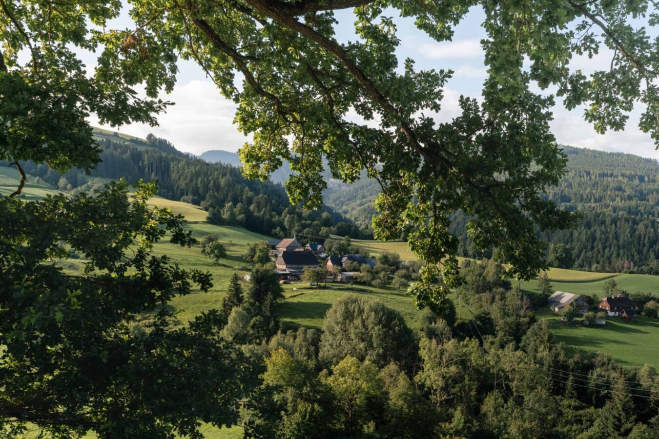
Große Niederöblarner Runde | © Tourismusverband Schladming-Dachstein | Christoph Lukas
20/27
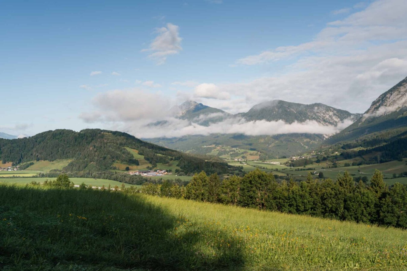
Große Niederöblarner Runde | © Tourismusverband Schladming-Dachstein | Christoph Lukas
21/27
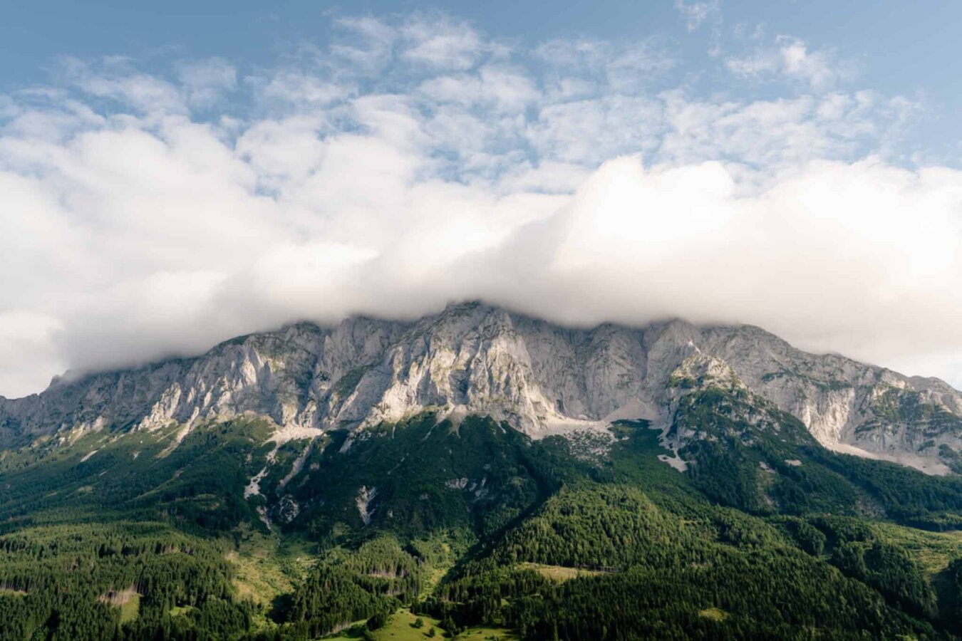
Grimming massif near Niederöblarn | © Tourismusverband Schladming-Dachstein | Christoph Lukas
22/27
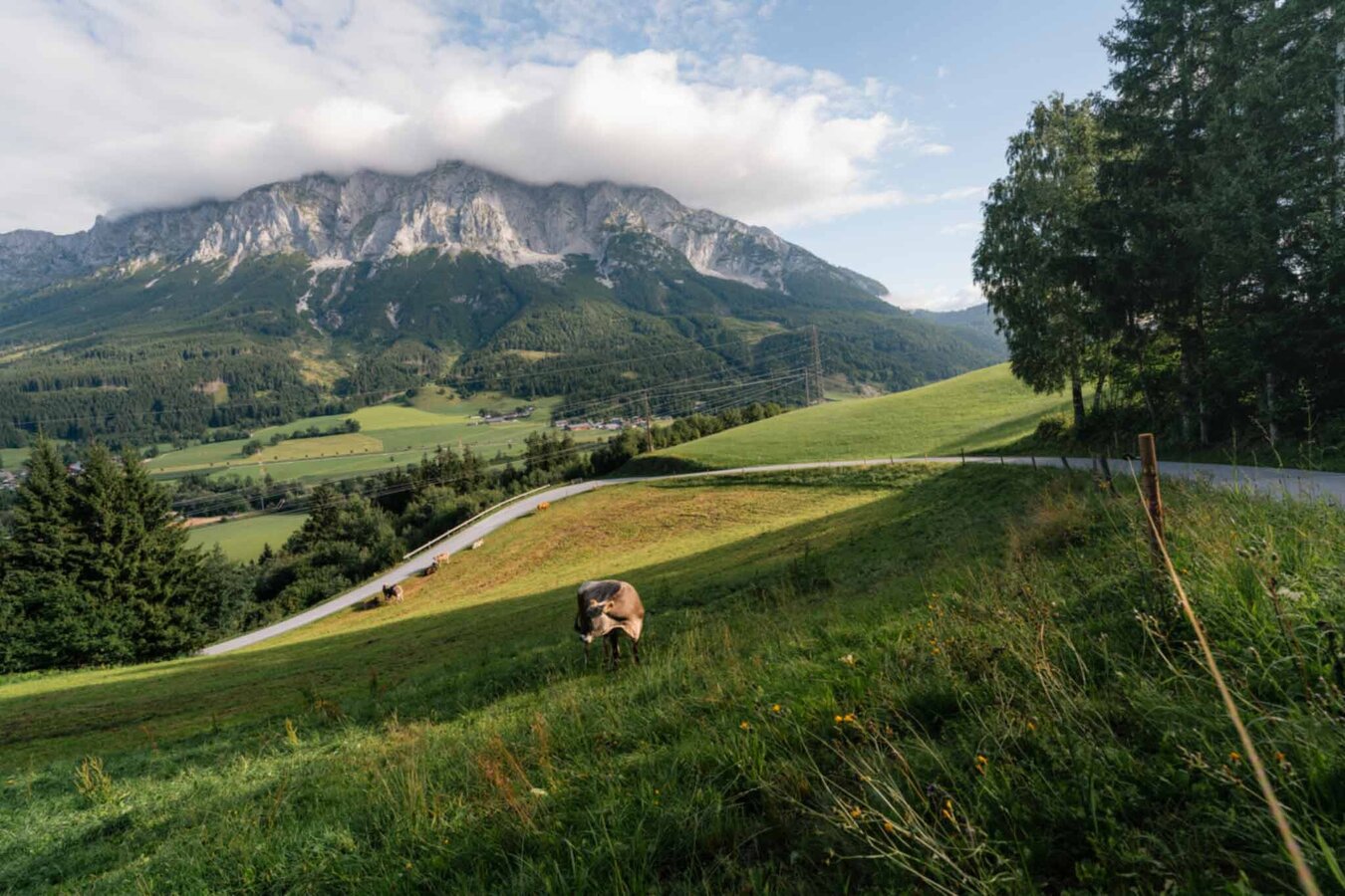
Alpine pasture landscape near Niederöblarn | © Tourismusverband Schladming-Dachstein | Christoph Lukas
23/27

Alpine pasture landscape near Niederöblarn | © Tourismusverband Schladming-Dachstein | Christoph Lukas
24/27
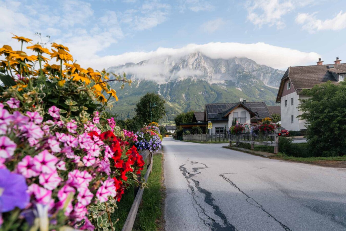
Dorfstraße in Niederöblarn | © Tourismusverband Schladming-Dachstein | Christoph Lukas
25/27
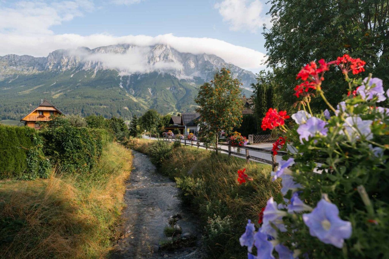
Stream in Niederöblarn | © Tourismusverband Schladming-Dachstein | Christoph Lukas
26/27
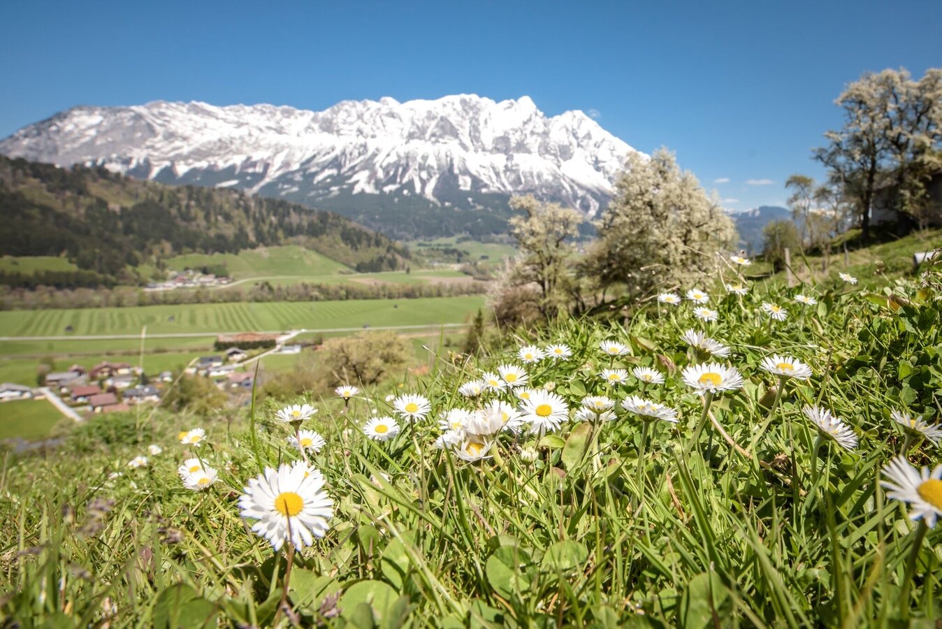
View of the Große Niederöblarner Runde | © Erlebnisregion Schladming-Dachstein | Schladming Dachstein
27/27

What the weather will be like Öblarn (668m)
Today, 24.10.2026
Heavy rain in the morning, drying up in the afternoon.Morning

4°C
sr.Regenwahrscheinlichkeit
95%
sr.Windstärke
5 km/h
Noon

7°C
sr.Regenwahrscheinlichkeit
80%
sr.Windstärke
5 km/h
Night

4°C
sr.Regenwahrscheinlichkeit
30%
sr.Windstärke
5 km/h
Tomorrow, 25.10.2026
Mostly cloudy and rain, which will increase more and more.Morning
0°C
sr.Regenwahrscheinlichkeit
15%
sr.Windstärke
0 km/h
Noon
8°C
sr.Regenwahrscheinlichkeit
65%
sr.Windstärke
5 km/h
Night
7°C
sr.Regenwahrscheinlichkeit
80%
sr.Windstärke
5 km/h
Forecast
26.10.2026
1°C
12°C
27.10.2026

0°C
14°C
28.10.2026
1°C
13°C
