


Partially opened, Roadblock
Enns Trail Gleiming - Mandling
Accessible by public transport- Public bus (within 15 minutes walking distance from starting point)
Characteristics
SkillThe tour in numbers
Level of difficulty
easy
Route
6,3 km
Time
1:30 h
Uphill
70 hm
Downhill
70 hm
Highest point
826 m
Lock away
Partially opened
Wegabsperrung Pichl-Audorf
This tour connects the small villages Audorf, Warterdorf, Mandling and Gleiming.
From Gleiming the tour takes you through Audorf and Warterdorf villages via gentle forest and meadow sections. Once you reach Mandling you walk back near the river Enns through nice lowland forest.
Lock away
Partially opened
Wegabsperrung Pichl-Audorf
Due to extensive renovations and expansion work at the existing guesthouse Pichl-Audorf 121 (currently Apartments Karin Tritscher) and the renewal of the high-voltage power line route, the hiking trail between Audorf and Warterdorf is closed. Construction is expected to last until late fall 2026.A detour is possible via the Enns Cycle Path to the wastewater treatment plant and from there to the Warterdorf access road.
Best season
January
February
March
April
May
June
July
August
September
October
November
December
More information
Exit from federal highway B320 in Gleiming, make a left after the Enns river bridge and continue to the parking at the Reiteralm valley terminal. West of the parking area there is Hotel Brunner, which is your starting point.
Parking is available around the valley terminal of Reiteralm-Bergbahnen lift company.
Parking is available around the valley terminal of Reiteralm-Bergbahnen lift company.
You start off in Gleiming and hike to the underpass of the federal highway B320. Continue through Audorf and then walk up a narrow path behind the Audorf to reach the forest trail towards Warterdorf. Once you reach Warterhof farm in Warterdorf continue along the road to the turn-off from the federal highway B320. Follow trail n° 100 (»Panoramaweg 100«) until you reach »Mandling«. Walk past the loden manufacturer Steiner1888 and then use the pedestrian underpass and the bridge across the railroad. Walk through the residential area of the village of Mandling and then across the bridge over the river Enns. Pass by the gravel pit and continue along the river Enns back to Gleiming.
Hiking or trekking shoes with grip sole, jacket.
With the "Postbus" buses from Schladming to Gleiming. www.postbus.at
Tourist information: www.schladming.com
Information about bus schedules: www.postbus.at
- Hiking map ‘Hiking WEST’ available at the information offices in the region.
- Schladming hiking map, 1:25,000, available at the Schladming information office.
- Hiking map Schladming-Dachstein, 1:50,000, available at the information offices in the region.
- Hiking guide Schladming-Dachstein by Herbert Raffalt, available at the information offices in the region.
Map & downloads
Gallery
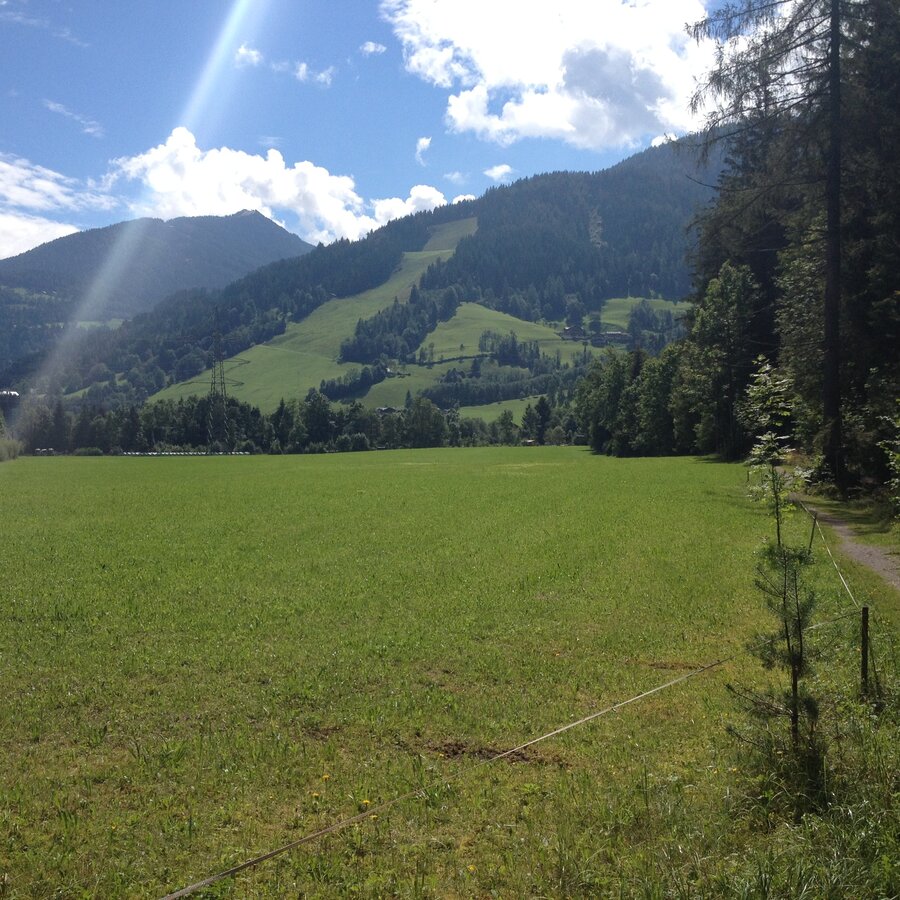
Enns Tour Mandling | © Gerhard Pilz | Gerhard Pilz
1/3
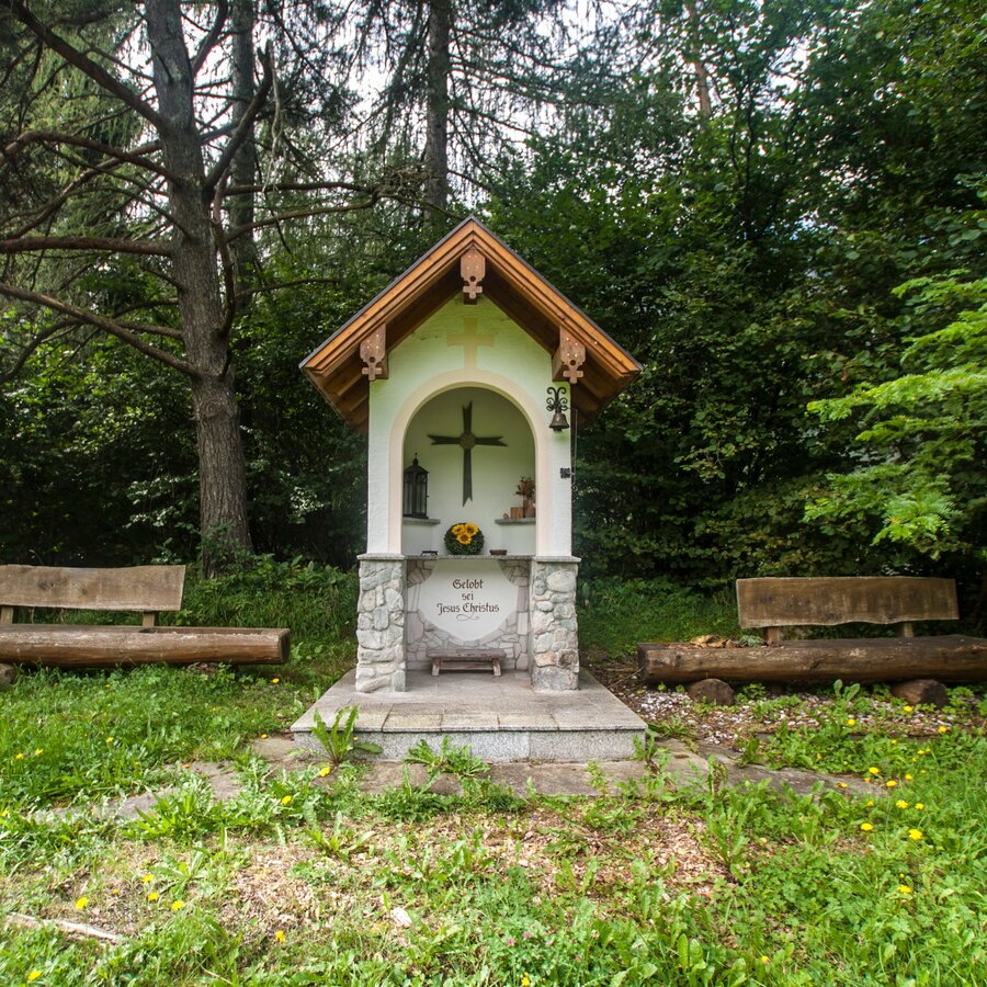
Wayside cross near Warterdorf village | © Gerhard Pilz - www.gpic.at | Gerhard Pilz
2/3
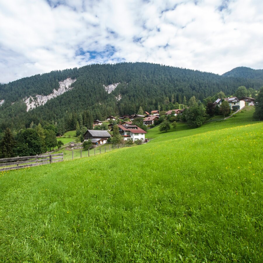
On the way to Warterdorf on Enns Trail Gleiming - Mandling | © Erlebnisregion Schladming-Dachstein | Gerhard Pilz
3/3

What the weather will be like Schladming (740m)
Today, 09.10.2026
Morning clouds will clear gradually. Then frequent sunny periods.Morning

7°C
sr.Regenwahrscheinlichkeit
90%
sr.Windstärke
5 km/h
Noon

14°C
sr.Regenwahrscheinlichkeit
15%
sr.Windstärke
5 km/h
Night
10°C
sr.Regenwahrscheinlichkeit
0%
sr.Windstärke
5 km/h
Tomorrow, 10.10.2026
A fair early morning, later increasing cloudiness and frequent showers.Morning
7°C
sr.Regenwahrscheinlichkeit
5%
sr.Windstärke
0 km/h
Noon

13°C
sr.Regenwahrscheinlichkeit
50%
sr.Windstärke
5 km/h
Night

10°C
sr.Regenwahrscheinlichkeit
70%
sr.Windstärke
5 km/h
Forecast
11.10.2026
7°C
14°C
12.10.2026
3°C
13°C
13.10.2026

2°C
14°C
