


Open
Eiskar Trail | 100
Characteristics
FitnessThe tour in numbers
Level of difficulty
easy
Route
5,4 km
Time
0:30 h
Downhill
380 hm
Highest point
1740 m
Flowing trail, without any difficulties worth mentioning, which is fun for beginners as well as for advanced riders!
The Eiskar Trail begins directly at the Preunegg Jet mountain station and is also ideal for beginners. The trail is free of obstacles and steps and with its flowing course it invites you to leave your brakes open. After 300 m on a forest path, the Schnepfenwald Trail follows the continuation of the blue descent.
Opening hours 2026 Preunegg Jet gondola:
Pre-season (08:45 to 17:00)
June 4 - June 21: Friday to Sunday and public holidays
High season (08:45 to 17:00)
June 26 - September 14: daily
Low season (08:45 to 17:00)
September 18 to October 19: Friday to Monday
October 23 to November 01: daily
Best season
January
February
March
April
May
June
July
August
September
October
November
December
More information
From Salzburg:
Follow the A10 to Altenmarkt. There join the B320 and continue in the direction of Liezen. At the Pichl/Preunegg exit, follow the Preunegg road for approx. 3.5km.
From Graz:
Follow the A9 until Liezen. There join the B320 and continue in the direction of Schladming. At the Pichl/Preunegg exit, follow the Preunegg road for approx. 3.5 km.
Valley Station Preunegg Jet:
Preunegg 70, 8973 Schladming
https://www.reiteralm.at/en/service/anreise-routenplaner
There are plenty of parking spaces at the Preunegg Jet valley station available!
The trail starts directly at the Preunegg Jet mountain station.
The flowing, varied trail is followed for 5 km, until it ends directly on the Reiteralm road.
After 300m on the road you continue into the Schnepfenwald Trail, which leads directly to the Preunegg Jet valley station.
Code of honor:
- It is recommended that you first inspect the route at moderate speed to familiarise yourself with the route and any obstacles.
- Only drive on paved and signposted paths.
- The safety distances to the driver in front must be observed.
- Pay attention to traffic at crossroads! Be considerate and give way.
- Avoid blocking the back wheel and thus help to maintain the paths.
- Control your speed!
- Protect the environment and don't leave garbage, etc. in the mountains!
Recommendation on all routes of the Reiteralm Trails:
- suitable mountain bike
- helm
- good footwear
- obligatory elbow and knee pads
.
Bike- and hiking bus
from Schladming via Rohrmoos to the Preunegg Jet-Reiteralm
Stop for bikers:
- Schladming - Planet Planai
- Schladming - Lendplatz
- Rohrmoos-Dorf (traffic circle)
- Talstation Gipfelbahn Hochwurzen
- Reiteralm - Preunegg Jet
Map & downloads
Gallery
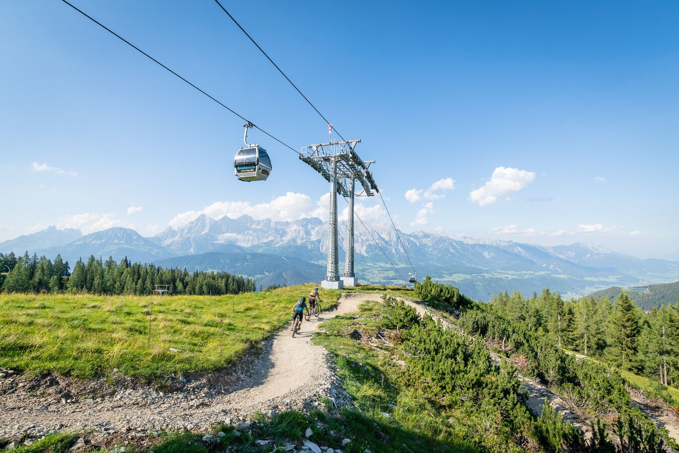
Mountain biking on the Eiskar Trail | © Erlebnisregion Schladming-Dachstein | Christoph Oberschneider
1/8
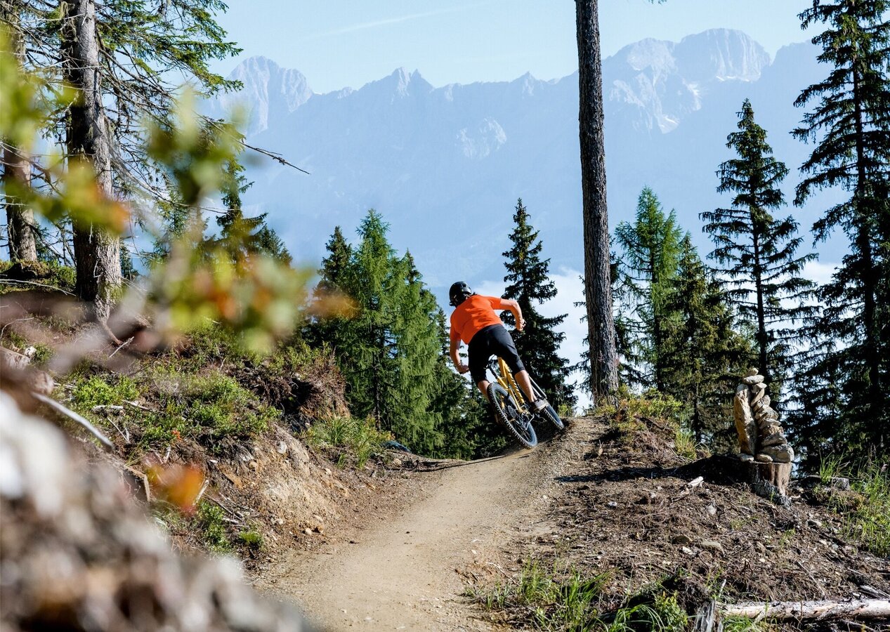
Mountain bikers on the Eiskar Trail | © Erlebnisregion Schladming-Dachstein | Matthias Fritzenwallner
2/8
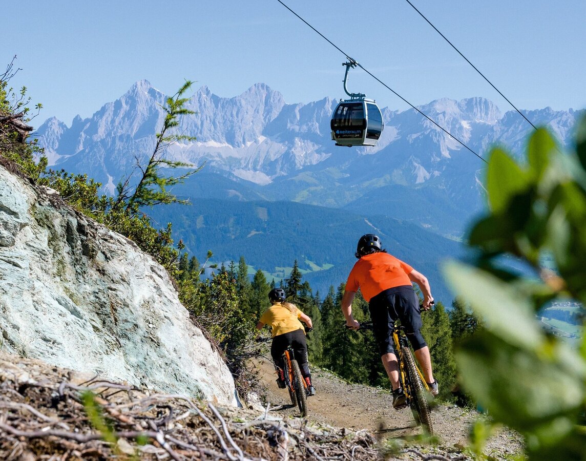
Mountain biking on the Eiskar Trail | © Erlebnisregion Schladming-Dachstein | Matthias Fritzenwallner
3/8
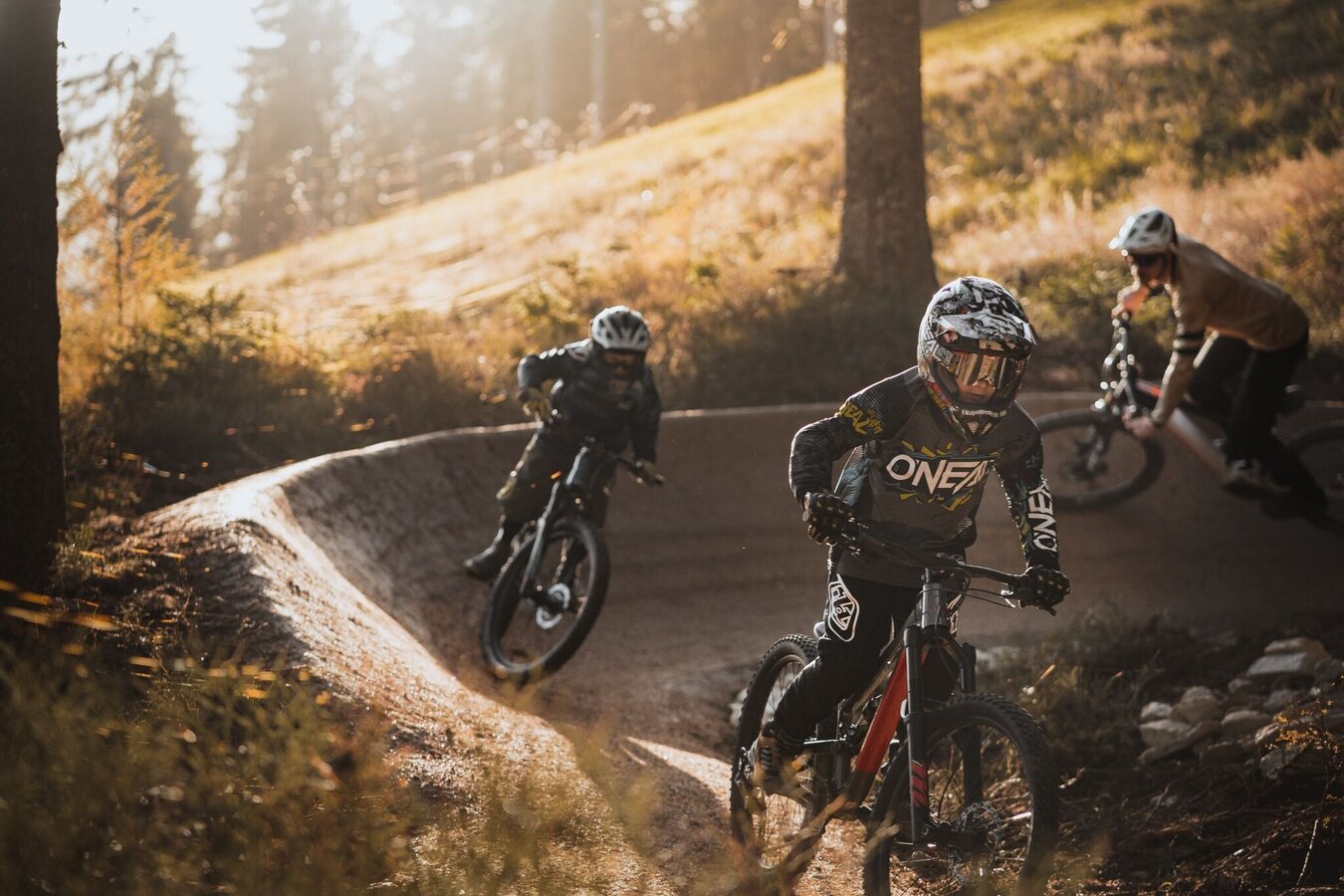
Mountain bikers on the Eiskar Trail | © Erlebnisregion Schladming-Dachstein | Johannes Bitter
4/8
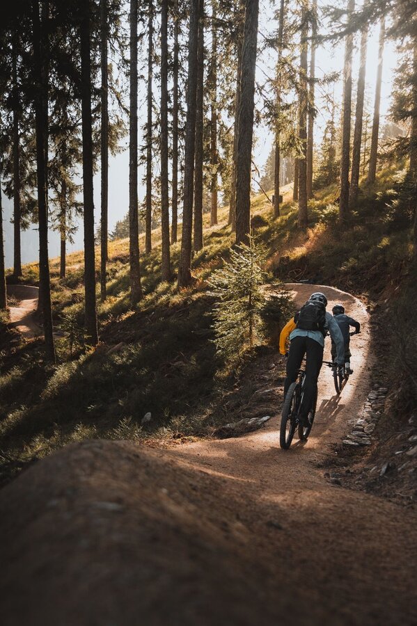
Mountain biking on the Eiskar Trail | © Erlebnisregion Schladming-Dachstein | Johannes Bitter
5/8
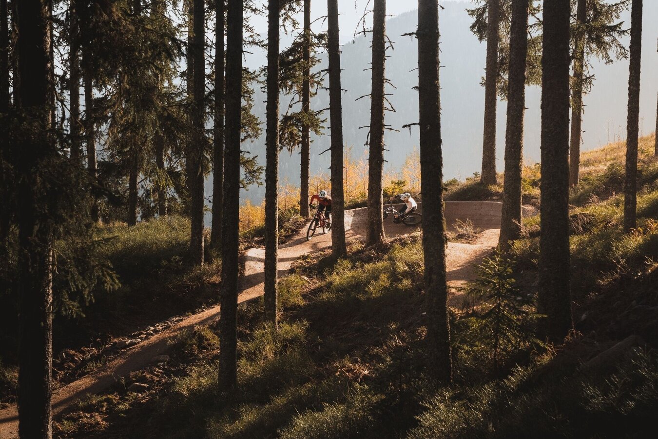
Mountain bikers on the Eiskar Trail | © Erlebnisregion Schladming-Dachstein | Johannes Bitter
6/8

Mountain bikers on the Eiskar Trail | © Erlebnisregion Schladming-Dachstein | Johannes Bitter
7/8

Mountain bikers on the Eiskar Trail | © Erlebnisregion Schladming-Dachstein | Johannes Bitter
8/8

What the weather will be like Schladming (740m)
Today, 09.10.2026
Light morning rain, but slowly becoming sunny during the day.Morning

9°C
sr.Regenwahrscheinlichkeit
70%
sr.Windstärke
5 km/h
Noon

14°C
sr.Regenwahrscheinlichkeit
20%
sr.Windstärke
5 km/h
Night

10°C
sr.Regenwahrscheinlichkeit
0%
sr.Windstärke
5 km/h
Tomorrow, 10.10.2026
Mostly cloudy with sunny spells, rainshowers mainly in the afternoon and evening.Morning
7°C
sr.Regenwahrscheinlichkeit
5%
sr.Windstärke
0 km/h
Noon
13°C
sr.Regenwahrscheinlichkeit
45%
sr.Windstärke
5 km/h
Night

10°C
sr.Regenwahrscheinlichkeit
70%
sr.Windstärke
5 km/h
Forecast
11.10.2026
6°C
14°C
12.10.2026
4°C
14°C
13.10.2026

2°C
15°C
