


Dorfrunde Donnersbachwald
Characteristics
SkillThe tour in numbers
Level of difficulty
easy
Route
6,2 km
Time
2:00 h
Uphill
195 hm
Downhill
195 hm
Highest point
1056 m
A combination from the ,,Stallwiesenweg'', ,,Pötschnerrunde'' and ,,Vorderwaldrunde'' with possibilities to shorten.
A combination of Stallwiesenweg, Vorderwaldrunde and Pötschnerrunde. Wow, that's what you call a really extended afternoon loop to collect kilometers. But pssst: You can easily shorten at several places.
Best season
January
February
March
April
May
June
July
August
September
October
November
December
More information
Coming from the B320, at the traffic circle Trautenfels in the direction of Irdning. Then direction Donnersbach, Donnersbachwald.
Free Parking at the village center Donnersbachwald.
Free Parking at the village center Donnersbachwald.
You start at the Stegerhof bridge and walk along the marked trail to Vorderwald. Along the main road (partly on the sidewalk) back to the village and further to the Riesneralm. From the Riesneralm you walk along the stream back to the starting point.
Way number: 7
Good shoes, clothes and a backpack for a small snack.
- Plan your trip in advance, taking into account walking time, distance, elevation gain, hazards, and weather reports.
- Let others know where you are going and when you want to be back.
- Turn back in good time if the weather deteriorates. If you are caught in a thunderstorm, stay away from free-standing trees and wait out the storm, crouching if possible.
- Stay on marked trails and remember to close pasture fences.
- If you are a dog owner: Clarify before the hike if you need to cross a pasture. Keep your dog on a leash and make sure it stays calm. If a cow attacks, let the dog off the leash immediately. Never pick him up to defend him.
With the bus 941 to the busstop ,,Donnersbachwald Ort''. There is also the start point of the tour.
Between summerholidays are no busconections.
The next trainstation is far away 22 kilometers.
Tourism information: www.schladming-dachstein.at
Tourist Office Schladming-Dachstein
Ramsauerstrasse 756
8970 Schladming
T: +43 3687 23310
info@schladming-dachstein.at
- SCHLADMING-DACHSTEIN Hiking EAST. Available free of charge at tourist offices and lodging establishments.
- SCHLADMING-DACHSTEIN Hiking Map (1:50.000)
Map & downloads
Gallery
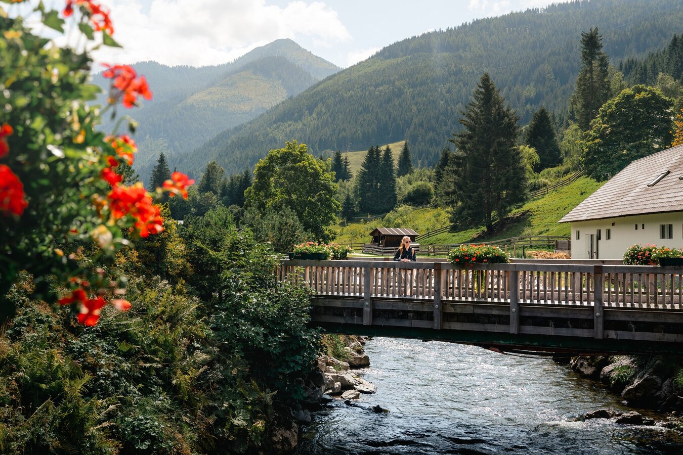
Wooden bridge over a mountain stream | © Christoph Lukas | Christoph Lukas
1/19
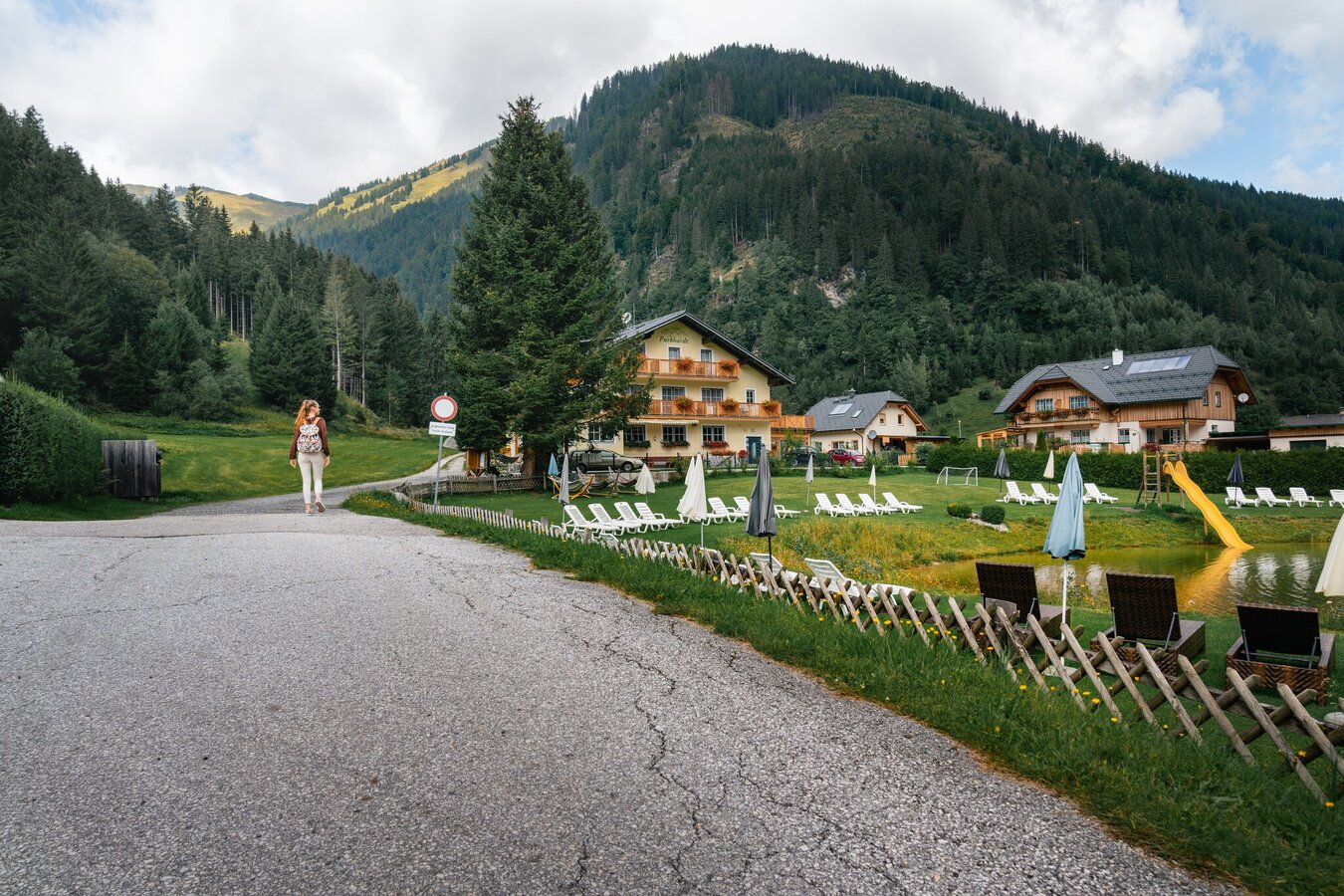
Stallwiesenweg in Donnersbachwald | © Christoph Lukas | Christoph Lukas
2/19
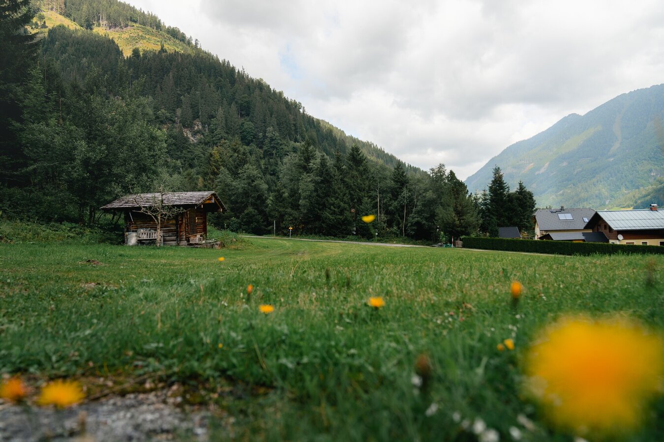
Donnersbachwald Village Loop | © Christoph Lukas | Christoph Lukas
3/19
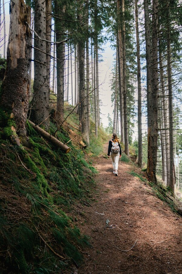
Hike on the Stallwiesenweg | © Christoph Lukas | Christoph Lukas
4/19
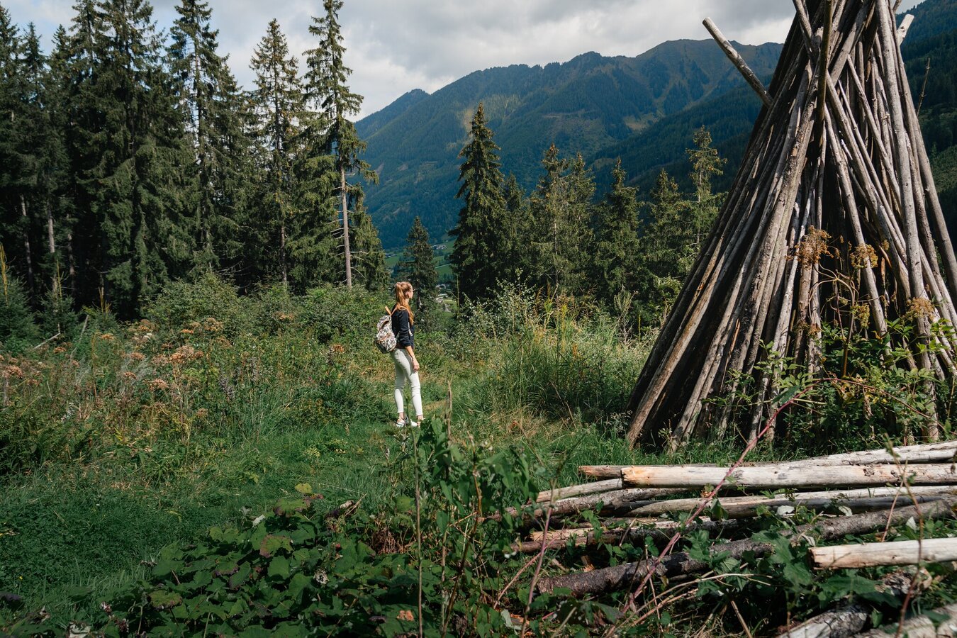
Hiking trail in Donnersbachwald | © Christoph Lukas | Christoph Lukas
5/19

Hiking trail along the Mörsbach | © Christoph Lukas | Christoph Lukas
6/19
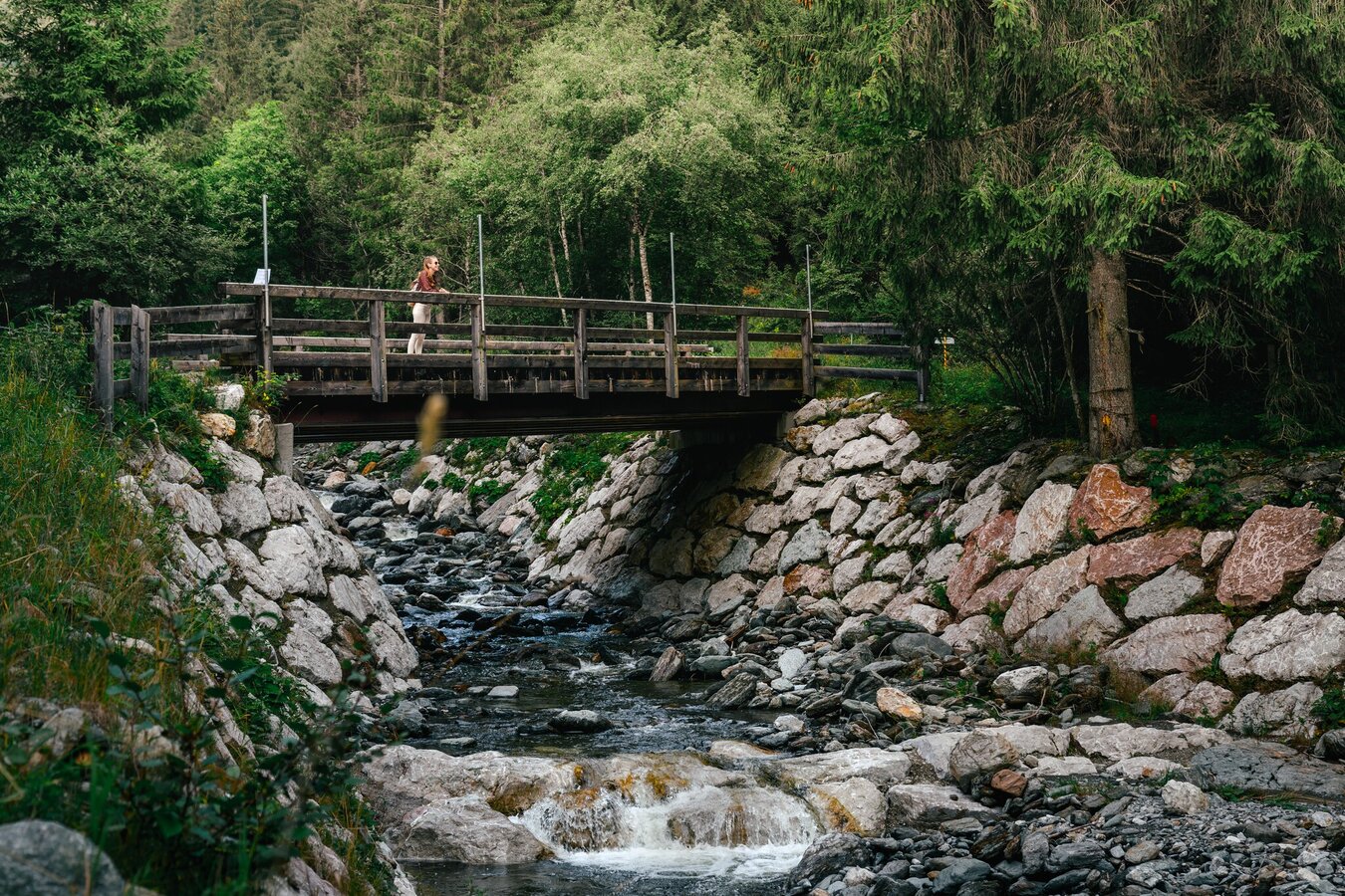
Wooden bridge on the Stallwiesenweg | © Christoph Lukas | Christoph Lukas
7/19
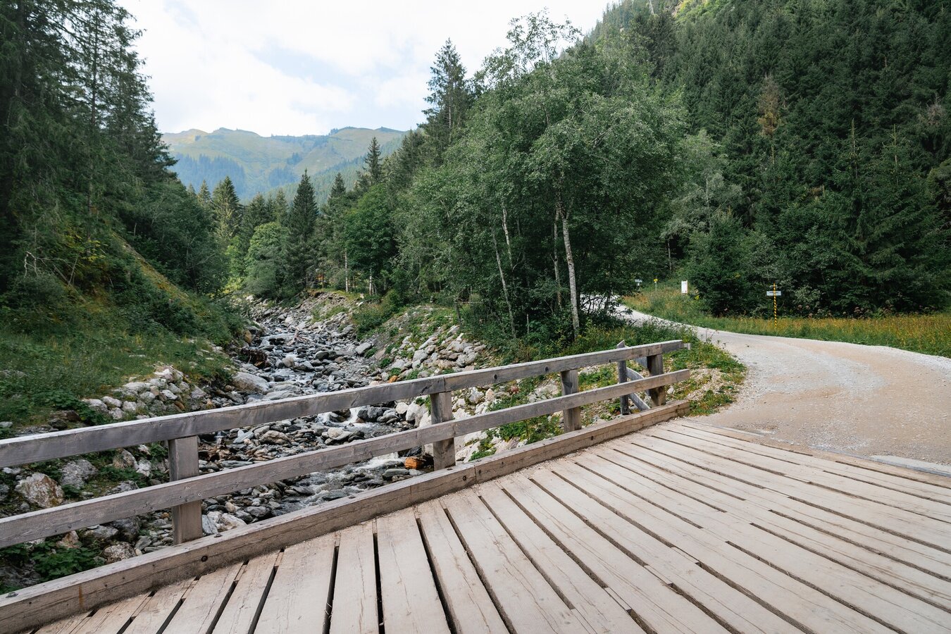
Wooden bridge by the mountain stream | © Christoph Lukas | Christoph Lukas
8/19

Rest area on the Mörsbachweg | © Christoph Lukas | Christoph Lukas
9/19
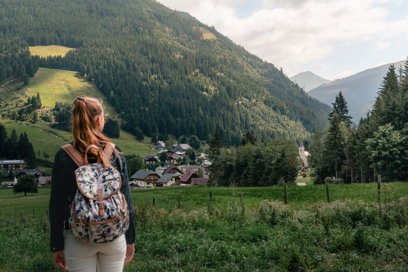
View of Donnersbachwald | © Christoph Lukas | Christoph Lukas
10/19
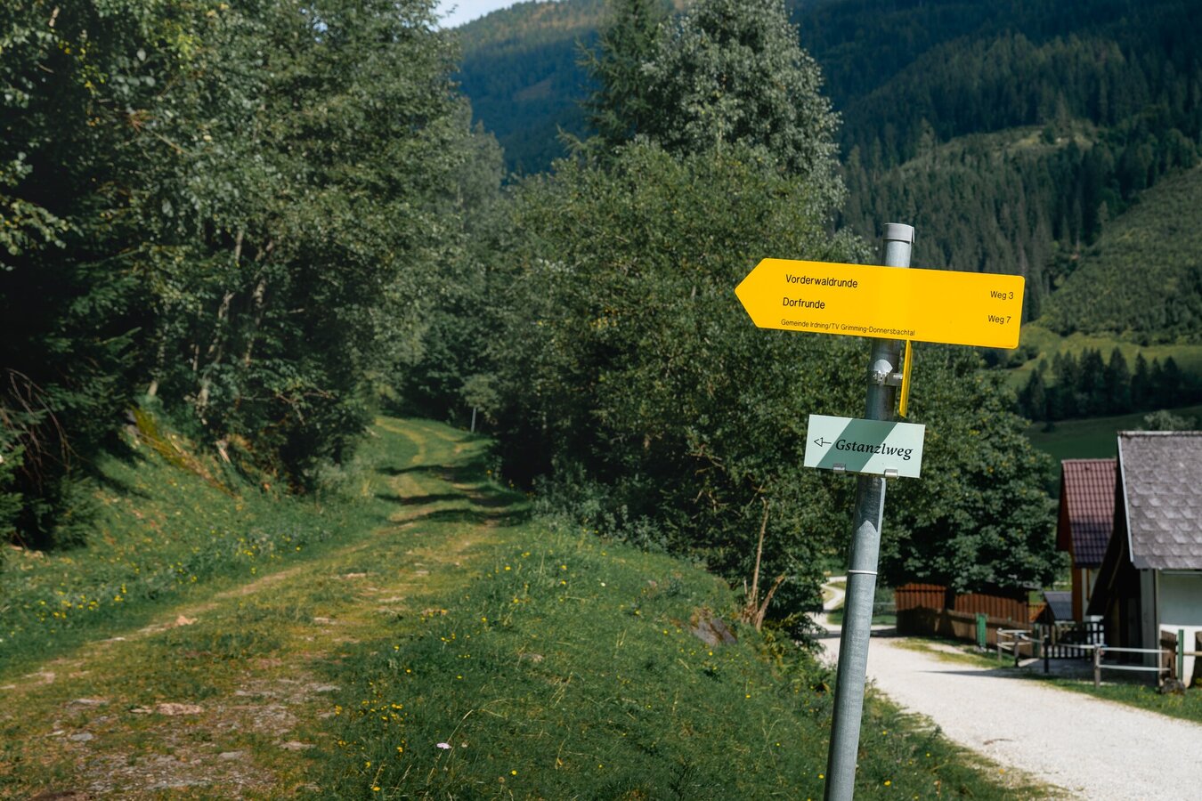
Signposts Vorderwaldrunde and Dorfrunde | © Christoph Lukas | Christoph Lukas
11/19
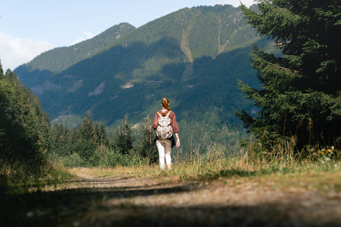
Hike in Donnersbachwald | © Christoph Lukas | Christoph Lukas
12/19
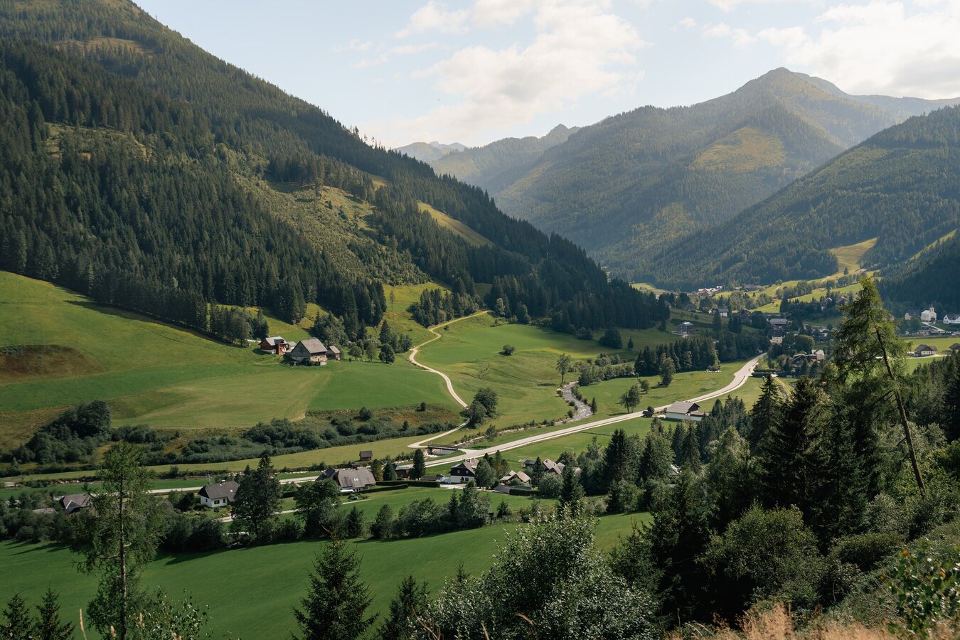
Donnersbachwald in summer | © Christoph Lukas | Christoph Lukas
13/19
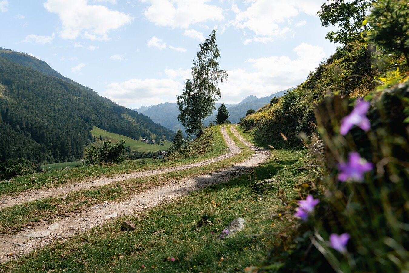
Hiking trail near Donnersbachwald | © Christoph Lukas | Christoph Lukas
14/19
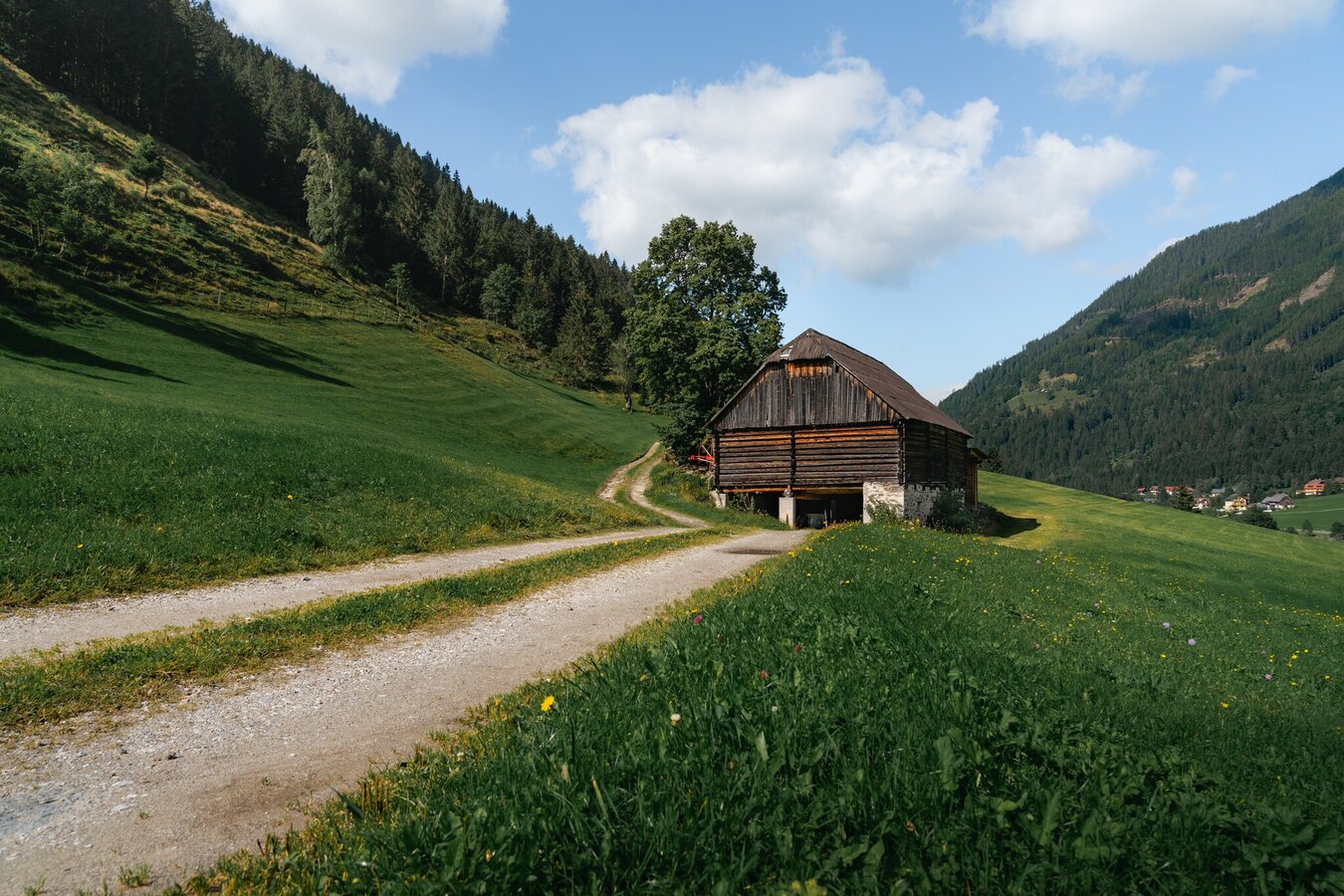
Hiking trail near Donnersbachwald | © Christoph Lukas | Christoph Lukas
15/19
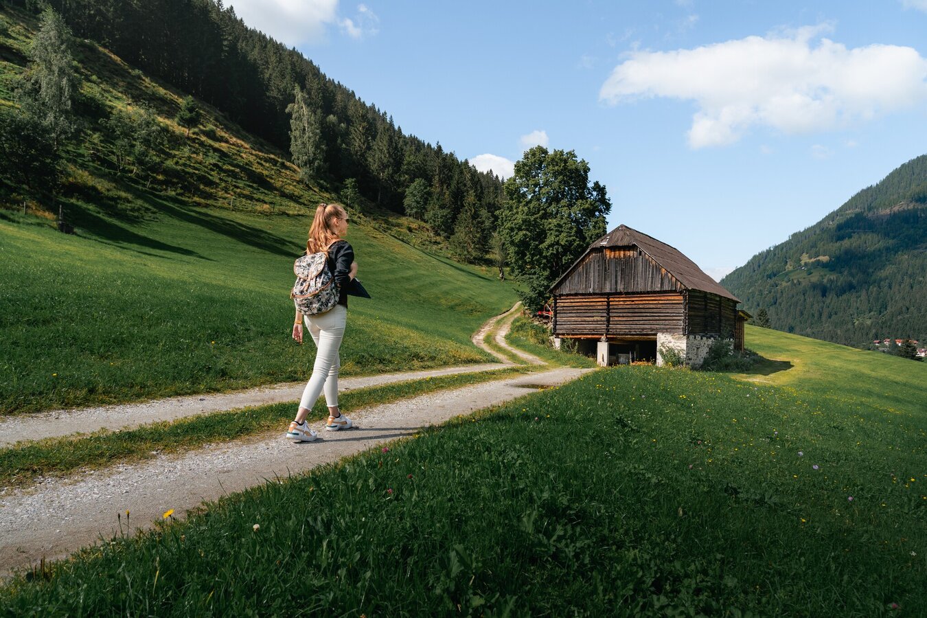
Hike in Donnersbachwald | © Christoph Lukas | Christoph Lukas
16/19
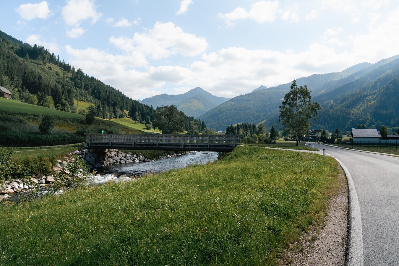
Wooden bridge in the Donnersbachtal valley | © Christoph Lukas | Christoph Lukas
17/19
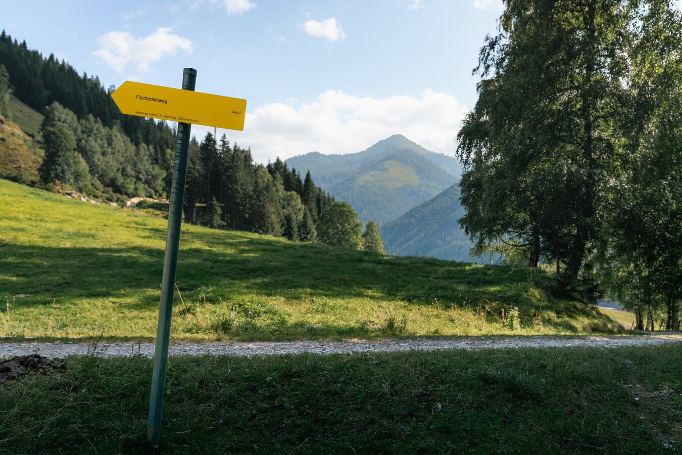
Fischeralmweg signpost | © Christoph Lukas | Christoph Lukas
18/19
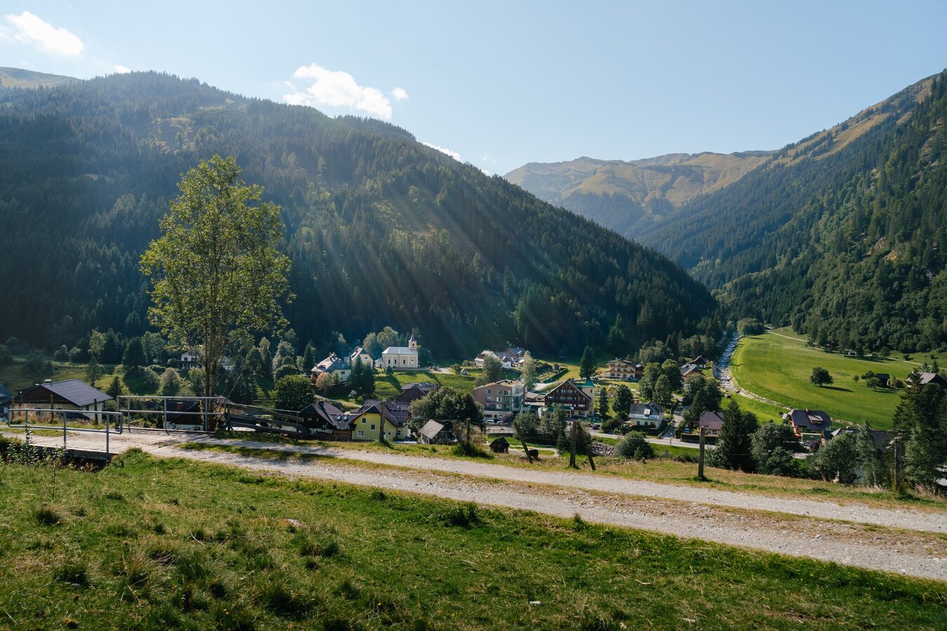
Village view Donnersbachwald | © Christoph Lukas | Christoph Lukas
19/19

What the weather will be like Irdning-Donnersbachtal (665m)
Today, 25.09.2026
Early clouds will clear to leave the region with a dry and sunny day.Morning

6°C
sr.Regenwahrscheinlichkeit
5%
sr.Windstärke
5 km/h
Noon

15°C
sr.Regenwahrscheinlichkeit
5%
sr.Windstärke
0 km/h
Night

10°C
sr.Regenwahrscheinlichkeit
0%
sr.Windstärke
5 km/h
Tomorrow, 26.09.2026
Dry and sunny throughout the day with hardly any clouds.Morning
4°C
sr.Regenwahrscheinlichkeit
0%
sr.Windstärke
0 km/h
Noon
18°C
sr.Regenwahrscheinlichkeit
0%
sr.Windstärke
5 km/h
Night
11°C
sr.Regenwahrscheinlichkeit
0%
sr.Windstärke
5 km/h
Forecast
27.09.2026
4°C
22°C
28.09.2026
6°C
23°C
29.09.2026
7°C
24°C
