


Partially opened, Roadblock
Bike & Hike Silberkarklamm - Silberkarhütte
Characteristics
SkillThe tour in numbers
Level of difficulty
medium
Route
24,7 km
Time
3:35 h
Uphill
710 hm
Downhill
710 hm
Highest point
1281 m
Lock away
Partially opened
Straßensanierung Linke Ennsau
Bike & Hike tour to the Silberkarhütte with optional via ferratas in the impressive Silberkar Gorge.
The bike route leads from Schladming via Birnberg and Rössing to the Silberkar Gorge. From there, the hike continues up to the Silberkarhütte.
Alternatively, three via ferratas are available as a sporty option.
Prices: Silberkar Gorge entrance
Hike total: 2:10 h, 4.2 km, 295 m elevation gain
Alternatively, three via ferratas are available as a sporty option.
Prices: Silberkar Gorge entrance
Via ferratas:
Bike total: 1:25 h, 20.5 km, 415 m elevation gainHike total: 2:10 h, 4.2 km, 295 m elevation gain
Lock away
Partially opened
Straßensanierung Linke Ennsau
Road renovation work along "Linke Ennsau" in the "WM-Siedlung" (World Championship residential area) is nearing completion.Preparatory work for the asphalt paving will result in brief disruptions and closures on Friday, October 16, 2026.
The actual paving work is scheduled to take place between Wednesday, October 21, and Friday, October 23, 2026. The specific days for paving will depend on weather conditions.
During this period, the road will be completely closed for two days.
We appreciate your understanding regarding these measures.
Road traffic will be diverted via the "Athletic Area" and the path running alongside the railway line.
During this time, the R7 cycle path will be rerouted along "Untere Klaus-Straße."
Best season
January
February
March
April
May
June
July
August
September
October
November
December
More information
From Salzburg:
Follow the A10 to Altenmarkt. There join the B320 and continue in the direction of Liezen. At the Schladming exit, turn right at the Jet petrol station and follow Coburgstraße to the Planai car park on the left.
From Graz:
Follow the A9 to Liezen. There join the B320 and continue in the direction of Schladming. At the Schladming exit, turn left at the Jet petrol station and follow Coburgstraße to the Planai car park on the left.
There is plenty of parking available at the Planet Planai car park.
Start at Planet Planai and follow the signs of the Sonnseitn Loop (821) uphill to Birnberg. In Oberbirnberg leave the loop and continue straight ahead. After a short descent, turn left and ride steadily uphill along the Weißenbach towards Rössing. In Rössing turn right – at Lodenwalker there is a possibility to charge your e-bike. Then continue uphill to the Silberkar Gorge, the starting point of the hike.
From the Silberkar Gorge, the hiking trail leads up to the Silberkarhütte. The route runs through the impressive gorge with wooden walkways and waterfalls and offers a special nature experience. Alternatively, three via ferratas of different difficulty levels provide additional sporting challenges.
After the hike, follow the Panorama Loop (305) towards Ramsau. At the junction with Ramsauerstraße turn left and follow the signs towards Enns Cycle Path R7 / Schladming. In Schladming, ride towards Rohrmoos, turn left at the brewery and pass through the town gate back to the starting point at Planet Planai.
From the Silberkar Gorge, the hiking trail leads up to the Silberkarhütte. The route runs through the impressive gorge with wooden walkways and waterfalls and offers a special nature experience. Alternatively, three via ferratas of different difficulty levels provide additional sporting challenges.
After the hike, follow the Panorama Loop (305) towards Ramsau. At the junction with Ramsauerstraße turn left and follow the signs towards Enns Cycle Path R7 / Schladming. In Schladming, ride towards Rohrmoos, turn left at the brewery and pass through the town gate back to the starting point at Planet Planai.
Stay Safe on Your Bike & Hike
Weather conditions in the mountains can change quickly. Thunderstorms, wind, fog and sudden temperature drops are serious hazards. Plan your tour realistically and don’t overestimate your abilities.
In case of thunderstorms: Avoid summits, ridgelines and isolated trees.
Emergency numbers:
140 – Mountain Rescue
112 – European emergency number
Recommended equipment:
Helmet, suitable bike and hiking clothing, sturdy shoes, sufficient water.
Always lock your bike.
There are E-bike charging stations along the route (see map/elevation profile) – bring your charger.
For via ferrata routes: Via ferrata set, helmet, appropriate footwear.
For further information, please contact us at:
Tourismusverband Schladming-Dachstein
Tel.: +43 3687 233 10
- Mountainbike Touren Schladming-Dachstein erhältlich in allen Infobüros und Online.
Take the train from Radstadt or St. Michael to Schladming. From there 3 min by bike to the starting point.
Or directly to the "Planet Planai" stop, where there are rental options on site.
Map & downloads
Gallery
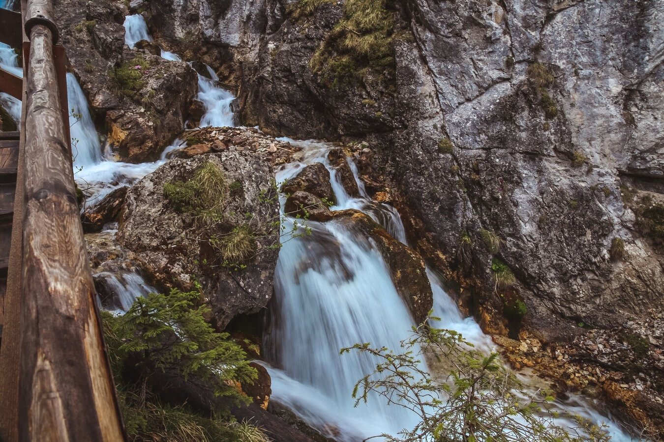
Waterfall in the Silberkarklamm | © Erlebnisregion Schladming-Dachstein | Schladming Dachstein
1/3
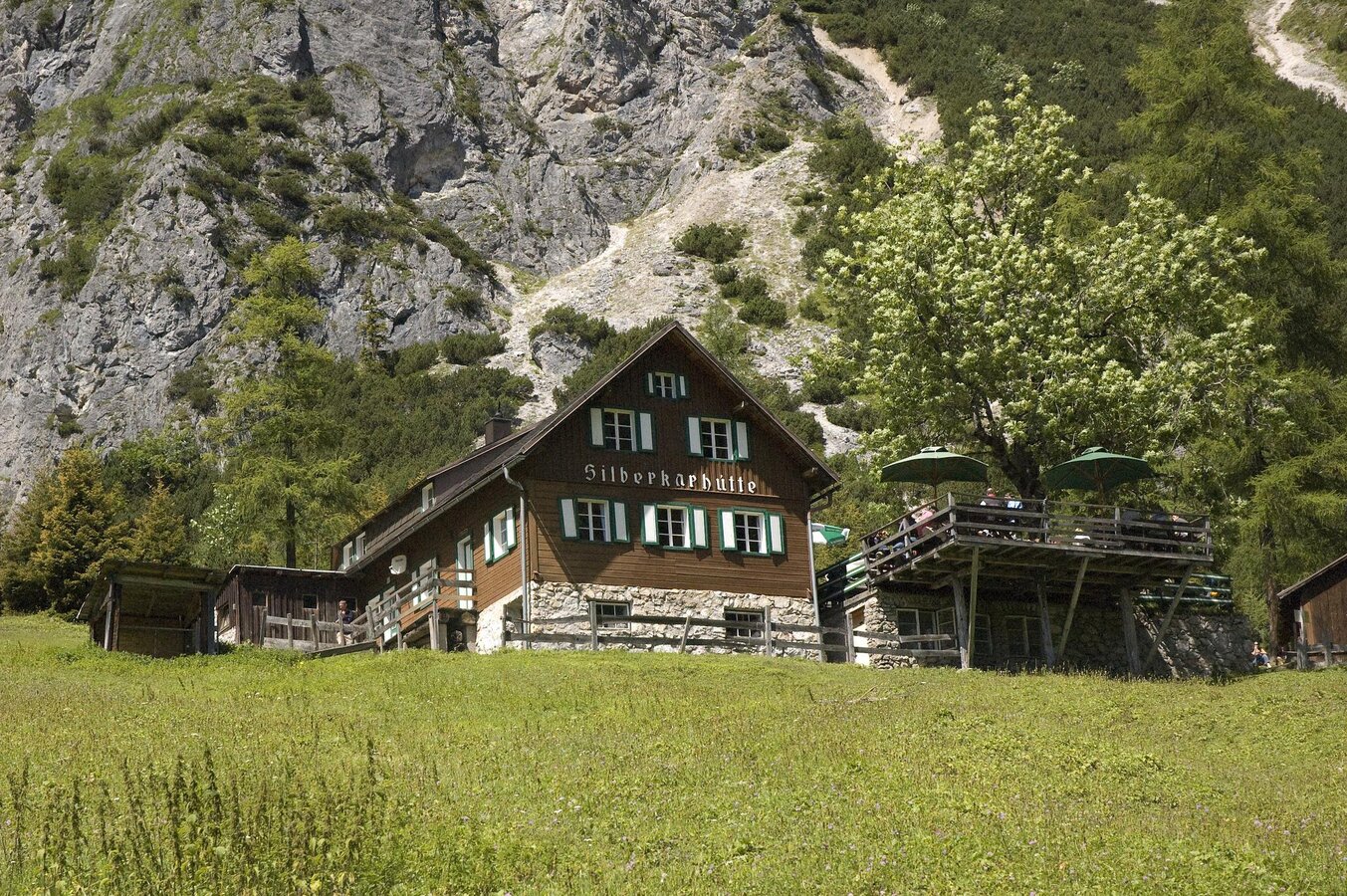
Silberkarhütte | © Herwig Erlbacher
2/3
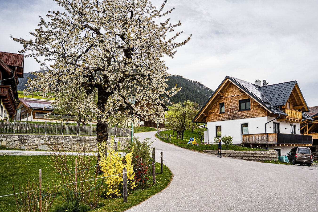
Birnberg circular trail in spring | © Gerhard Pilz | Gerhard Pilz
3/3

What the weather will be like Schladming (740m)
Today, 23.10.2026
The day starts sunny, but will be partly cloudy in the afternoon.Morning

-2°C
sr.Regenwahrscheinlichkeit
0%
sr.Windstärke
0 km/h
Noon

10°C
sr.Regenwahrscheinlichkeit
0%
sr.Windstärke
5 km/h
Night
6°C
sr.Regenwahrscheinlichkeit
15%
sr.Windstärke
5 km/h
Tomorrow, 24.10.2026
Rainfall will end around noon, then the clouds will break up.Morning

3°C
sr.Regenwahrscheinlichkeit
80%
sr.Windstärke
5 km/h
Noon

6°C
sr.Regenwahrscheinlichkeit
85%
sr.Windstärke
5 km/h
Night

2°C
sr.Regenwahrscheinlichkeit
45%
sr.Windstärke
5 km/h
Forecast
24.10.2026
-1°C
7°C
25.10.2026
-1°C
9°C
26.10.2026
3°C
12°C
